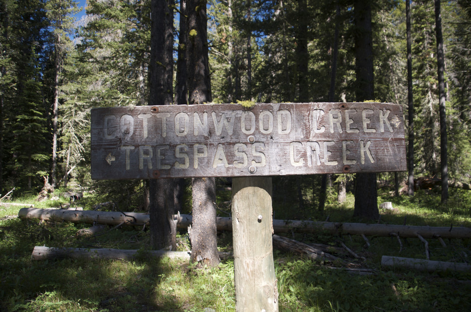
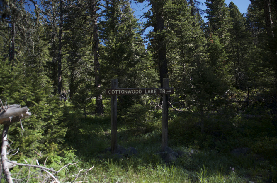
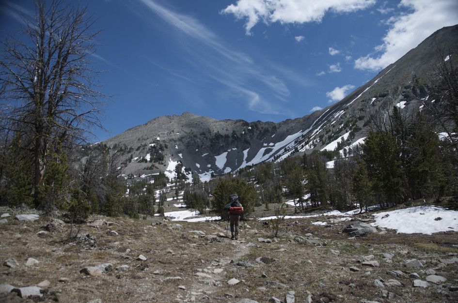
Campfire Lake is the kind of destination that keeps the Crazy Mountains worth caring about. The approach through the Cottonwood Creek drainage is straightforward, but once you turn north on Trespass Creek, the trail degrades fast, with downed logs, brush, and rough footing that tells you clearly this is not a high-maintenance area. Most hikers turn back here. The ones who push through get the ridge.
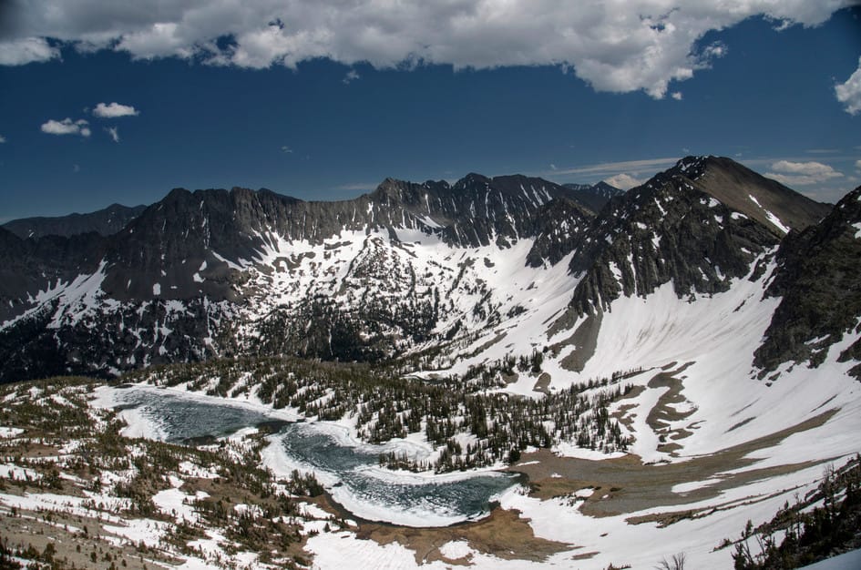
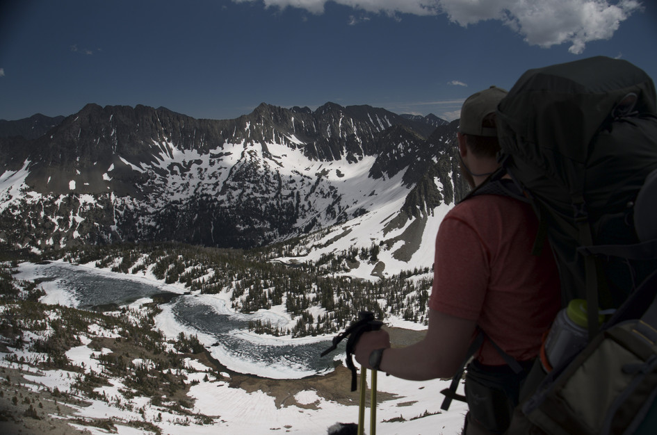
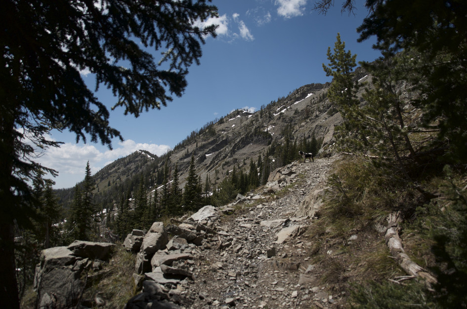
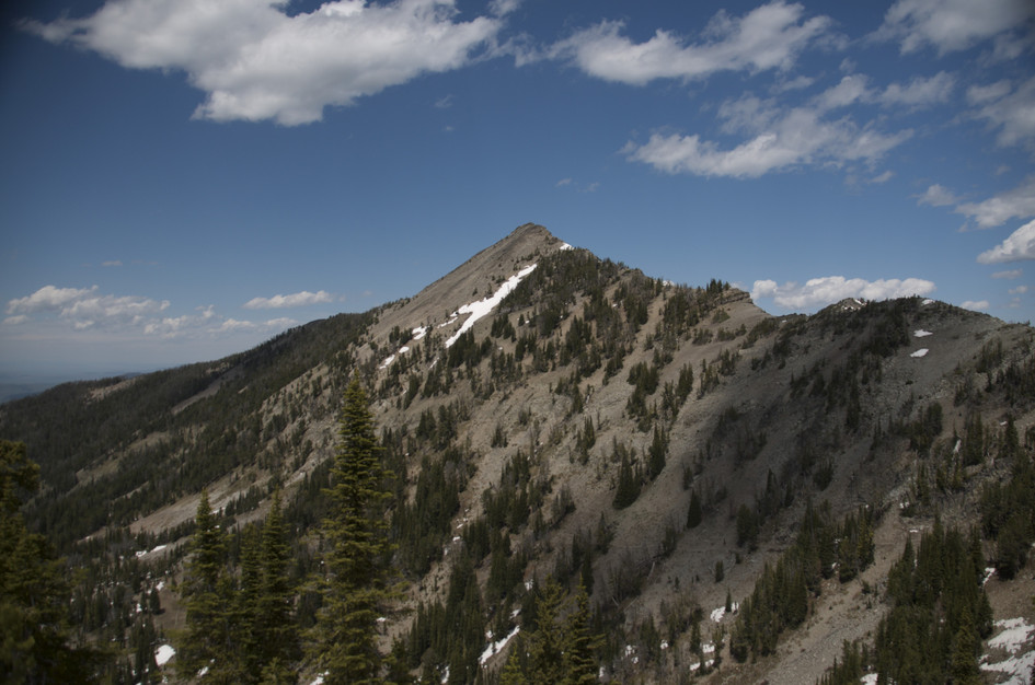
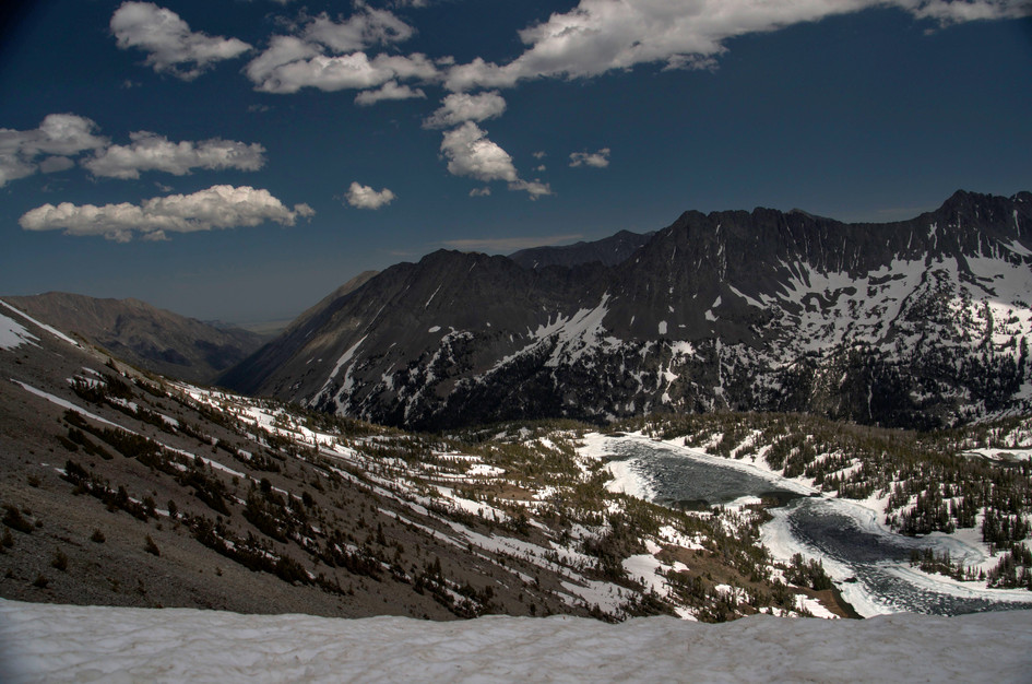
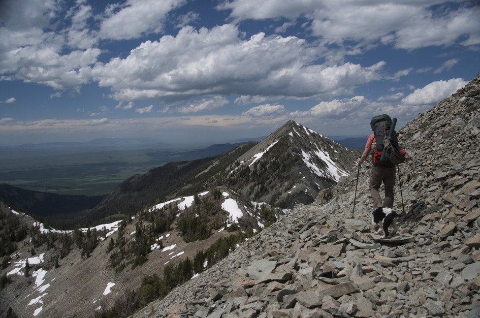
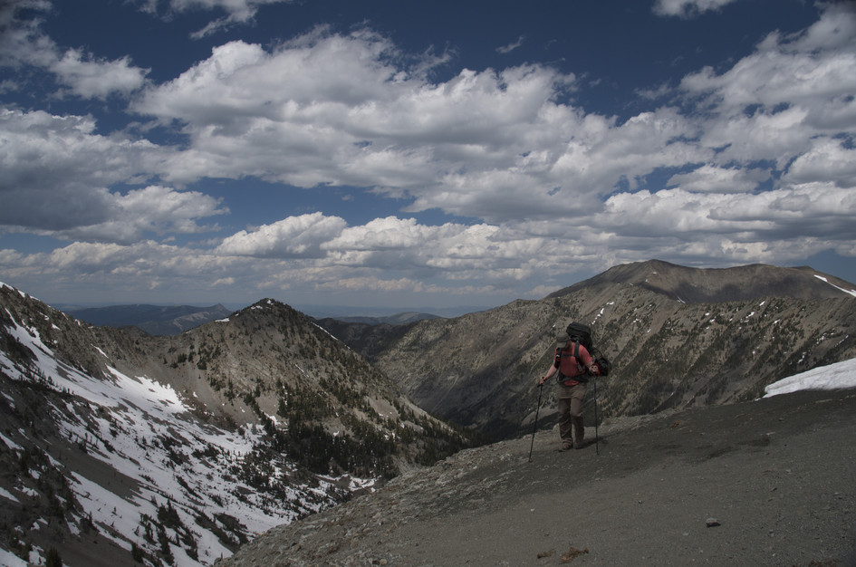
The ridge view is what makes it. You come over the top and the lake is there below you, a sudden reveal after hours of forest with no preview. The descent from the ridge is steep and loose, but the lake at the bottom is quiet in a way that popular destinations near Bozeman never are. Bring the fishing rod, or at least bring lunch and find a rock near the water and stay for a while.
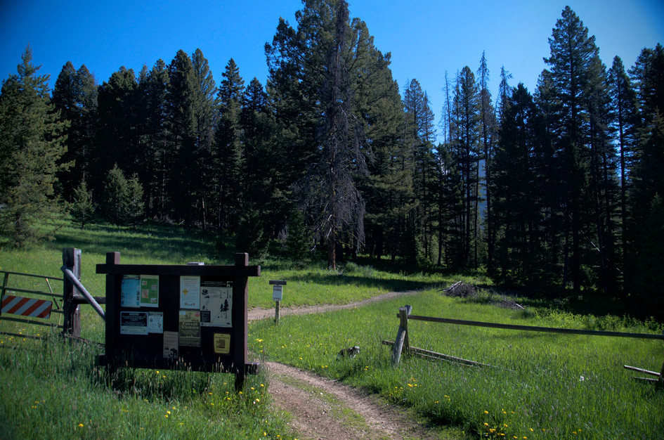
Although there are only a handful of places to park, this trailhead doesn't get much traffic. You should not have a problem finding a spot.
Don't expect to see too many other folks on the trail, especially after turning north on Trespass Creek.
Cottonwood Road becomes very narrow with lots of ruts and potholes. It's recommended to take a high-clearance vehicle.
No service available on this hike.
If your dog is in good enough shape, it will enjoy this hike.
64 Miles from Bozeman, MT. 100 Minutes
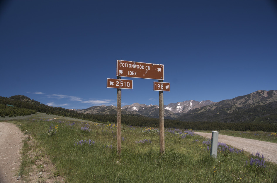
Head east on I-90 towards Livingston. Turn north on Highway 89 at the Clyde Park exit, eventually turning right onto Cottonwood Bench Road soon after you hit town. From here, follow Forest Service signs for Cottonwood Road to the Cottonwood Creek Trailhead.
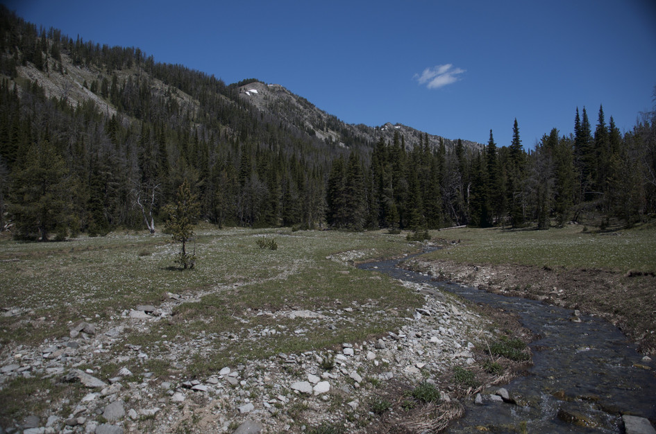
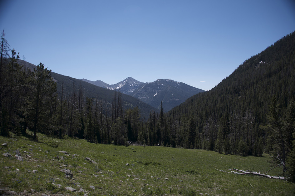
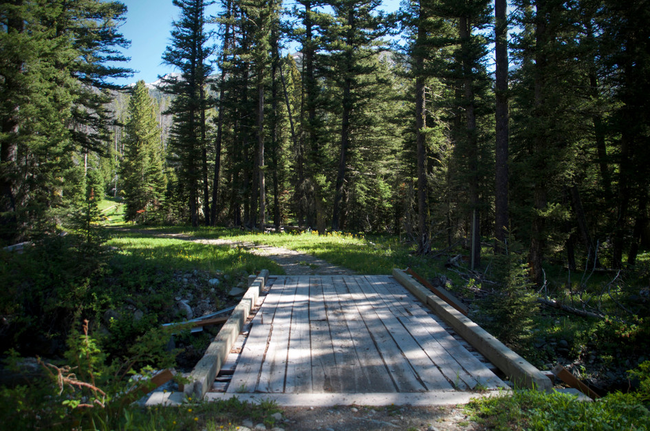
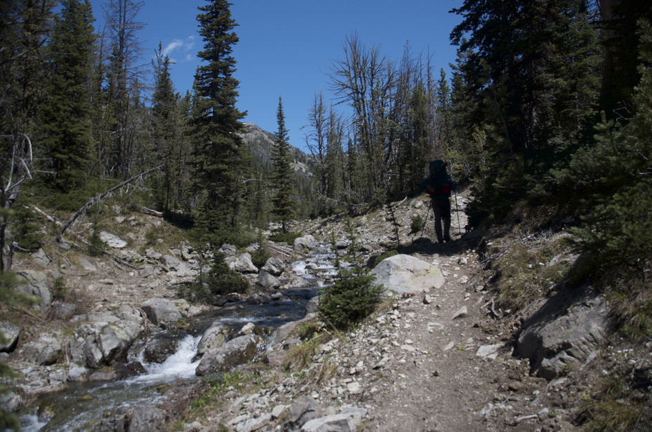
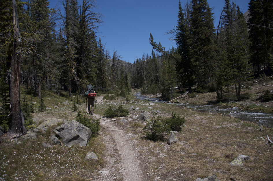
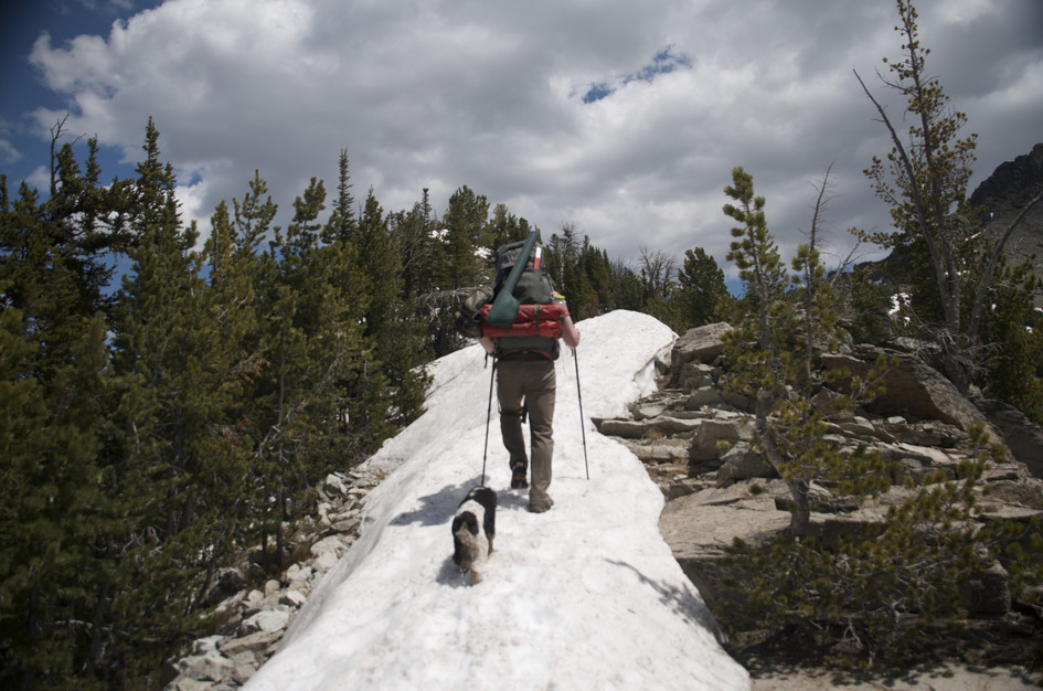
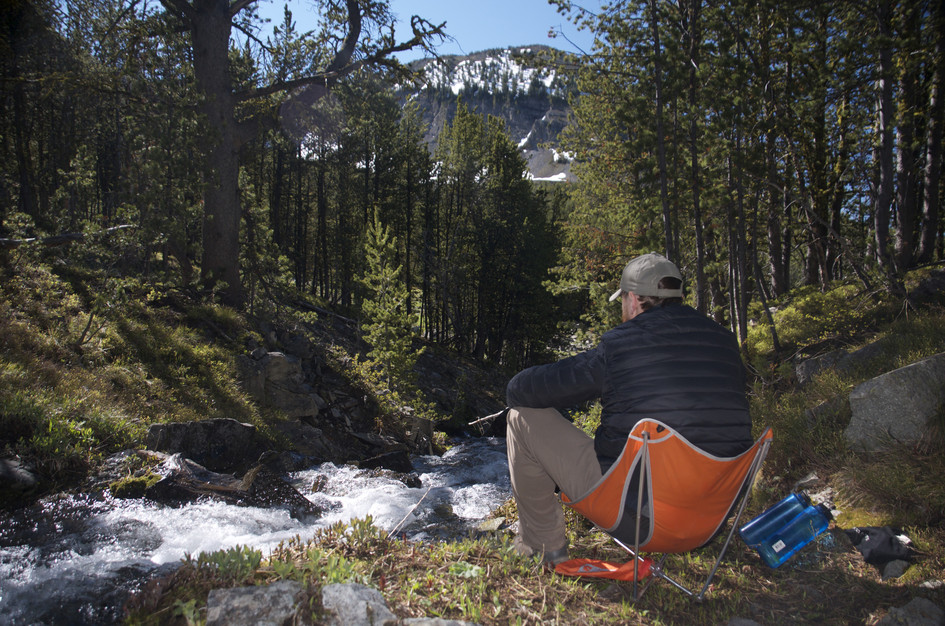
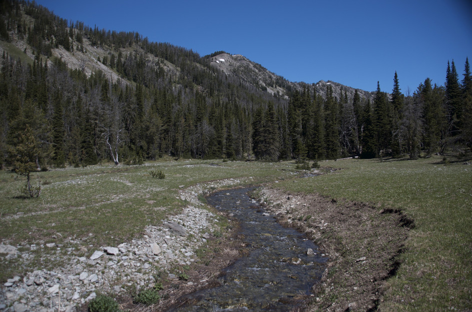
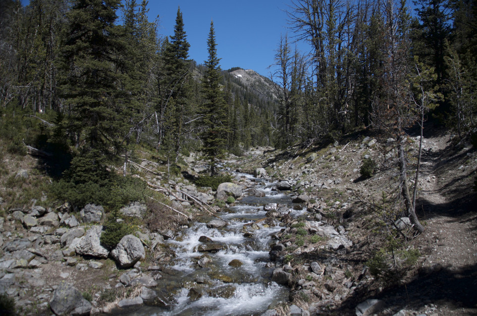
There are several creek crossings and a good portion of the trail follows a stream. Once you start ascending the ridge, there won't be any more opportunities for water until you get down to the lake.
96 oz consumed per person
The trail starts out wide and well-maintained. Once you turn onto Trespass Creek Trail the conditions become poor. Lots of downed trees and brush cover large sections of the trail. The sections of trail not covered in debris are rocky.
You'll spend some time in the shade and some time exposed on this hike. Long pants will protect your legs while climbing over downed timber. Dress in layers and prepare for changing conditions.
Footwear: Hiking Boots
This hike is long and hard, you'll need some energy. Bring a meal and a snack.
There can be light mosquitoes and flies near creek crossings, especially early season in the wet basin.
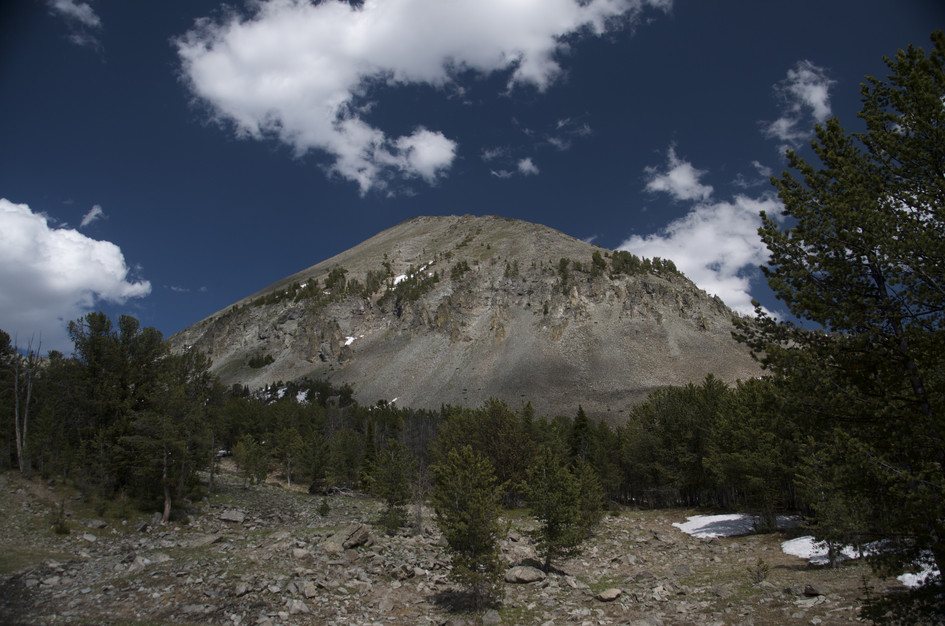
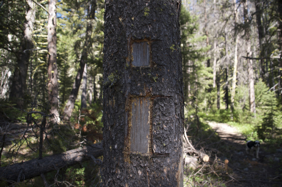
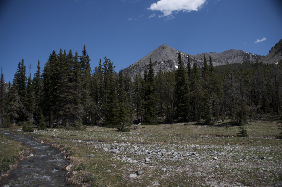
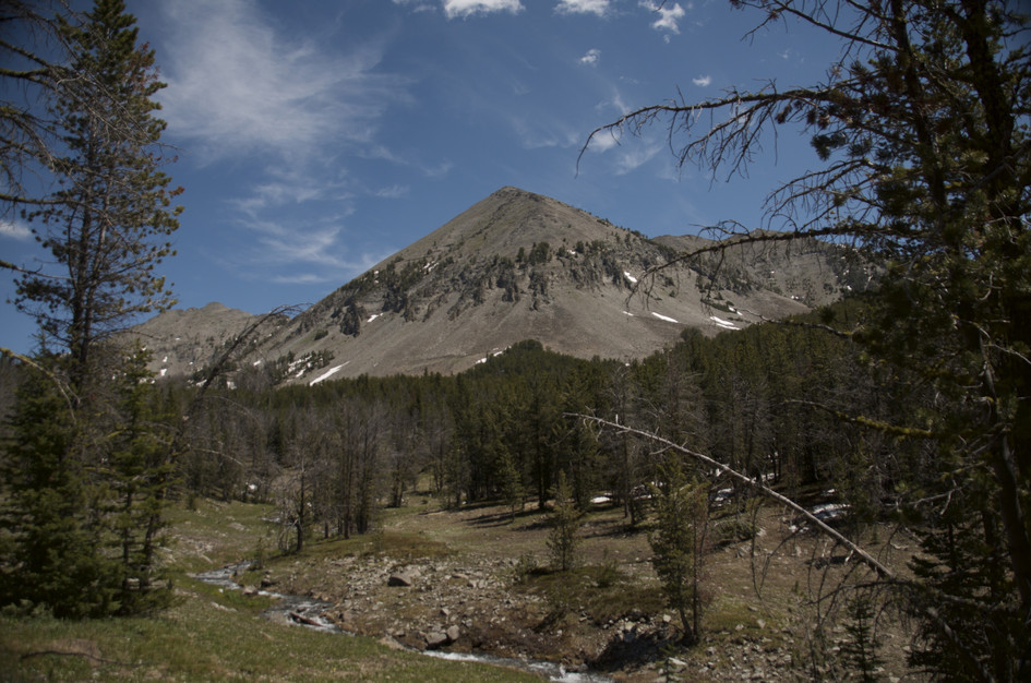
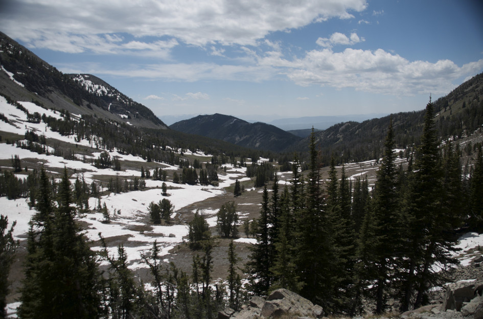
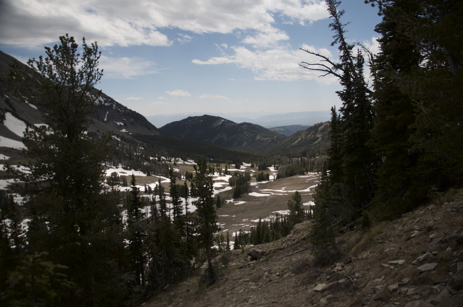
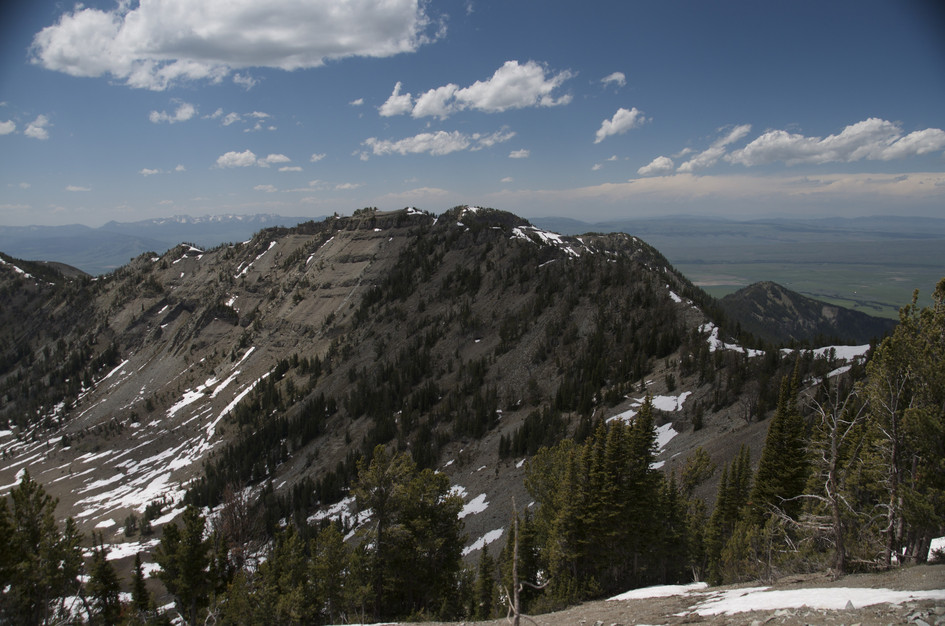
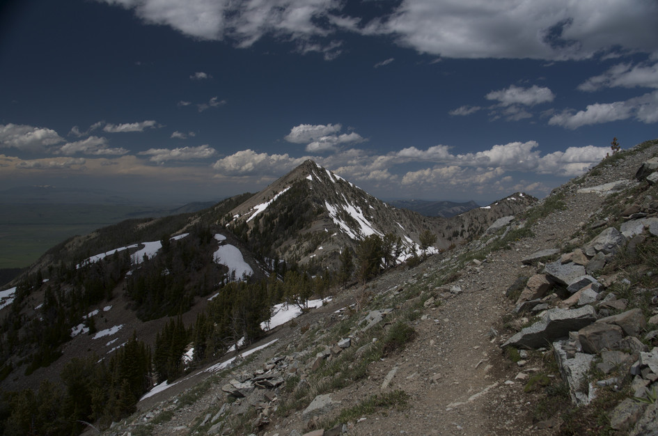
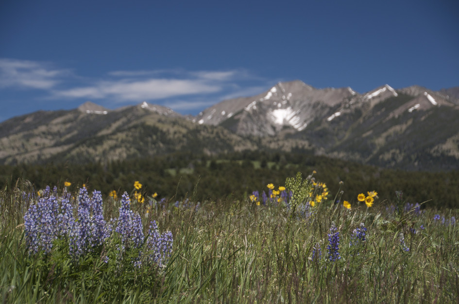
The trail starts in dense forest but thins out as you get higher. As you descend down onto Campfire Lake, you'll re-enter some light forest just below the treeline.
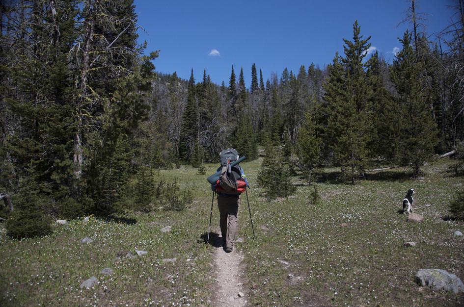
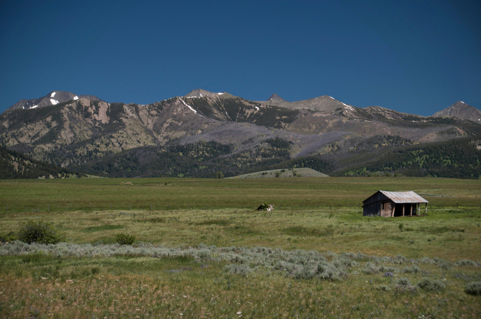
The hike to Campfire Lake is long. Unless you hike fairly fast, this is a good hike to consider for a one-night stay. If you choose to, there are places both at the lake and all throughout the drainage while you're heading towards the ridge.
Middle Fork Sweet Grass Trail
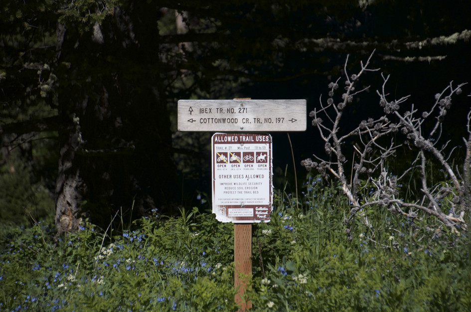
Keep heading east past Campfire Lake on the Middle Fork Sweet Grass trail. After roughly 4 miles you'll hit an intersection with plenty of connection options.
North Fork Elk Creek Trail
When you attain the ridge, you'll have a chance to head west and drop down into the Elk Creek drainage. WARNING Do not attempt to reach the North Fork Elk Creek trailhead or the Porcupine cabin from here. Private land access has been closed off and is not accessible to hikers.
Beartooth Publishing's Crazy Mountains Map covers this whole trail as well as some roads leading to the trailhead.
Late June through September. The Crazy Mountains hold snow late and the Trespass Creek section gets rough with downed debris and wet footing in early season. The 100-minute drive from Bozeman means this hike rewards planning rather than impulse.
July through August: trail clear of snow, creek crossings manageable, wildflowers on the lower meadows, cutthroat trout active at the lake.
Late June and September: June has snow possible on the ridge and high creek flow, September is the best combination of cool temperatures and solitude.
Before mid-June: snow on the high ridge at 9,528 feet and high creek flow on Trespass Creek make the trail significantly harder. The access road requires high-clearance regardless of season.
Yes. Cottonwood Road to the trailhead is rough with ruts and potholes. High-clearance is recommended and regular passenger cars may struggle on the final stretch.
The trail receives less maintenance than higher-traffic routes. Downed timber and overgrown brush cover significant sections. Most hikers who turn back do so on this section.
Yes. The lake holds Yellowstone Cutthroat trout. Bring a Montana fishing license. Evening fishing near the inlet is typically the most productive time.
No. The trailhead and access through Porcupine Cabin have been closed due to private land restrictions. Do not attempt to exit that direction.
Overnight is better. The 100-minute drive plus 8-9 hours of hiking rounds out to a very long day. Camping at the lake means waking up in a quiet basin with a completely different experience than the rushed turnaround.
Plug 6.9 miles and 1,491 feet of elevation gain into our free hiking time calculator for a personalized estimate.