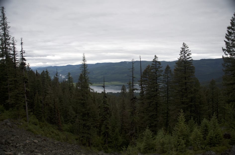
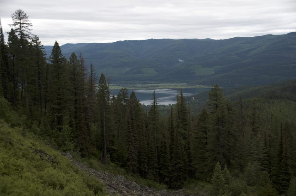
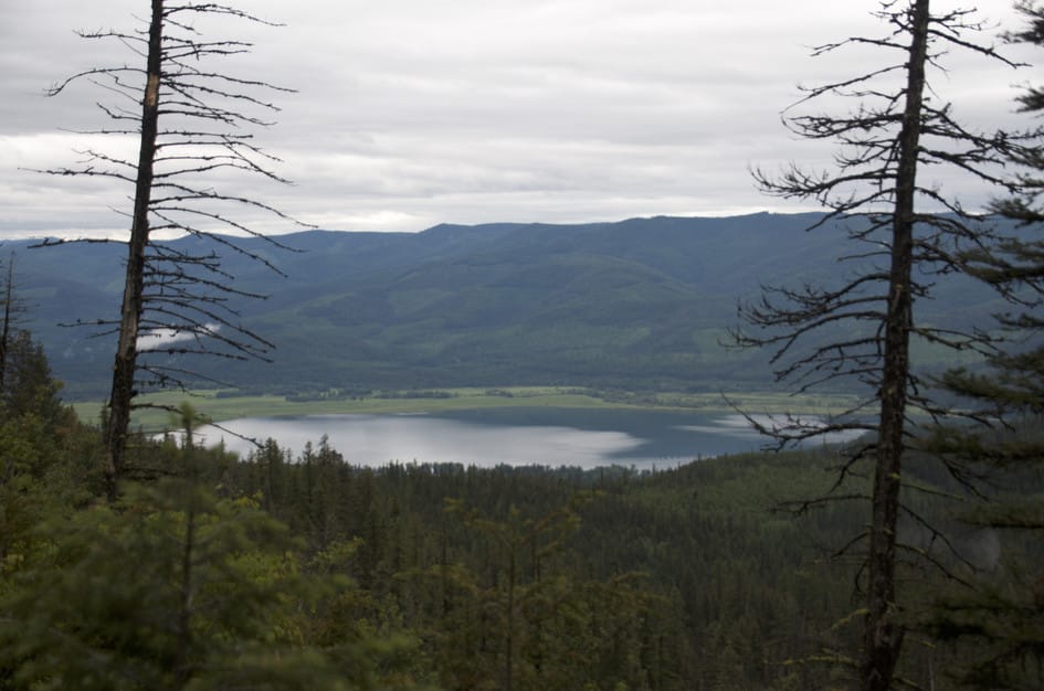
Hall Lake is not a hike you drive five hours from Bozeman to do on its own. It works best as part of a Swan Valley trip, the other half of a weekend that starts with Holland Lake Falls or the Bob Marshall entry trails. The trail through thick forest to a quiet lake full of fish is exactly what it promises, and it delivers solitude that feels earned.
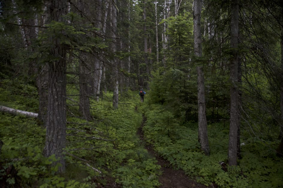
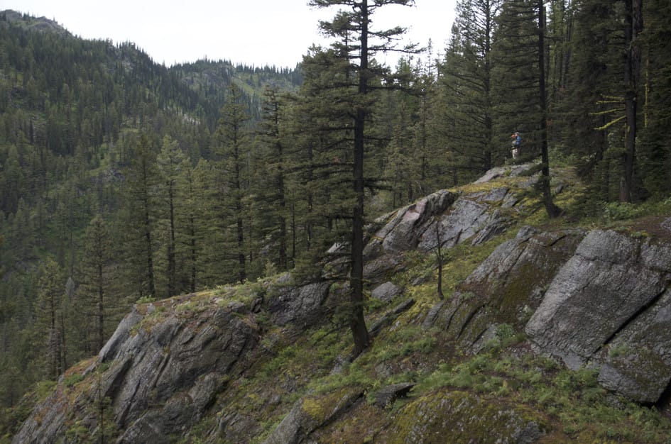
The overgrown brush is the defining characteristic of this hike. It is not dramatic terrain with big views or granite cirques, just dense forest, a gradual climb, and a lake that requires some bushwhacking to fully explore. For the right kind of hiker, that is exactly the appeal. If you are in the Swan Valley and want to find out what is off the main tourist route, the Hall Lake trail is the answer.
The parking lot is large, and the hike is quiet. You'll have no trouble finding a spot.
This is a quiet trail. Even on a summer weekend you might have it to yourself.
There's a little over a mile of gravel (Fenby Lane) before you reach the trailhead. It's in decent condition and is passable with most cars, but be advised it is steep at the end. Very wet or icy conditions could make the road slick.
No service.
There's plenty of shade and water for your pooch along this hike.
274 Miles from Bozeman, MT. 253 Minutes
From Bozeman, head west on I-90. Take the MT-141 toward Avon, then head north on MT-83 towards Swan Lake.
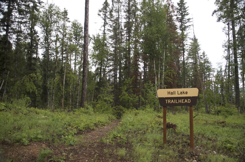
Shortly after entering the town of Swan Lake, look for Fenby Lane on your right. It is an inconspicuous gravel road right behind the Laughing Horse Lodge.
Drive through a bit of a residential area for a little over a mile, following the signs for the Hall Lake Trailhead.
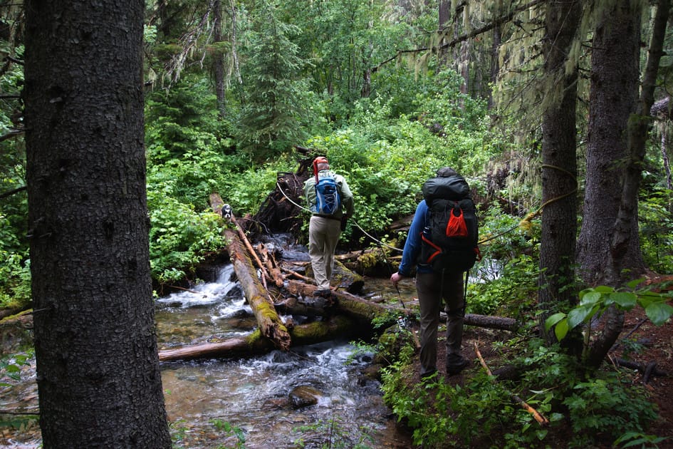
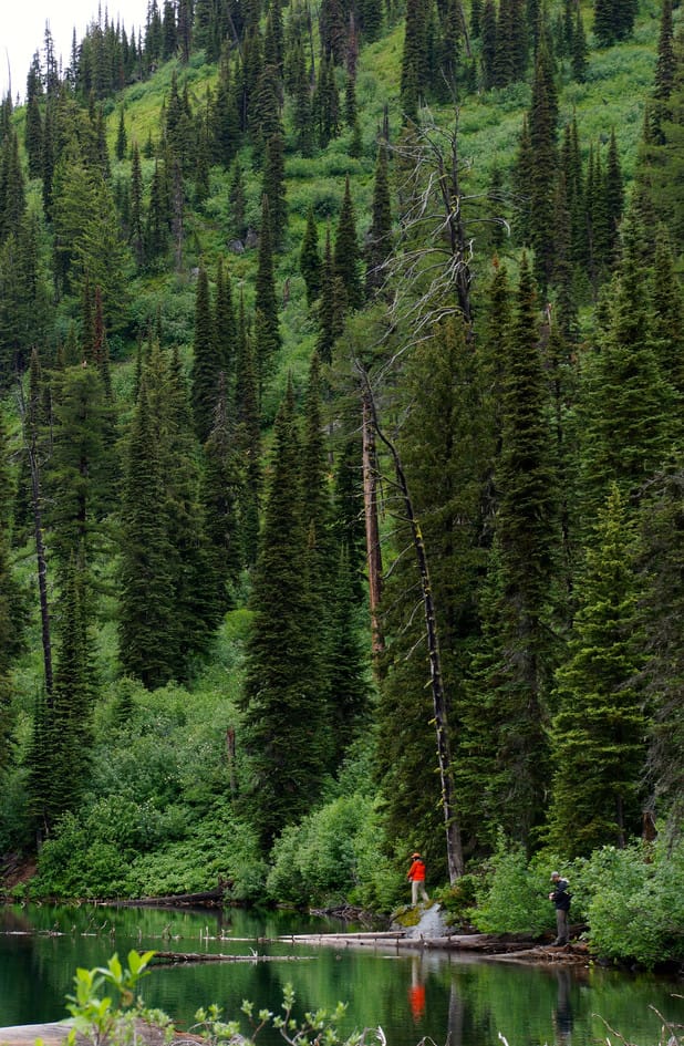
With a few stream crossings and a lake at the end you'll find plenty of opportunities if you need to purify water along this hike.
48 oz consumed per person
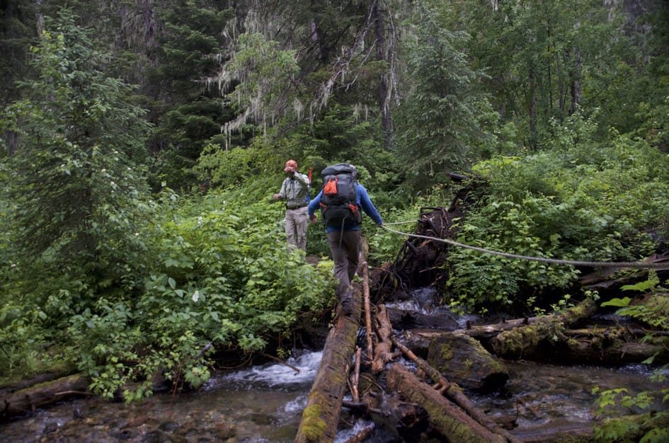
Almost the entire trail is lined with overgrown brush.
Because the vegetation around the trail is so dense, pants are definitely recommended. If it has rained recently, consider waterproof rain clothes to stay dry.
Footwear: Waterproof hiking boots are recommended for this trail
This hike is long enough that you'll want at least a snack or a small meal to eat along the way.
Especially in the wetter parts of spring and early summer, there could be mosquitoes along this hike. Bring bug spray if you plan on relaxing.
You'll be in the shade and walking through dense vegetation for almost the entire hike.
The dense vegetation makes for finding an impromptu tent spot difficult. There's a well-used site near the lake and it opens up a bit just past the water, so start your search there.
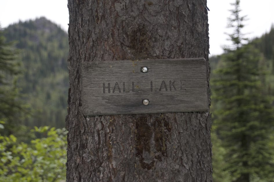
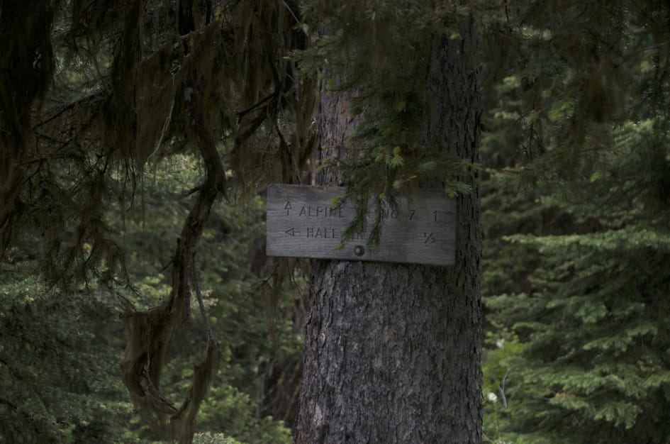
Trail #7
Continue past Hall Lake onto Trail 7 for a series of connections. Hook to the southwest to do a near loop on Six Mile lookout trail, head east to see Trinkus and Bond Lakes, or keep going north to end at the Posy Creek trailhead.
Cairn Cartographics has a Bob Marshall Wilderness Complex: North Half Map that covers this hike in its entirety.
The United States Forest Service also covers this hike in their Bob Marshall Great Bear and Scapegoat Wilderness Areas map.
Late June through September. The Swan Valley gets significant snowpack and the thick brush on this trail is worse when wet. The 274-mile drive makes this a trip worth pairing with Holland Lake Falls or other Swan Valley destinations.
July through August: brush is driest, trail most manageable, fishing in the lake is active, and the Swan Valley at its best.
June and September: June has higher moisture and brushier conditions, September is quieter with fall color beginning in the Swan Valley.
Before mid-June: the thick brush along the trail is wet and heavy, and the road to the trailhead can be slick after spring rain.
Probably not. Hall Lake works best as part of a Swan Valley trip combined with Holland Lake Falls or a Bob Marshall Wilderness entry trail. On its own, the drive is long for a moderate 9-mile hike to an overgrown lake.
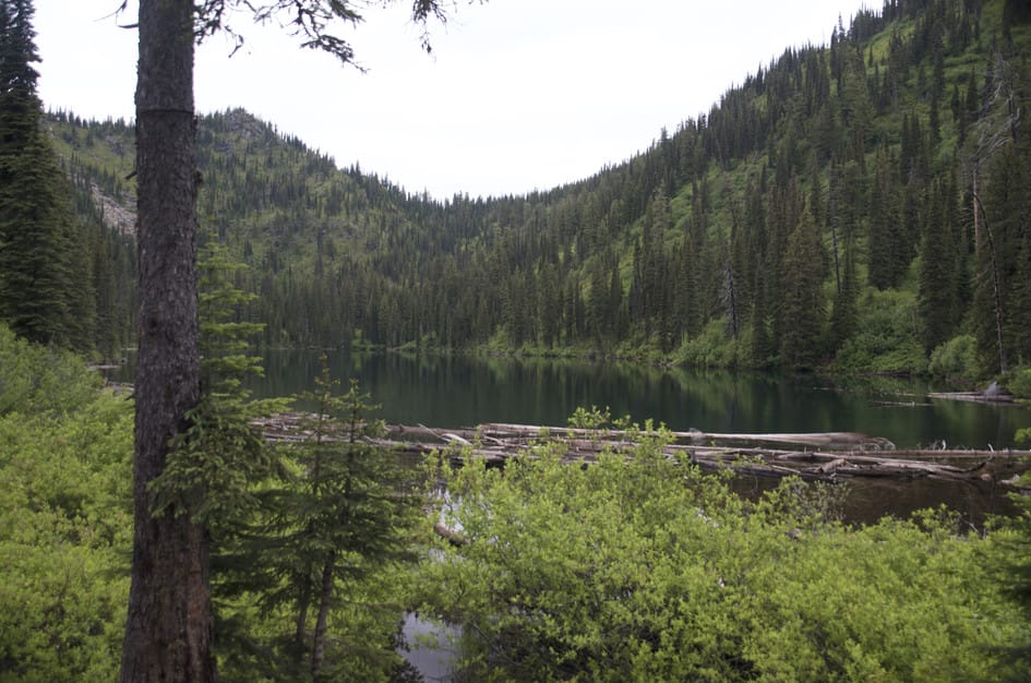
Good. The lake holds trout and most hikers who fish it report consistent action. The overgrown shoreline limits easy casting spots, so be ready to work for your position.
Almost entirely lined with dense, brushy overgrowth that can be wet and scratchy. The trail itself is gradual and easy to follow, but the brush is the defining experience of this hike.
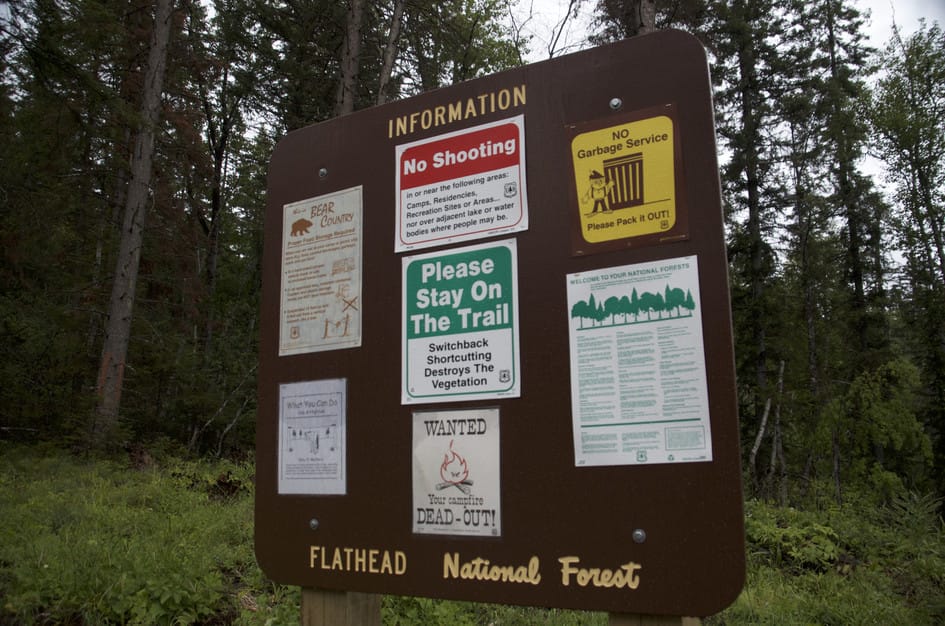
No. No facilities at the Hall Lake Trailhead. Plan before you leave the highway.
Trail 7 continues past Hall Lake and connects southwest to the Six Mile lookout trail, east toward Trinkus and Bond Lakes, or north to Posy Creek Trailhead. Multi-day options are available.
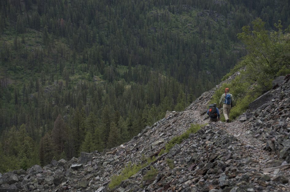
Plug 9 miles and 1,857 feet of elevation gain into our free hiking time calculator for a personalized estimate.