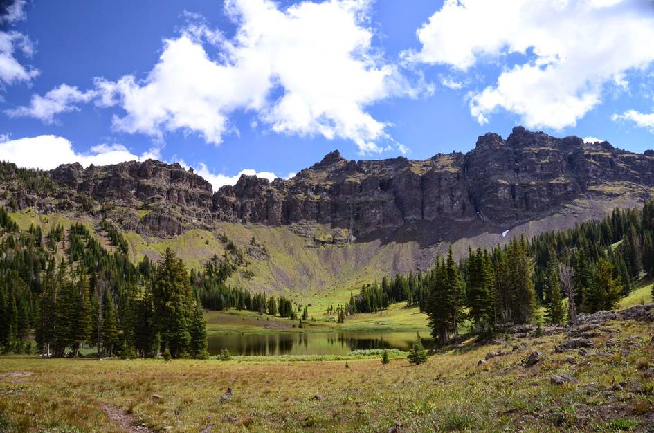
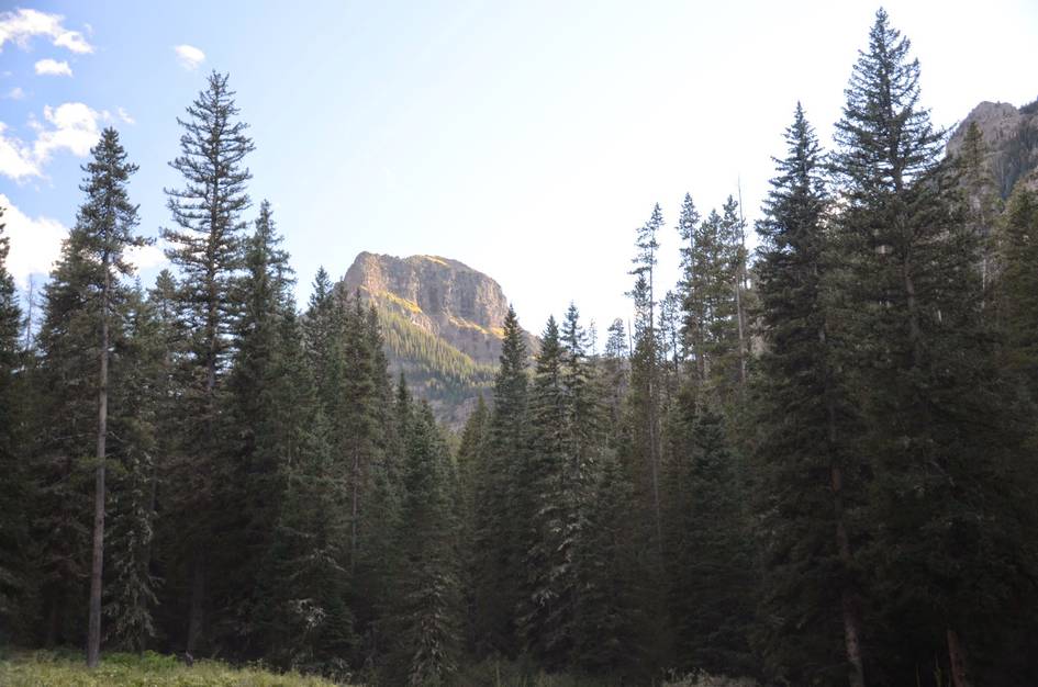
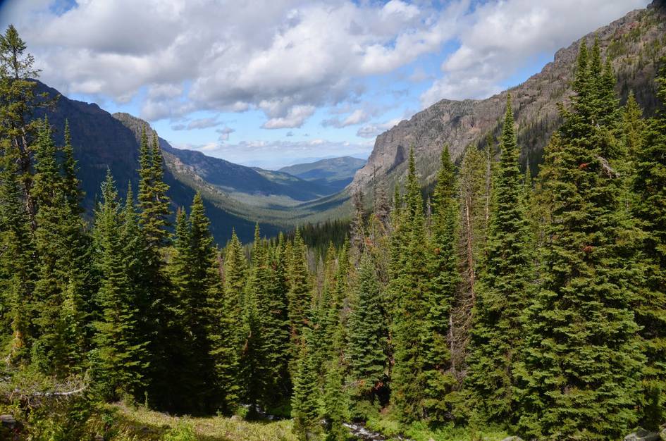
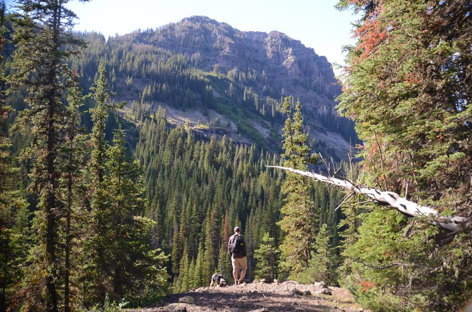
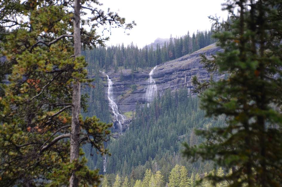
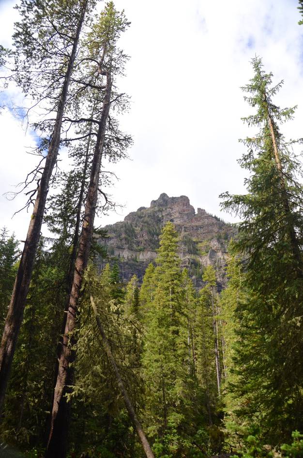
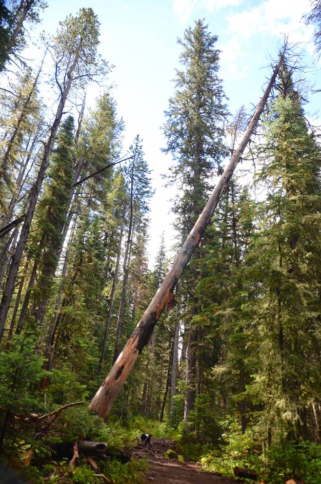
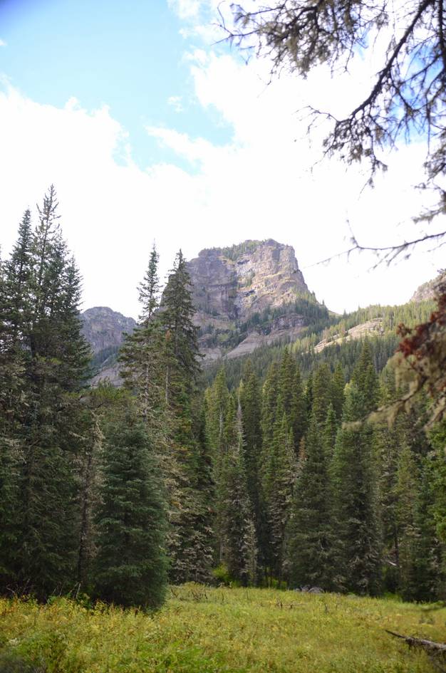
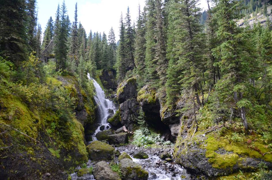
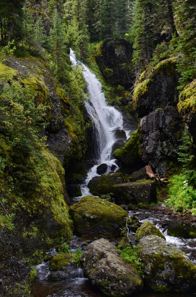
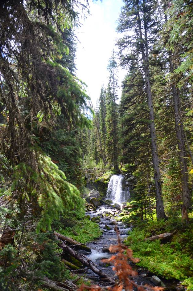
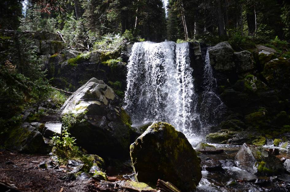
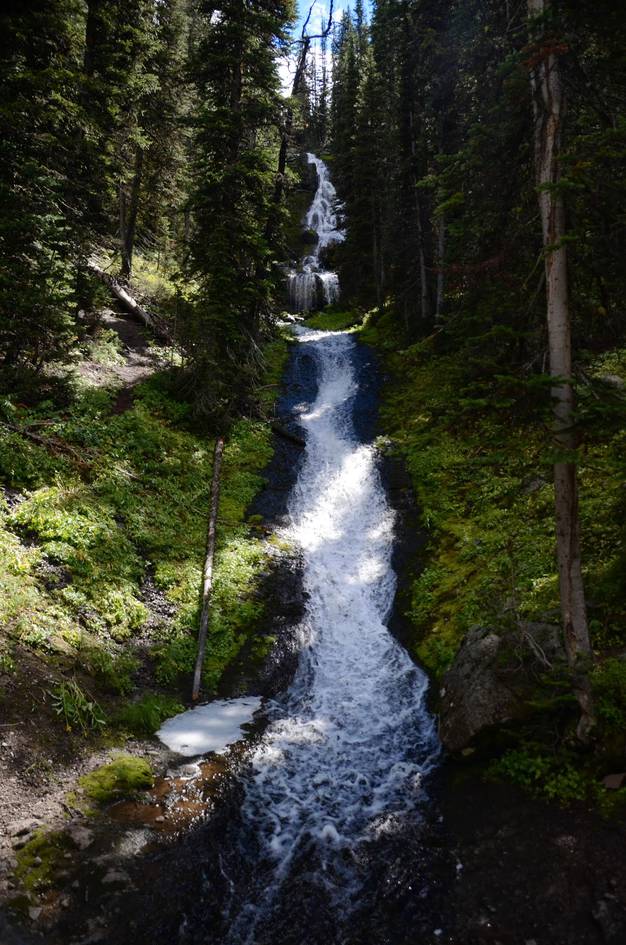
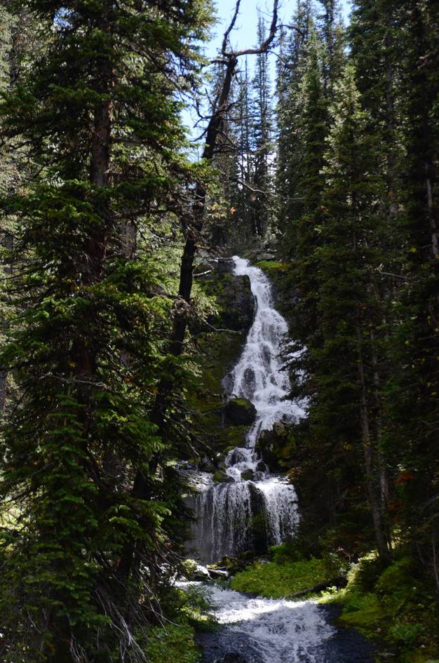
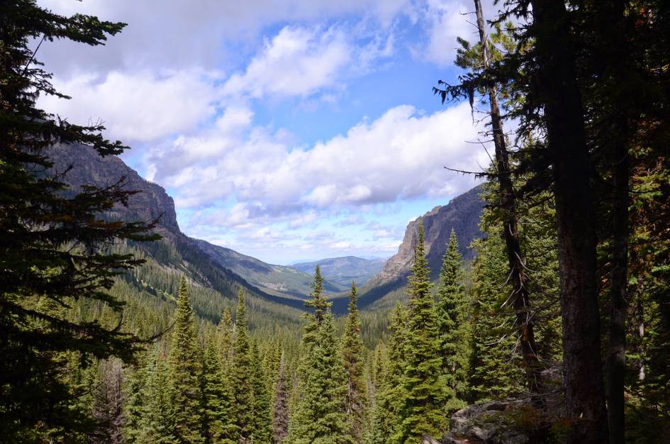
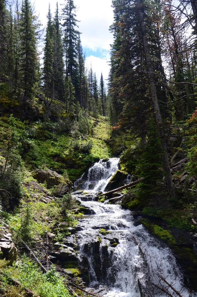
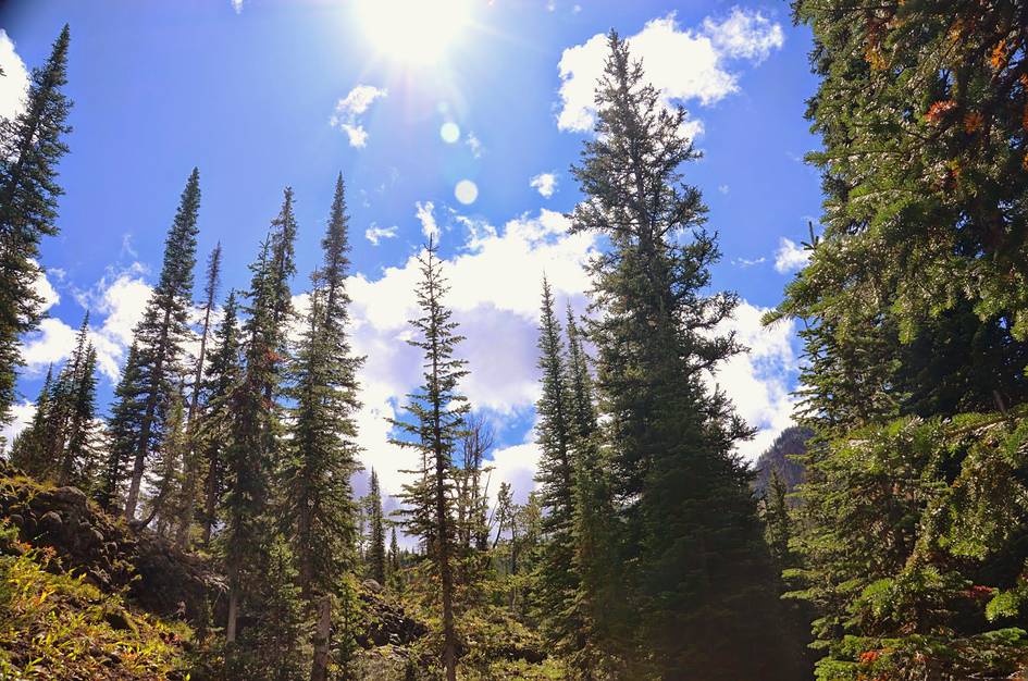
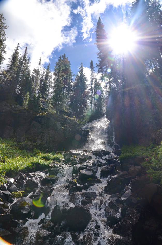
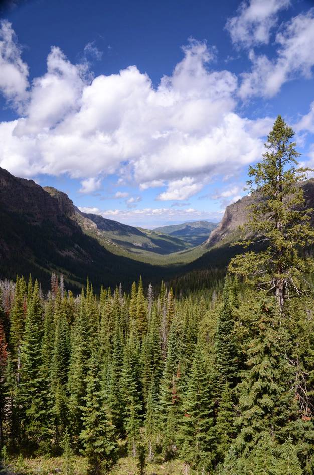
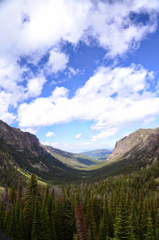
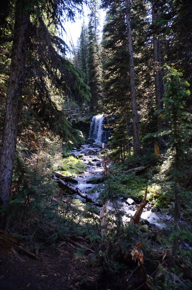
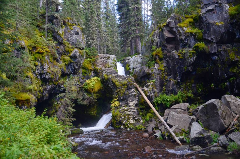
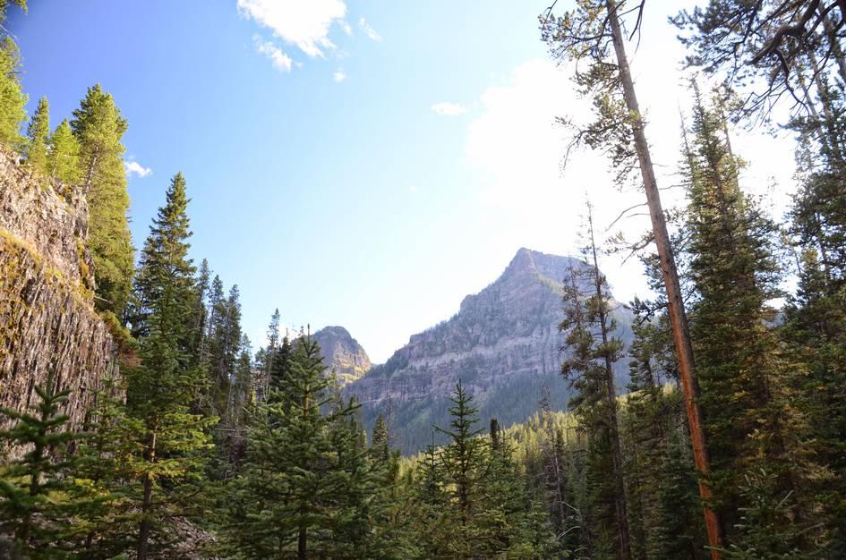
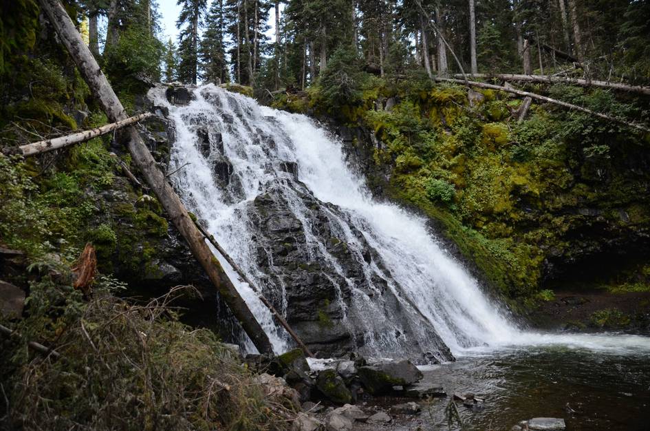
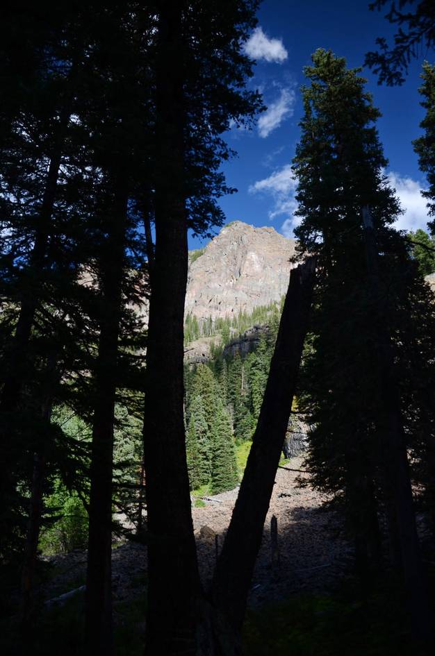
The Hyalite Lake trail is one of those hikes where the journey is genuinely better than the destination. Most alpine lake trails save the payoff for the end. This one distributes it across the whole hike: waterfall after waterfall through dense canyon forest, with the glacier-carved walls visible through the trees on the upper section. By the time you reach the lake, you have already seen the best parts.
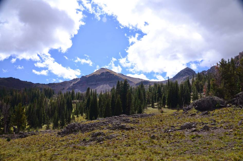
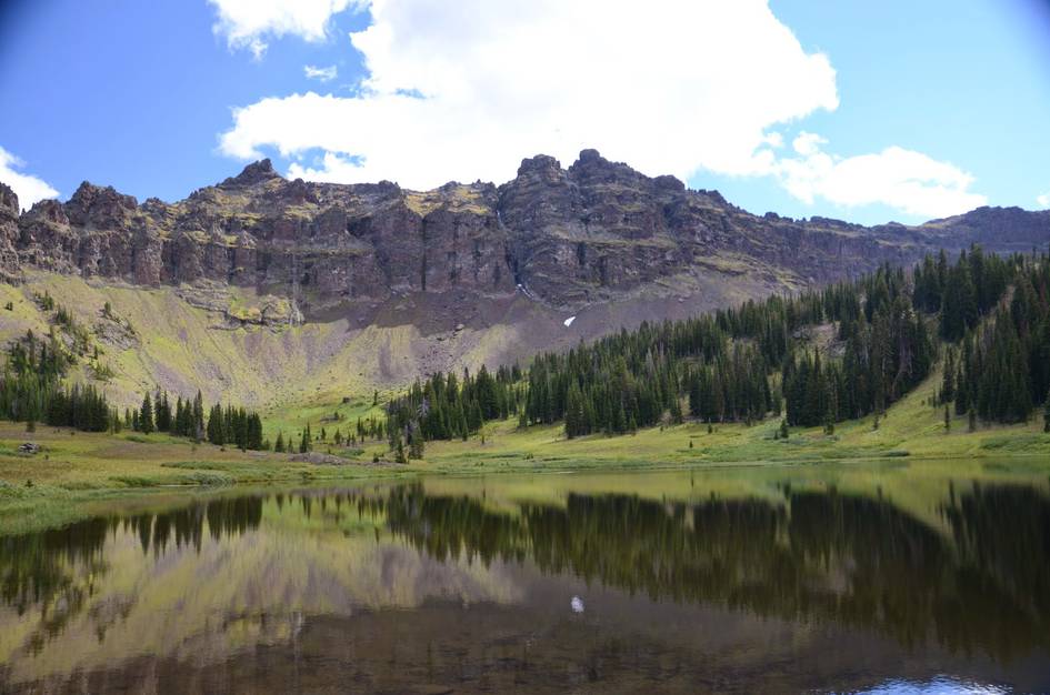
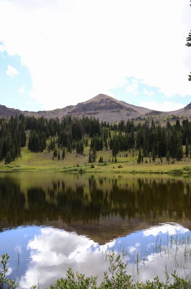
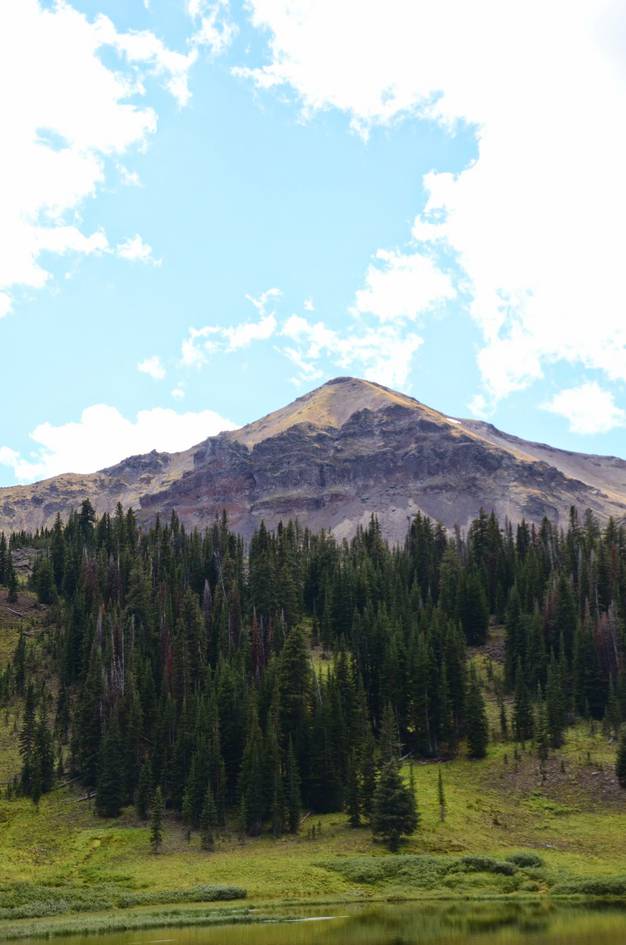
The lake itself is small and shallow, which is worth knowing before you go. It sits in a rocky basin with peaks behind it, and it is fine. The route that gets you there is better than fine. If you want to combine it with a bigger objective, Hyalite Peak is accessible from the lake and adds several more hours. For most hikers, 12 miles with nearly 1,900 feet of gain through a canyon full of waterfalls is enough.
There is a large gravel parking lot at the trailhead.
There's a vault toilet near the trailhead sign.
All hikes near the reservoir see a lot of foot traffic, but due to its length, this one never gets too crowded.
The road up to Hyalite is windy and slow, but paved and in great condition. Once you cross the dam the dirt road begins. It's bumpy and narrow, but is passable with a car.
You won't have any phone service on this hike.
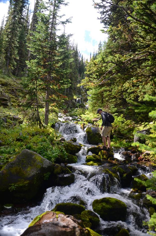
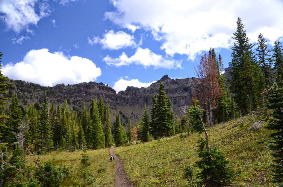
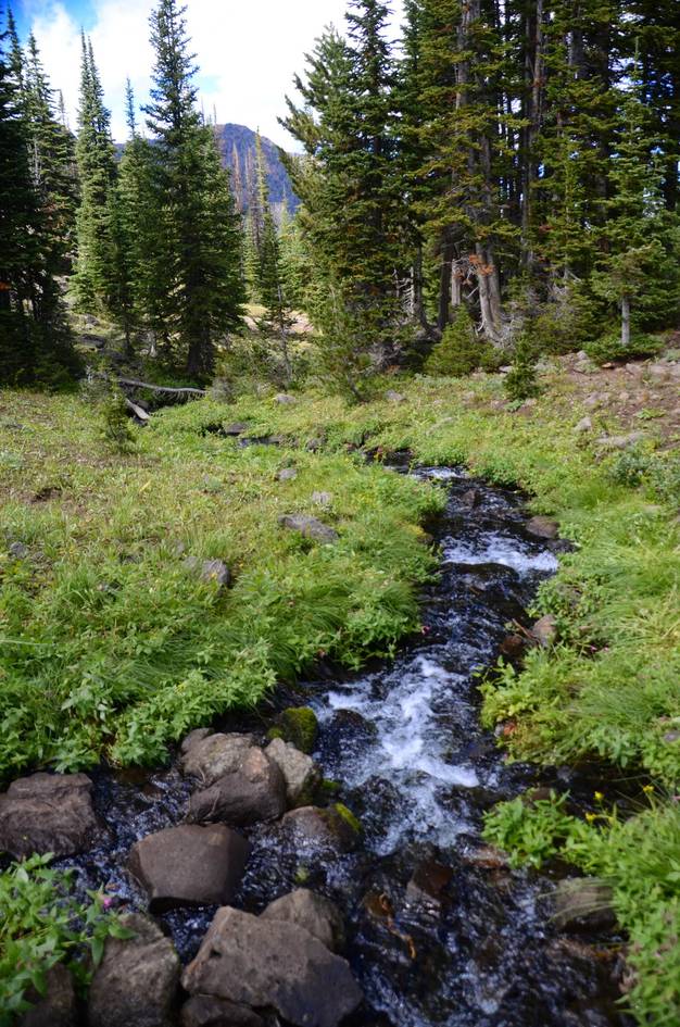
There is plenty of shade and water along the entire hike. This is a great trail for your pooch if it has the endurance.
21.5 Miles from Bozeman, MT. 43 Minutes
From Bozeman, drive south on 19th Street for about 5 miles. Follow the curve to the right and drive for another mile or so, following the signs to take a left onto Hyalite Canyon Road.
Follow Hyalite Canyon Road up to the reservoir. Take it across the dam and keep right onto the gravel. Continue on the road along the east side of the reservoir, staying right until it dead ends at the Hyalite Lake Trailhead.
Be Advised: Hyalite Canyon Road is closed annually between April 1st and May 15th. You will not be able to reach this hike by car during this time.
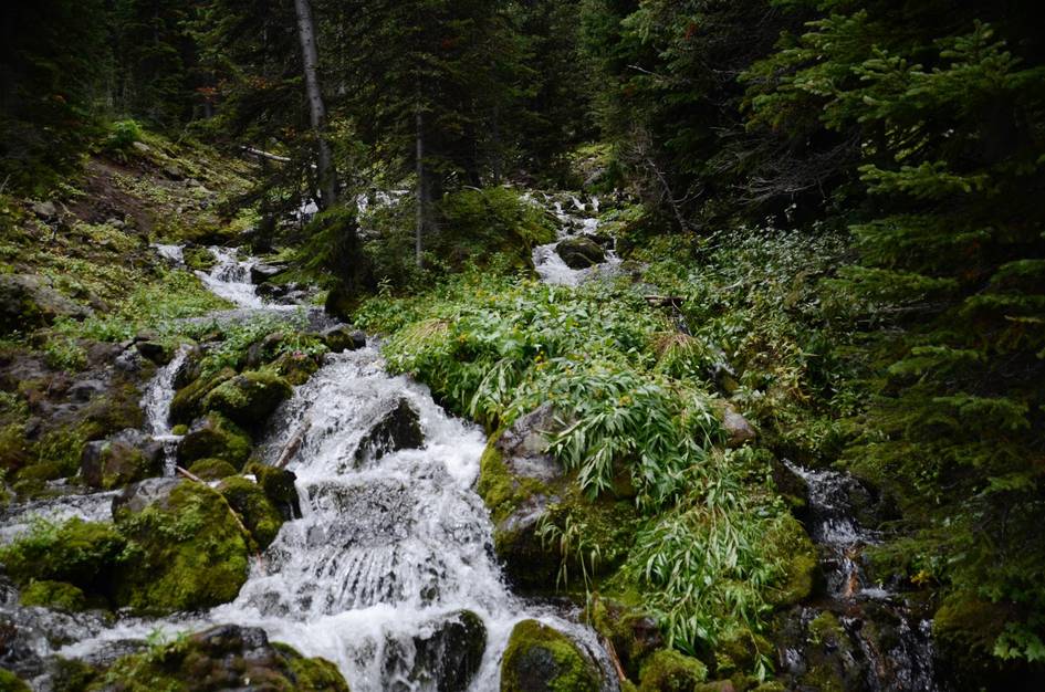
The hike runs along Hyalite Creek and ends at a lake. There are nonstop opportunities to purify water.
96 oz consumed per person
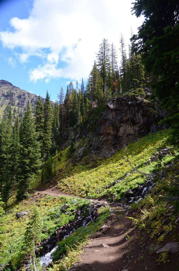
This trail is heavily used, well-worn, and easy to find.
Expect snow on the trail all the way into July and again in late September.
The hike is mostly shaded, so in cooler months (May, September, Oct.) you will want long pants and a warm layer (sweater, jacket). In warmer weather you will be able to enjoy nice long breaks from the sun. If you're planning on spending some time at the lakes there is little to no cover, so you will want sunscreen.
Hiking boots in the early spring and fall because of snowmelt. A comfortable pair of tennis shoes would work in the drier months, though, there are a few very shallow stream crossings where waterproof boots will keep your feet dry.
Footwear: Tennis Shoes OK
Though not overly strenuous, you'll be on the trail all day. Pack a full meal to eat at the top as well as snacks to munch along the way.
The area around the lakes near the top of the hike is wet and has potential for bugs. Bring your spray.
The majority of the hike is in dense trees with lots of shade, however, the basin with the lake has very few trees.
This entire hike runs through national forest and there's potential camping spots off spur trails. There's also some well-worn sites near the lake, connections to open up multi-day trip possibilities, as well as developed campgrounds near Hyalite reservoir: Chisholm Campground or Hood Creek Campground.
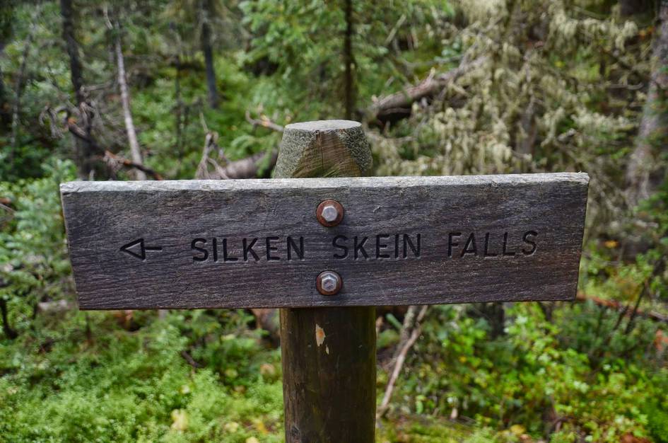
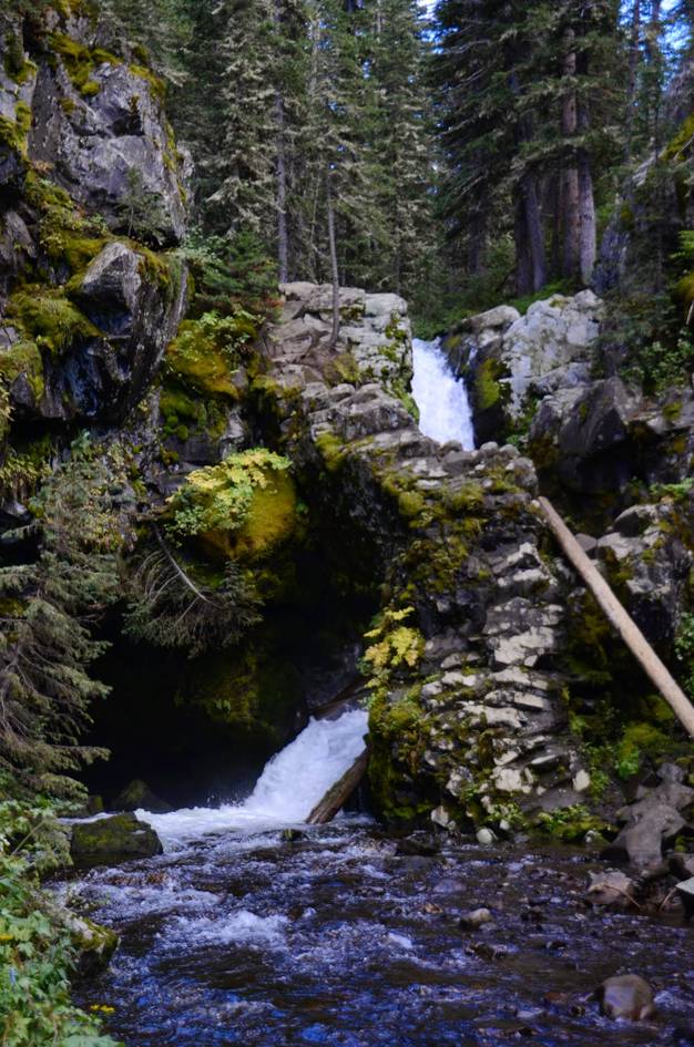
Grotto Falls
About a mile into the hike you'll see a sign for a dead-end spur trail that drops 1/2 mile towards Grotto Falls.
Storm Castle Creek
When you're getting close to the lake, instead of taking a left, hang a right onto Storm Castle Creek Trail.
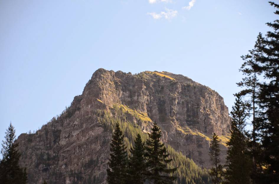
Hyalite Peak
Continuing on from the lake takes you to Hyalite Peak. Expect this to add another 3 hours round trip to the hike.
Past the Peak
Continuing on past Hyalite Peak brings you to a network of trails with lots of options. Loop west to Swan Creek, East to Horseshoe Basin and Fridley Lakes, or South then East towards Big Creek in Paradise Valley.
Beartooth Publishing's Bozeman Area Map includes this trail all the way to the lake.
Late May through October is the best window after Hyalite Canyon Road reopens. The 10 waterfalls run strongest in June from snowmelt. Snow can linger on the upper trail through July.
July through August: trail clear of snow, waterfalls running well, lake accessible, best conditions for continuing to Hyalite Peak.
June and September: June brings the highest waterfall flow and early wildflowers, September is cooler and quieter with fewer people on a long trail.
Before May 15: Hyalite Canyon Road is closed April 1 through May 15. Snow may persist on the upper sections through June.
Honestly, the canyon is the draw, not the lake. The lake is small and shallow and the trail description says so plainly. If you go expecting a dramatic alpine lake, you may be disappointed. If you go expecting a canyon full of waterfalls, you will not be.
The lake is small and shallow and not a productive fishing destination. The trail description recommends leaving the fishing pole at home.
The road closes April 1 and reopens May 15 annually. No vehicle access to the trailhead during that window.
Yes. Continuing past the lake takes you to Hyalite Peak, adding roughly 3 more hours round trip. It also connects to a network of trails that loop west to Swan Creek, east to Horseshoe Basin, or south toward Big Creek in Paradise Valley.
Yes. Water is available the entire route and there is significant shade in the forest sections. The main concern is endurance — 12 miles is a long day for dogs that are not conditioned for it.
Plug 12 miles and 1,885 feet of elevation gain into our free hiking time calculator for a personalized estimate.