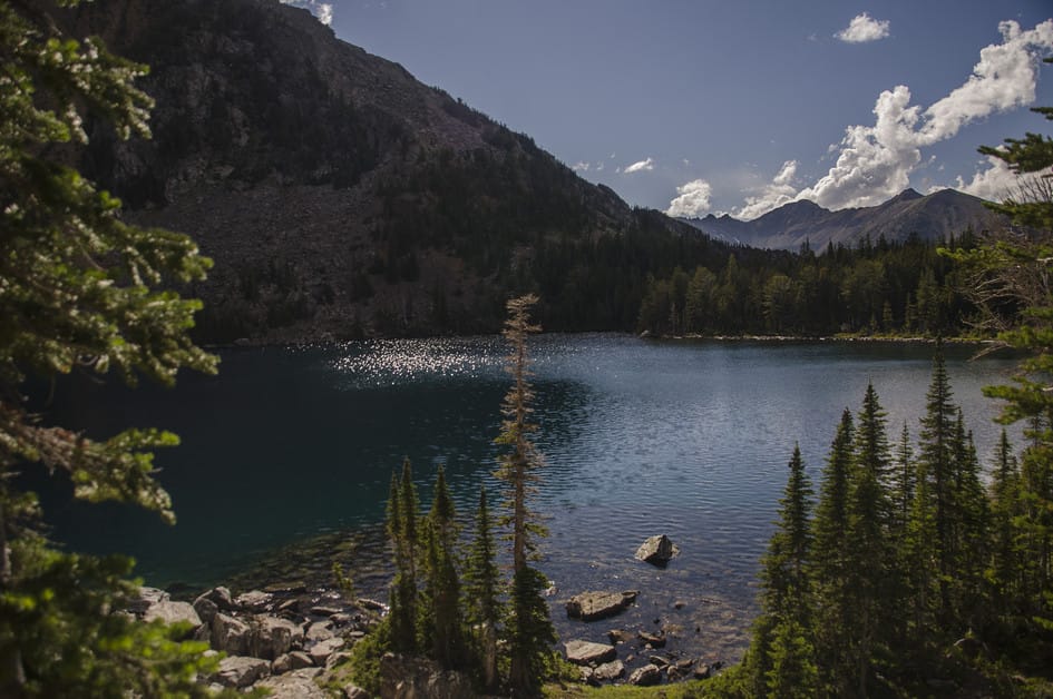
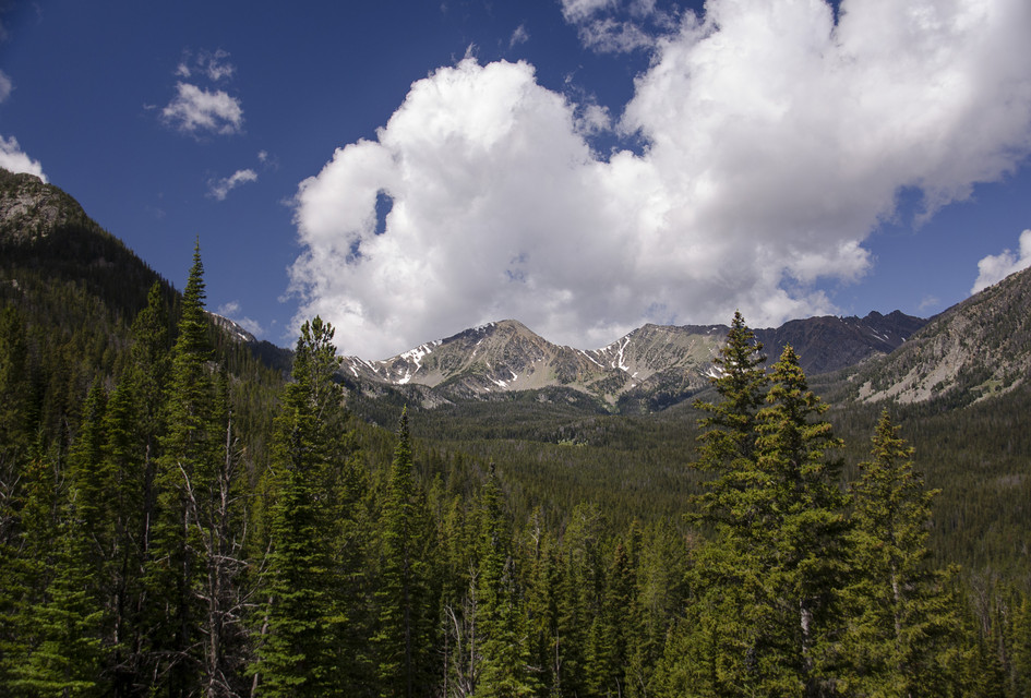
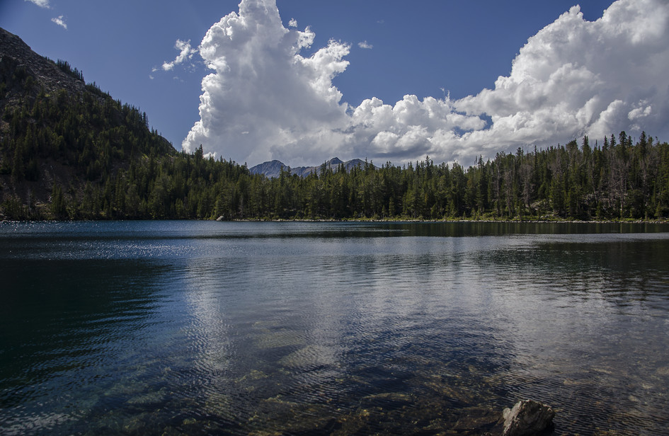
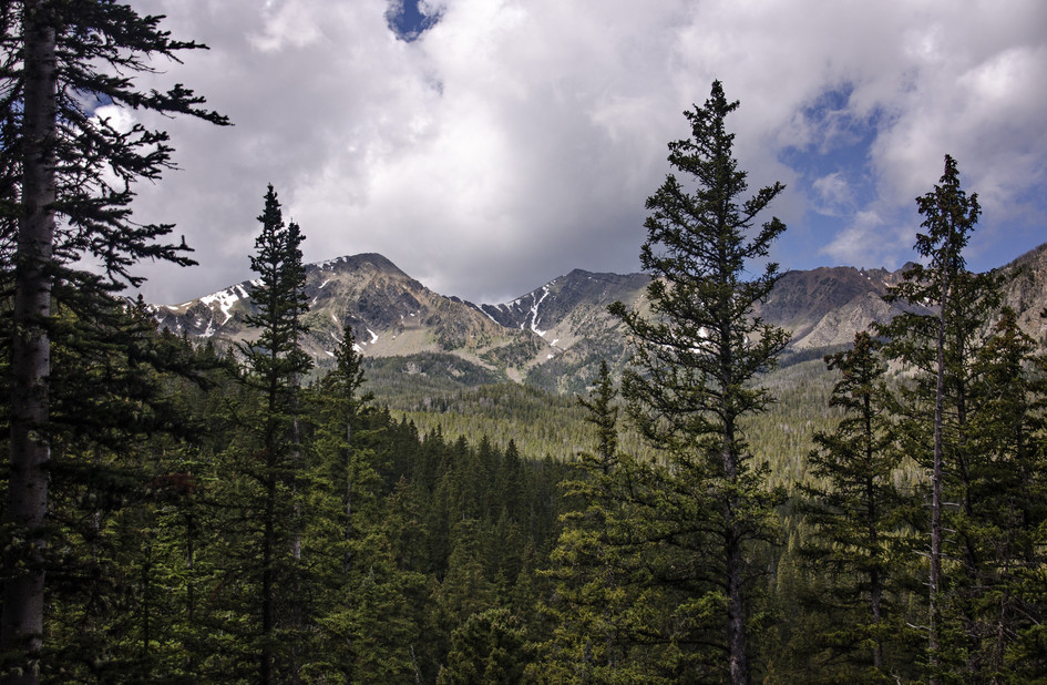
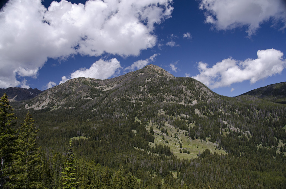
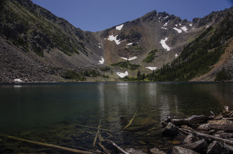
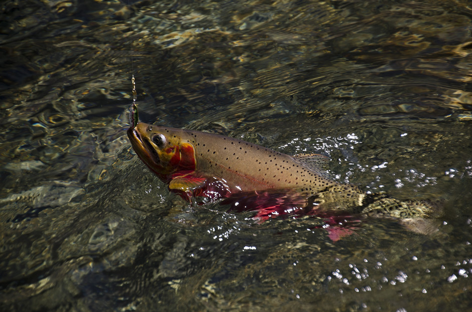
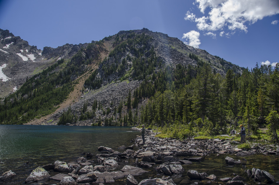
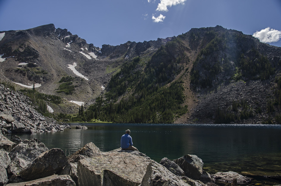
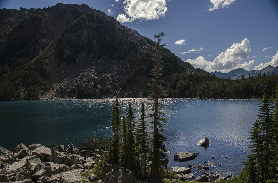
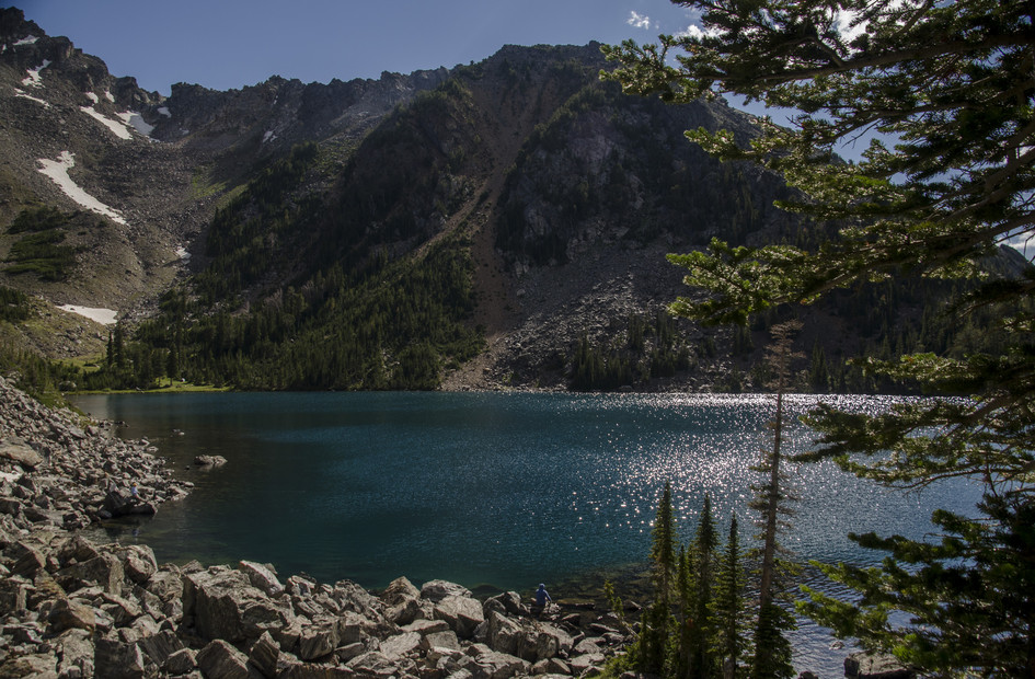
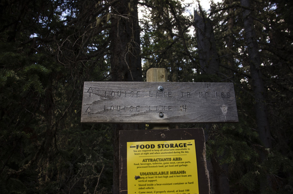
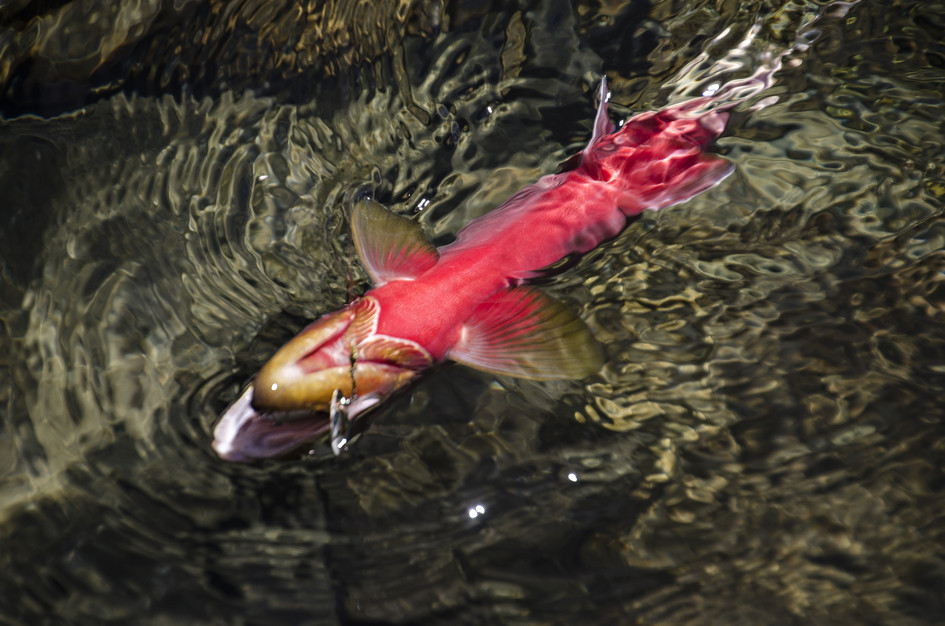
Louise Lake is primarily a fishing trip that happens to involve a good hike. The lake holds large Westslope cutthroat, the water is clear, and 10,353-foot Middle Mountain is visible to the south. For hikers who fish, it is hard to beat the combination.
The Tobacco Roots don't get the foot traffic of the Gallatins or Bridgers, which means the trail stays quiet even on summer weekends. The rough road to the trailhead does its part to discourage casual visitors, and the result is a lake that feels remote for being less than 2 hours from Bozeman. Bring your Montana fishing license, a snack for the lake, and plan on spending time at the water.
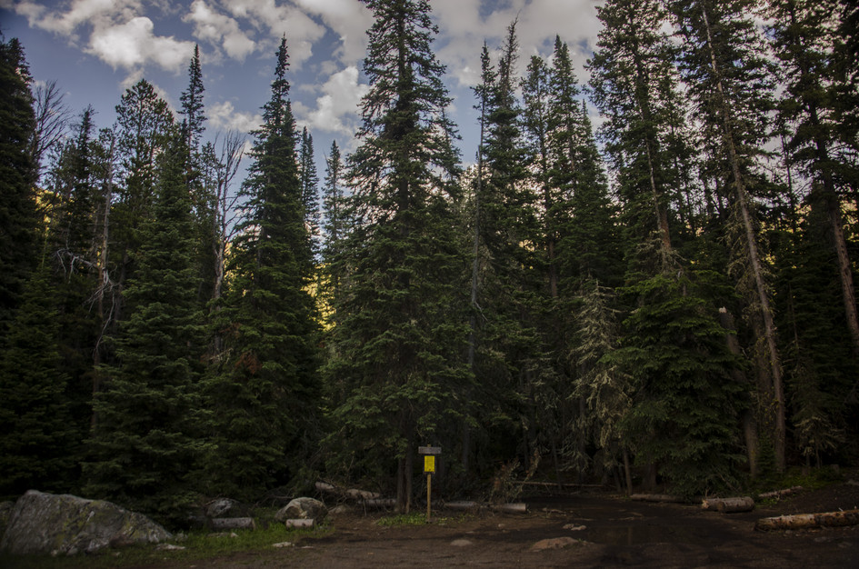
There are a couple of trails that start from this small parking lot, so spaces might be scarce.
There's an outhouse and a vault toilet past Mammoth along the dirt road leading up to the trailhead.
An easy, scenic hike with great fishing usually means heavy foot traffic, but this is not the case for Louise Lake trail. The distance from popular tourist destinations and the extremely rough road keeps the traffic down to an enjoyable level.
The last two miles of road leading up to the trailhead are best traveled by a high-clearance vehicle. If you only have a car you might consider parking down the road and walking the last two miles up to the trail.
Verizon picks up a few bars at the Lake, but you will not have service for the majority of the hike/drive.
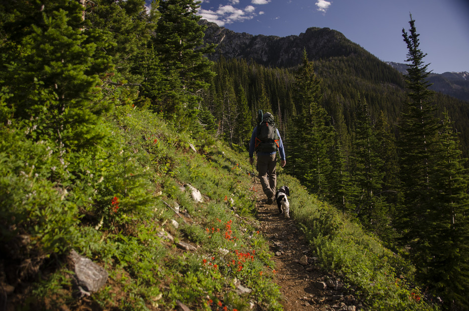
Frequent water and shade make this a great hike for most dogs.
74 Miles from Bozeman, MT. 94 Minutes
From Bozeman head west on I-90. Follow I-90 W for about 50 miles to MT-2 E/MT-359 in Cardwell. Take Montana Highway 359 south for approximately five miles to South Boulder Road. Travel south for approximately 15 miles to the trailhead at Bismark Reservoir.
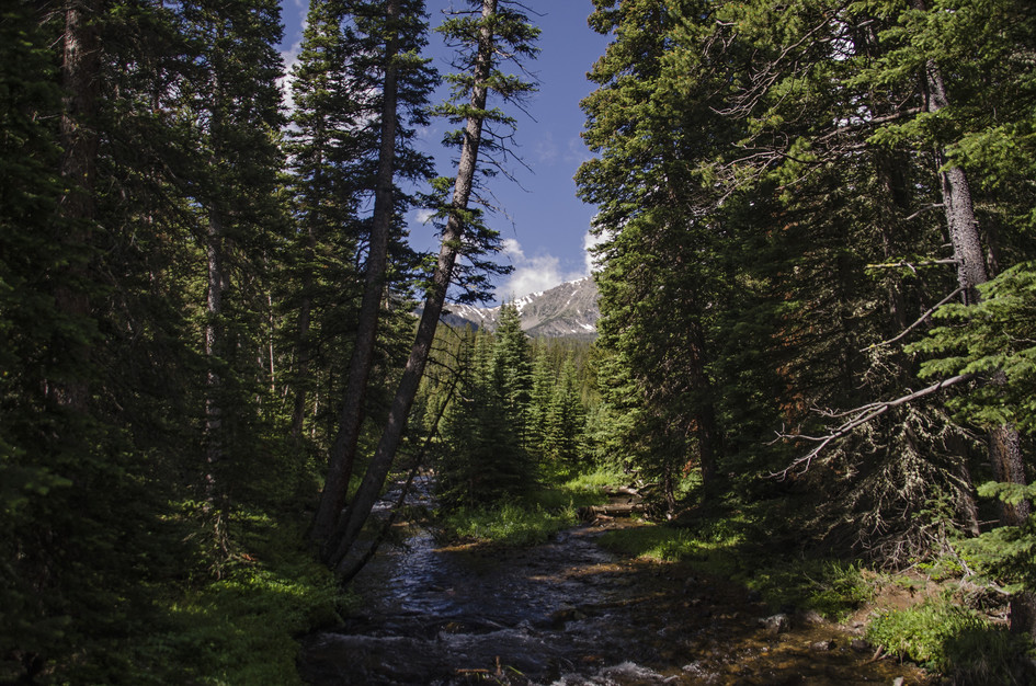
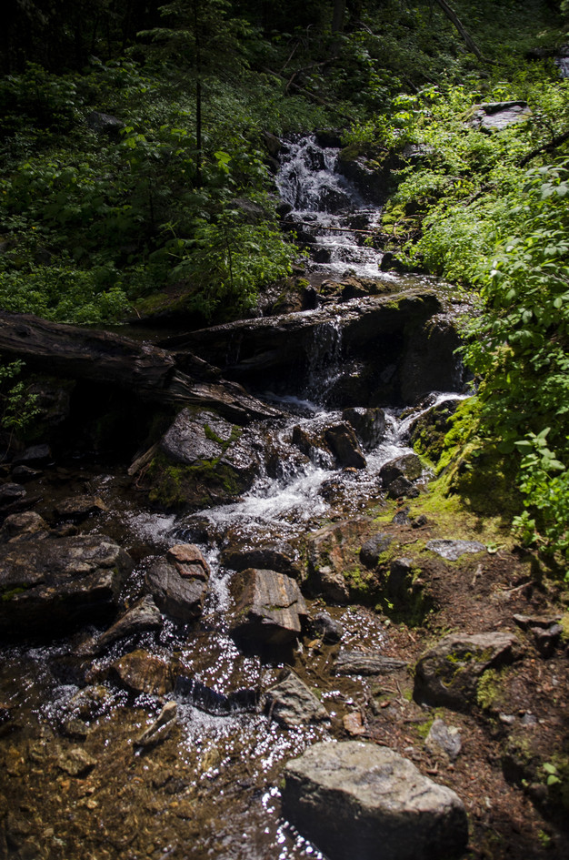
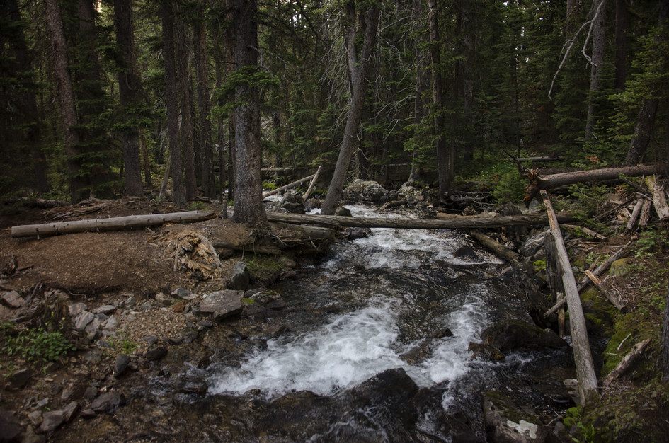
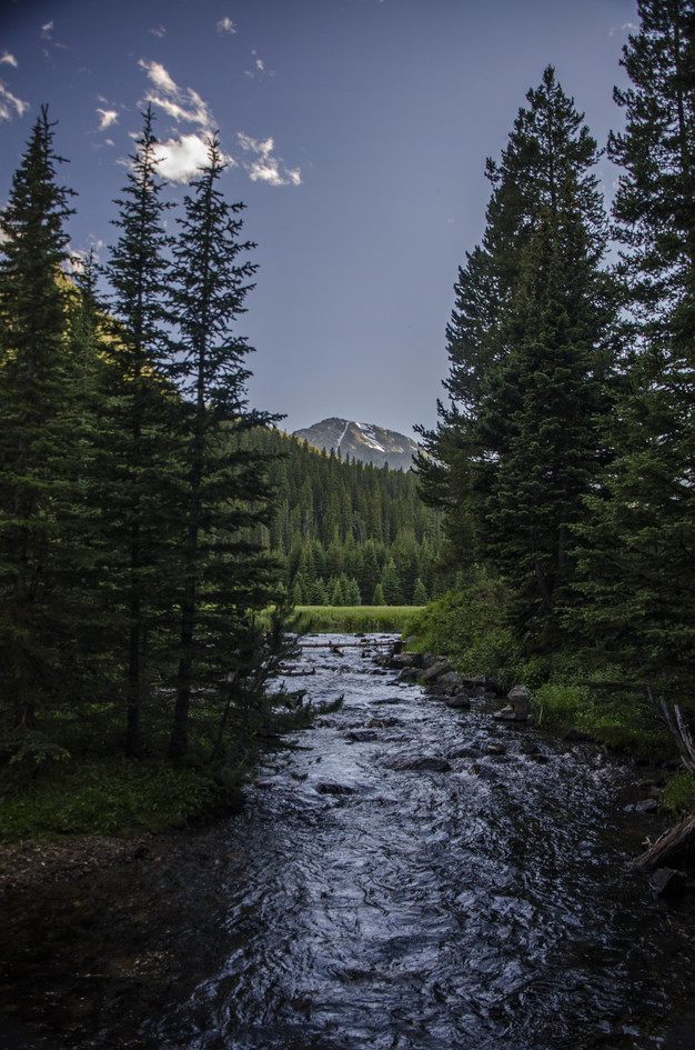
This trail intersects a creek several times throughout the hike and ends at a lake.
64 oz consumed per person
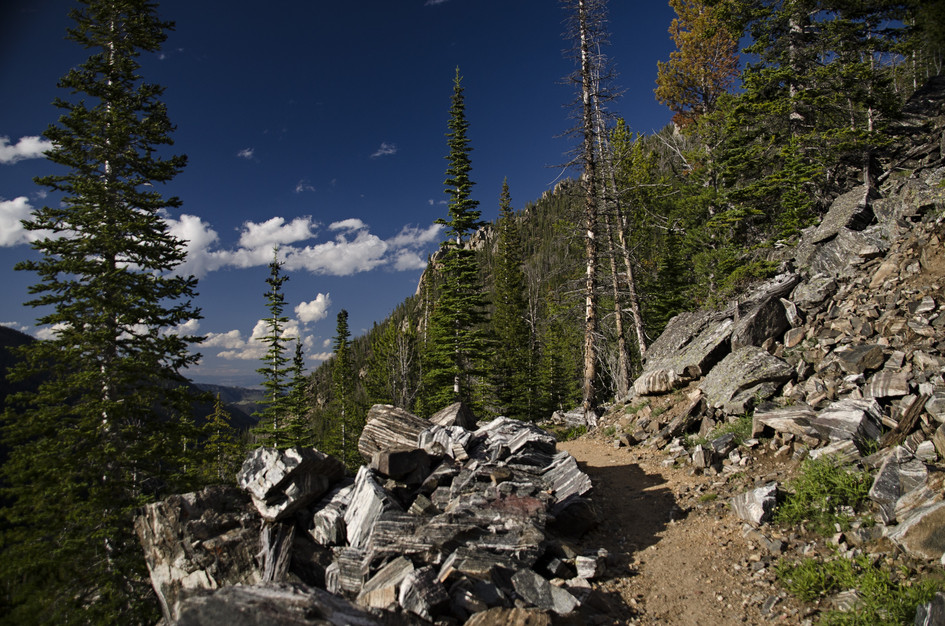
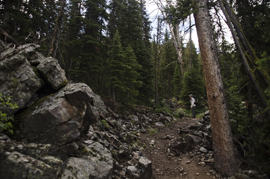
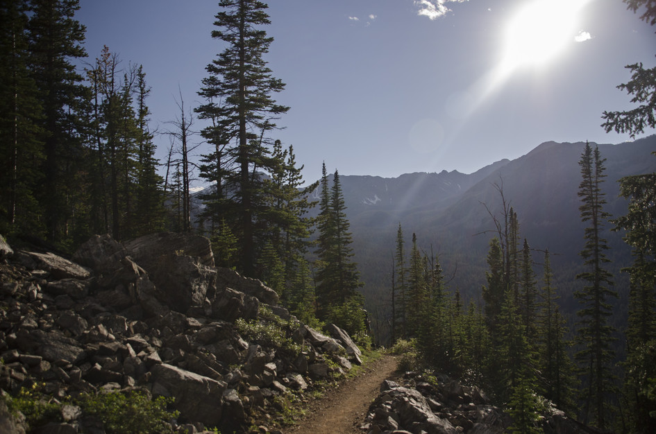
The wide dirt trail is well beaten and easy to find.
There is a nice mix of shade and sun on this trail. Shorts and a t-shirt would be fine in the warmer months because you won't be trekking through any tall grass on the trail. Consider bringing a swimsuit and towel just in case you feel like going for an icy dip in the lake.
Footwear: Tennis shoes are OK on this hike
This is a short hike and food is not required, but you might consider bringing a small lunch or snack to eat up at the lake.
In the thicker parts of the trees and near the lake you may experience a light amount of mosquitoes and flies.
A nice mix of shade and sun.
Along the road south of Mammoth there are quite a few car camping spots. Additionally, up at the lake there are some well-used tent spots if you're interested in backpacking.
None.
Beartooth Publishing's map of the Tobacco Root Mountains covers this hike and part of the drive.
Late June through September. The Tobacco Roots get snow and the last 2 miles of road to the trailhead require high-clearance, which is harder to navigate in wet conditions. The fishing is good across the summer once the lake opens up.
July through August: trail clear, lake fishing active for Westslope cutthroat, mild temperatures in the basin, no snow on the approach.
Late June and September: June has possible snow at the trailhead elevation, September is cool and quiet with good fishing into the shoulder season.
Before mid-June: snow can block the upper trail and the rough access road is more difficult in wet spring conditions.
For the last 2 miles of road to the trailhead, yes. The road becomes rough and rutted. If you have a standard car, park where the road gets difficult and walk the extra distance in. It is about 2 additional miles each way.
Louise Lake is in the Tobacco Root Mountains near Cardwell, southwest of Bozeman. The hike starts at Bismark Reservoir after a long drive on South Boulder Road.
Very good for Westslope cutthroat. The lake is known for holding large fish in clear water. Bring your Montana fishing license and a lightweight rod. Evening fishing near the inlet is most productive.
No bathroom at the trailhead itself. There are an outhouse and a vault toilet along the road before Mammoth, on the way in.
Yes. The water is cold, clear, and deep enough to swim. Bring a towel. Warmer afternoons in July and August are the best time.
The hike is 7.2 miles round trip with 1,305 feet of elevation gain. Most hikers should plan on several hours round trip, with extra time at the lake for fishing, lunch, or a quick swim.
Yes, the trail is described as family-friendly with gradual switchbacks and a well-beaten path. The 7.2-mile distance is the main consideration for younger hikers. The rough access road is the bigger logistical hurdle.
Plug 7.2 miles and 1,305 feet of elevation gain into our free hiking time calculator for a personalized estimate.