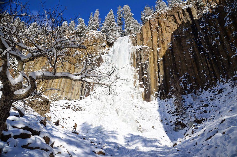
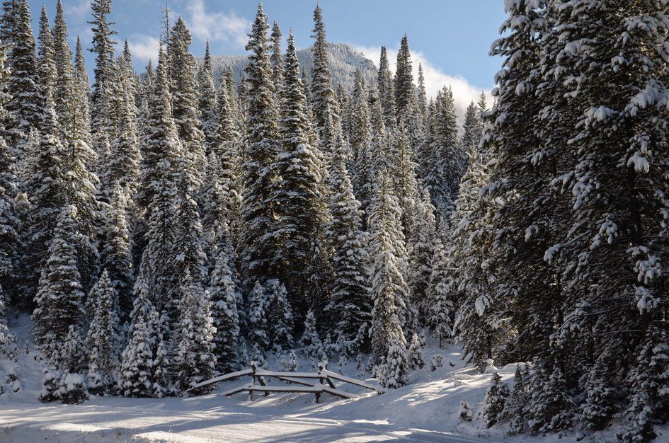
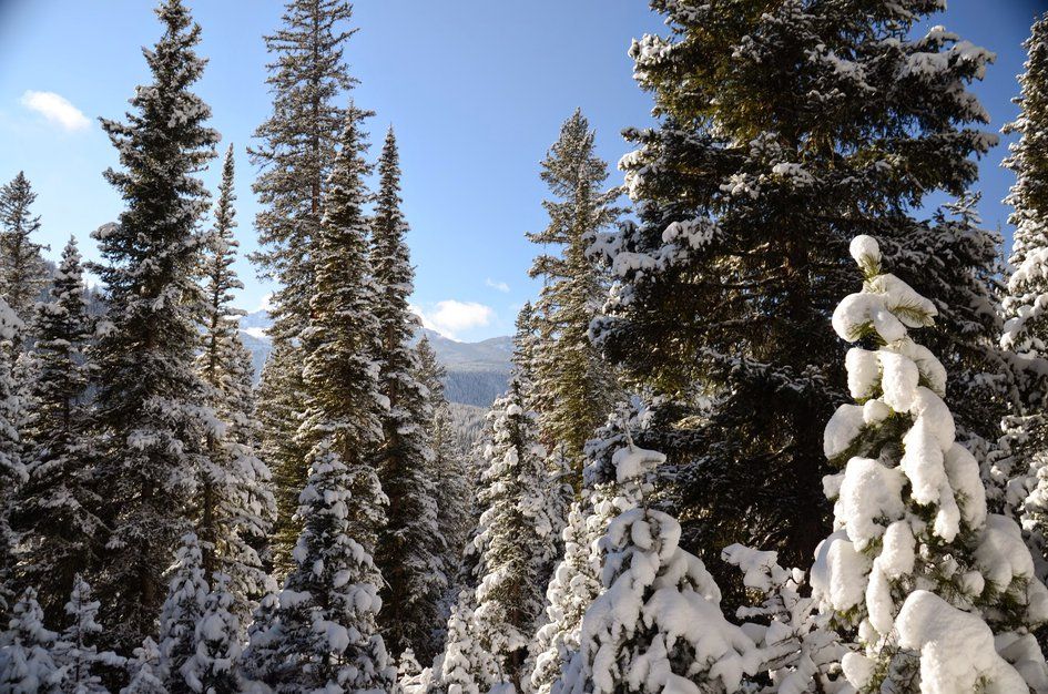
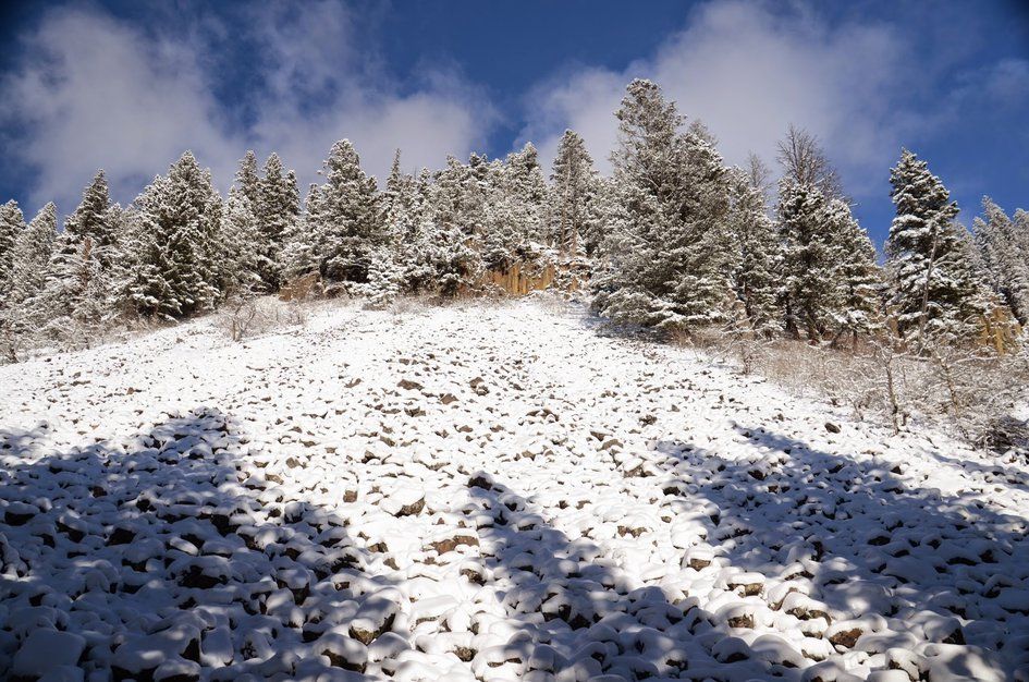
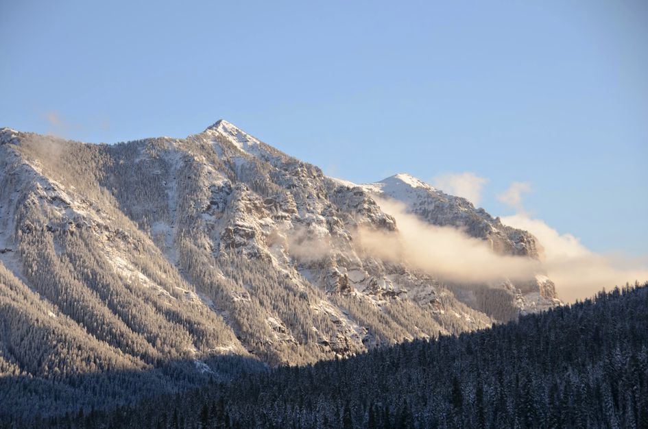
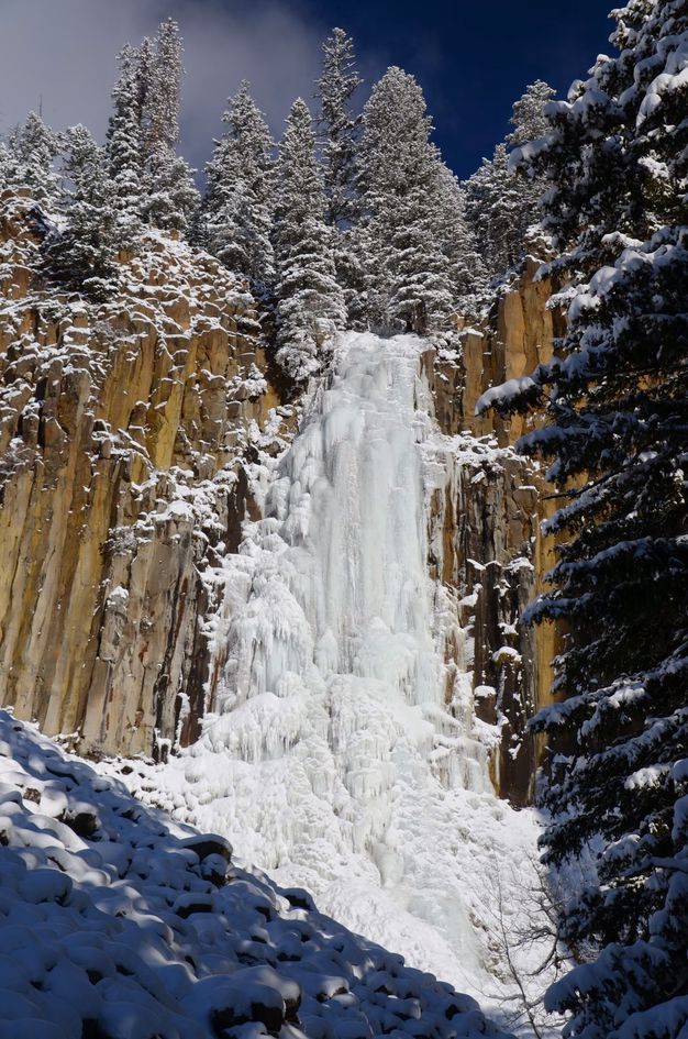
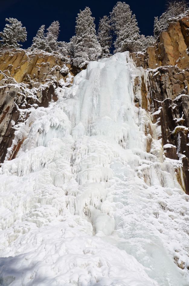
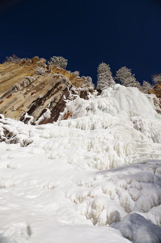
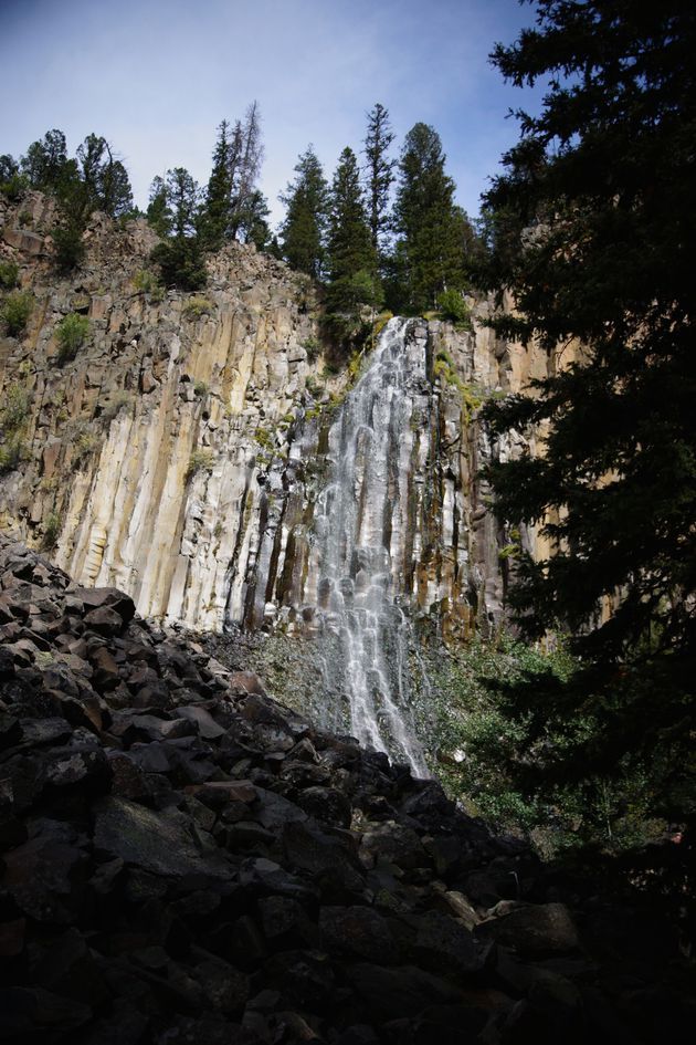
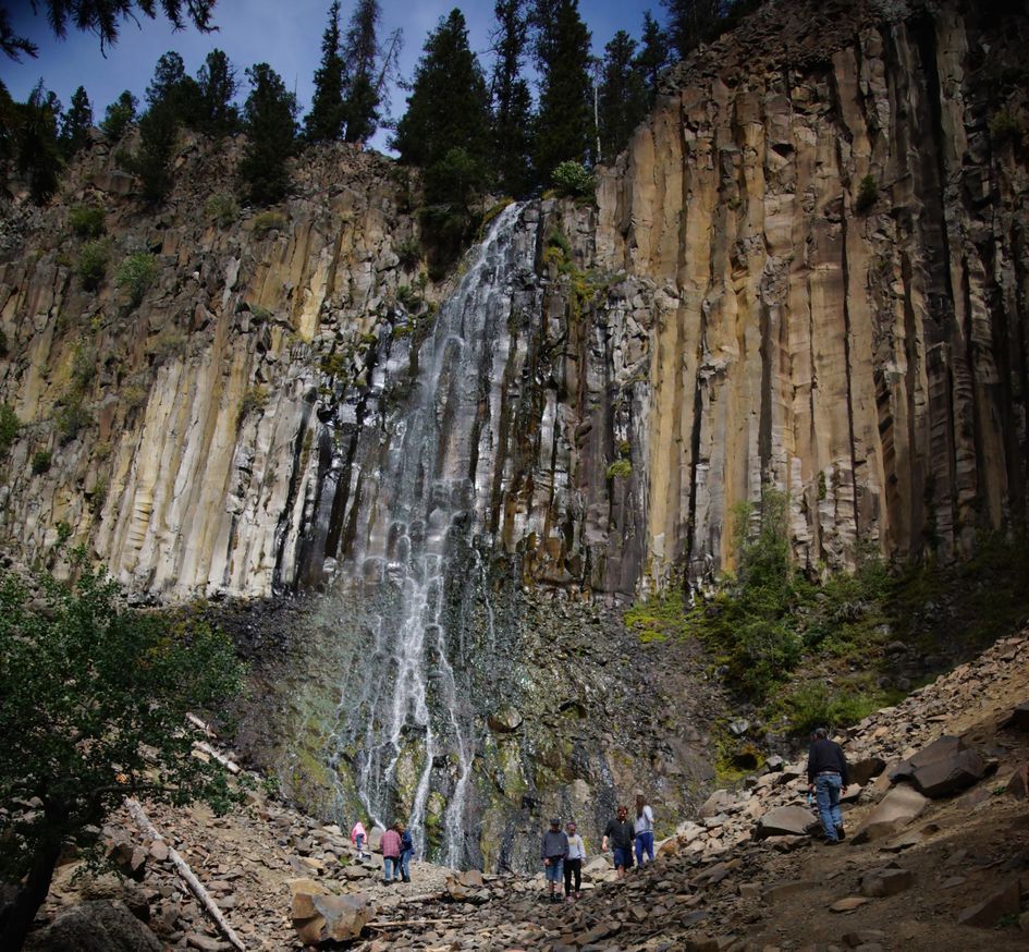
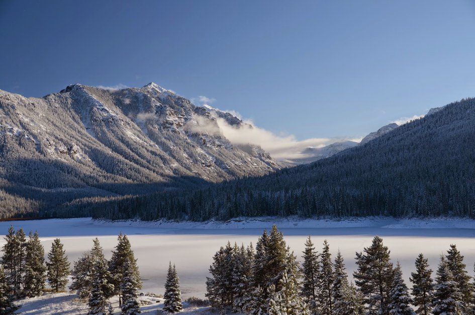
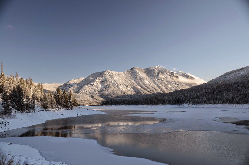

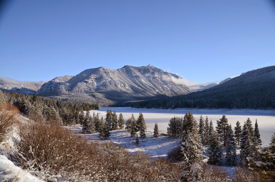
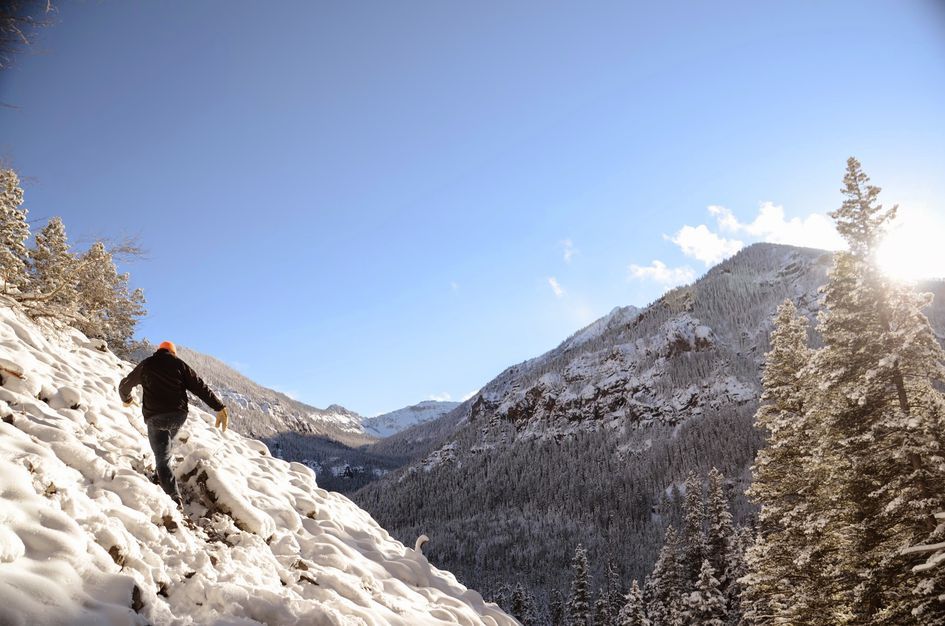
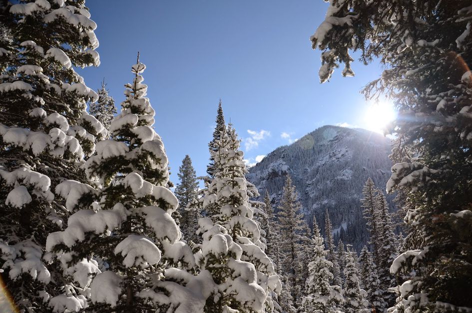
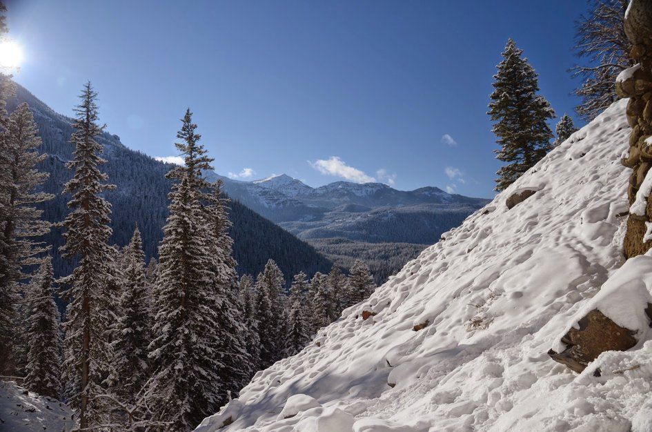
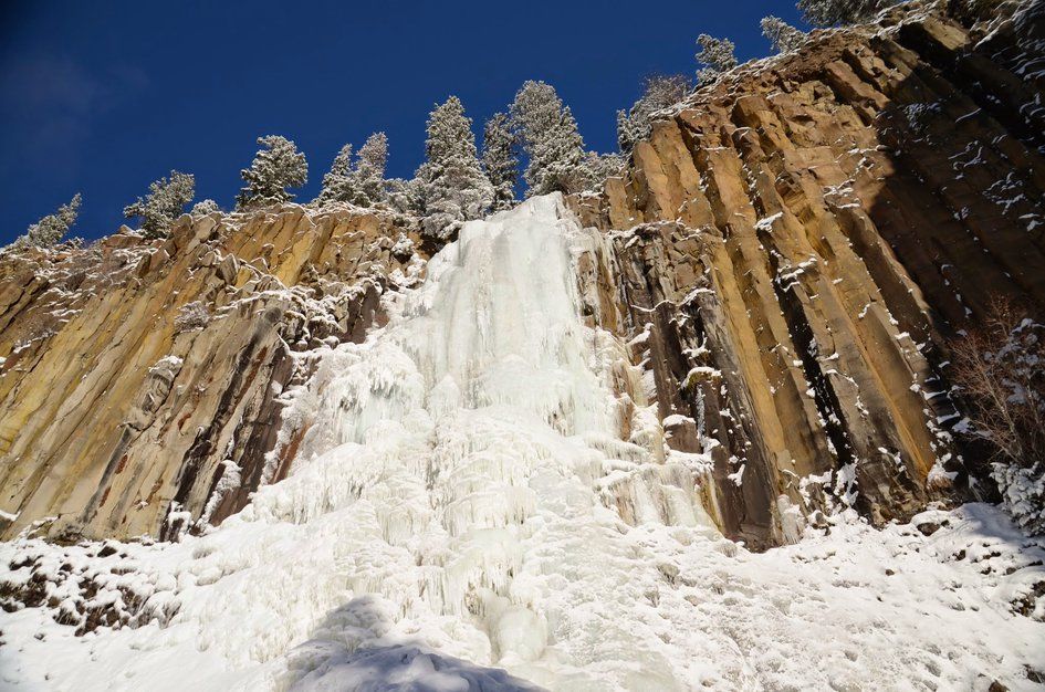


Palisade Falls is located near the Hyalite Reservoir just south of Bozeman. The short, paved, half-mile hike to the falls begins at the East Fork of Hyalite Creek. You will follow the forested trail up to the stunning 80-foot waterfall that is the result of prehistoric lava flow.
The trail is wheelchair accessible with picnic tables at the trailhead.
From Bozeman, drive south on 19th Street for about 5 miles. Follow the curve to the right and drive for another mile or so, following the signs to take a left onto Hyalite Canyon Road.
Follow Hyalite Canyon Road up to the reservoir. Take it across the dam and keep right onto the gravel. Continue on the road along the east side of the reservoir until you see some signage for the Palisade Falls Trailhead. Take the left onto Forest Service Road 3163.
Follow this road for another mile or so, following signs for Palisade Falls Picnic Area and trailhead—you can't miss it.
Be Advised: Hyalite Canyon Road is closed annually between April 1st and May 15th. You will not be able to reach this hike by car during this time.
This is a short hike with barely over 300 feet of elevation gain. The trail is paved all the way to the falls and is wheelchair accessible. Great hike for all ages and abilities.
With the small amount of elevation gain and short distance you can reach the falls in about 15 minutes. With a 20 minute break at the top to snap some pictures and climb around the waterfall, you can be back at the car in an hour.
This route starts at 6881 feet above sea level and ends at 7200 feet.
TripAdvisor has ranked Palisade Falls number 5 out of the top 46 things to do in the Bozeman Area, so it is definitely worth experiencing at least once. That being said, it's almost guaranteed to be crowded and that can distract from the beauty of the falls.
There is a waterfall and a creek at the end of this hike, but there will not be a need to purify water because of the short distance. It's always a good idea to have a bottle of water especially if you're not used to the higher altitude, but if you forget it in the car you will be just fine.
This is a short hike and food is not necessary. If you do want to bring a lunch, there is a picnic area near the trailhead.
The trail is wide and paved all the way to the falls.
Expect snow into mid-May and again in late October. The falls are accessible in the winter, but be prepared for an icy trail as it gets walked on and packed down.
If your dog does well around small children and other dogs, he/she will enjoy the partially shaded, short hike to the falls.
The road up to the Hyalite Reservoir is paved and easy to drive in the warmer months. The last few miles of the drive are on a narrow gravel road that can get a little rough at times, but is passable with a car.
Be Advised: Hyalite Canyon Road is closed annually between April 1st and May 15th. You will not be able to reach this hike by car during this time.
Beartooth Publishing's Bozeman Area Map covers this whole hike.
There is a large parking lot at the trailhead. Even during high traffic times you should be able to find a spot.
The bathroom is right next to the trailhead—you can't miss it.
Palisade Falls is the most popular hike around the reservoir, so be prepared to see a steady flow of people on your way up to the falls and on your way back.
Because the hike is so short and there is only a small elevation gain, you don't need to be prepared for changing conditions. It may not be ideal, but you could complete this hike in jeans and flip-flops and be just fine.
Footwear: Tennis Shoes OK
In the warmer months you may encounter some flies near the trailhead and mosquitoes later in the evening.
The trail leading up to and around the falls is partially shaded.
You won't have any phone service on this hike.
There are no backpacking opportunities on this hike, but you can stay the night at Chisholm Campground or Hood Creek Campground near the reservoir.
There are many trails around the reservoir that are near Palisade Falls, but there are no direct connections.