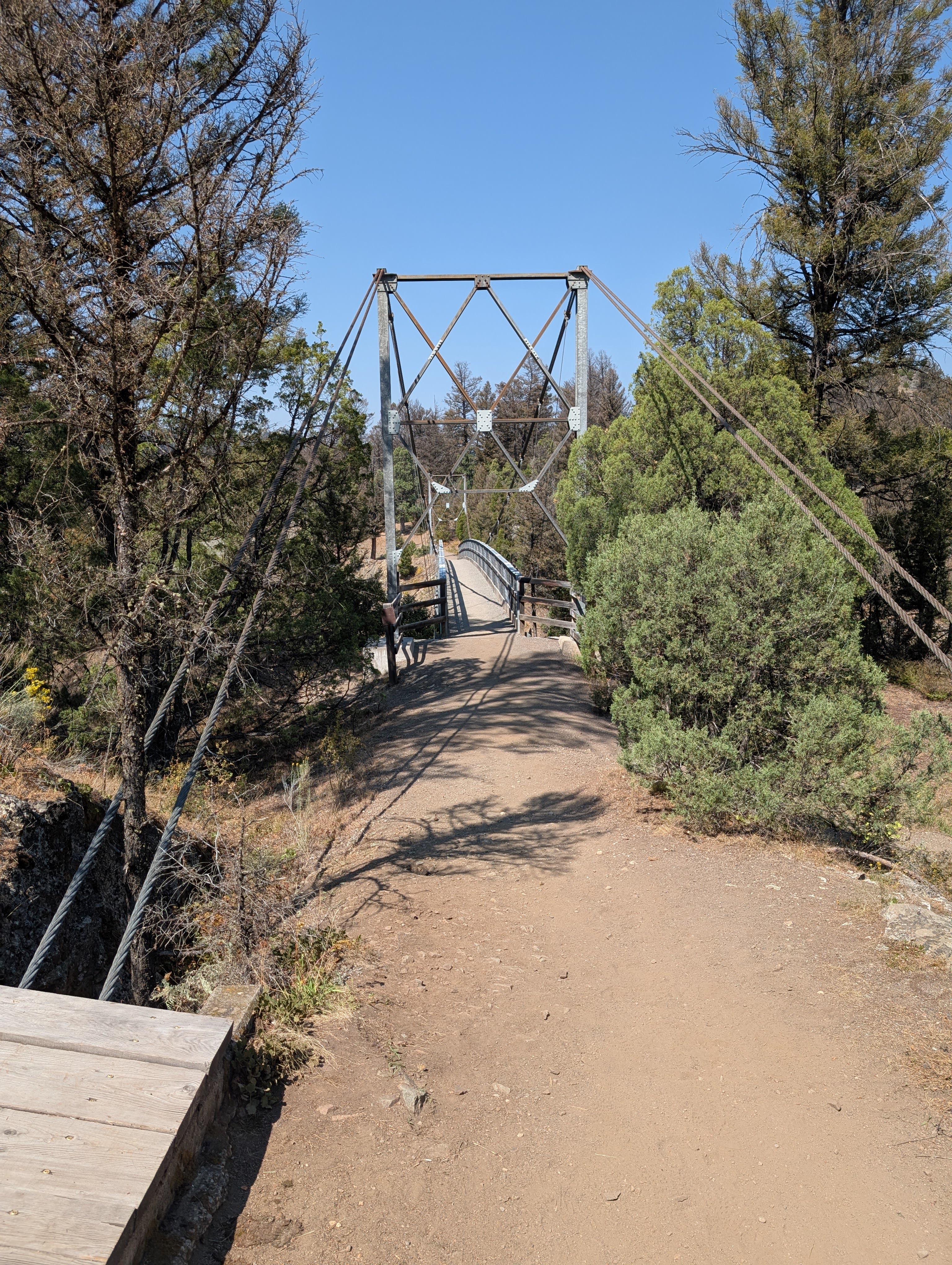
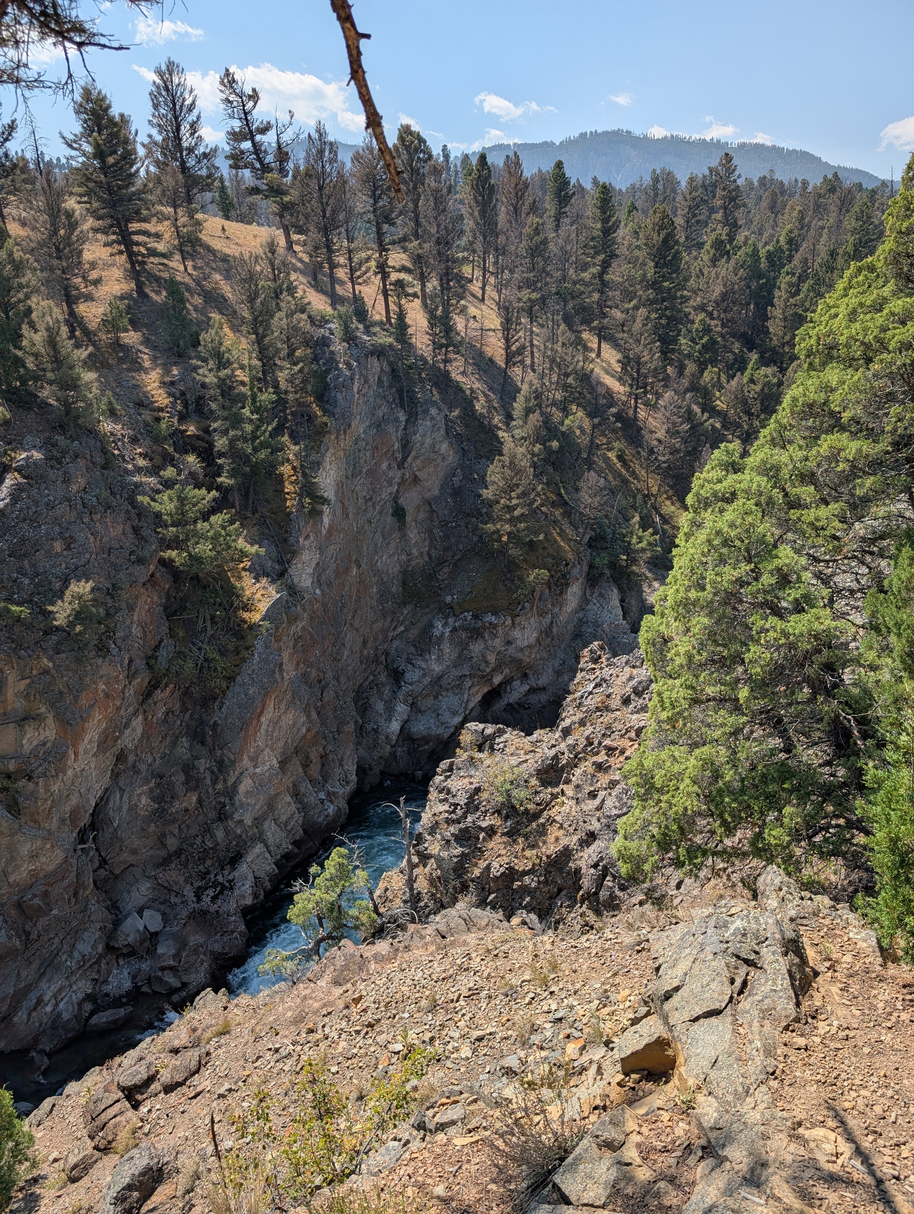
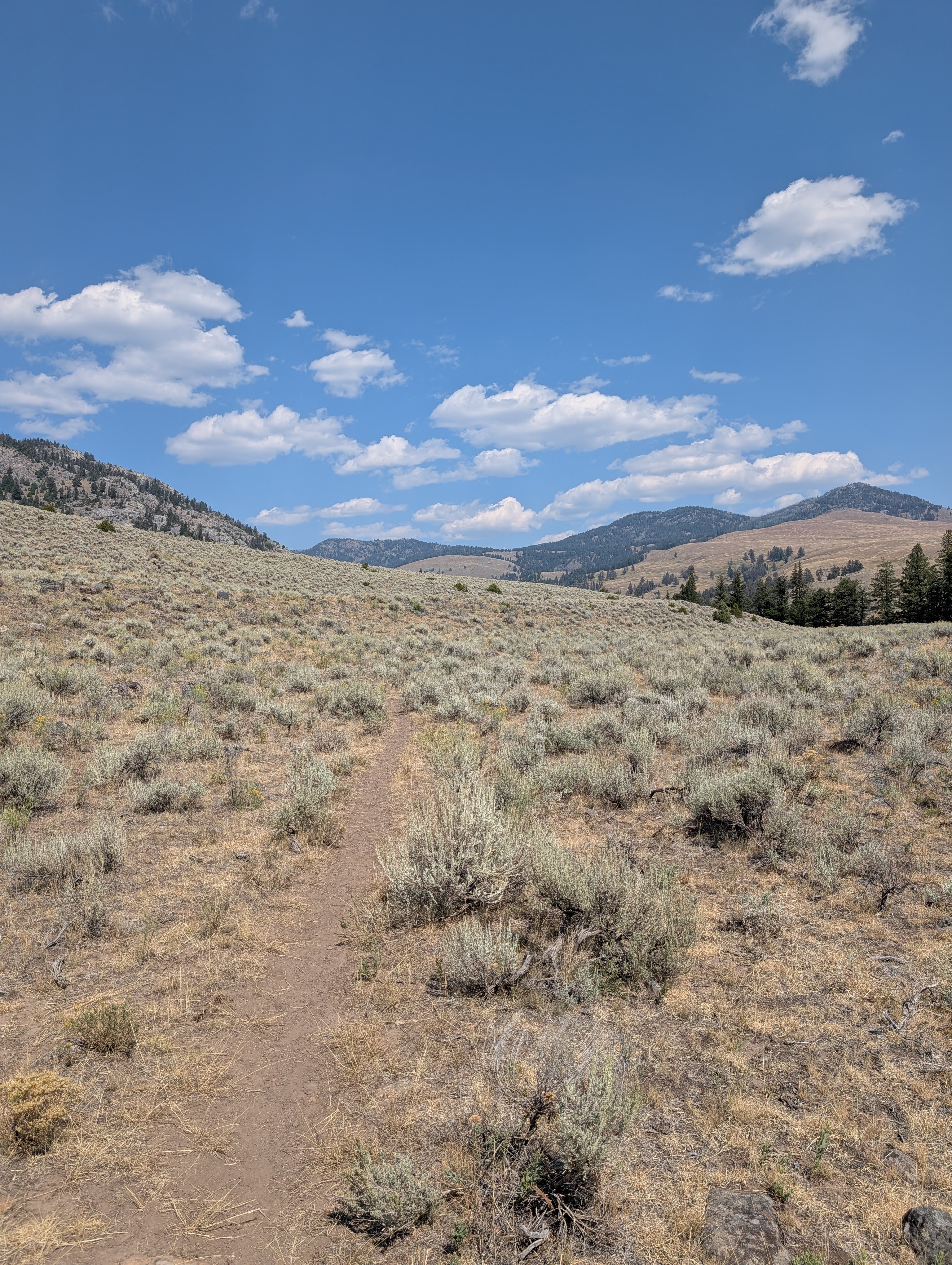
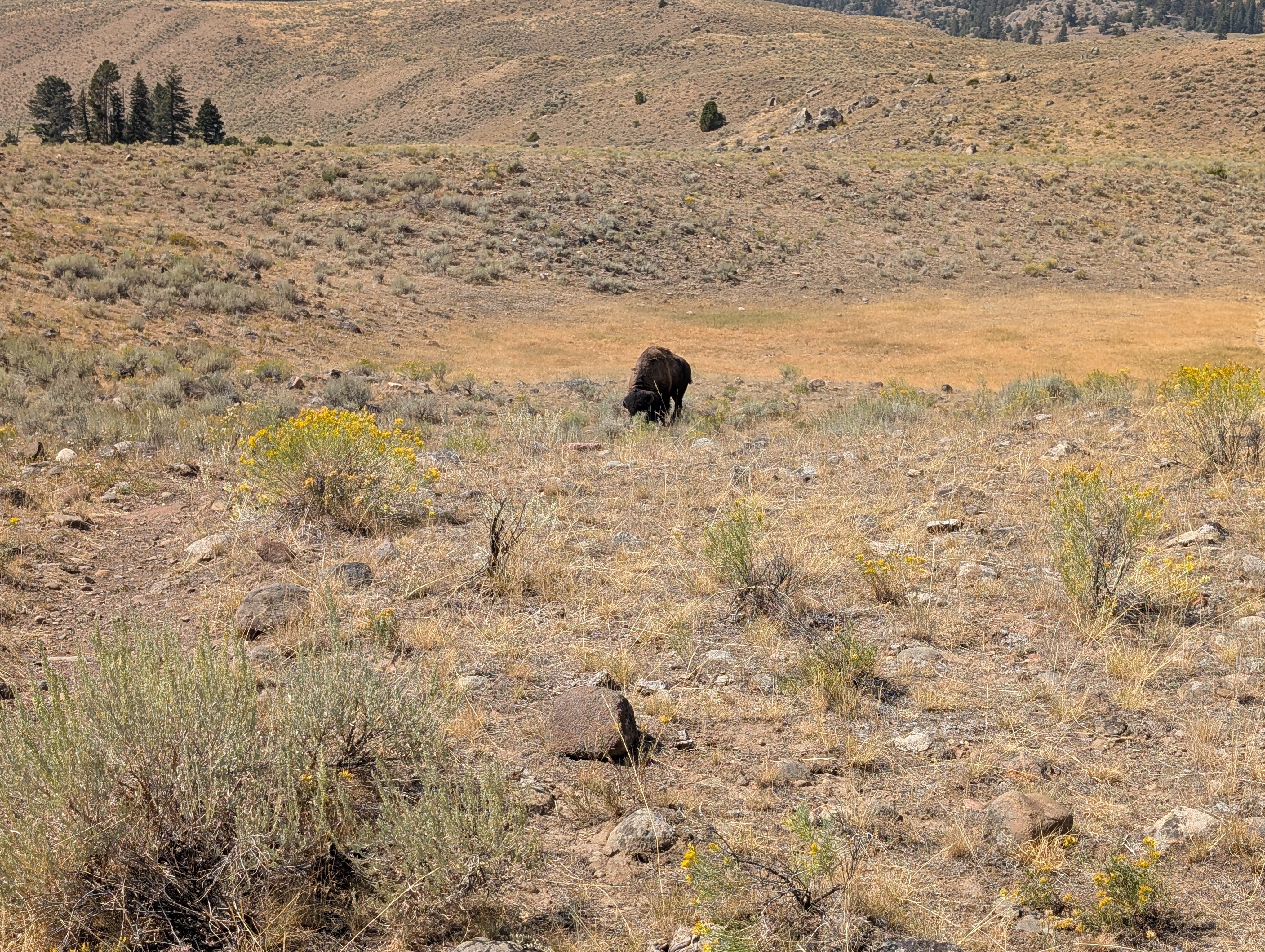
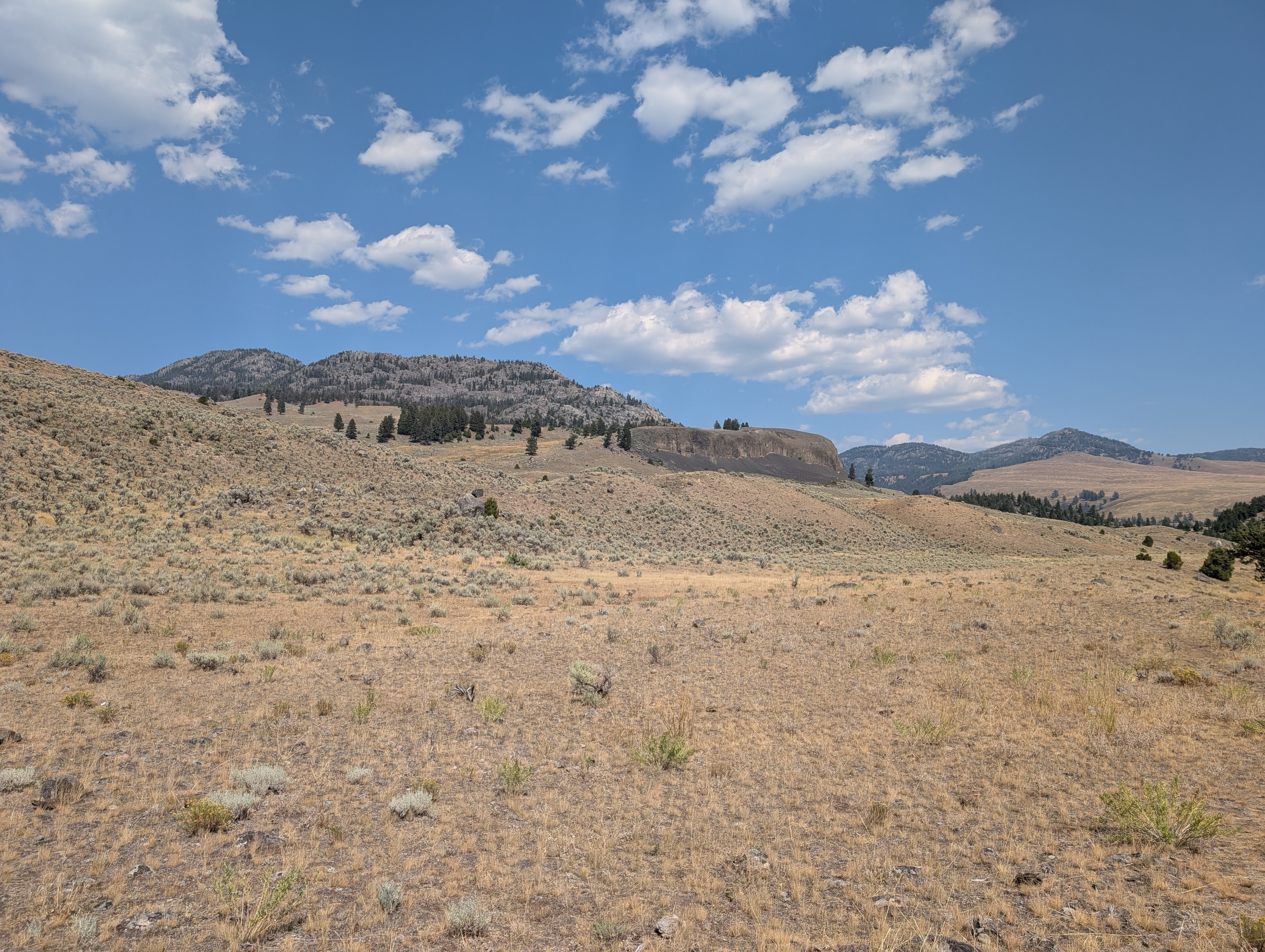
This route gets you into two very different parts of Yellowstone in a few miles. First comes the suspension bridge and the rocky Yellowstone River canyon below it. Then the canyon falls away and you are out in broad sagebrush country, with the wind and the weather right there with you.
It is a good approach if 2H1 is the destination. Just keep the profile in mind: the way in is downhill, and the climb waits until you are headed back to the car.
The NPS describes a parking area at the end of the short dirt access road. Check the current access situation before the drive in.
The NPS trail page identifies the parking area but does not list a restroom. Plan for facilities before reaching the trailhead.
The suspension bridge draws people, but the route beyond it heads into Yellowstone backcountry. How busy it feels will depend on season, weather, and current trail status.
The NPS describes a short dirt road to the parking area about 3.5 miles west of Tower Junction. Check current park access before heading down it.
Do not count on cell service for navigation or a change of plans. Download the map, tell someone where you are going, and bring the communication plan your group needs.
Pets are not allowed on Yellowstone hiking trails or in the backcountry. Review the NPS pet restrictions before traveling with an animal.
Near Tower Junction, Yellowstone National Park
The NPS places the Hellroaring Trailhead at the end of a short dirt road about 3.5 miles west of Tower Junction. From the parking area, the trail drops to the Yellowstone River Suspension Bridge, then climbs out of the canyon and rolls through open sagebrush toward 2H1. Beyond the bridge, watch the junctions and stay on the Hellroaring Trail.
This is a one-way route to camp, so make the return plan before you leave the car. Bring sun protection and the water you need; there is little shade once you leave the canyon. Check the NPS trail page and current park access information before the drive in.
Most of the route is open and exposed. Carry the water you need for the day instead of counting on a convenient source along the way.
On our August 2025 trip, Hellroaring Creek was a good place to stop and hang out, but it was also a real water crossing. Conditions change. Check NPS Backcountry Conditions for the current creek crossing, closures, and route information before you go.
Wear layers for sun, wind, and fast-changing Yellowstone weather. A brimmed hat, sunscreen, and rain layer all earn their place on the exposed sagebrush sections.
Footwear: Broken-in hiking shoes or boots with reliable traction
For an overnight at 2H1, start with the NPS backcountry camping requirements. They cover the permit, food storage, and the rest of the planning that matters before you leave home.
Bugs depend on the season and conditions. Bring bug spray if the season calls for it.
After the bridge, much of the route is open sagebrush with limited shade. Plan your breaks, water, and layers around that.
This route reaches the designated 2H1 backcountry campsite. An overnight needs the right permit and planning. Read the NPS Backcountry Camping guidance and our 2H1 campsite notes before the trip.
You need a permit for a Yellowstone backcountry overnight. Check designated-site planning and availability through the NPS Backcountry Camping page.
The NPS notes that several major backcountry trails meet beyond the suspension bridge. Watch the junctions and stay on the Hellroaring Trail. If fishing is part of the trip, check the NPS fishing page for current permits and rules.
Download the KMZ for the route shown here. Pair it with NPS Hellroaring Trail information and the current Backcountry Conditions.
Summer through early fall is the usual window, but this is Yellowstone. Access, weather, wildlife management, water, and trail conditions all move around. Read the NPS Backcountry Conditions report right before the trip.
Summer through early fall, when the route is generally accessible and permits are in demand.
Expect more variable weather and trail conditions. Check current park information before committing to the trip.
Do not start an overnight without confirming access, current trail conditions, and the required permit.
The route shown here is 4.7 miles one way from the Hellroaring Trailhead to campsite 2H1. That is the backpacking approach, not the NPS's standard Hellroaring day hike.
It is downhill first. The recorded track drops 821 feet and climbs 128 feet on the way to 2H1, so the return to the same trailhead is uphill.
No. On our August 2025 trip, it was a good place to pause and a legitimate water crossing. Check the NPS Backcountry Conditions report for what it is like now.
Yes. Yellowstone requires a backcountry permit for overnight stays. Confirm the designated-site requirements and your itinerary with NPS before the trip.
No. Yellowstone does not allow pets on hiking trails or in the backcountry; service-animal rules are addressed separately by NPS.
Plug 4.7 miles and 128 feet of elevation gain into our free hiking time calculator for a personalized estimate.