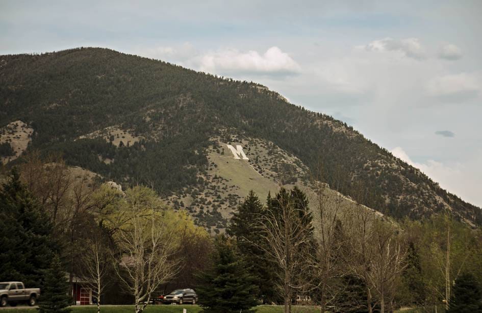
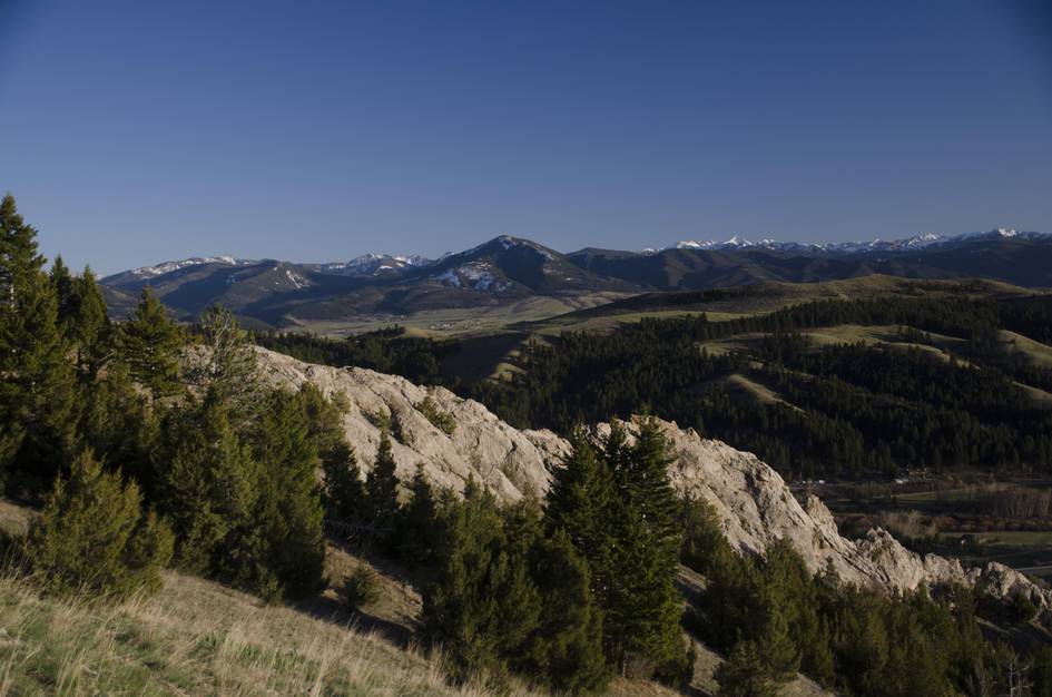
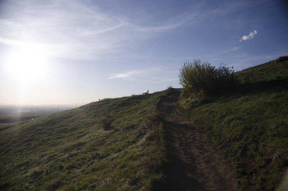
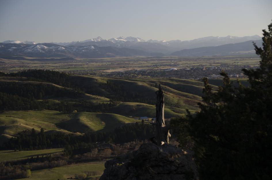
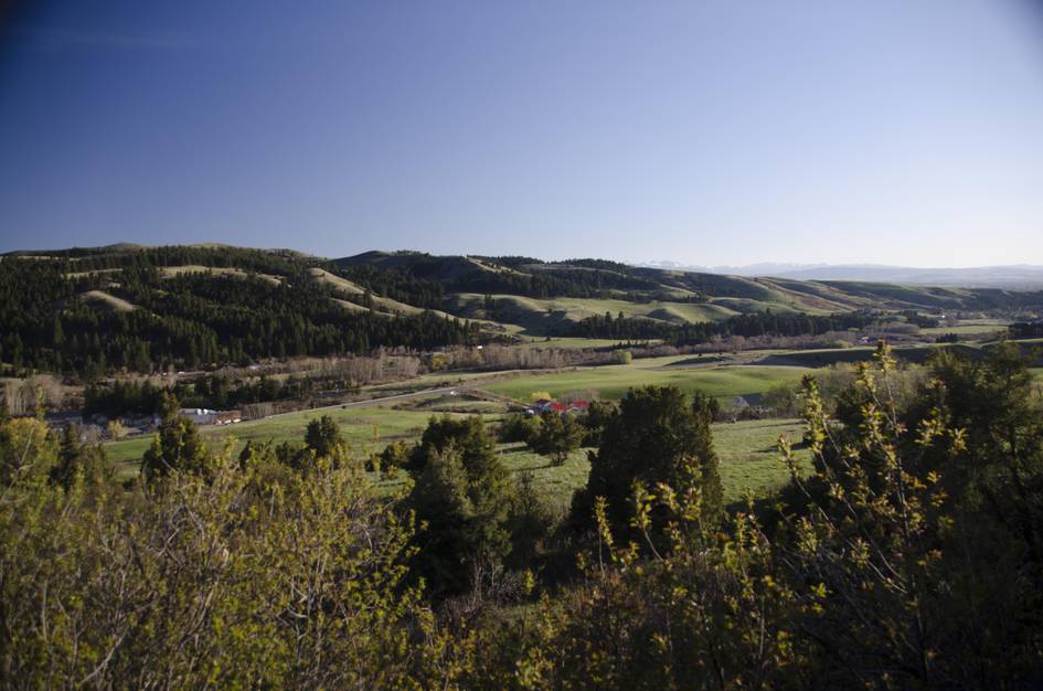
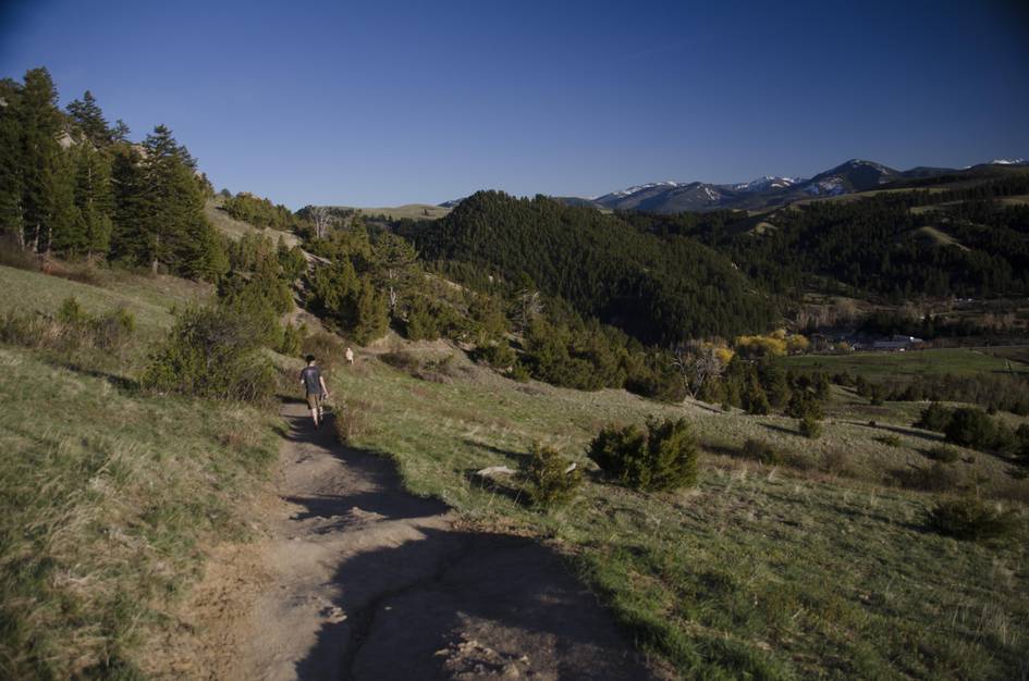
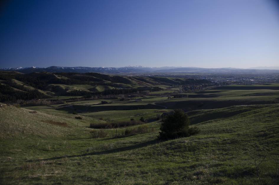
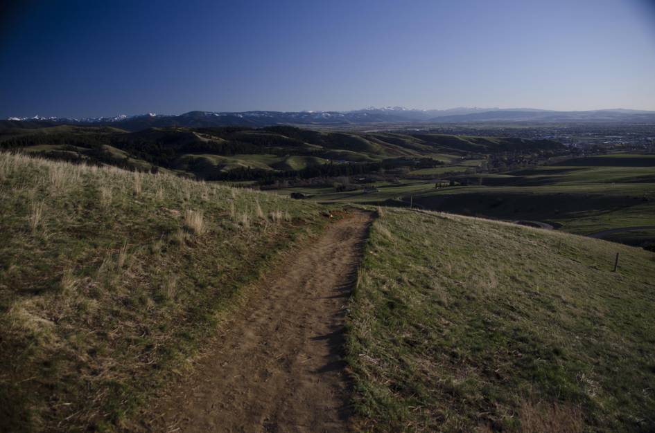
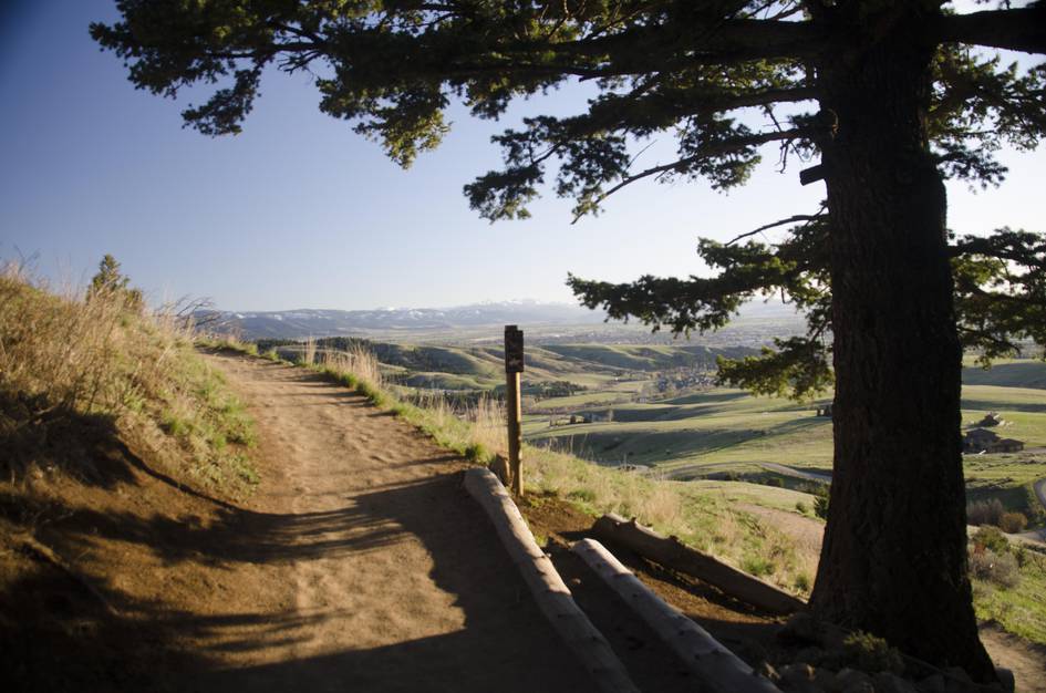
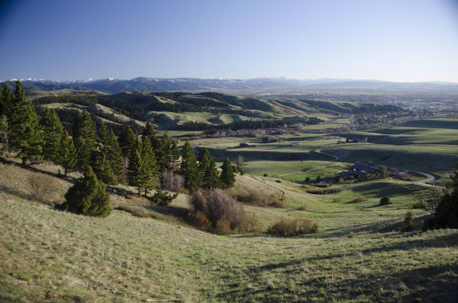
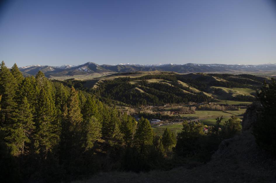
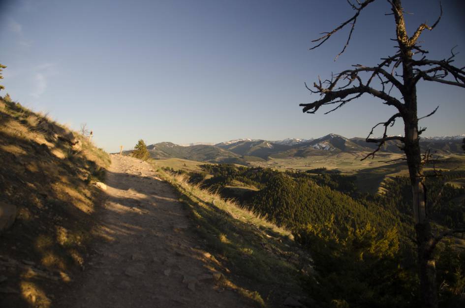
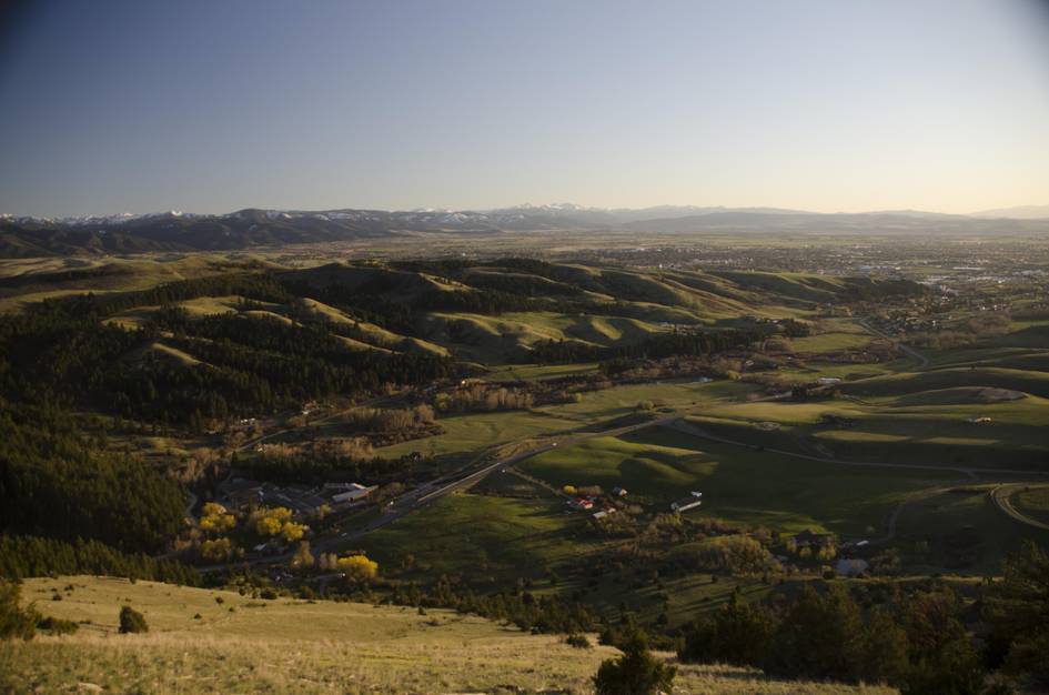
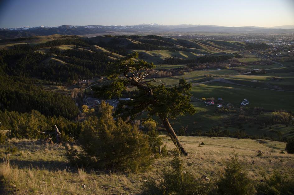
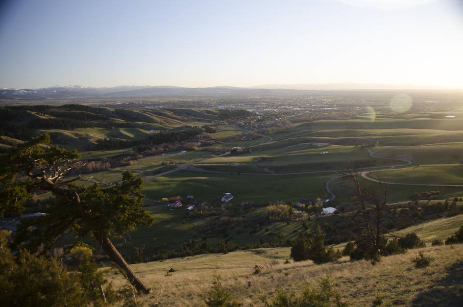
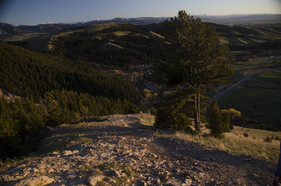
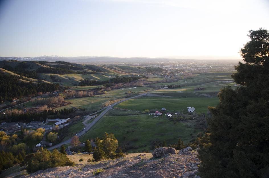
The M is worth doing once because it is the trail every Bozeman local has done, and the view from the top explains the city's geography better than a map does. Gallatin Valley to the south, Bridger Canyon to the north, and Bozeman spread below you with mountains visible in every direction.
After that first time, the M becomes most useful as a speed workout and as the access point to the Bridger Ridge. The trail is steep enough to be a real cardio challenge even though the distance is short. If you want the ridge without the Fairy Lake drive, continuing north from the M toward Baldy gets you there. The parking situation on summer weekends is genuinely difficult. Come early or accept that you may park at Drinking Horse and walk across the road.
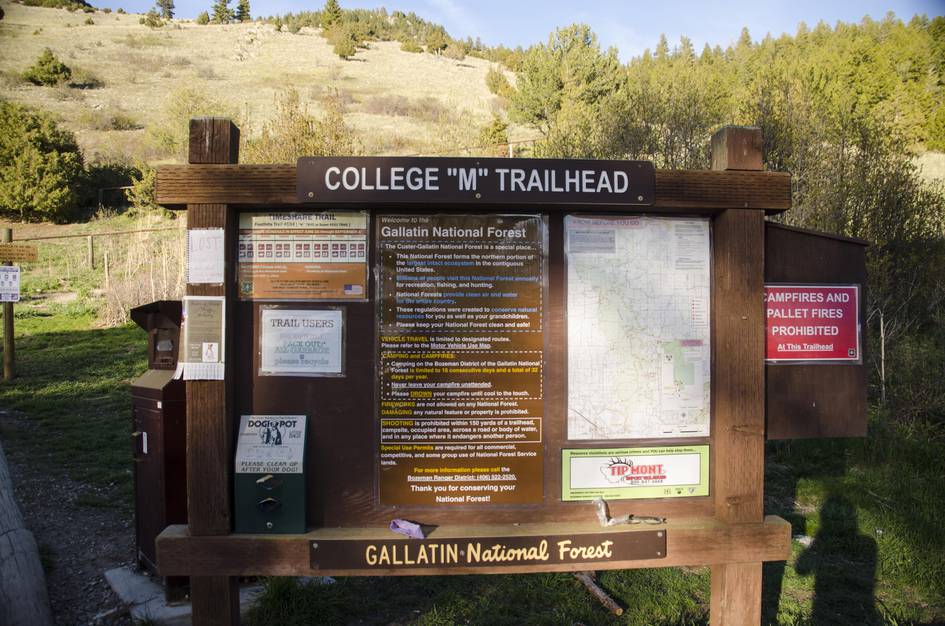
There is a large parking lot at the trailhead, but unless you are there very early or very late in the day, you will probably end up parking on the side of the road or even across the street in the parking lot used for the Drinking Horse Trail.
There is a heavily used vault toilet on the east side of the parking lot.
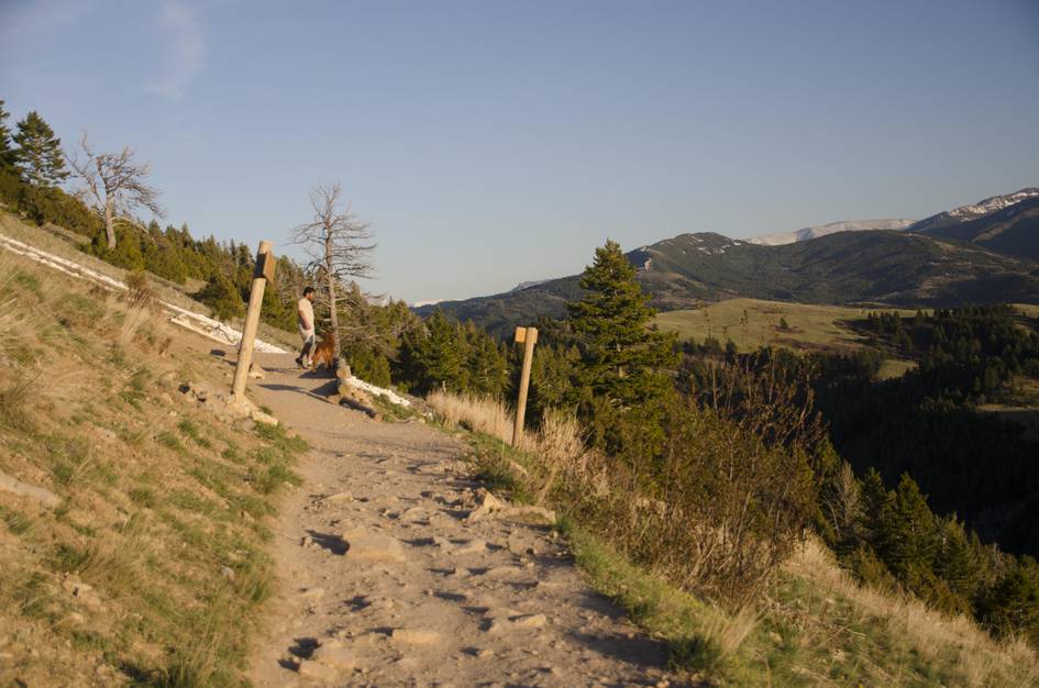
This trail is not only heavily used by tourists, but it's the locals' unofficial open-air gym. Expect a steady flow of traffic on your way up and down.
Well-maintained paved road leading all the way to the trailhead parking lot.
AT&T and Verizon networks should get reception on this hike.
There is little to no shade and only one tiny spring-fed watering hole for your furry friend to grab a drink on this hike. But, if your dog is in good health and enjoys the company of other people and lots of other dogs, he/she will enjoy this short trail.
5.1 Miles from Bozeman, MT. 13 Minutes
Take Rouse Avenue north which will eventually turn into Bridger Canyon Road. Once you cross under the freeway, drive for three miles then turn left into the signed trailhead parking lot on the left.
This hike can be hot and dry, so everyone should have at least one bottle of water per person.
16 oz consumed per person
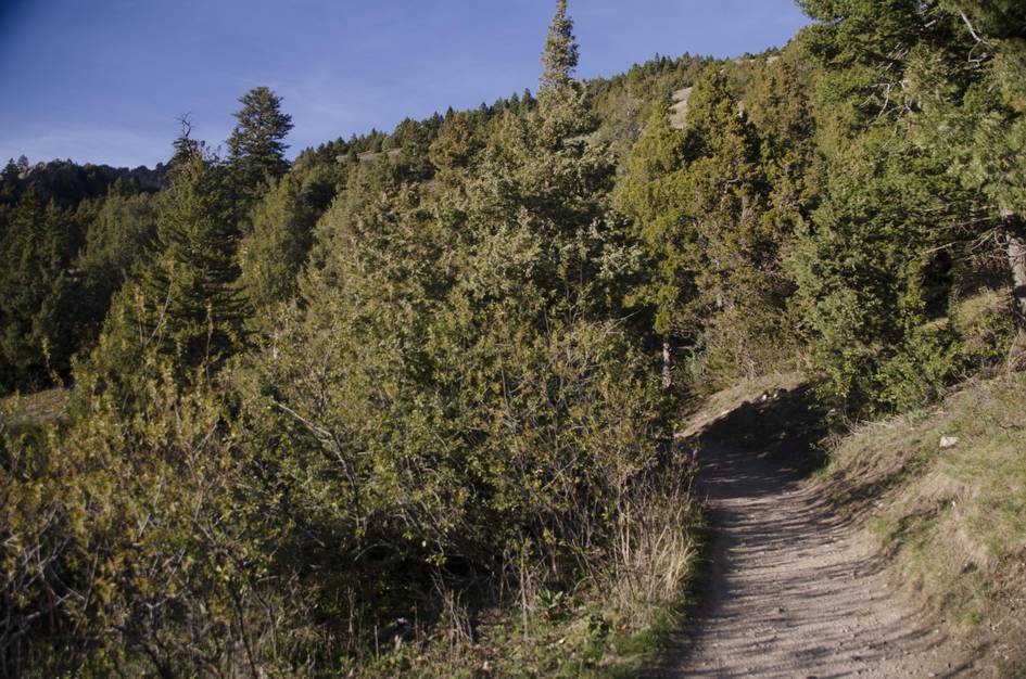
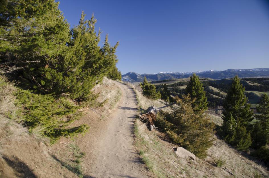
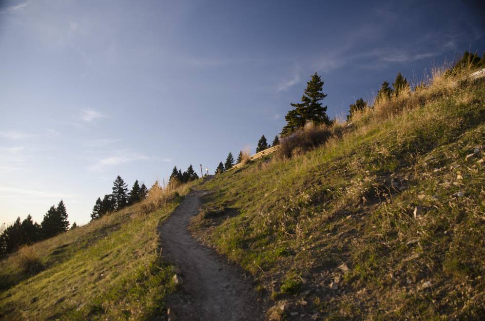
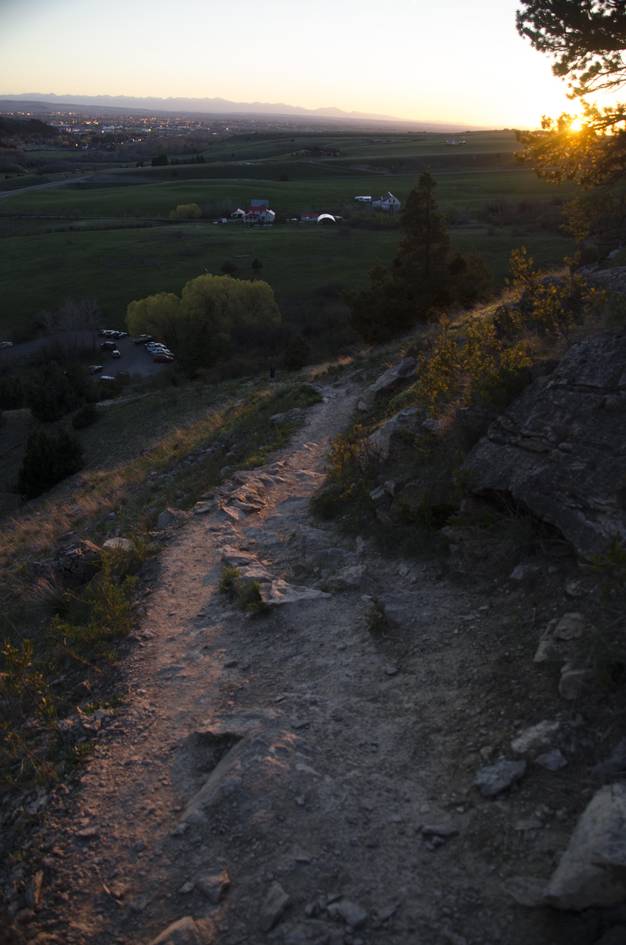
The trail is well-groomed, mostly dirt with small rocks. Unfortunately, there can be dog poo on the trail, so watch your step.
Because the hike is pretty short and there is only a moderate elevation gain, you don't need to be prepared for changing conditions at the top. You will see lots of jeans and tennis shoes worn on the trail. Don't forget a cap or sunglasses to protect your eyes.
Footwear: Tennis Shoes are OK for this one
This is a short hike and food is not necessary.
In the warmer months you may encounter some flies and a very small amount of mosquitoes later in the evening.
There is very little tree cover on this hike. You're exposed to the sun and wind, plan accordingly.
Lack of trees, water and constant foot traffic make this a less than desirable camping spot.
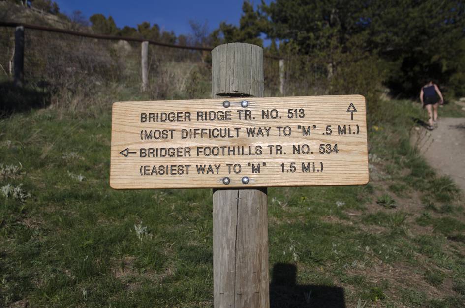
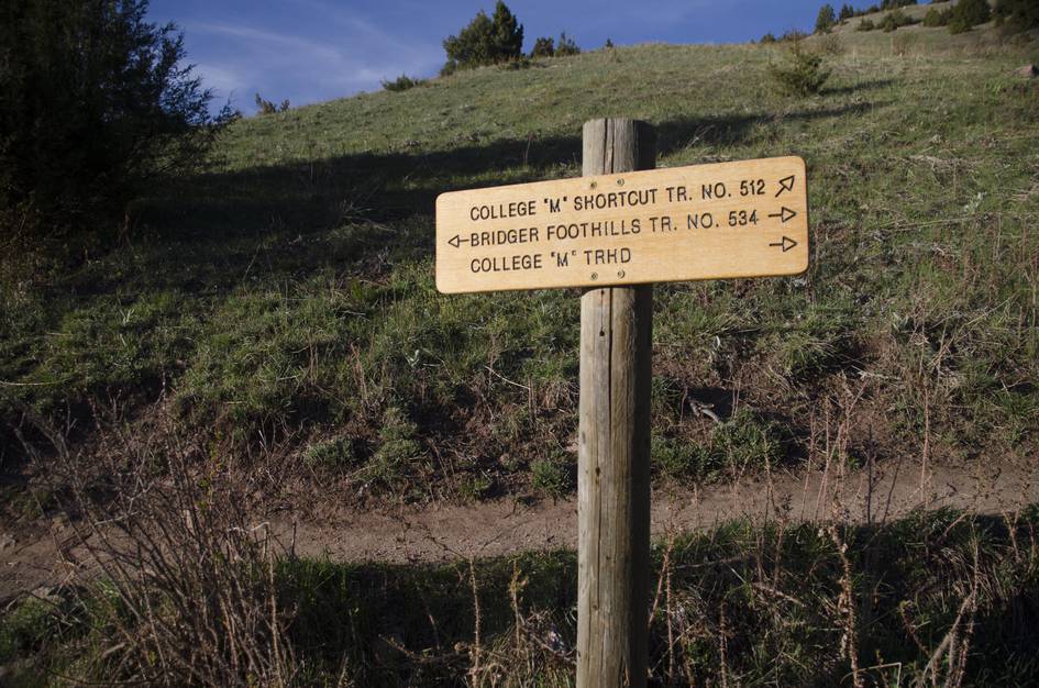
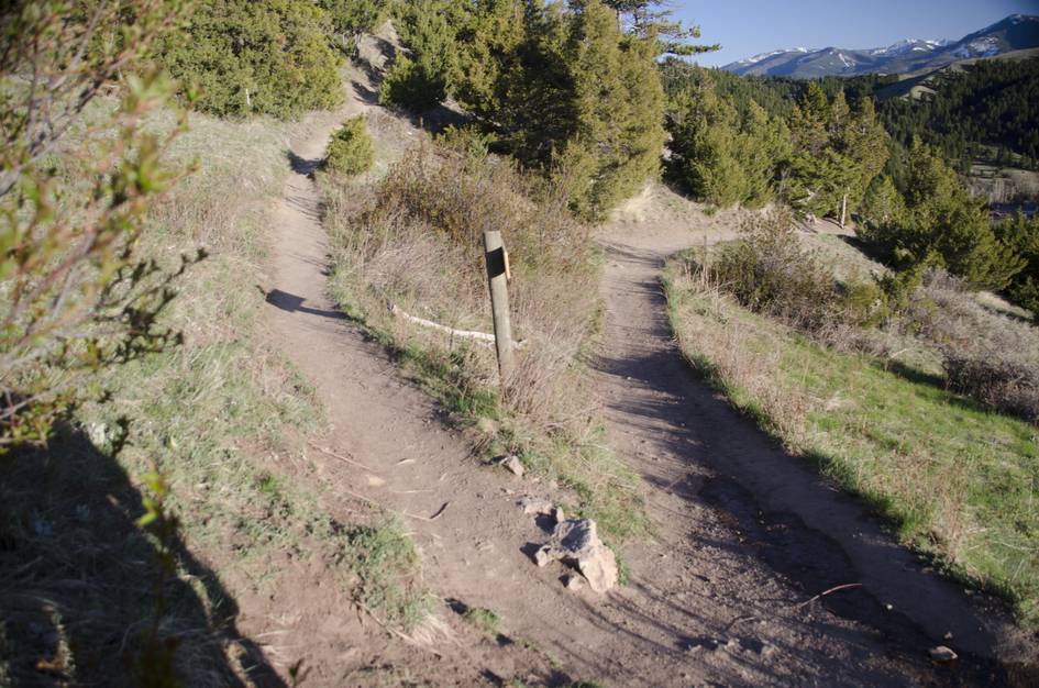
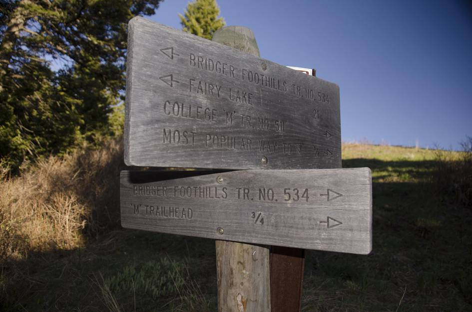
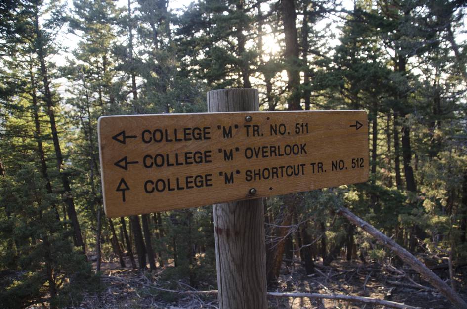
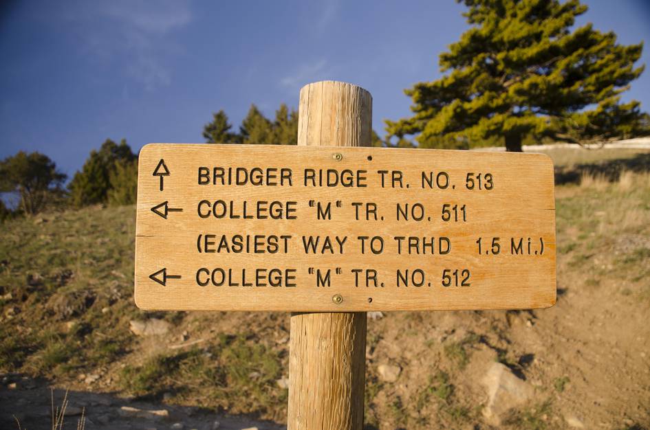
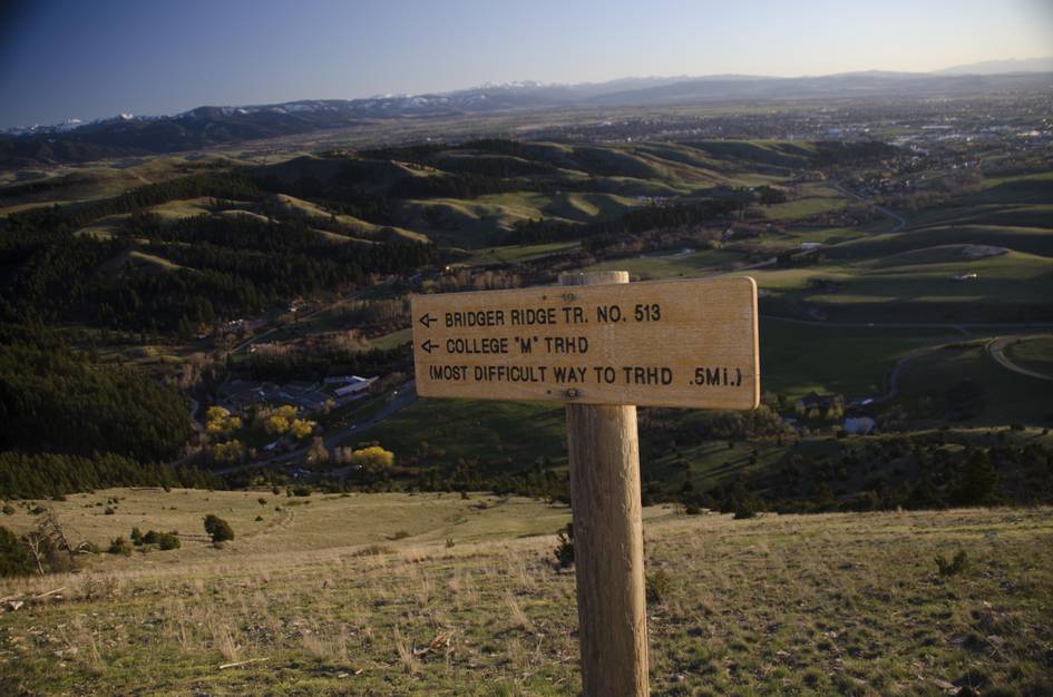
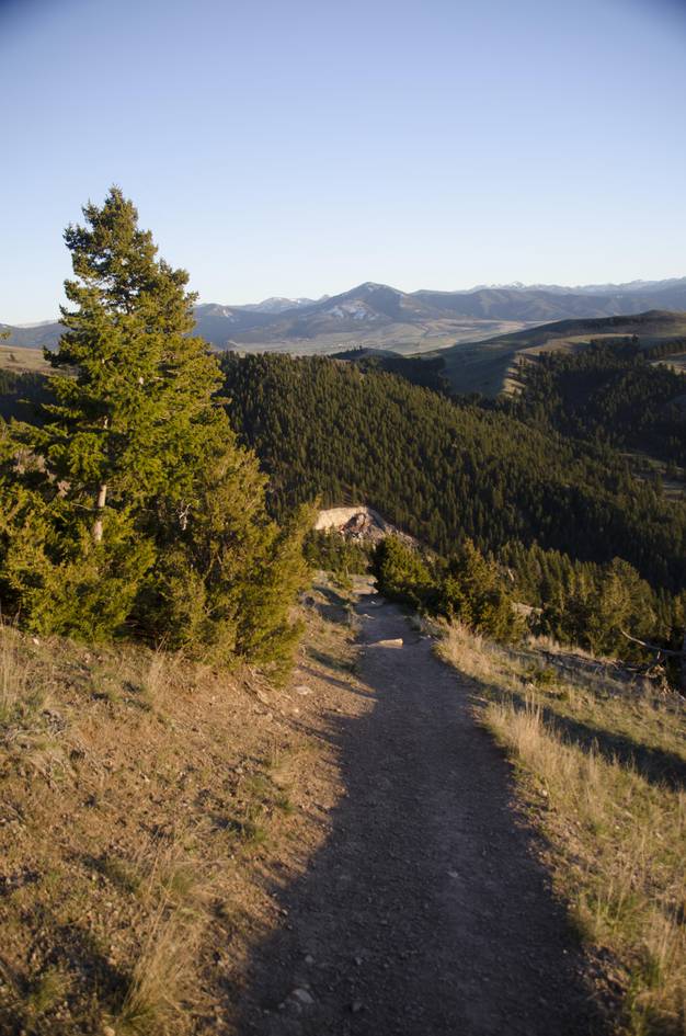
The Ridge Trail
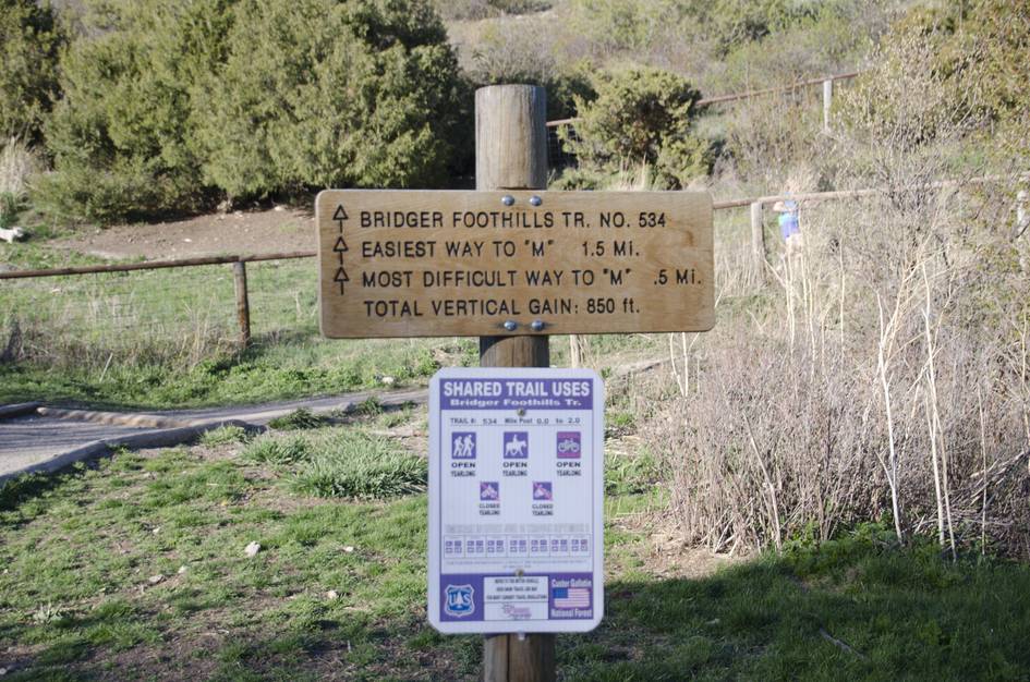
The "M" is often what is considered the end of the 22-mile ridge hike. Continue on from the benches at The "M" up to Baldy and all the way to Fairy Lake To Sacagawea Peak.
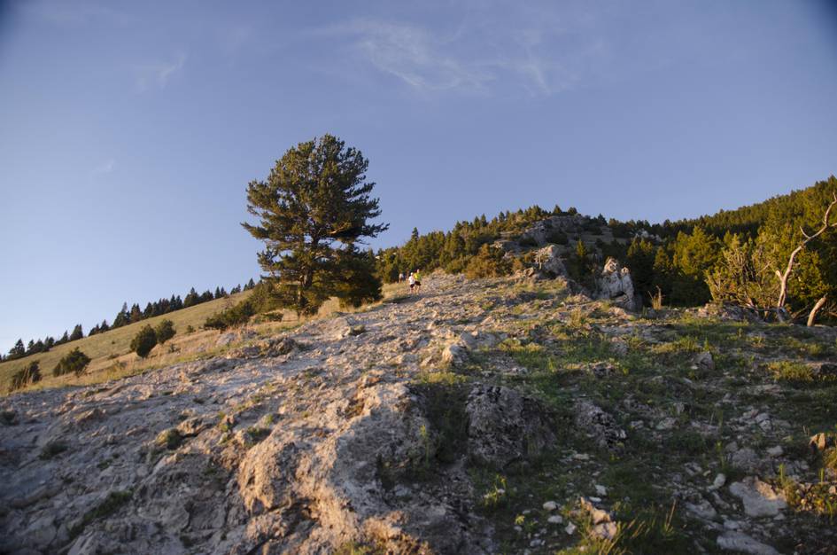
Mt. Baldy
Continue on another 4 miles and nearly 4,000 feet of elevation and you'll reach the summit of Mt. Baldy.
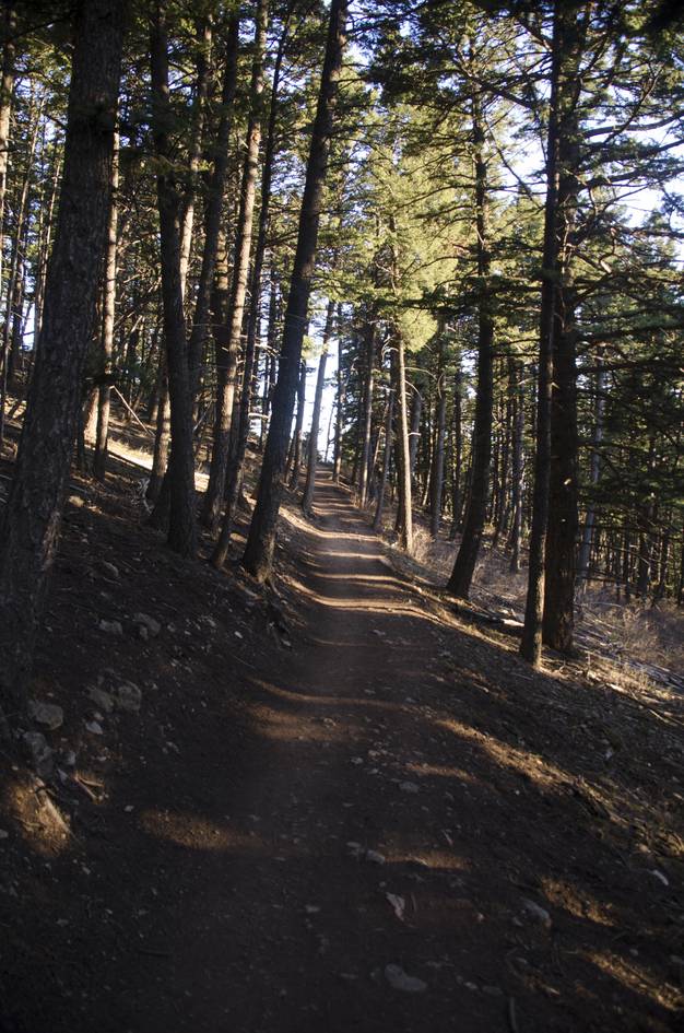
Bridger Foothills Trail
If you start on the easier path to The "M", about a half mile in you'll have an opportunity to take a left onto the Bridger Foothills Trail. It will intersect most of the drainages on the western slope of the Bridgers, giving you multiple hike configurations.
Beartooth Publishing's Bozeman Area Map includes this trail in its entirety.
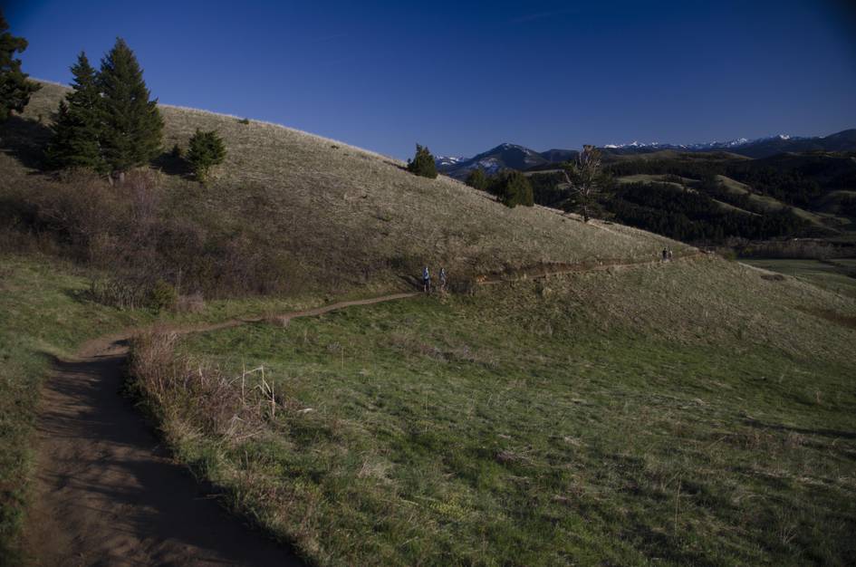
The M is hikeable year-round. Summer weekends fill the parking lot before 9am. Late May through September has the best trail conditions, and late September brings fall color on the aspen-lined lower sections.
June through August: all snow cleared, warm temperatures, peak wildflower bloom on the lower hillside — and the most people. Parking is full before 9am on summer weekends.
May and September through early October: cooler temperatures, lighter crowds, and fall color in the aspens in late September.
January through March without microspikes — the eastern route becomes icy and hazardous. The trail is technically open year-round but winter conditions require traction devices on the steep sections.
On the western (longer) route, plan about 45 minutes up and 45 minutes down. Add 10 to 15 minutes at the top and you are looking at about 1.5 to 2 hours total.
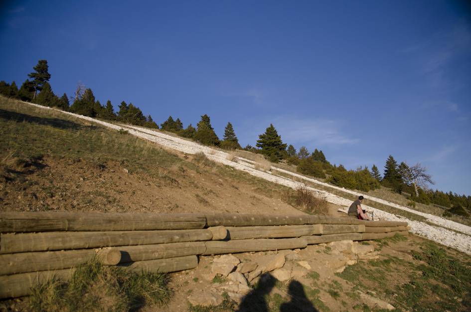
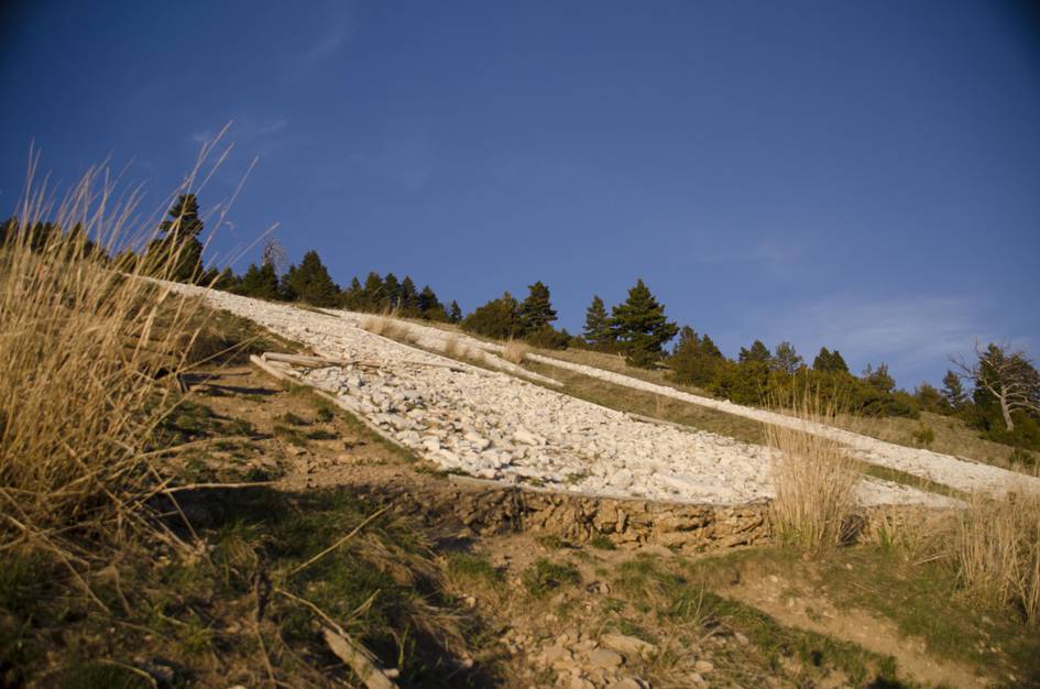
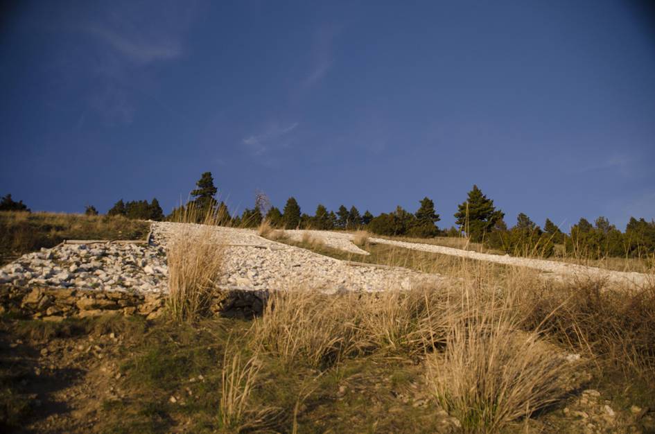
Moderate is accurate. The trail is steep from start to finish but short. The eastern route is significantly steeper than the western. Most hikers find it manageable at a slow pace.
Yes, but it fills fast on summer weekends — often by 9am. Overflow parking is along Bridger Canyon Road. The Drinking Horse lot directly across the street is another option when the M lot is full.
Yes. Continue north past the M benches toward Baldy Mountain and you are on the Bridger Ridge. The M is often considered the southern access point for the 22-mile ridge route that ends at Fairy Lake.
Yes, dogs are allowed and you will see many. There is almost no water on the trail, so bring enough for your dog — a collapsible bowl and at least 20 ounces per medium dog.
Weekday mornings from June through September give you the best combination of good conditions and manageable crowds. Arrive before 8am on summer weekends to get a trailhead parking spot.
Plug 3 miles and 805 feet of elevation gain into our free hiking time calculator for a personalized estimate.