Kirk Hill gets chosen for one reason: shade. The Douglas fir grow thick enough on this north-facing slope that the trail stays noticeably cooler than exposed hillsides nearby, which makes it the right call on a hot Bozeman summer day when the M is baking and Peets Hill is open to the sun. The trees are old and dense, and the trail moves through them quietly enough that it feels genuinely removed from the valley below.
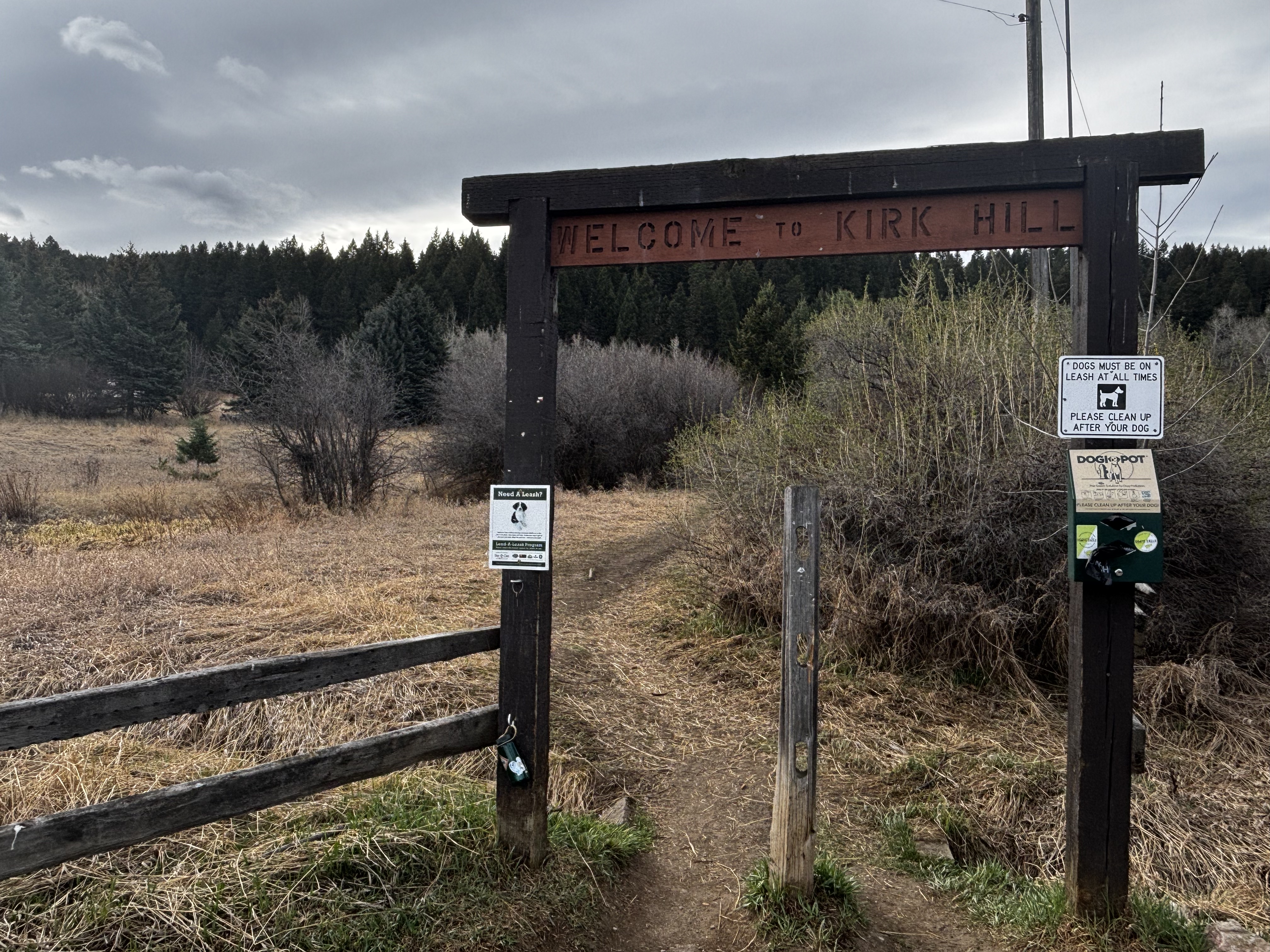
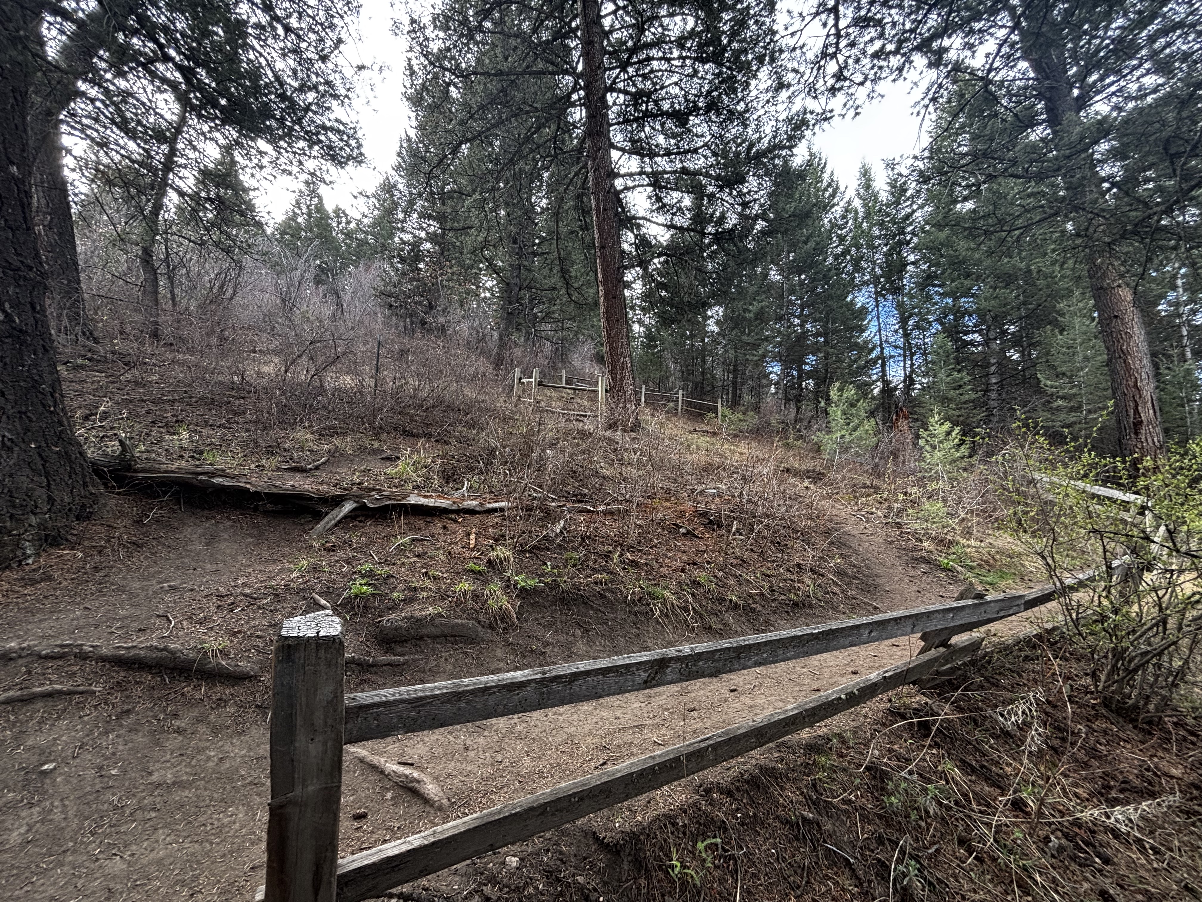
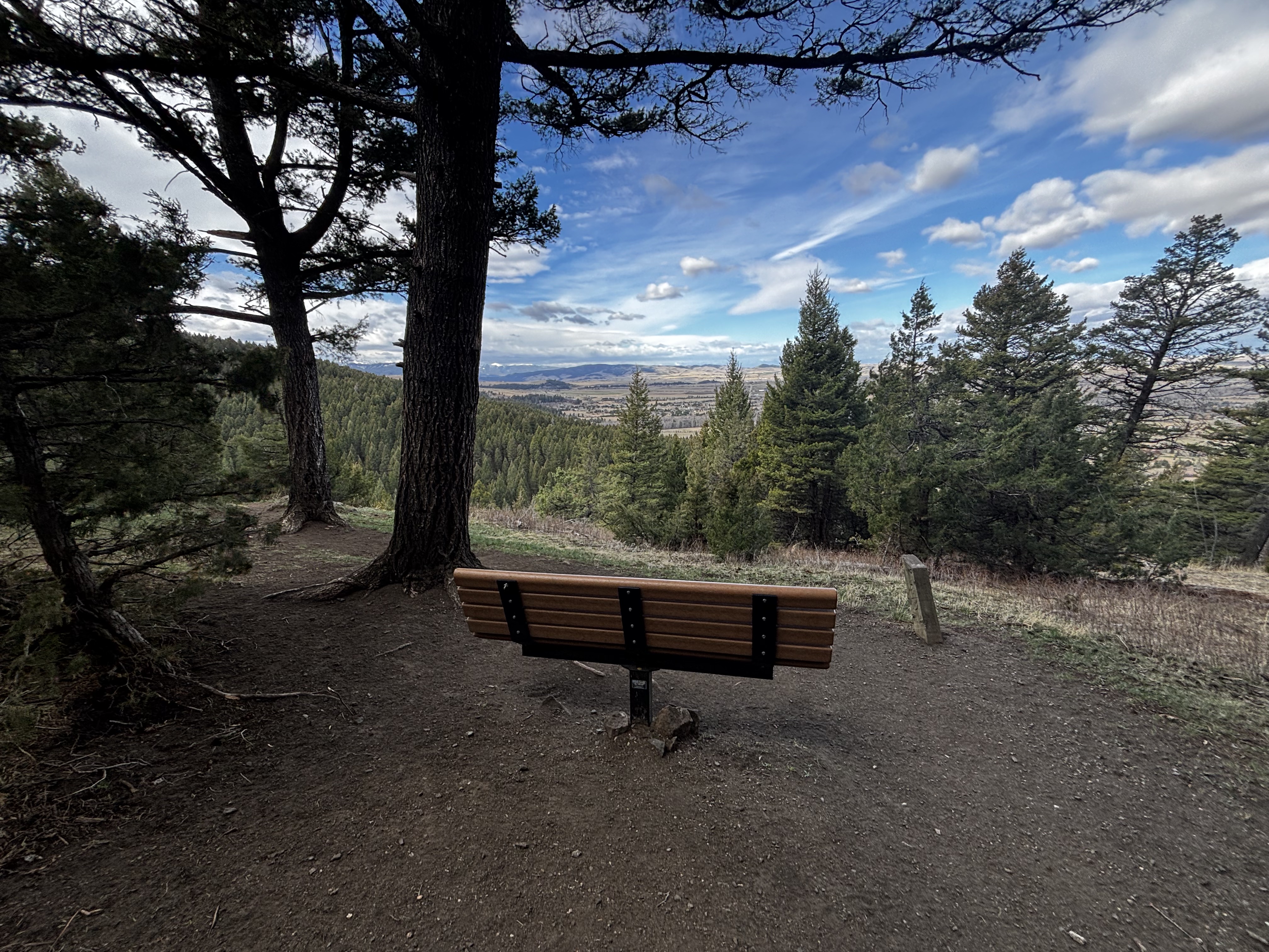
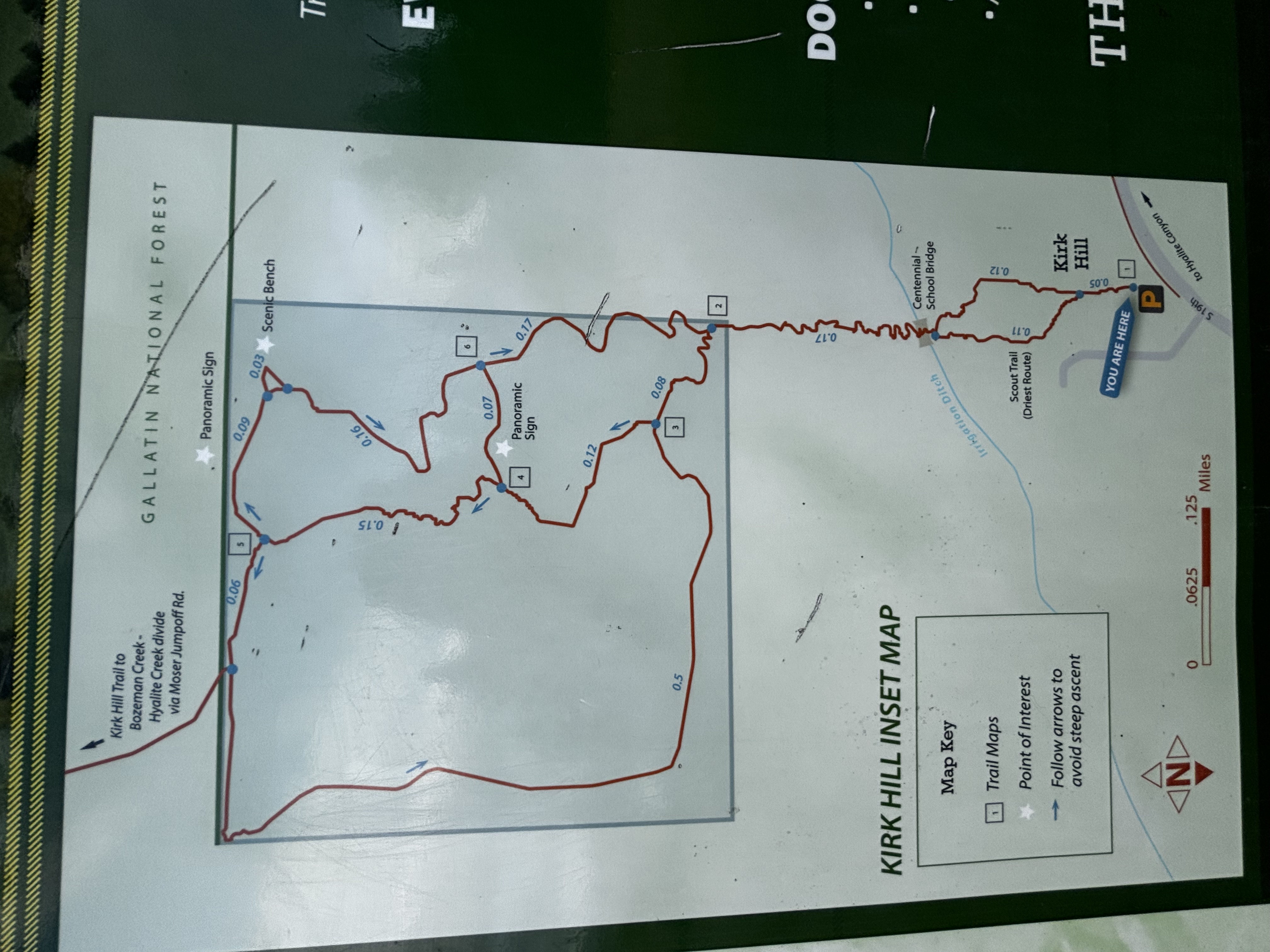
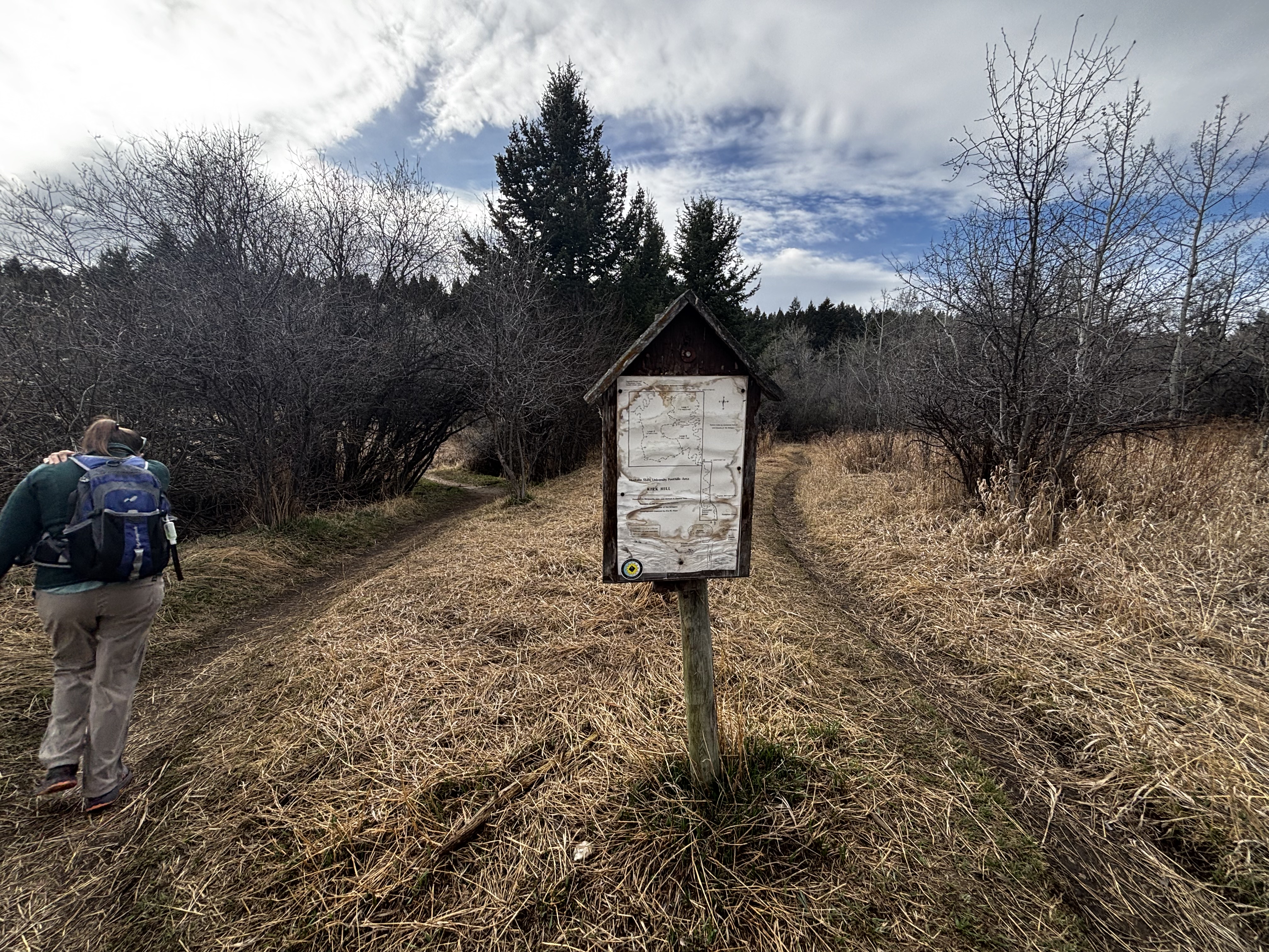
The trail has three numbered loops with different distances. Loop 1 ends at a bench with a view of the Gallatin Valley. Loop 2 winds deeper into the forest past stick lean-tos that hikers have built over the years. Loop 3 is the shortest. The grade starts hard from the trailhead gate with no gentle opening section, which makes it a better workout-to-distance ratio than most short trails near town. No bikes, no water, no lake. That is actually the selling point.
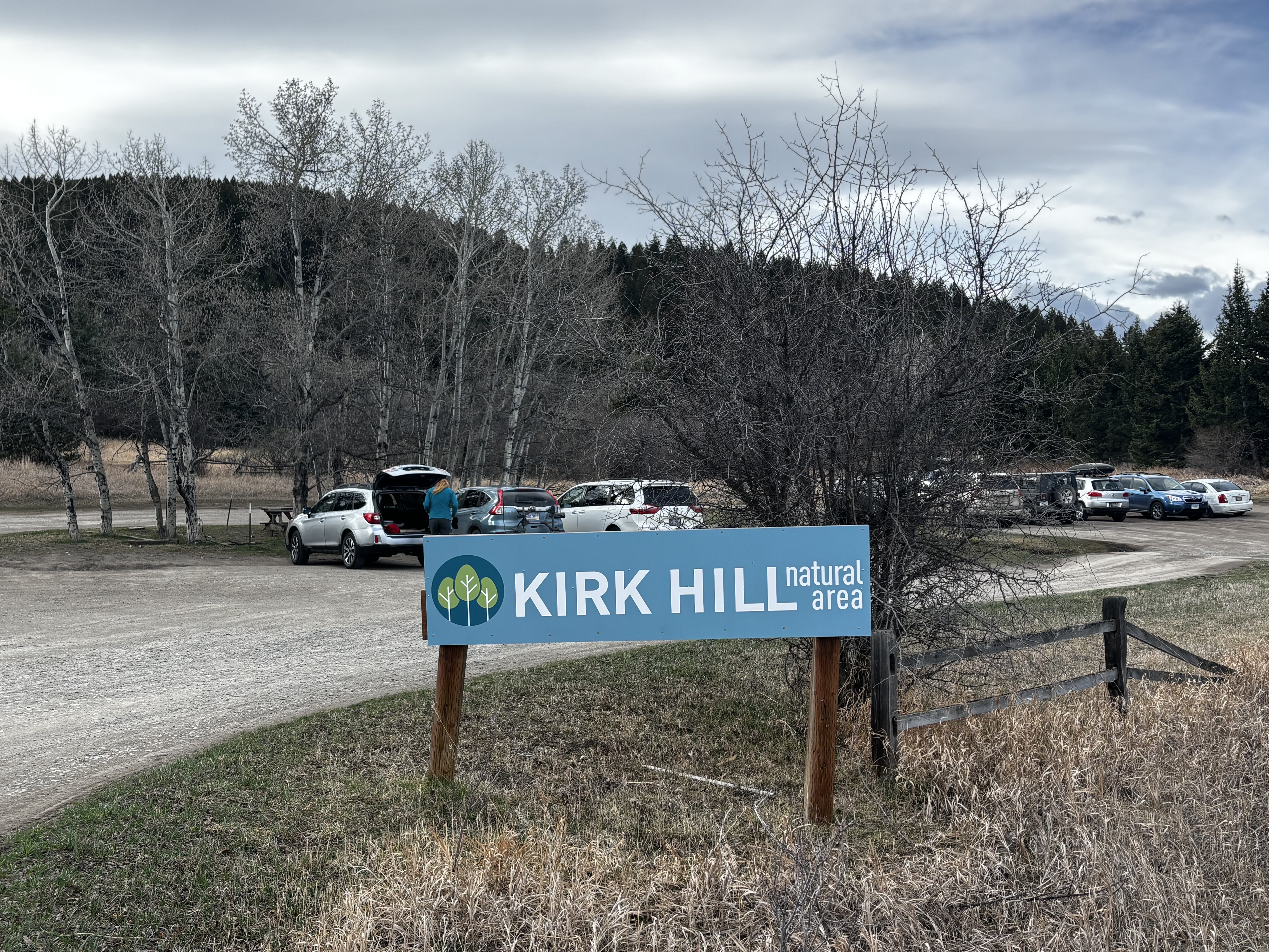
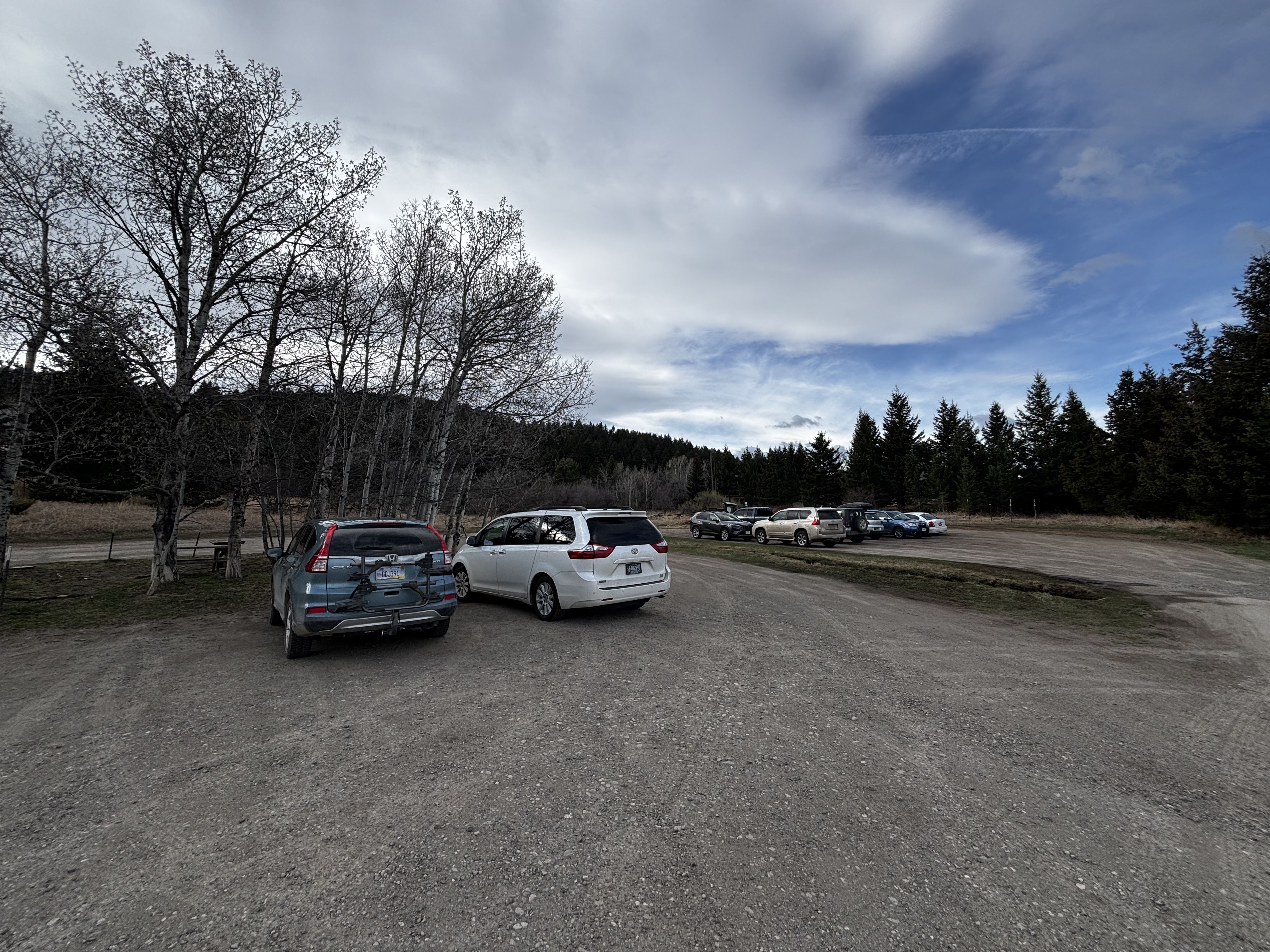
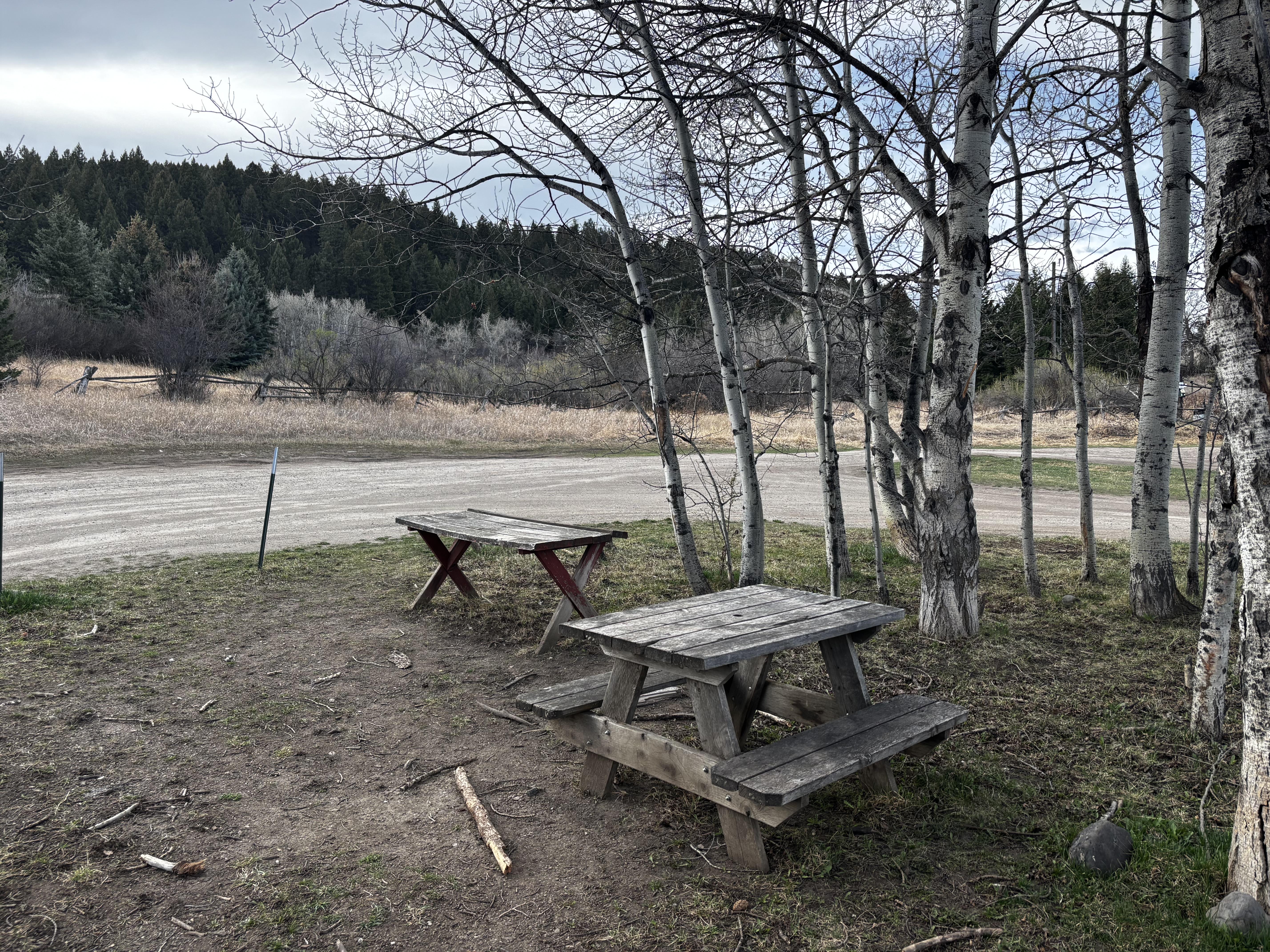
The gravel parking lot is large enough that you should have no trouble finding a spot, even on weekends. Picnic tables near the lot are a nice spot to eat before or after the hike.
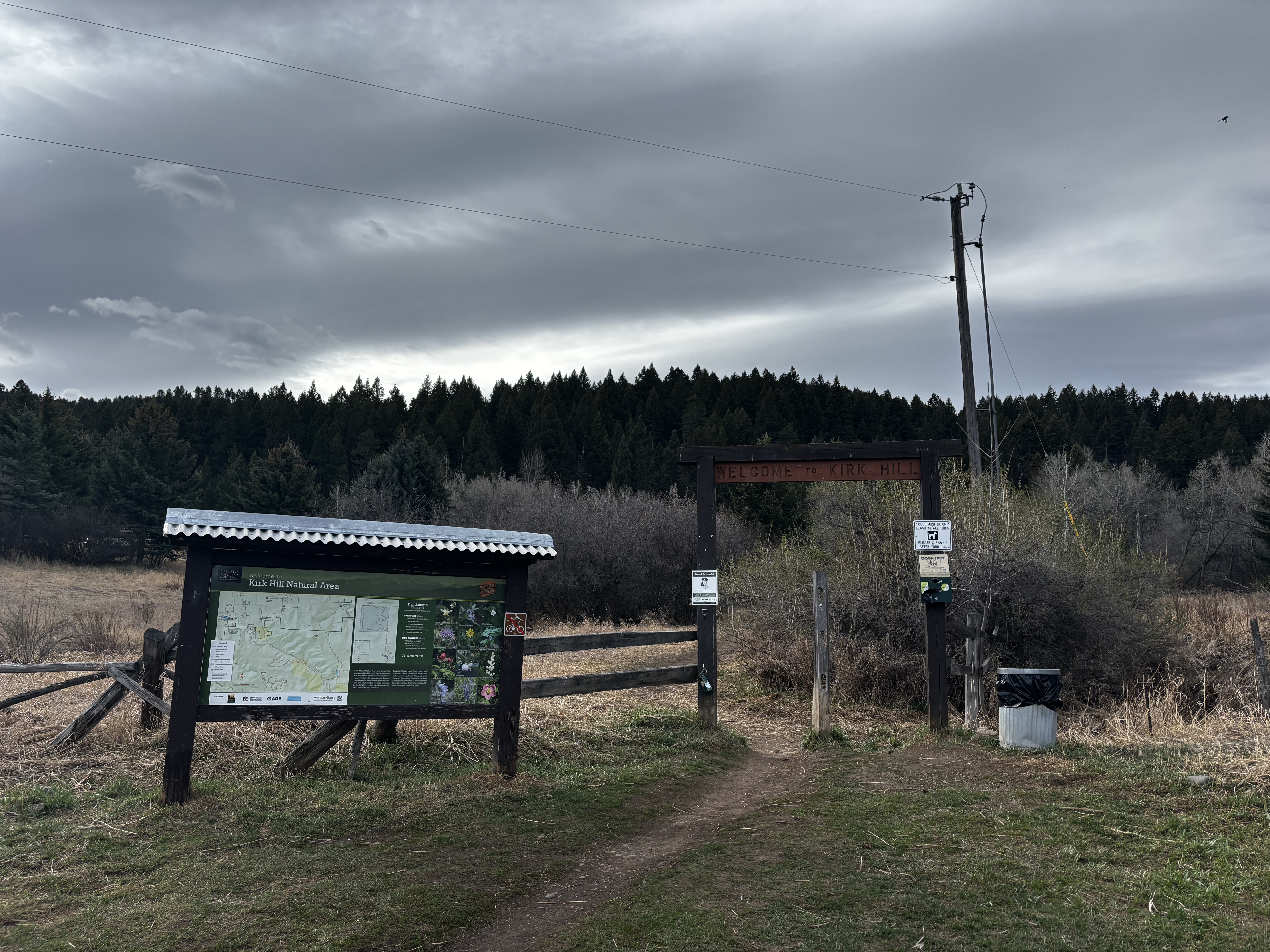
No bathroom at the trailhead. Take care of business before you leave Bozeman.
Kirk Hill is quieter than the M and Drinking Horse on most days, which is part of the appeal. You will see other hikers and plenty of dogs, but it is not the kind of trail where you are constantly stepping aside. Mountain bikes are prohibited, so it is hikers and runners only.
Paved road the entire way. South 19th Avenue is well-maintained and you will be at the trailhead in about 12 minutes from downtown Bozeman.
You will have full cell service for the entire hike. The trailhead is less than 8 miles from downtown Bozeman.
Dogs are welcome and the shaded trail is easy on them in summer, but they must be on leash at all times. The signs at the trailhead are serious about it. There is no water on the trail once you leave the base, so let your dog drink from the creek before you start. There are no waste bag dispensers at the trailhead, so pack your own.
7.3 Miles from Bozeman, MT. 12 Minutes
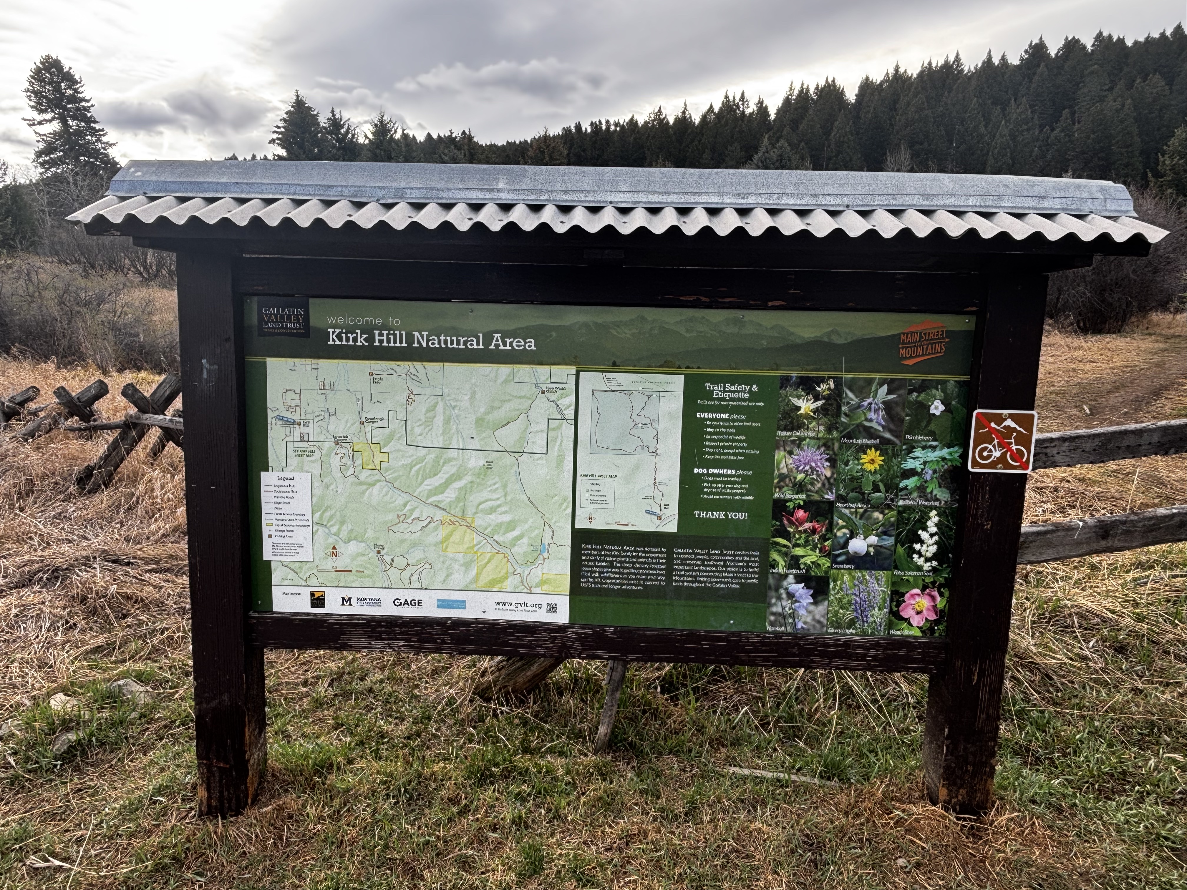
From downtown Bozeman, head south on South 19th Avenue. Drive about 7 miles, staying on South 19th as it heads out of town. The Kirk Hill Natural Area parking lot will be on your left. Watch for the large blue Kirk Hill Natural Area sign at the entrance to the gravel lot. You can't miss it.
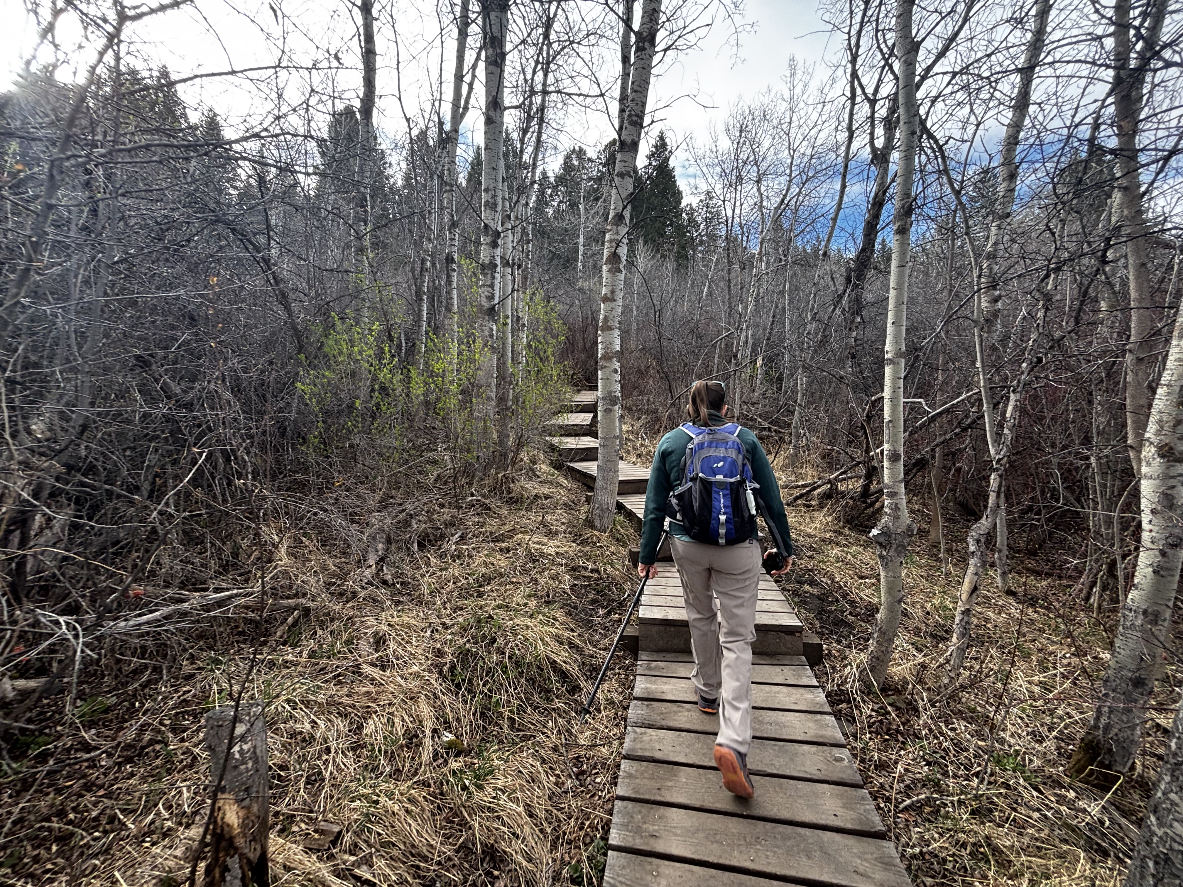
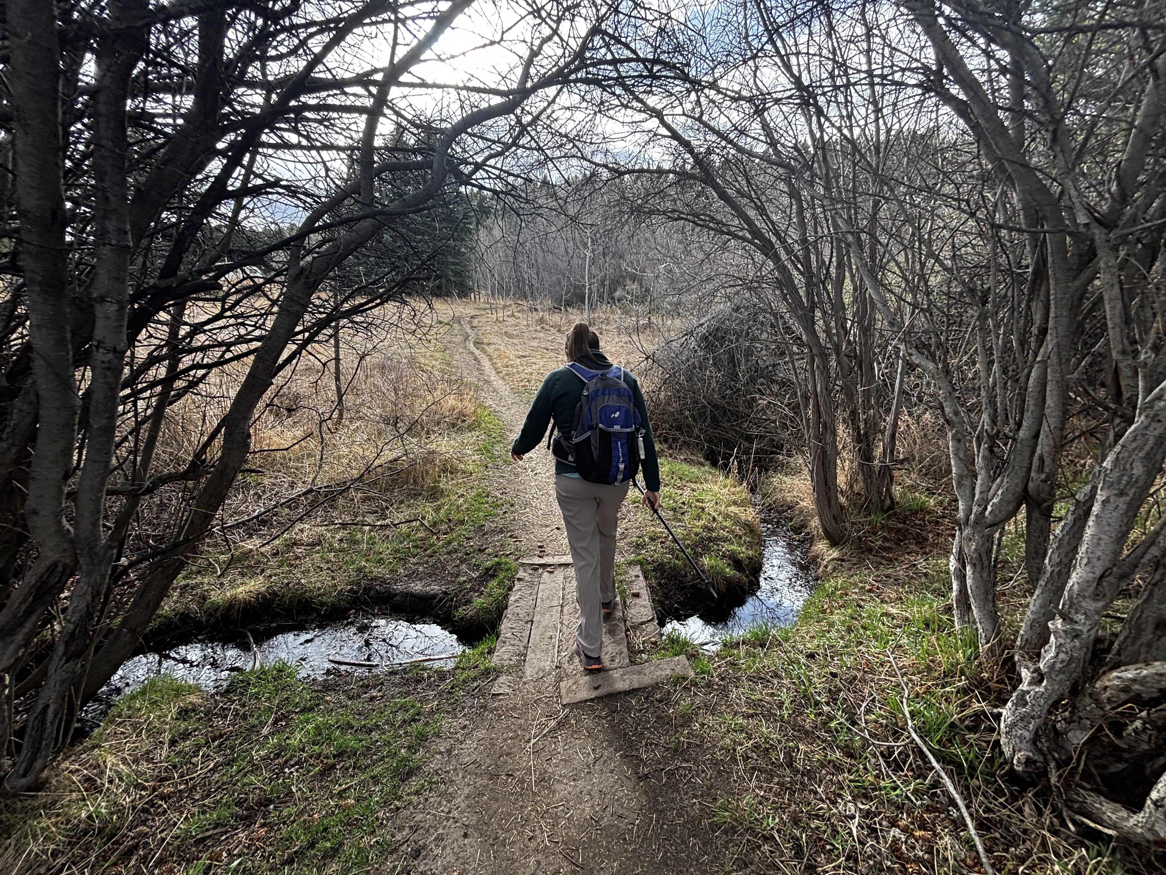
There is no reliable water on the trail. A small creek runs through the marshy meadow at the base with a footbridge crossing near the start, but bring what you need before you leave the parking lot. There are no water sources once you start climbing.
24 oz consumed per person
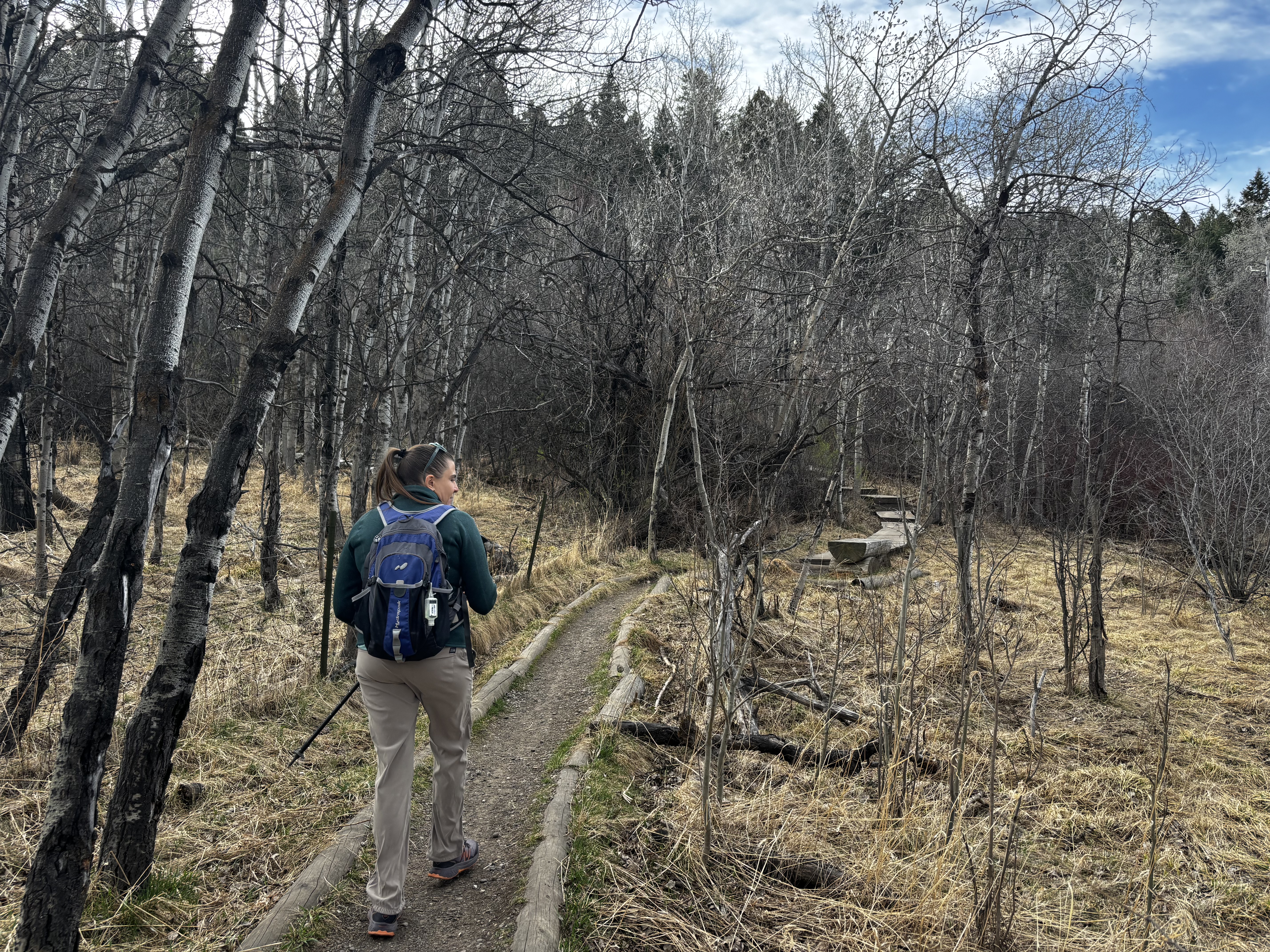
Summer and fall conditions are excellent. The trail is well-marked and well-built, with wooden boardwalks through the wet lower section, stairs with handrails on the steeper upper sections, and benches placed along the route. Spring is a different story. The thick canopy means the trail gets very little direct sunlight, so it holds mud much longer than exposed trails around town and is one of the last in Bozeman to dry out after snowmelt. In winter, the steep sections become ice chutes. Microspikes are mandatory from December through March, and even then, take care on the descent.
The dense canopy keeps the trail noticeably cooler than the surrounding valley, especially in the morning and on the upper section. Bring a layer even in summer. In spring and fall, dress for colder conditions than you think you need. Microspikes are not optional in winter.
Footwear: Trail Runners
The bench on Loop 1 is a good spot for a snack with a valley view. You do not need much food for a hike this short, but it is a good excuse to pack something if you have kids who need a reward at the top.
Not usually a problem. The marshy lower section can have mosquitoes in early summer, so bring bug spray from June through July just in case.
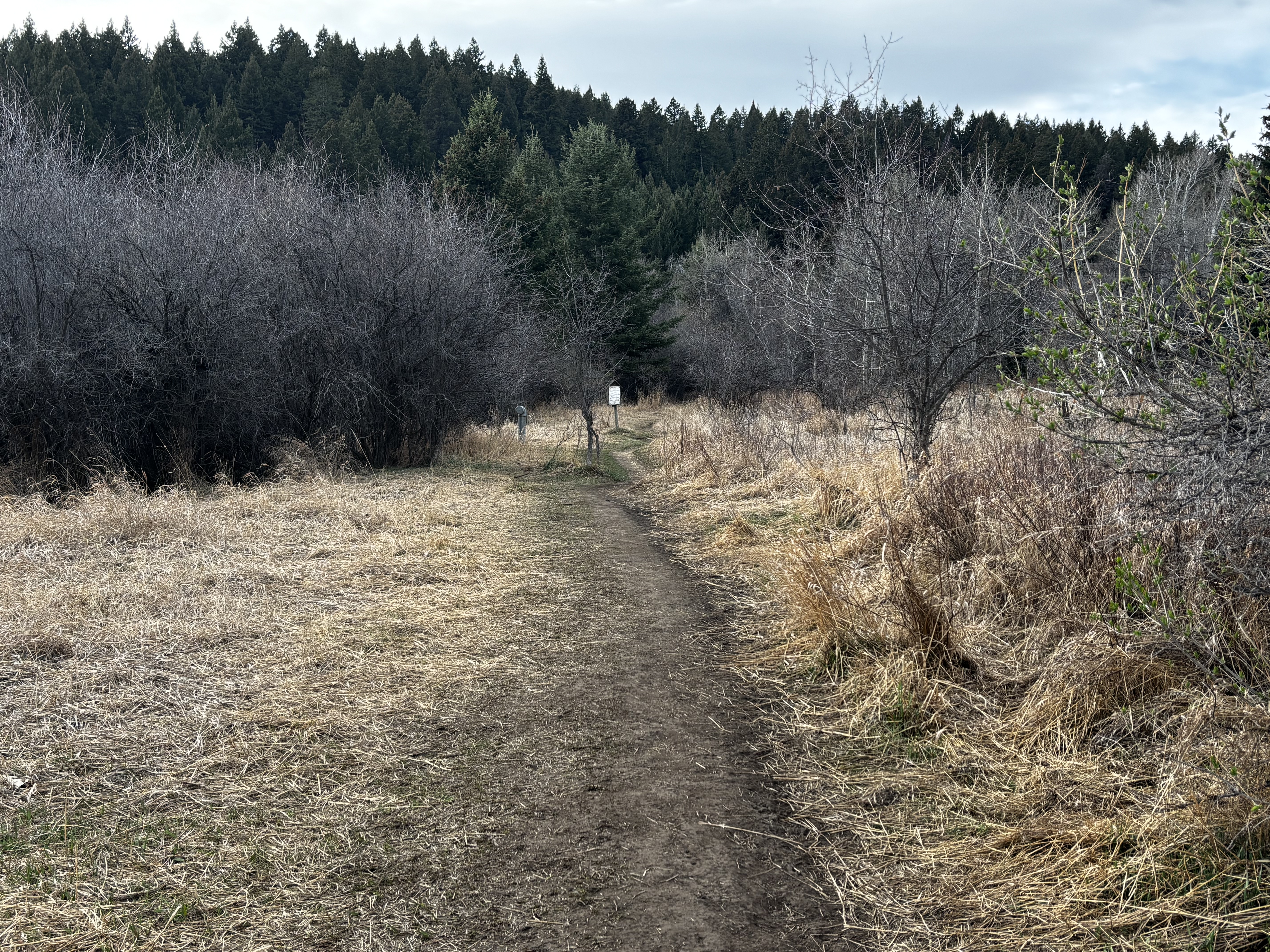
The trail is almost entirely shaded by old-growth Douglas fir and aspen. This is the defining feature of the hike and the main reason to choose it on a hot day. In spring and early winter, the lack of sun is also the reason to stay away.
Day hike only. No camping is allowed in the Kirk Hill Natural Area.
USFS Trail #428 (Moser Trail)
The Kirk Hill trail network connects to Custer Gallatin National Forest via Trail #428, which opens up substantially more mileage and elevation gain for those who want a longer day. The full connector is a point-to-point route that gains over 1,700 feet before ending at a Forest Service road.
The trailhead kiosk has a good trail map with points of interest marked, which is enough to navigate the loop. If you plan to connect to USFS Trail #428 and continue into the Gallatin National Forest, pick up Beartooth Publishing's Bozeman Area map before you go.
Summer and fall are the best seasons at Kirk Hill. The north-facing canopy keeps the trail cool through July and August when other Bozeman trails bake. Avoid spring when mud lingers, and use microspikes December through March on the steep sections.
June through October: canopy provides shade all summer, fall color in the aspens in late September, trail is dry and easy to follow.
May and November: passable but muddy in May and potentially icy in November — check conditions after weather events.
December through March without microspikes — the north-facing slope holds ice long after other Bozeman trails clear, and the steep sections become genuinely hazardous.
No. Kirk Hill is a separate trail system on South 19th Avenue, about 12 minutes from downtown. The M is on Bridger Canyon Road near the north end of town. They are unrelated trails.
No. Bikes are prohibited on all loops in the Kirk Hill Natural Area. It is hikers and runners only, which is part of why the trail stays quiet.
The main loop is about 1.6 miles. Loop 3 alone is 0.4 miles, Loop 1 is 0.5 miles, and Loop 2 is 0.9 miles. Stringing all three together comes out to about 2-plus miles.
Only with microspikes. The north-facing slope holds ice from December through March and the steep sections become hazardous without traction devices. Check conditions before going.
Yes, the gravel parking lot at the South 19th Avenue trailhead is large and rarely fills. There are also picnic tables near the lot.
Plug 1.6 miles and 650 feet of elevation gain into our free hiking time calculator for a personalized estimate.