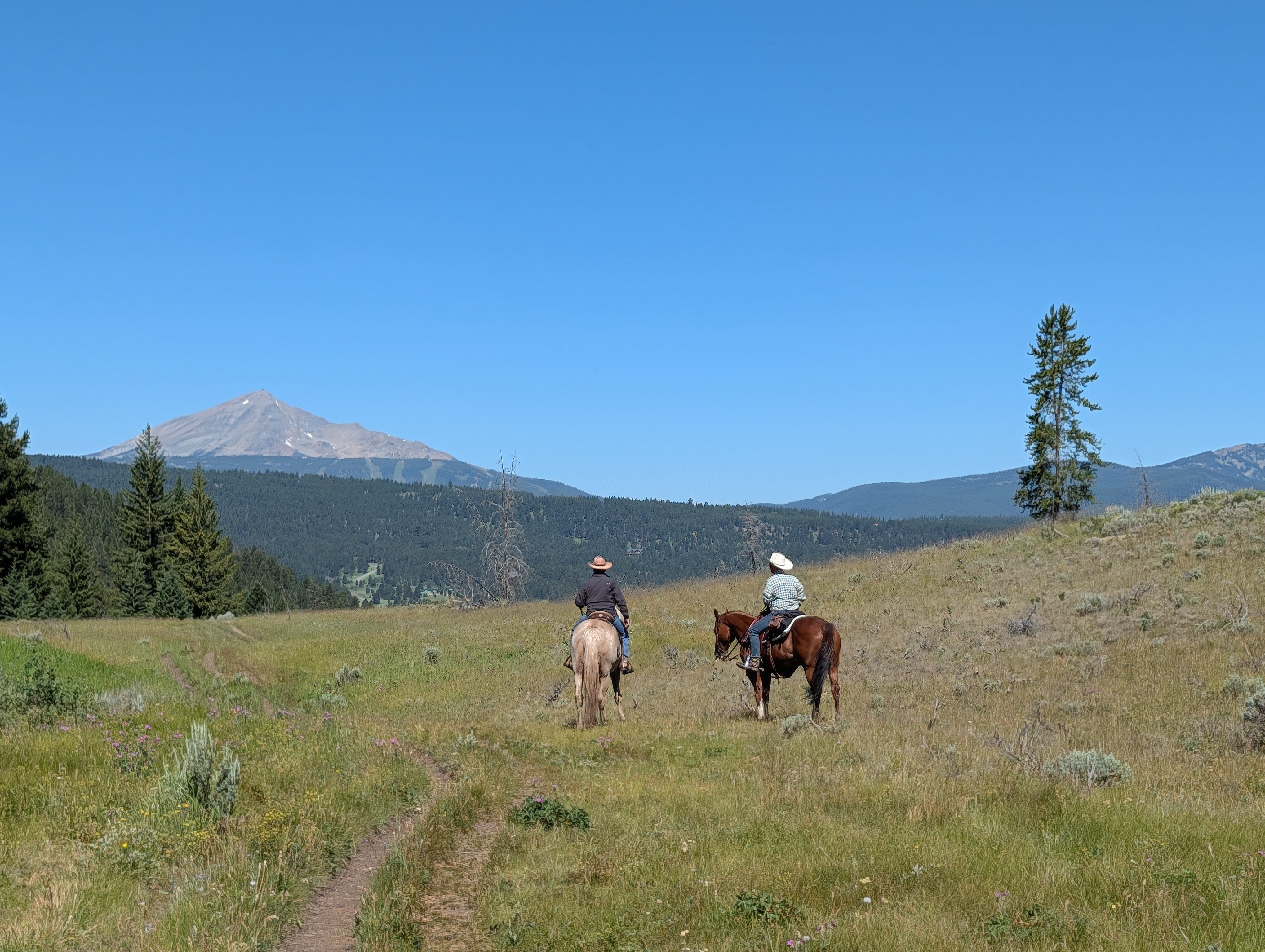
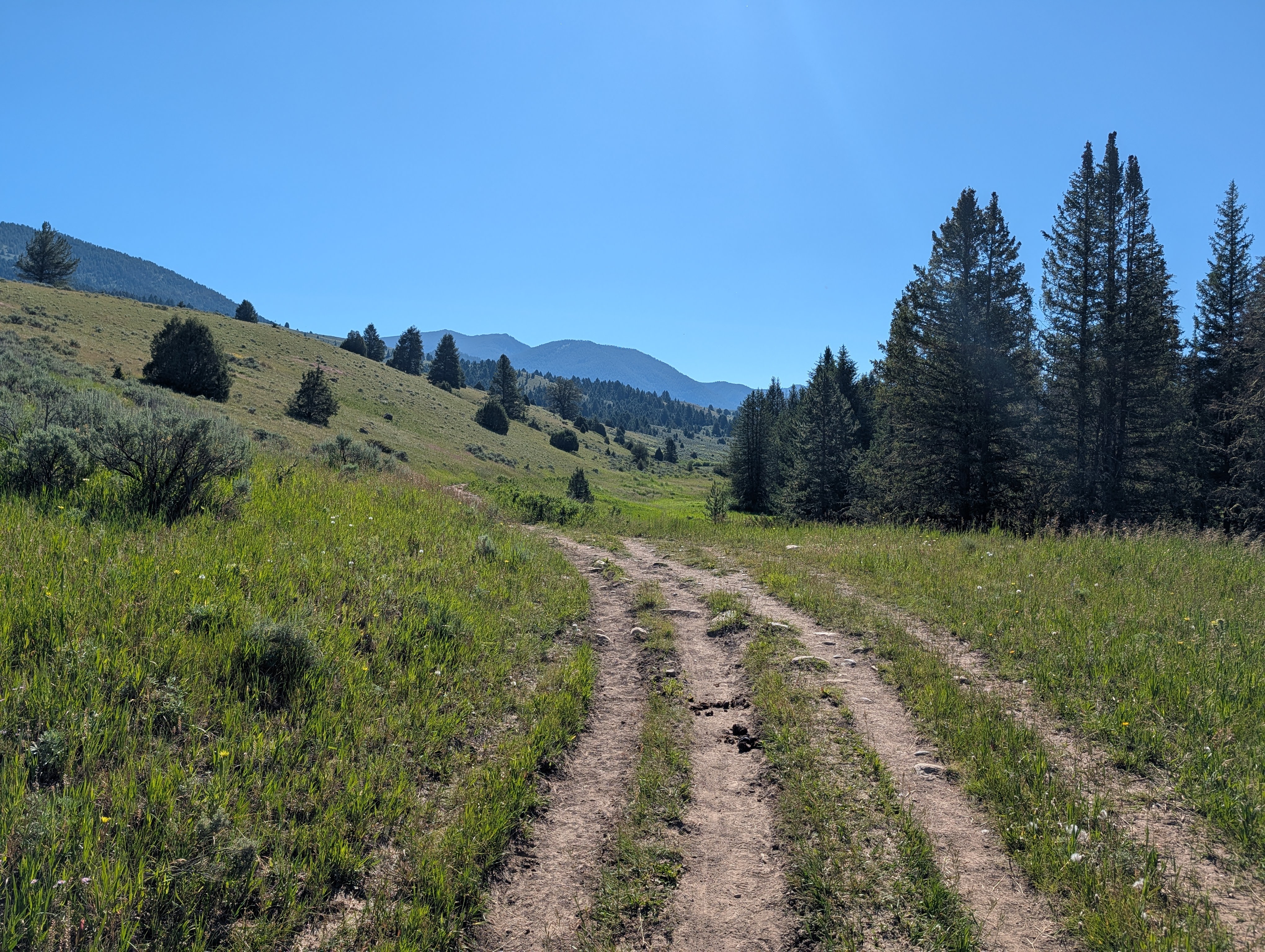
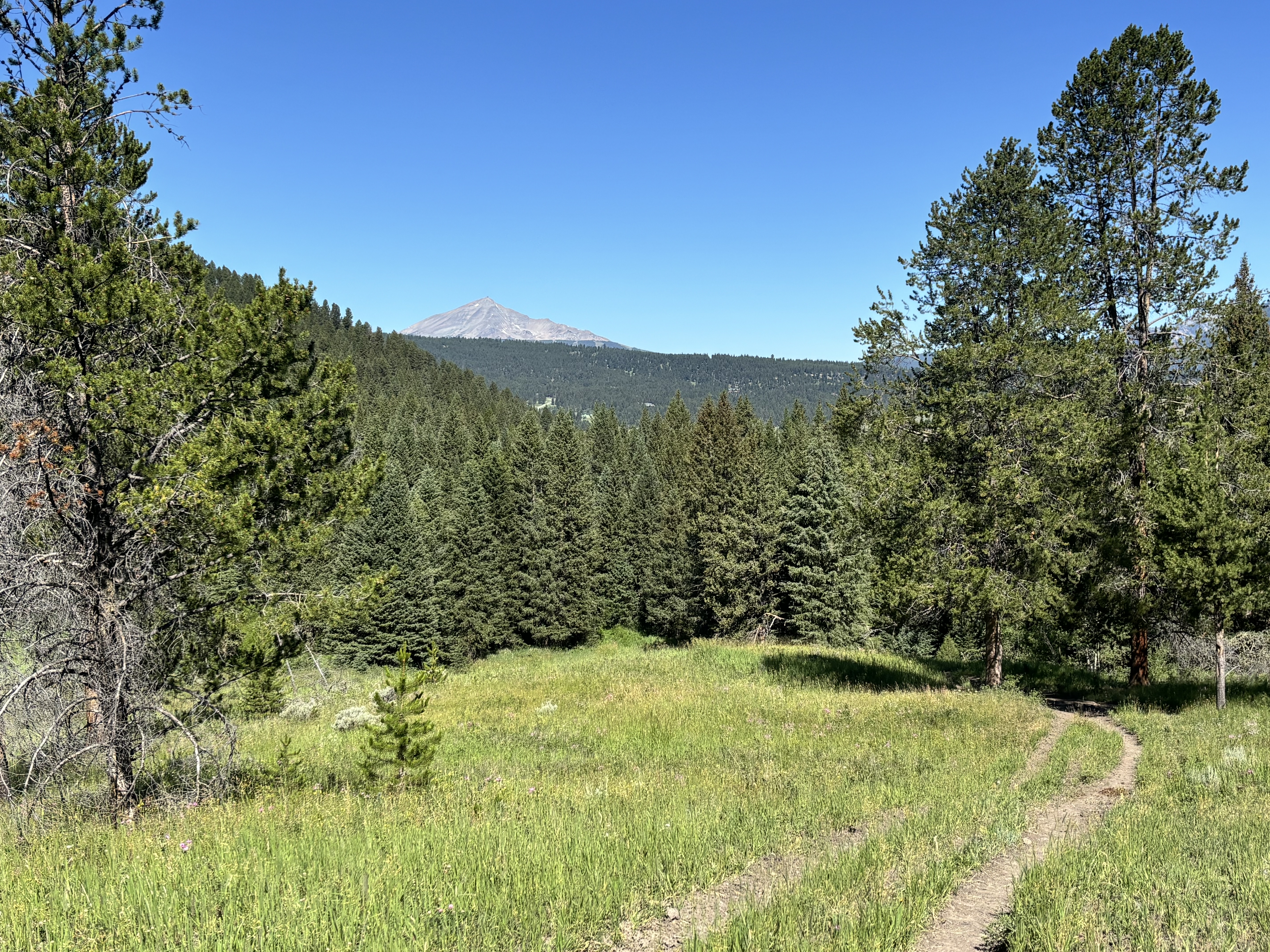
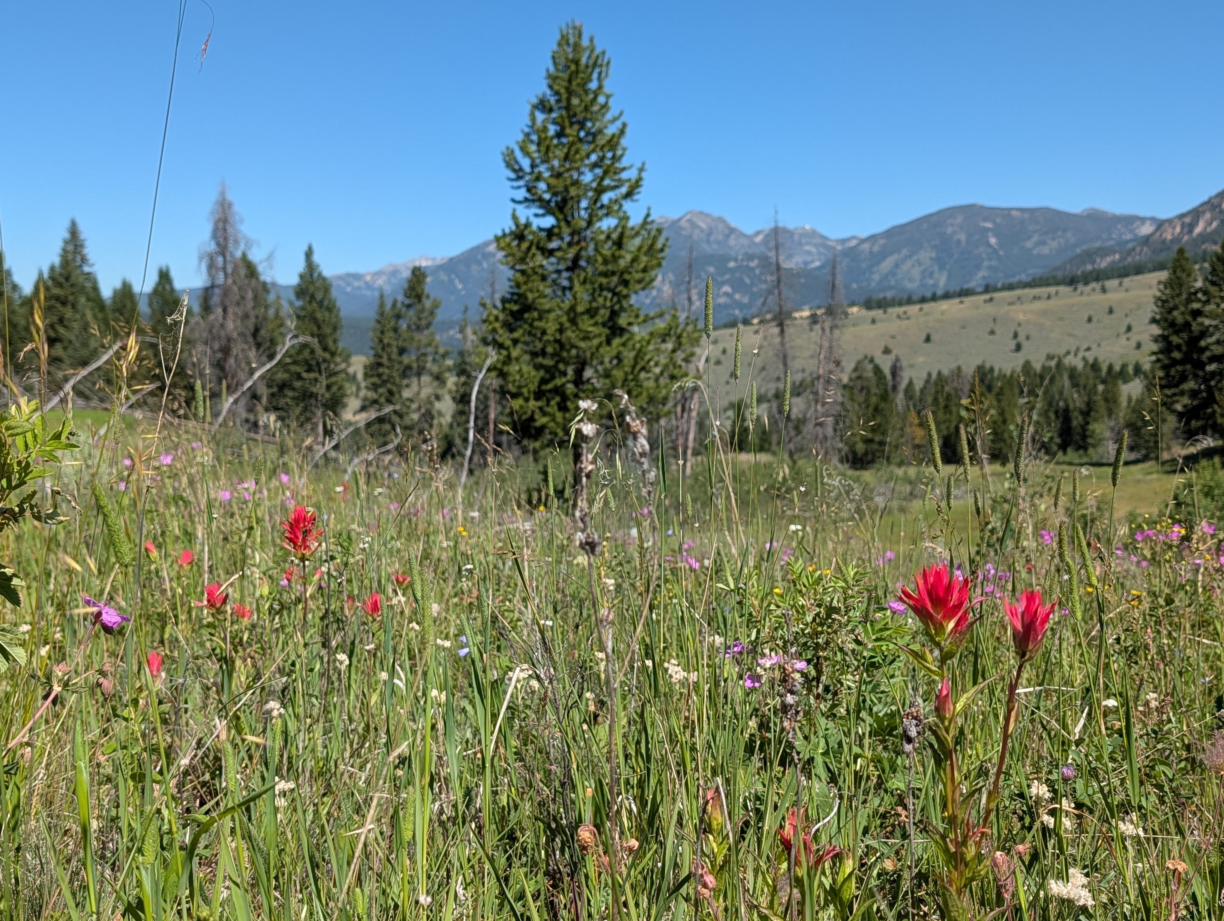
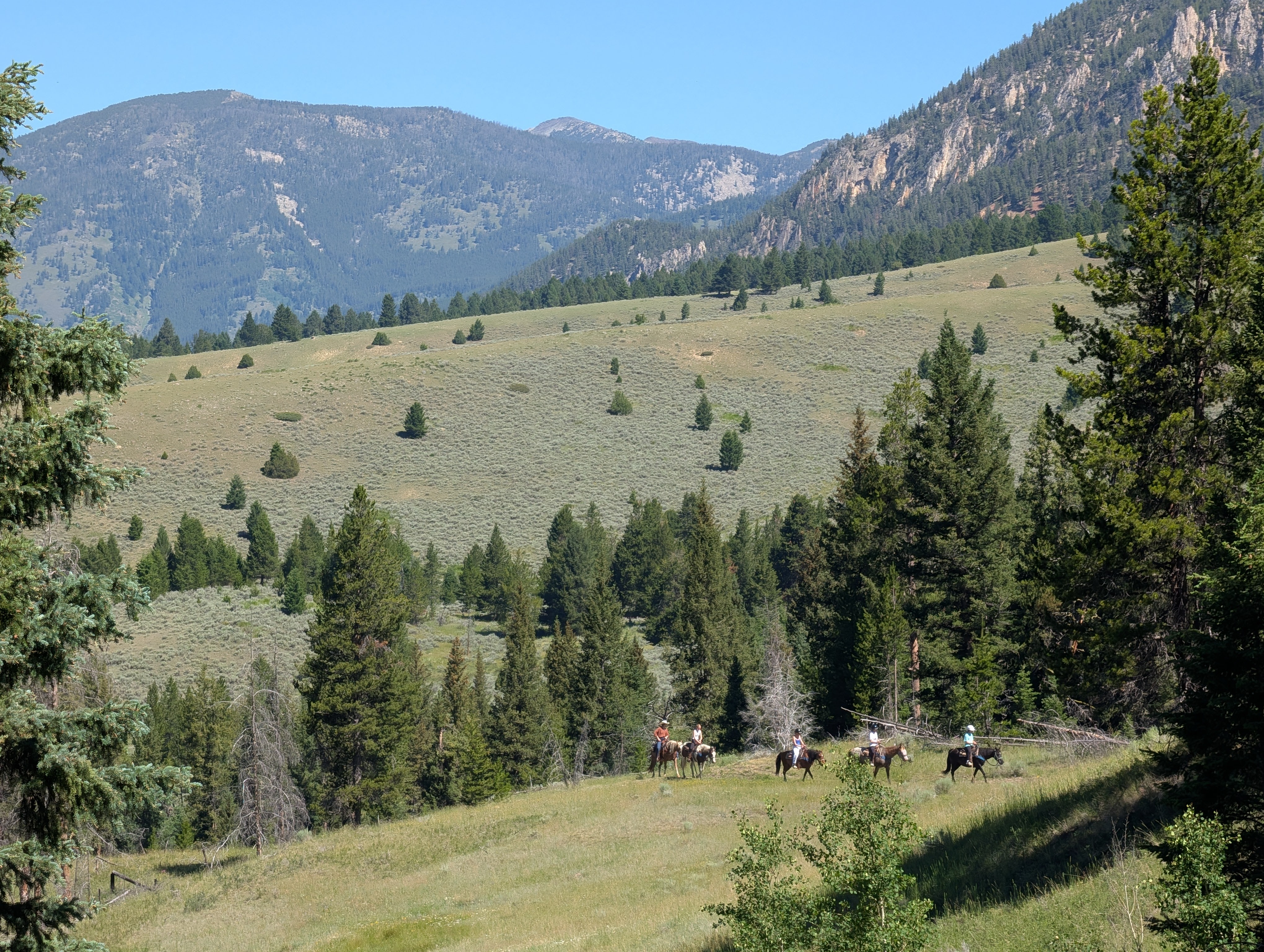
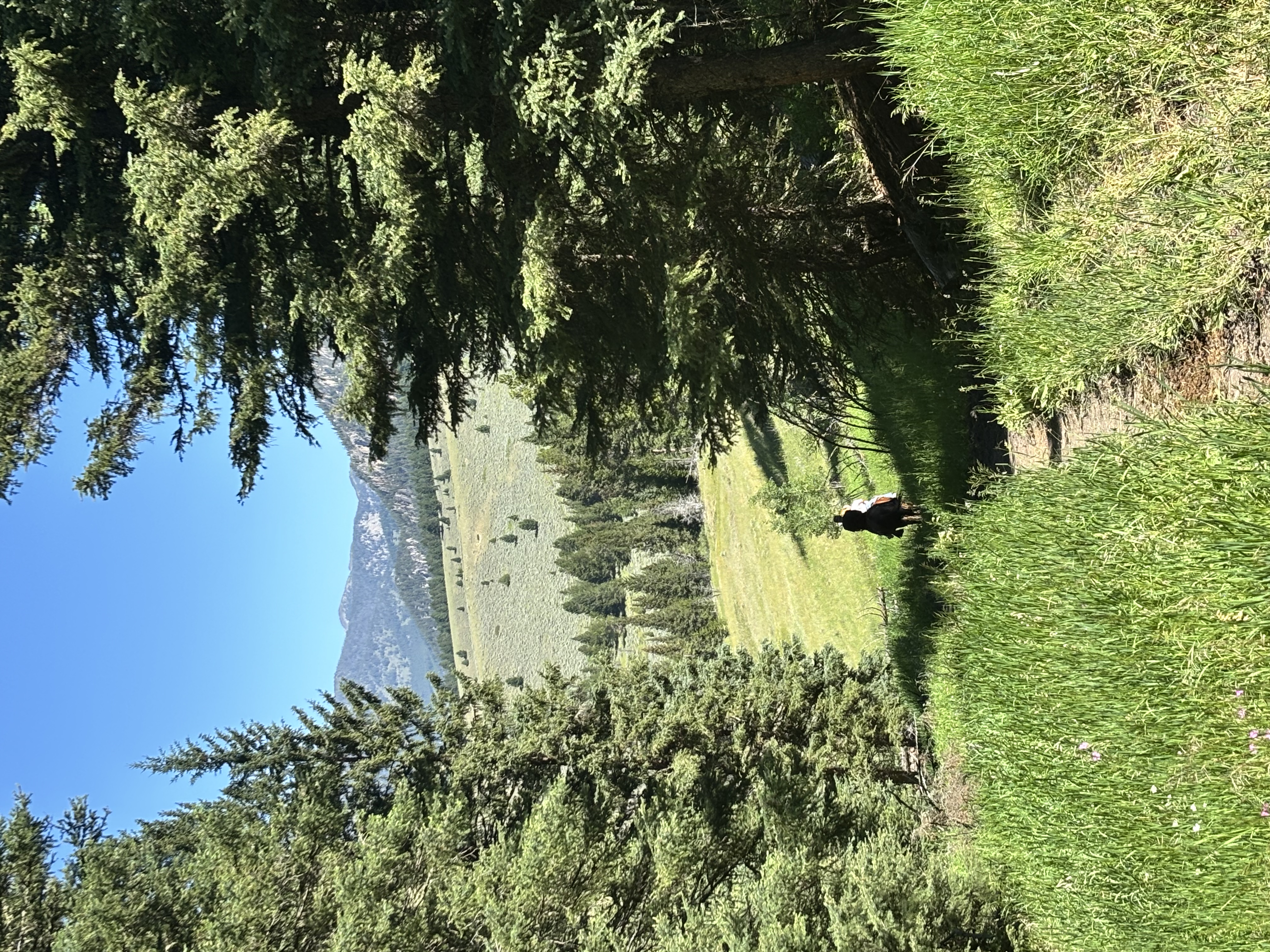
Porcupine Creek works because it gives you a meaningful taste of the Gallatin Range without demanding the planning of a major summit day. The lower route is short enough for a casual afternoon, but the landscape still feels wild: creekside forest, open sage-and-grass slopes, flowers, horses, and big views across the canyon.
It is also a useful reminder that a trail can be easy without being manicured. Mud, water, wildlife, and shared use are part of the experience. If you arrive prepared for that version of easy, Porcupine is an excellent Big Sky backyard hike.
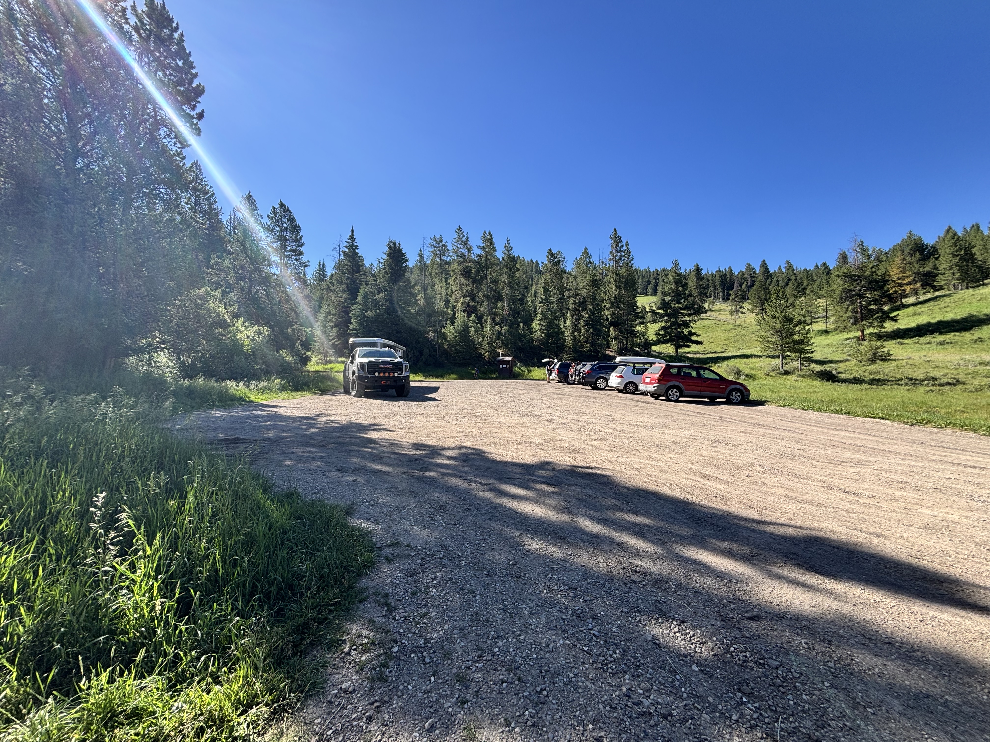
The gravel lot is free and more forgiving than many small Big Sky trailheads, but it can be busy when horse groups or multiple recreation users arrive. Park neatly and leave room for trailers and turnarounds.
A basic vault toilet is located at the trailhead.
Porcupine usually feels quieter than the headline hikes near Big Sky, but it is not empty. Expect local hikers and dog walkers, plus horse groups in summer. Shared-use traffic increases later in the season.
The trailhead approach is a short gravel road off Highway 191 and is normally suitable for passenger vehicles in the main season. Check conditions after major storms or spring thaw.
Service can be available near the trailhead and intermittent farther into the drainage. Do not rely on it for navigation or emergencies.
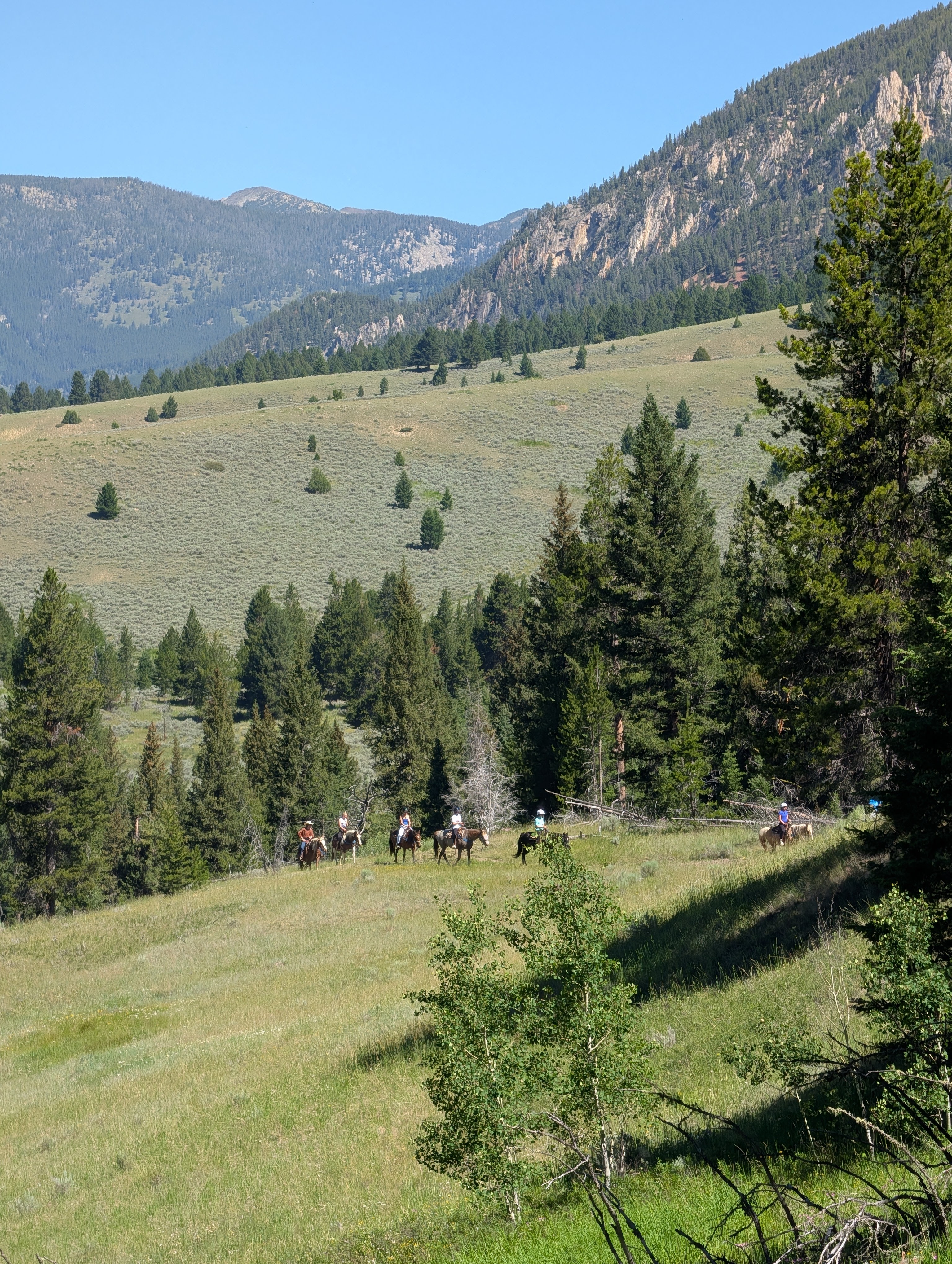
Dogs are welcome but should be controlled and leashed where required. This is active wildlife habitat and a shared-use trail with horses, bikes, and potentially motorized traffic depending on the season. Keep dogs close, yield calmly to horses, and pack out waste.
45 Miles from Bozeman, MT. About 1 Hour
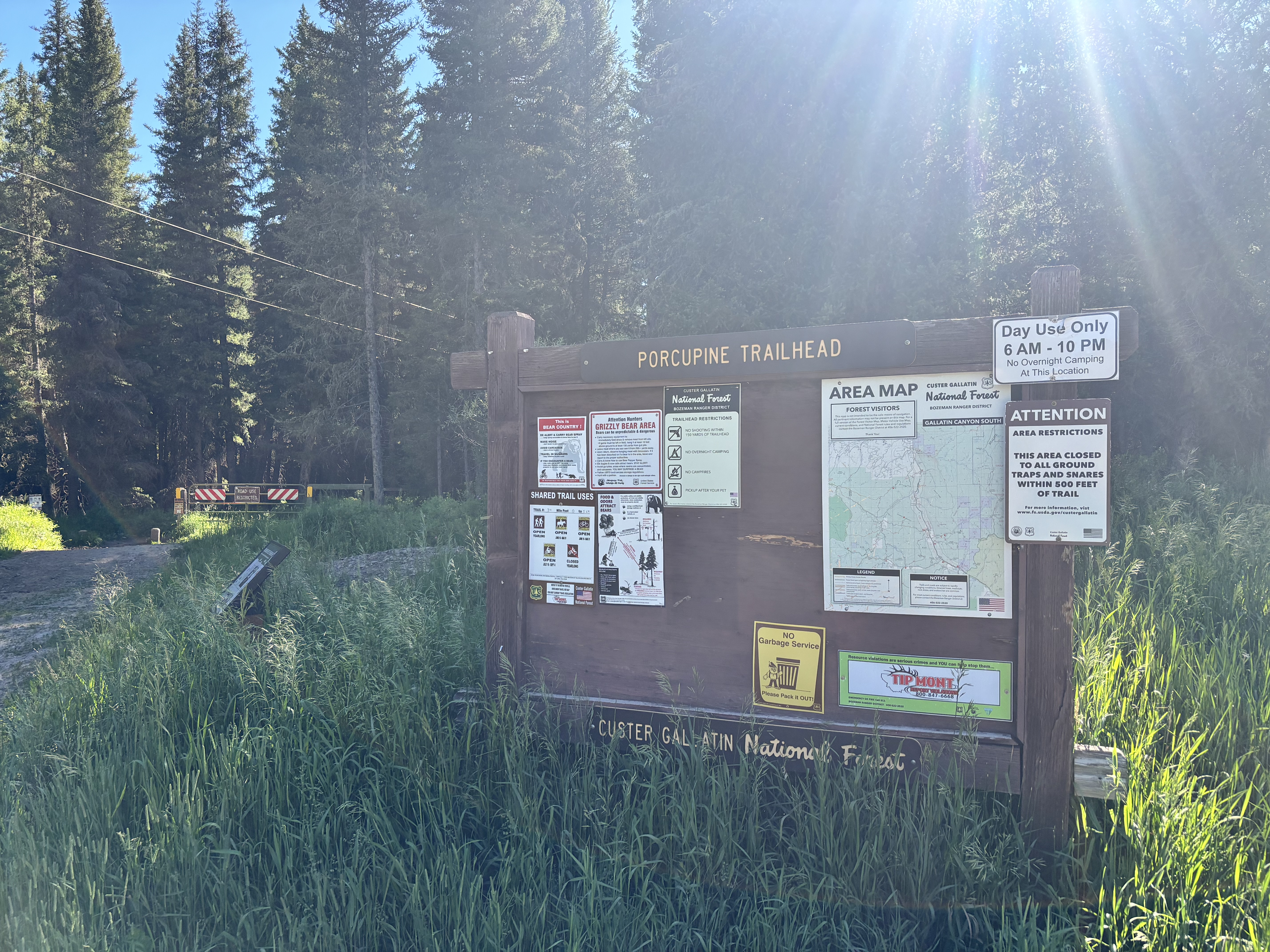
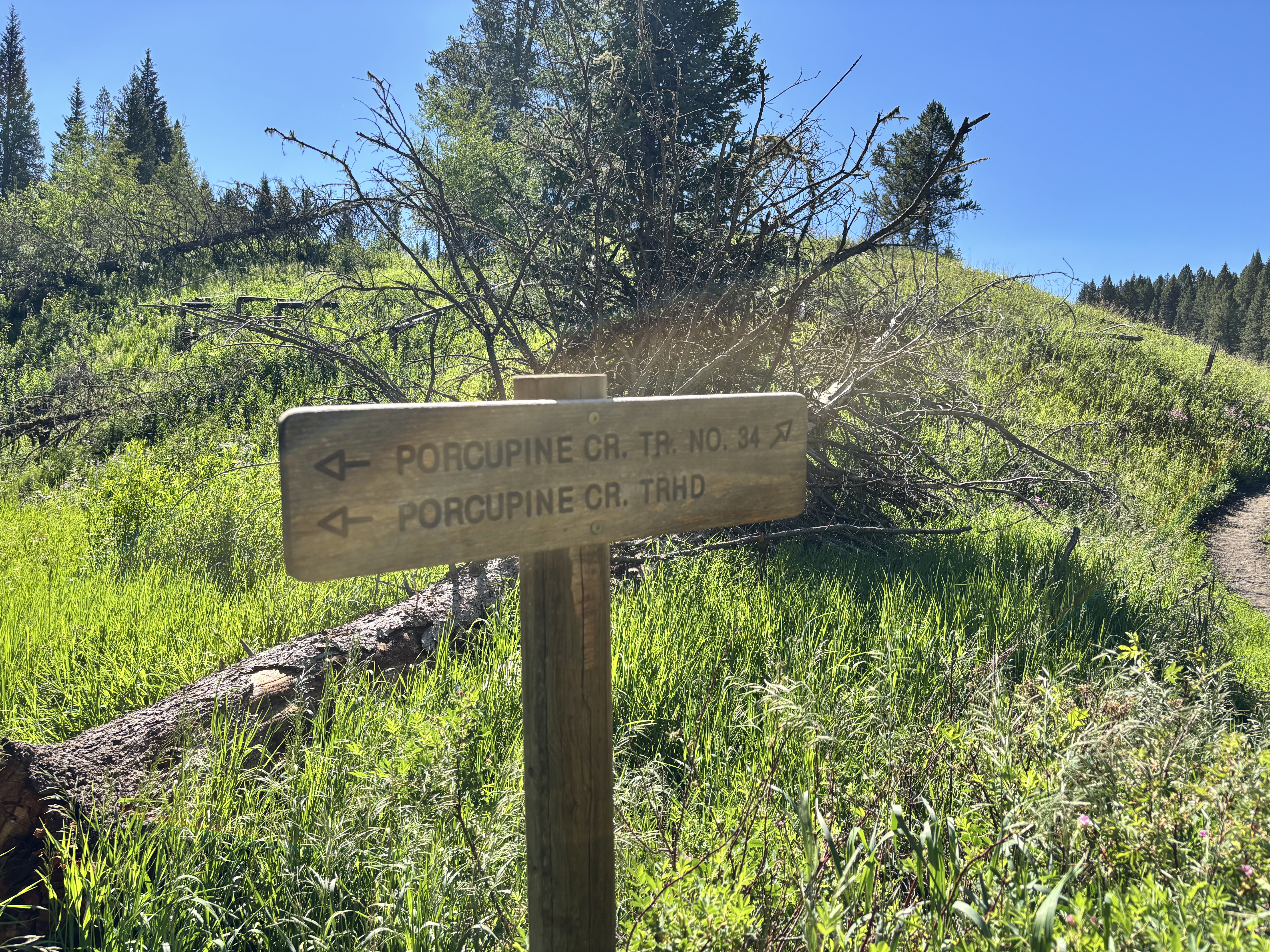
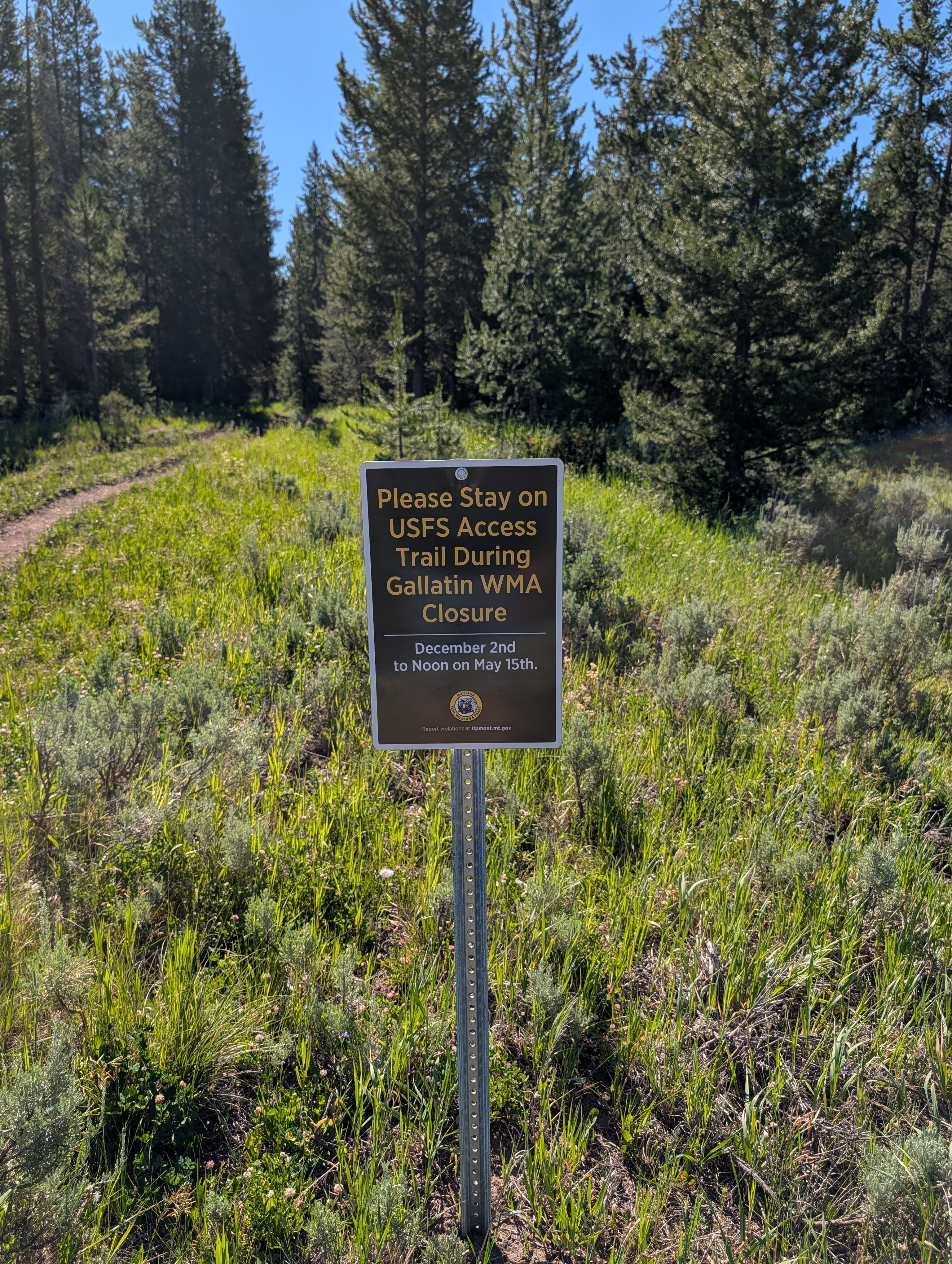
From Big Sky, drive south on U.S. Highway 191 toward Gallatin Canyon. Turn left onto Porcupine Creek Road just south of Ophir School, then follow the short access road to the signed Porcupine Trailhead. The lot is gravel and generally straightforward to reach in normal summer conditions. The trailhead has posted maps and access notices; read them before heading out because local closures and permitted uses can change.
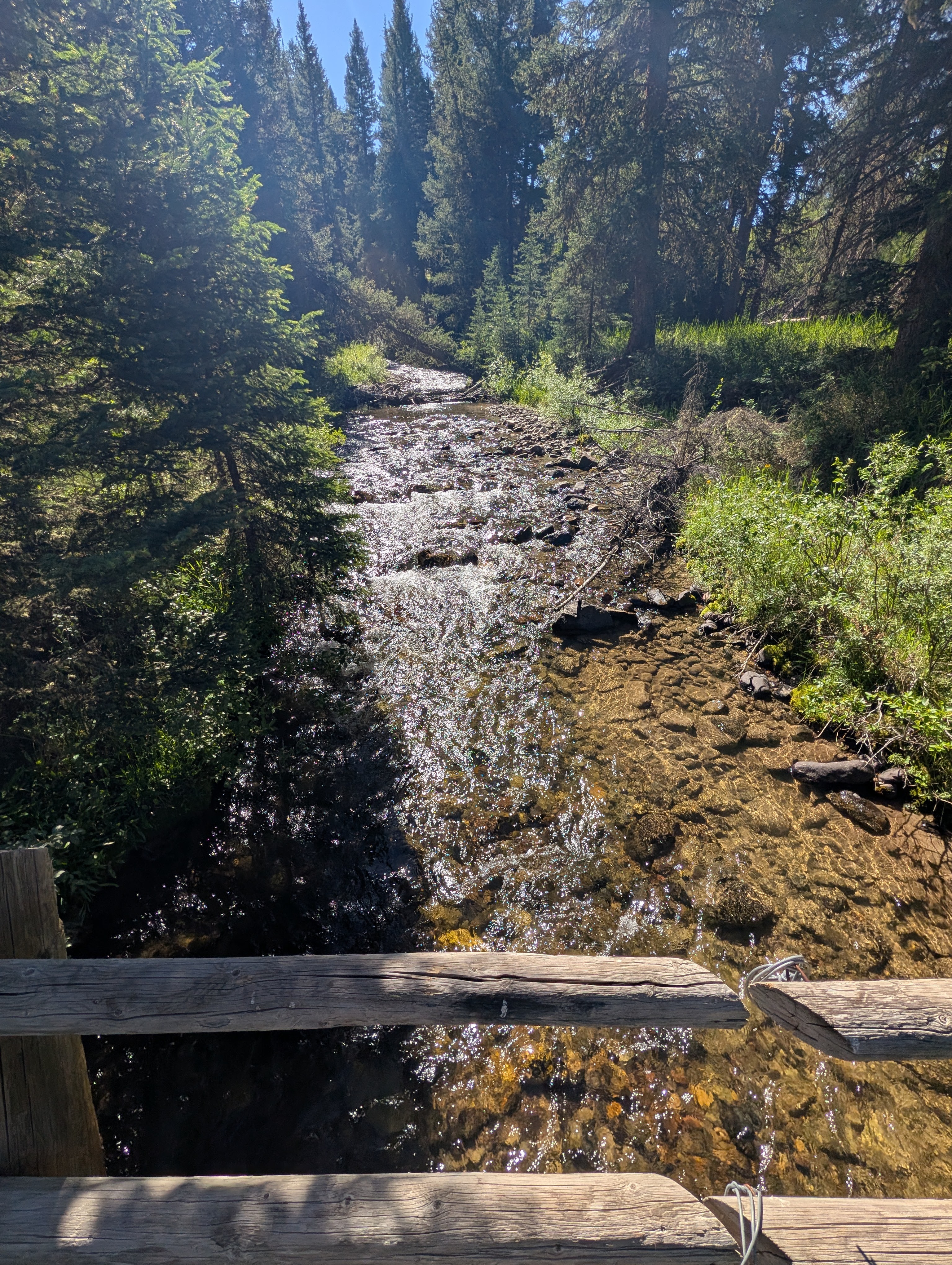
Porcupine Creek is present along the route, but it is not treated water. Carry your own drinking water. During runoff, the crossing can be deeper, colder, and more slippery than it looks; bring poles if your group is not confident on wet rocks.
32 oz consumed per person
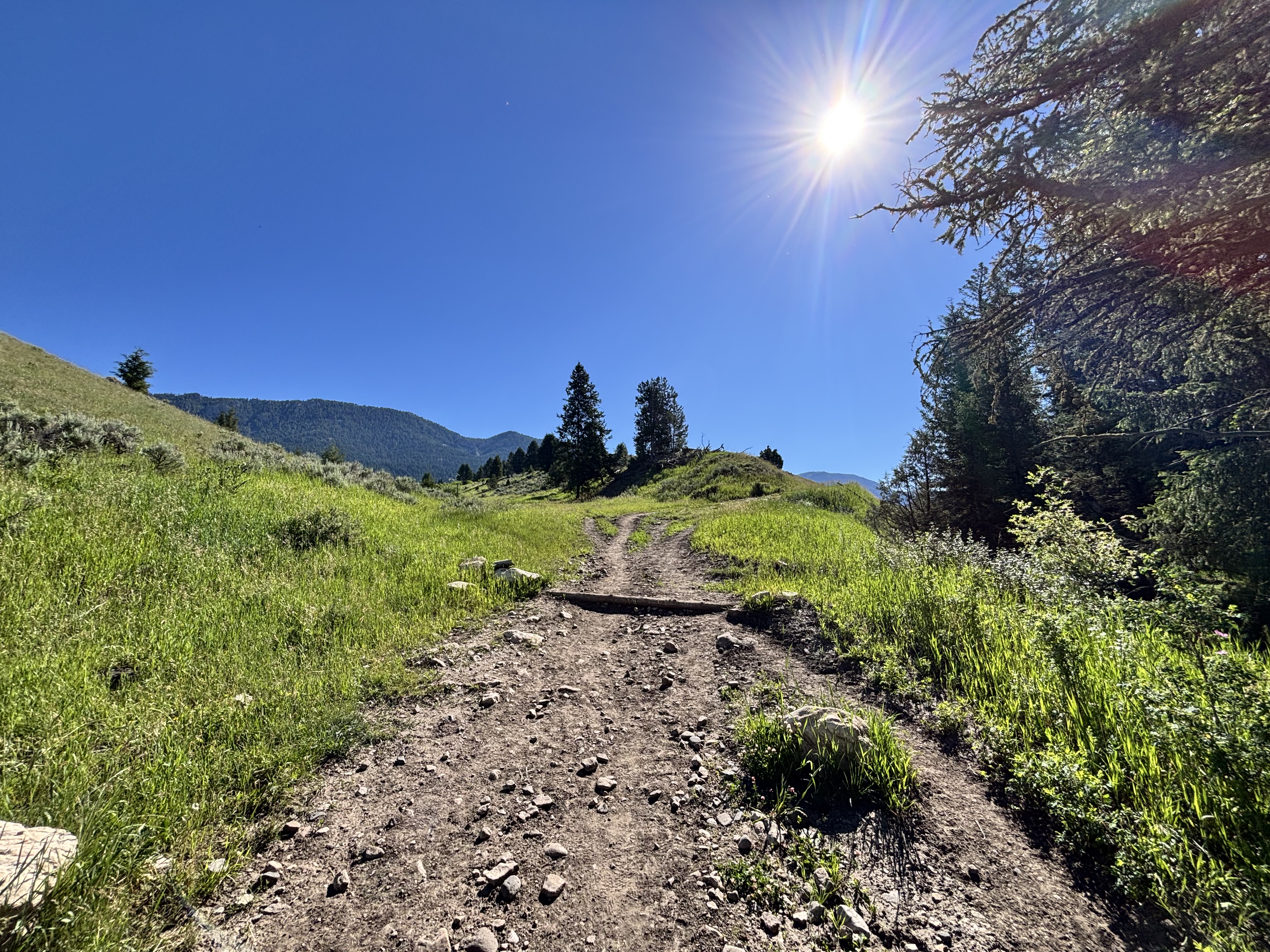
Expect grassy two-track and singletrack, forest shade, exposed roots, loose rocks, low wet spots, and a creek crossing. Mud is common after rain and during runoff. Do not create new braided paths around wet sections; slow down, stay on the established route, and turn back if the crossing or tread is beyond your comfort level.
Wear sturdy hiking shoes or boots for mud, wet grass, roots, rocks, and the creek crossing. Long pants help with brush, ticks, and the flies that gather around midsummer horse use. Bring bug spray, sun protection, a light layer, and bear spray carried where you can reach it.
Footwear: Hiking Boots
A snack is enough for most hikers on the standard route. Bring more food if you are extending into the larger trail network, hiking with children, or spending time watching wildlife and wildflowers.
Flies and mosquitoes can be a serious midsummer annoyance, especially around grassy sections, water, and horse manure. Bug spray and long pants make a noticeable difference; breezy mornings and cooler days are more comfortable.
The route alternates between shaded forest and exposed meadow. The open sections are beautiful but can be hot in midday sun.
Use this as a day hike. Longer backcountry objectives require a separate route and current Forest Service planning.
Porcupine Creek Extended Loop
The drainage connects into a larger route network. The extended loop is approximately 7.7 miles and is a real step up from the standard out-and-back: expect more route-finding, wet or muddy ground, and a greater wildlife commitment.
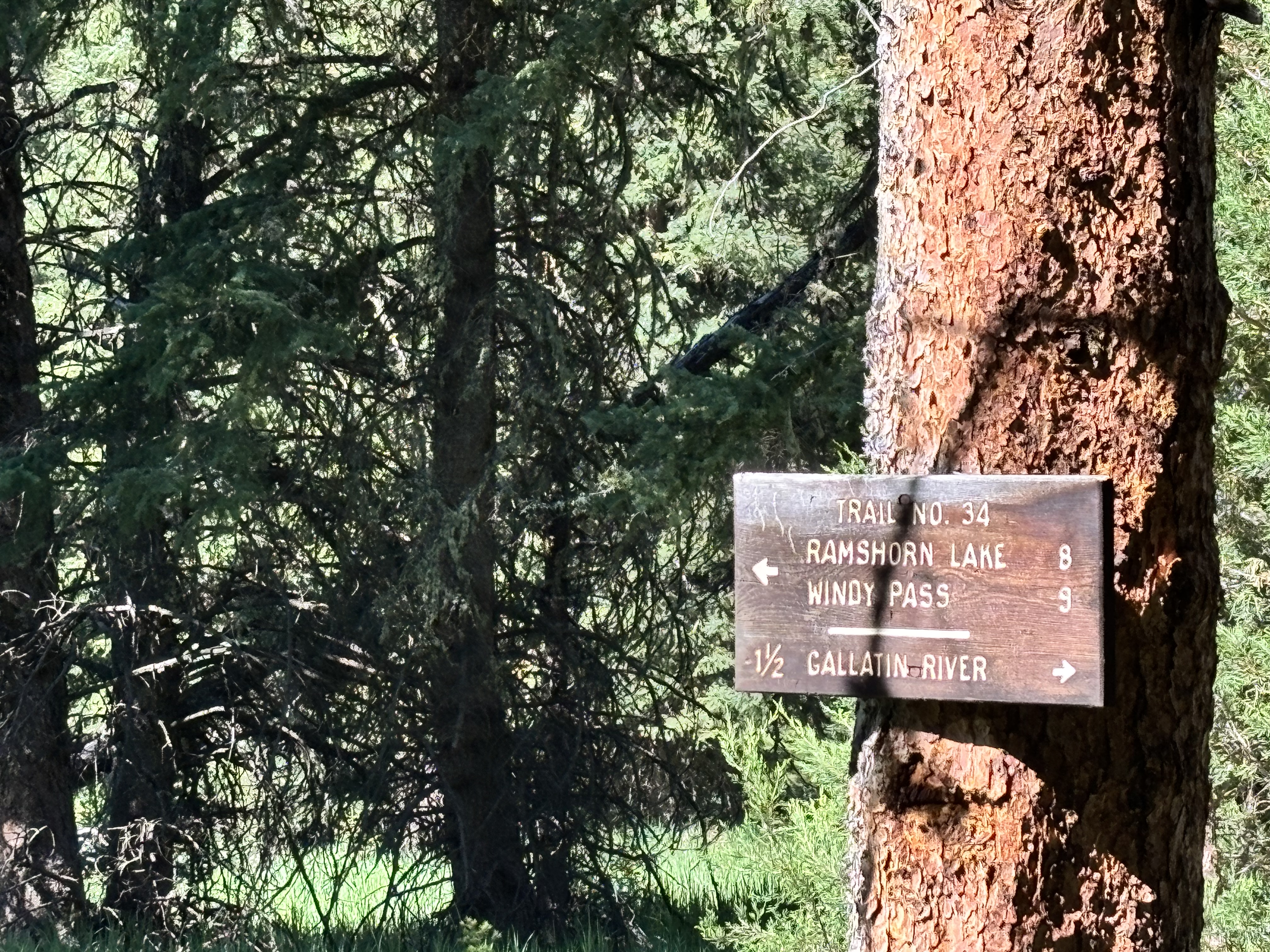
Trail #34 beyond the standard turnaround
Trail #34 continues toward longer backcountry destinations. Only continue with an offline map, adequate time, and current access information.
Use the signed trailhead map and carry an offline map for the main route and any extension. The primary out-and-back is simple in dry conditions, but snow, muddy crossings, and the larger network make a downloaded map worthwhile.
Late spring through fall can be good when the route is open and conditions are dry enough for your group. The greenest, flower-filled period often overlaps with runoff and mud, while midsummer brings more horse traffic, heat, and flies.
Late May through June can bring lush grass and wildflowers, but verify current access restrictions and expect higher water and mud.
September and early fall can offer cooler temperatures, fewer bugs, and quieter hiking, though mud can return after rain and daylight shortens quickly.
Avoid relying on this as a winter or early-spring hike without checking current closures. Snow can hide route cues and Gallatin WMA restrictions may limit access.
The standard Porcupine Creek route is a 3.6-mile out-and-back with about 390 feet of elevation gain. A separate extended loop in the same broader area is roughly 7.7 miles and is a more committing route.
Usually, yes. The normal out-and-back has modest elevation gain and gradual terrain. It can feel more moderate after rain or during runoff because of mud, roots, wet grass, loose rocks, and the creek crossing.
Yes, the standard route includes a creek crossing. Water level and footing vary with season and weather. Expect wet feet during runoff and use poles or turn around if it is not comfortable for your group.
Yes. Horses are common, especially in midsummer. Expect manure on grassy sections, give riders room, and keep dogs controlled.
Dogs are welcome, but they should be under close control and leashed where required because the trail is shared use and passes through important wildlife habitat.
Access and allowed uses depend on current Gallatin WMA and Forest Service restrictions. The trailhead has posted notices, including seasonal WMA access information. Check current agency information and the kiosk before you hike.
Plug 3.6 miles and 390 feet of elevation gain into our free hiking time calculator for a personalized estimate.