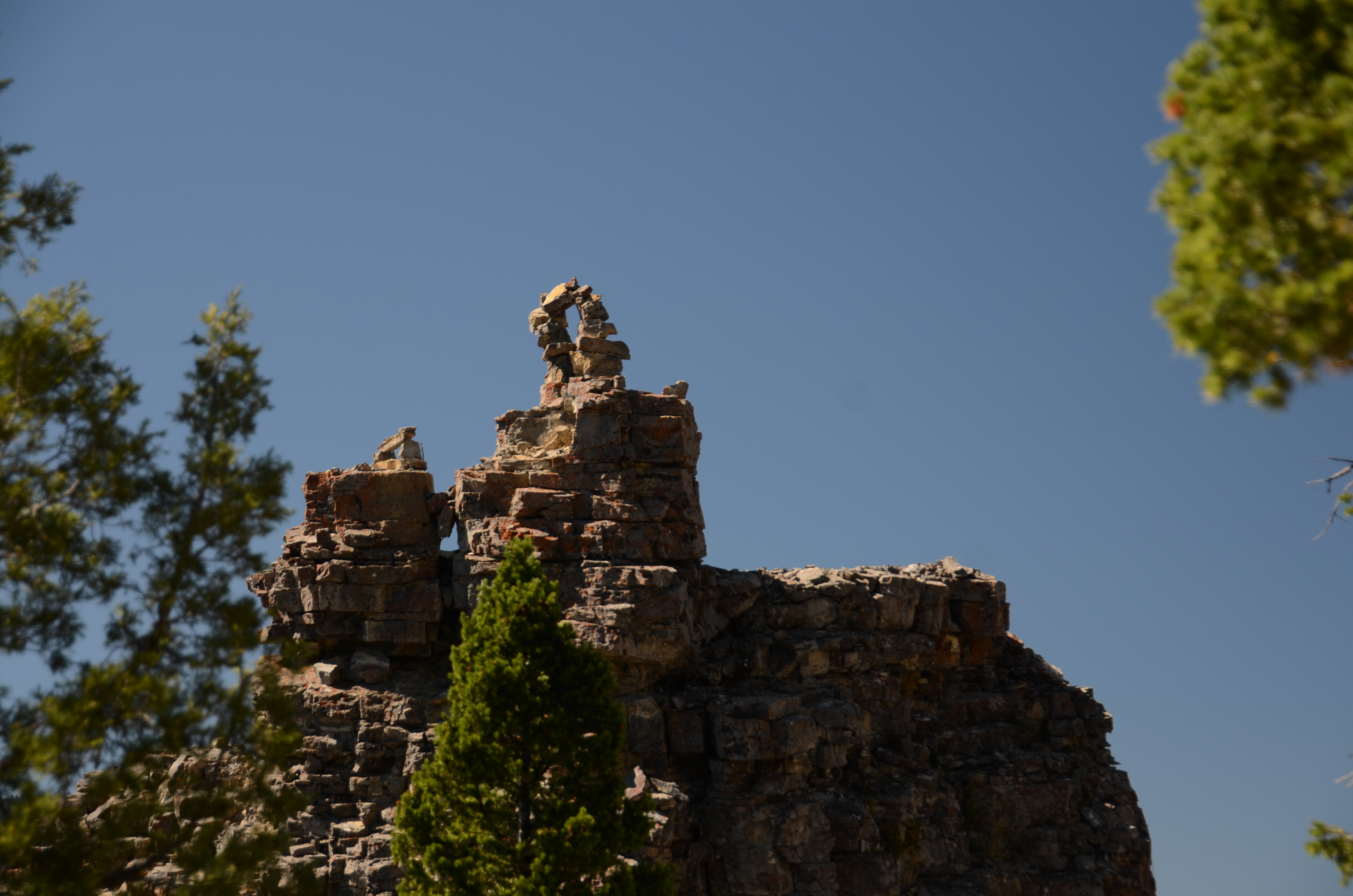
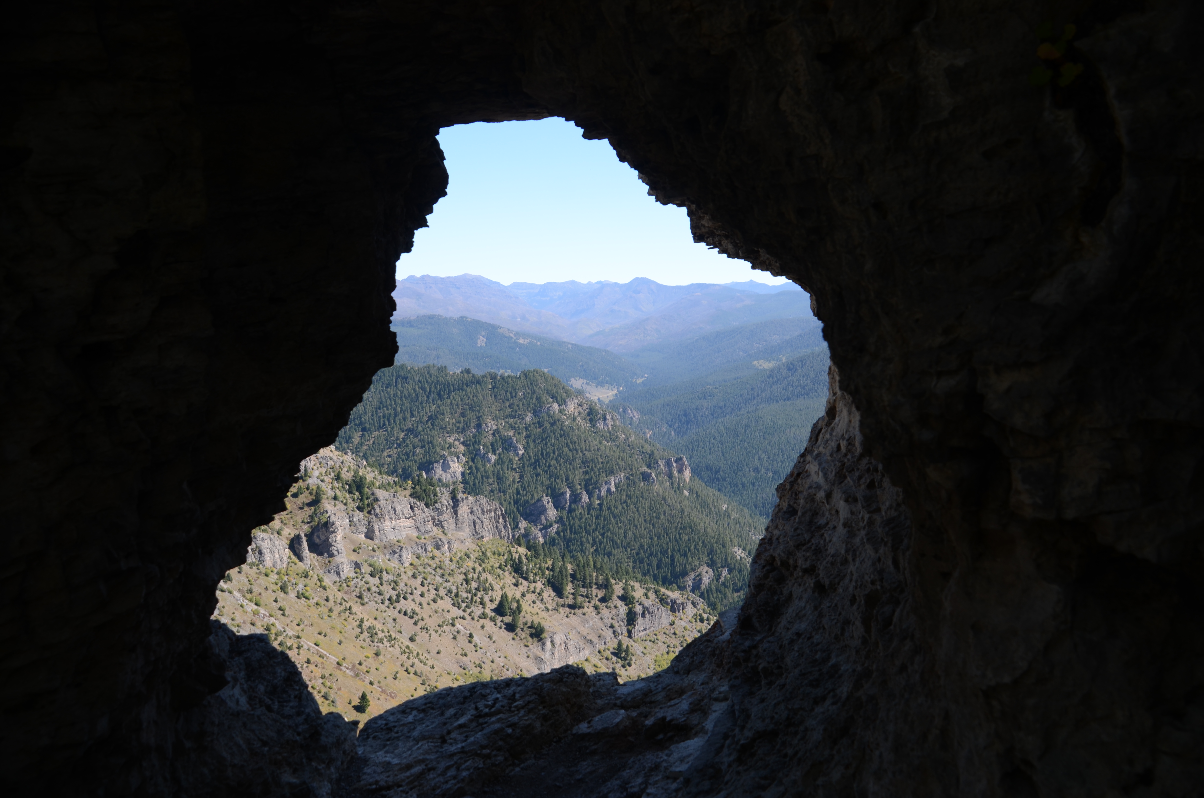
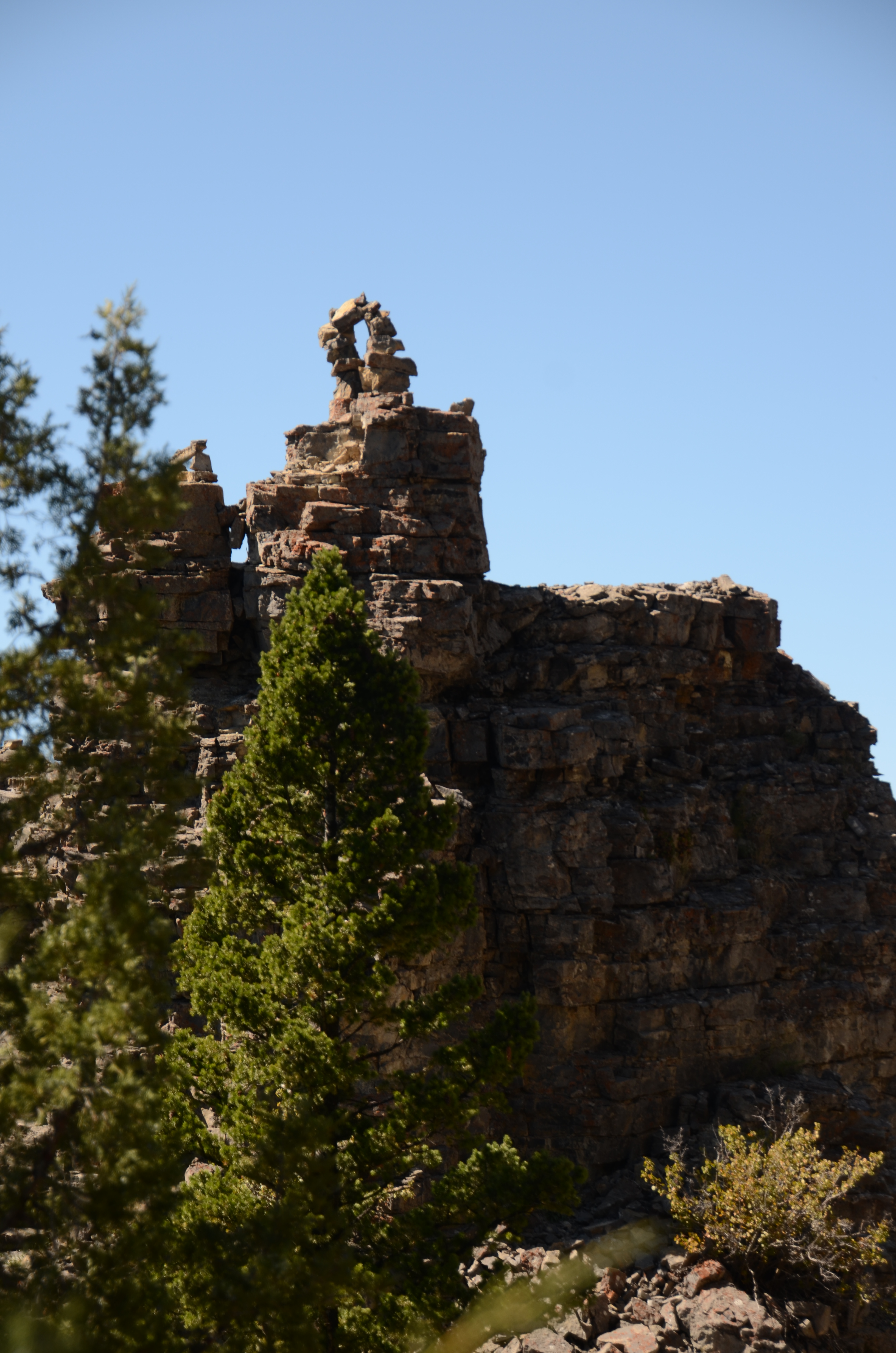
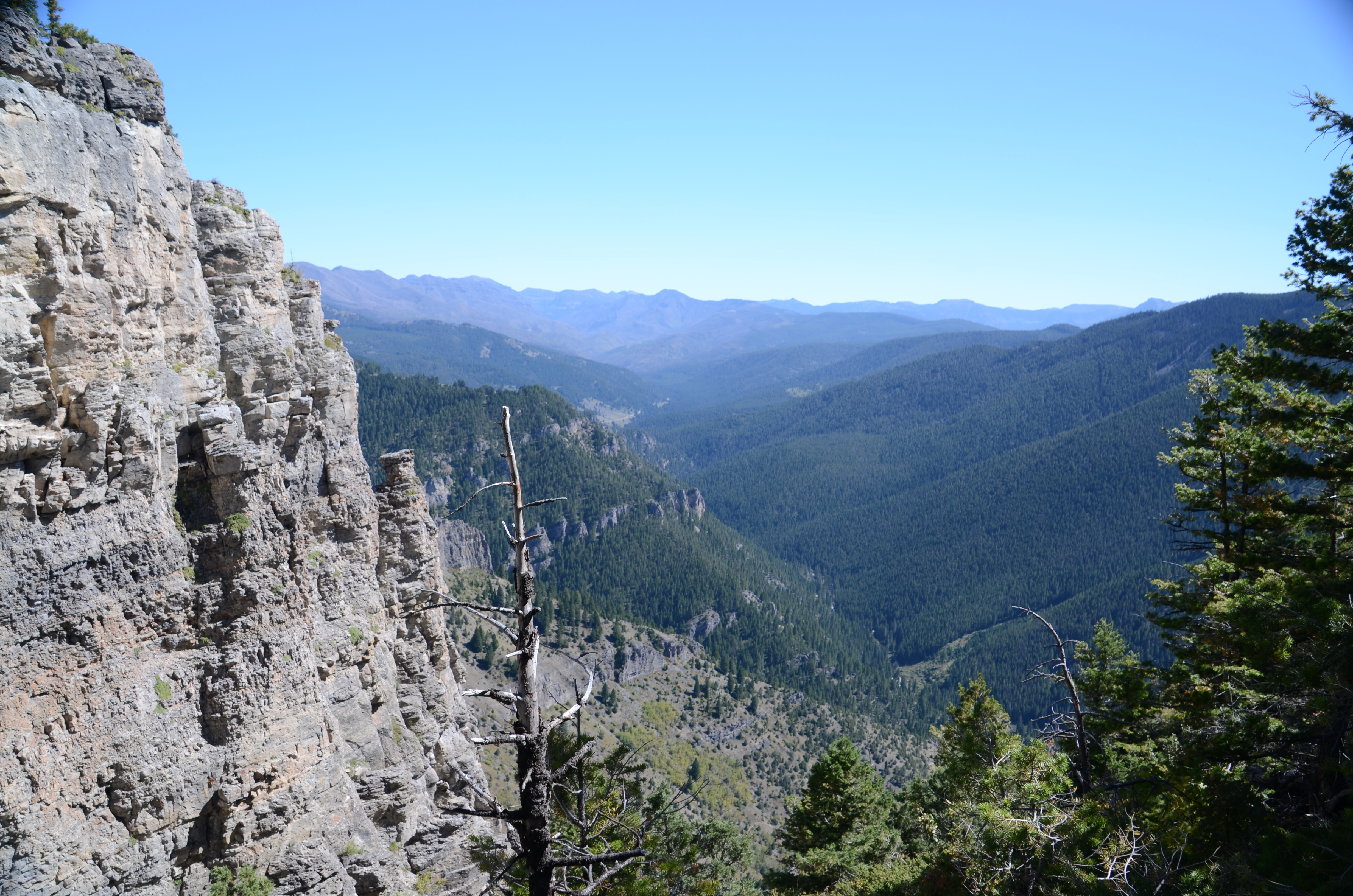
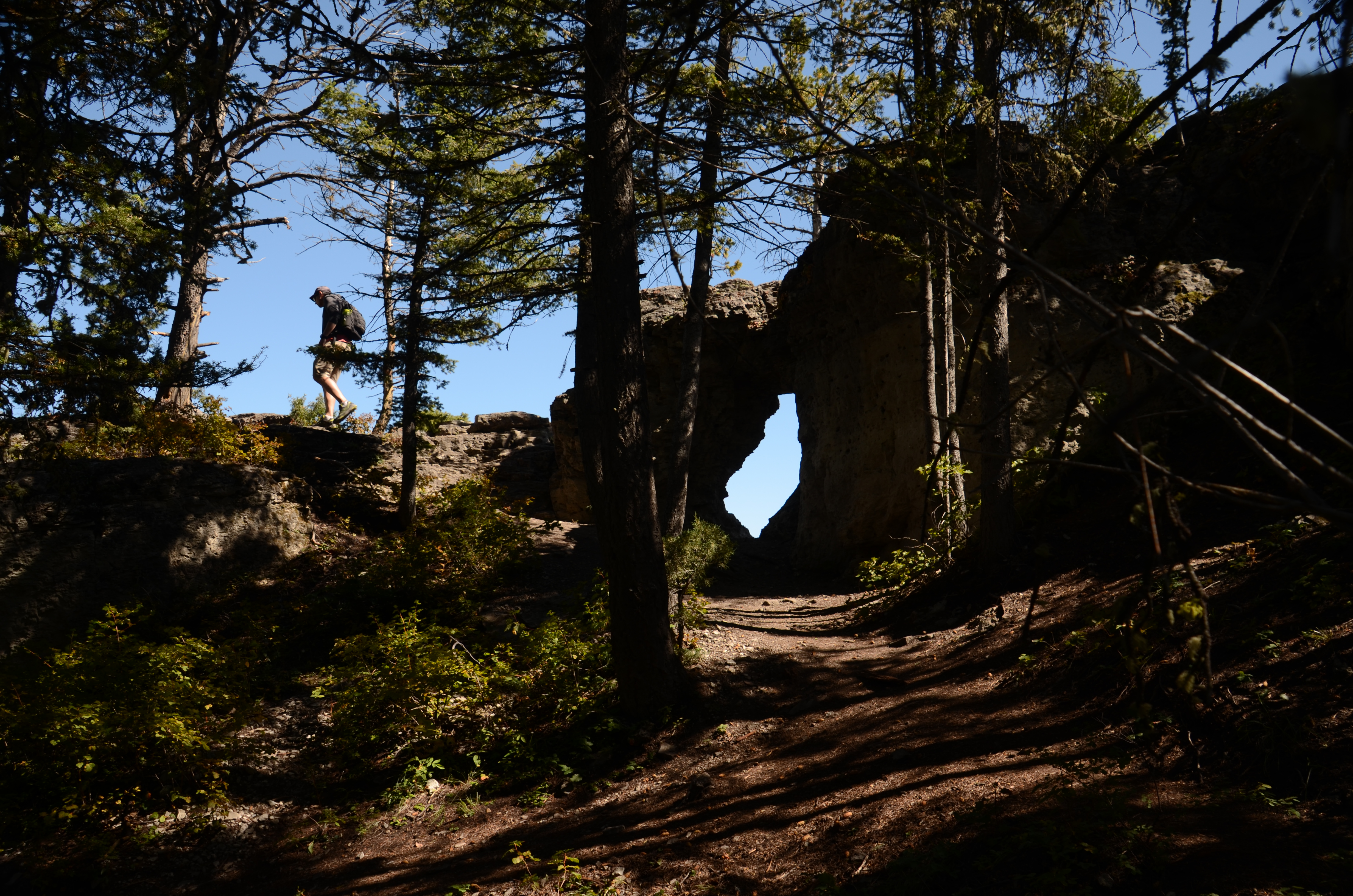
Storm Castle is one of the few summit hikes near Bozeman where the destination looks like something. The limestone formations at the top are genuinely castle-like, battlements and turrets visible from Highway 191 far below. The natural arch near the lower cliffs is worth the short scramble to reach, and most people who skip it wish they hadn't.
The trail earns the Strenuous rating on the way down more than the way up. The steady switchbacks on the climb are well-designed and feel manageable. The descent on loose rock requires constant attention, and trekking poles make a real difference. The limestone reflects heat significantly in summer, so the upper half can feel 15 degrees hotter than the valley. Start by 7am on summer weekends, be below the treeline before midday, and bring more water than you think you need.
The parking area is a small gravel lot that fills fast on weekends. Arrive early or plan for a weekday. Overflow parking is possible along the road, but the lot fills before 9 AM on busy summer mornings.
No facilities at the trailhead. Take care of business before you leave Bozeman or Gallatin Gateway.
Storm Castle is a popular trail and the summit shows it on weekends. The limestone outcrop at the top is not large, and on a busy Saturday you can find yourself sharing it with several dozen other people. Go early or go on a weekday and the whole experience is a different hike.
Highway 191 to the turnoff is paved and in good condition. Storm Castle Road is about 2 miles of rough, bumpy gravel that gets dusty in summer. A regular car will make it. The gate to the access road opens mid-spring, so check conditions before heading out early in the season.
You will be out of service for the entire hike. Let someone know where you are going before you leave.
Dogs do fine on this trail if they are in good shape and handle heat well. There is no water on the trail, so bring enough for your dog and plan carefully on warm days. The limestone summit gets very hot.
26 Miles from Bozeman, MT. 36 Minutes
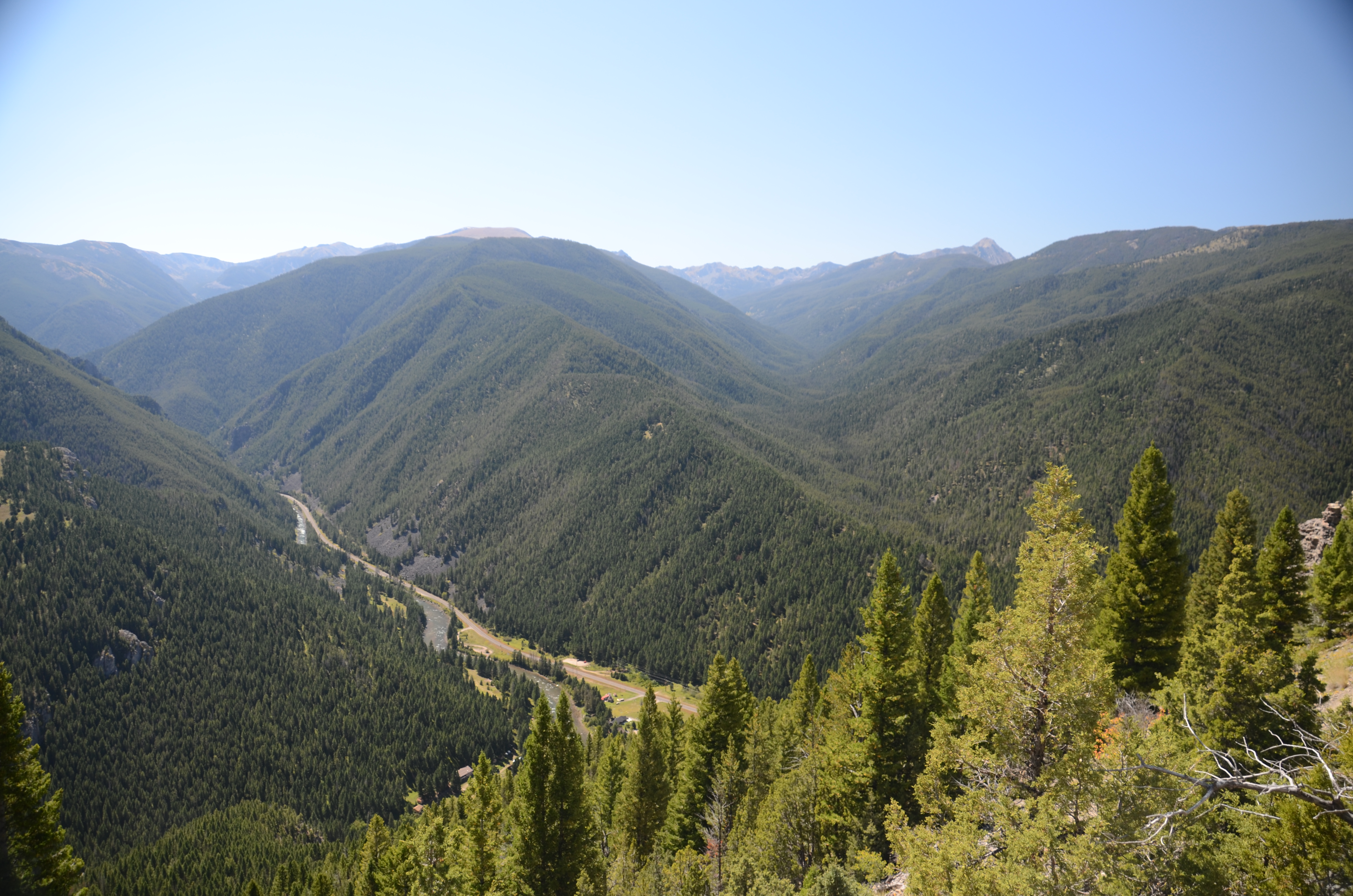
From Bozeman, head south on Highway 191 through the Gallatin Canyon. Watch for Storm Castle Road between mile markers 65 and 66. Turn left onto Storm Castle Road, cross the Gallatin River bridge, and continue about 2 miles on gravel to the parking area on your left.
The access road is rough, bumpy, and dusty. A standard car will handle it, but take it slow.
There is no reliable water on the trail. The Gallatin River is at the bottom and the climb is dry all the way to the summit. Bring everything you need from the trailhead. On a warm day on an exposed, south-facing limestone slope, 48 ounces is a minimum, not a target.
48 oz consumed per person
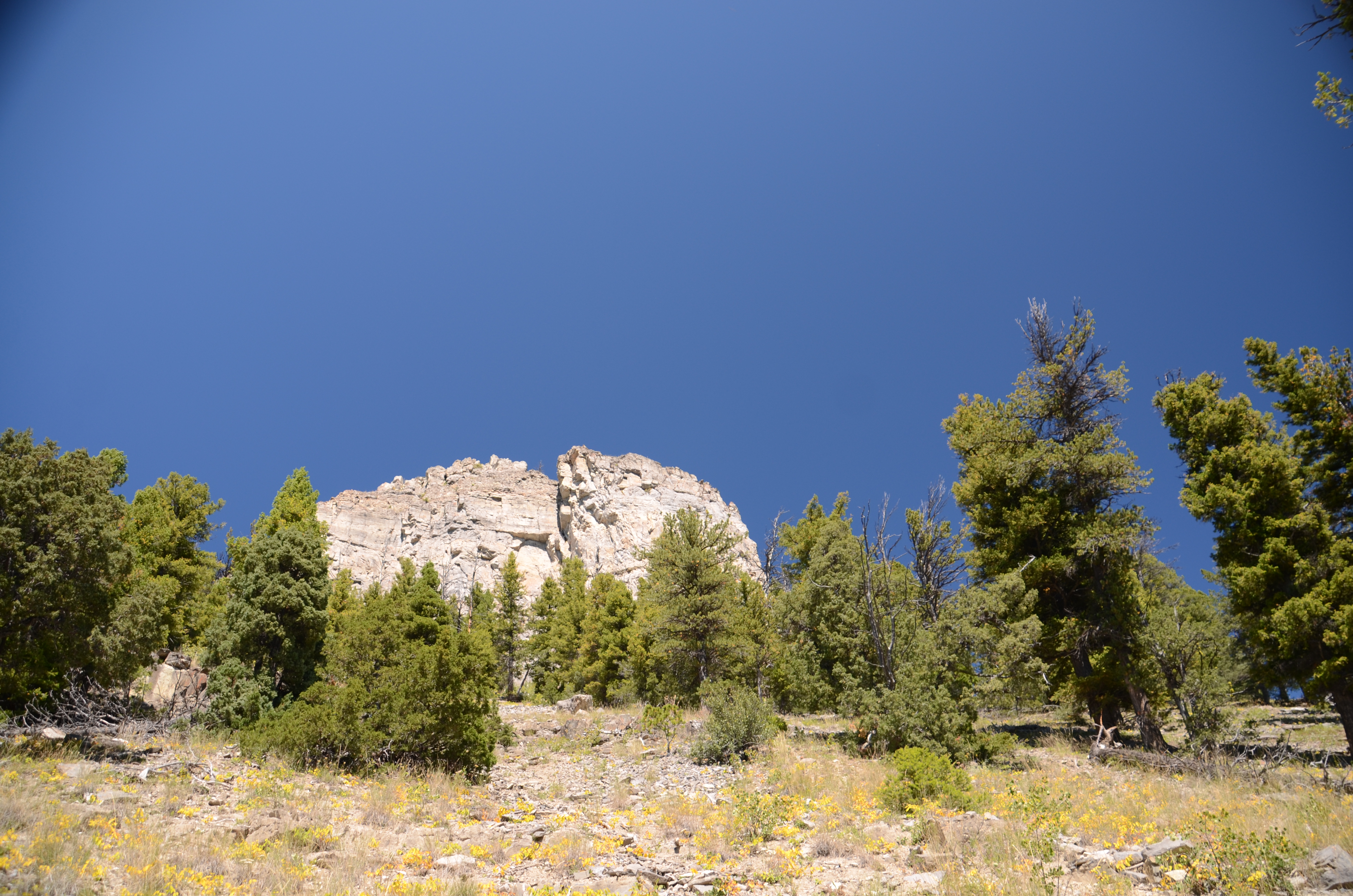
The switchback trail is well-worn and straightforward to follow. The upper sections feature loose rock that gets slippery when wet and is rough on footwear even when dry. Avoid this trail in wet or icy conditions. The limestone summit requires some easy scrambling but no technical gear. Watch your footing on the descent.
Bring trekking poles. Everyone who writes about Storm Castle Peak focuses on the cardio cost of the climb, but the steep, loose rock on the way down is what tends to leave people sore for two days. Poles make a real difference on the descent and they are worth carrying just for that.
Sun protection from head to toe is not optional on this trail. The upper half is fully exposed on a south-facing limestone slope, and that rock is not just sitting in the sun, it is actively reflecting heat back at you. When the temperature at the trailhead is 75 degrees, it can feel 15 to 20 degrees hotter on the upper switchbacks by late morning. Start early, and try to be back below the tree line before the midday sun hits that rock face. Bring more water than you think you need.
Footwear: Hiking Boots
At 5 miles with nearly 1,900 feet of gain, bring a real lunch. Pack it somewhere accessible. You are not going to want to dig through your bag mid-switchback, and the summit is a worthwhile place to sit and eat.
Ticks are a real concern in spring, especially in the lower forested sections. Check yourself thoroughly after the hike from April through June. Higher on the trail in summer, cicadas are loud and constant on the climb. On warm days at the summit itself, flying ants sometimes swarm the top in numbers that will catch you off guard.
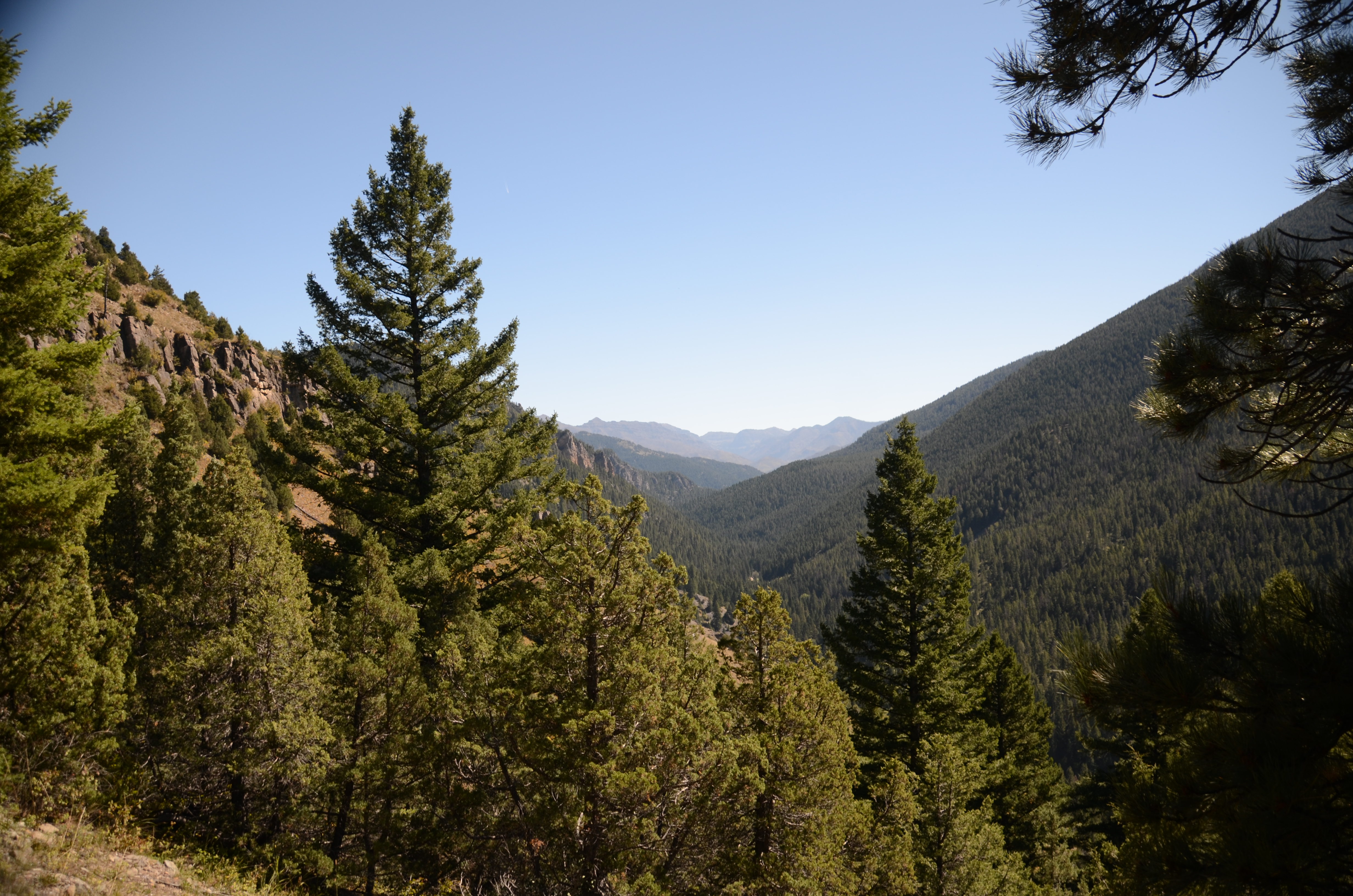
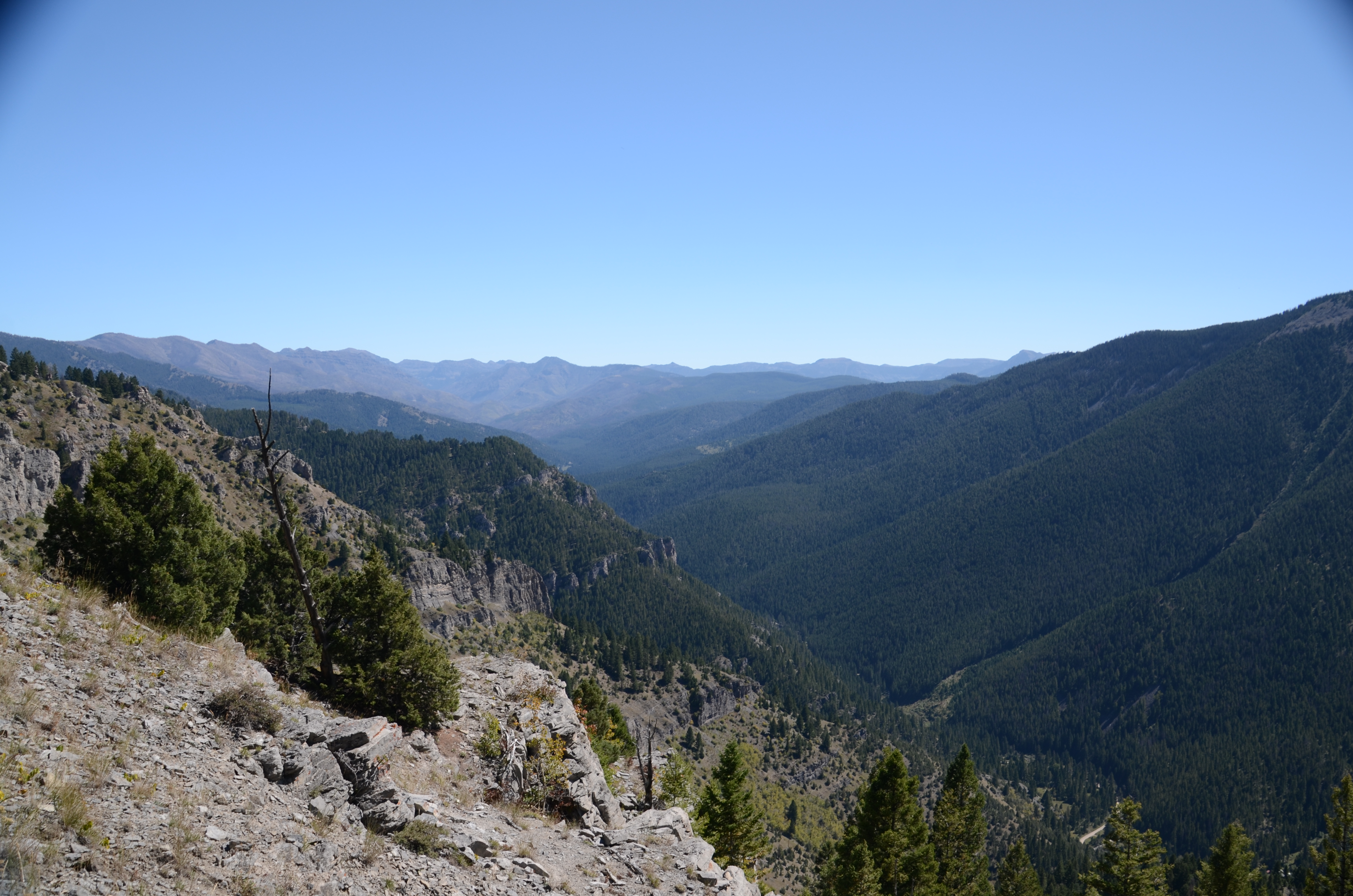
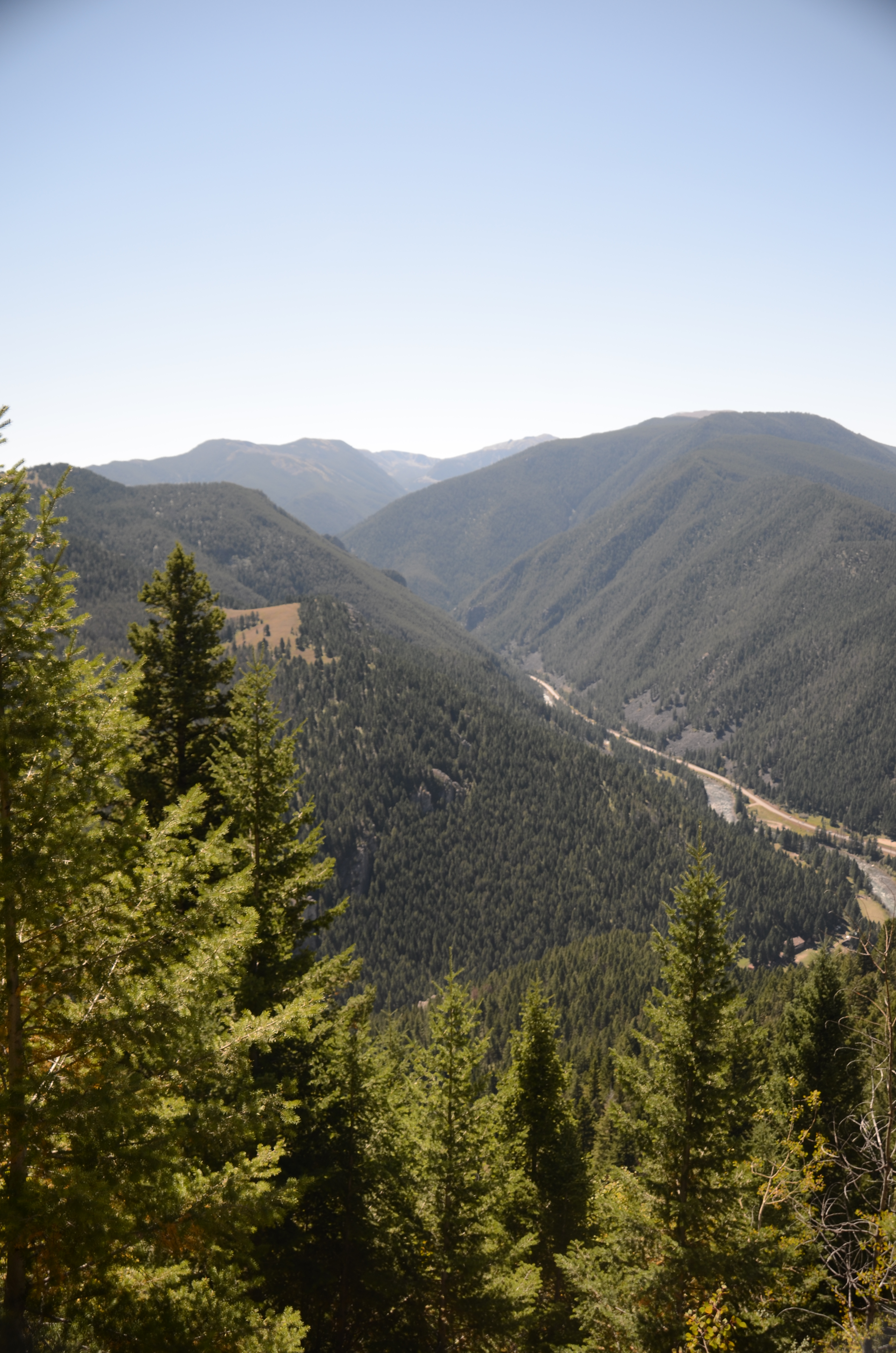
The lower half of the trail runs through pine and aspen forest with decent shade. Above the tree line you are fully exposed on the open limestone. Expect full sun on the upper switchbacks by mid-morning.
Storm Castle Peak is a day hike with no established camping at the summit. If you want to stay in the canyon, campgrounds are accessible along Highway 191.
Summit Loop
A short trail wraps around the back side of the limestone peak and is worth doing before you head down. The different angle changes the view considerably and gives you access to the natural limestone arch near the lower summit cliffs. Most people who skip it wish they hadn't.
Beartooth Publishing's Bozeman Area Map covers this whole hike.
Late May through October. The access gate opens mid-spring and the road is rough in early season. The exposed limestone on the upper trail bakes in summer midday heat, so early morning starts matter most from late June through August.
Late May through June and September: cooler temperatures make the exposed limestone more comfortable, the Gallatin is running high in June, and September has excellent visibility and no crowds.
July through August: peak season for views and access, but start before 7am to beat heat on the limestone and be back below treeline before midday.
April and early May: the access gate may not be open yet. Spring ticks in the lower forest are a real concern April through June.
Harder than most trail descriptions suggest. The loose rock on the steep grade back down requires constant attention and will work your quads and knees significantly. Trekking poles make a real difference specifically for the descent.
No. The trail is dry from the trailhead to the summit. Bring everything you need from the car. On a hot day on exposed limestone, 48 ounces is a minimum, not a generous estimate.
There is a natural limestone arch near the lower summit cliffs, accessible via a short loop trail around the back side of the peak. It frames the canyon view for photos and is worth the scramble. Most people who skip it wish they hadn't.
April through June in the lower forested sections. Check yourself thoroughly after the hike. Higher on the trail and at the summit, ticks are less of a concern, but the lower approach is worth attention in spring.
Before 8am on summer weekends. The lot is small and fills fast on busy days. Overflow parking along the road is possible, but the lot situation is consistently mentioned by visitors as a frustration on warm Saturdays.
Plug 5 miles and 1,880 feet of elevation gain into our free hiking time calculator for a personalized estimate.