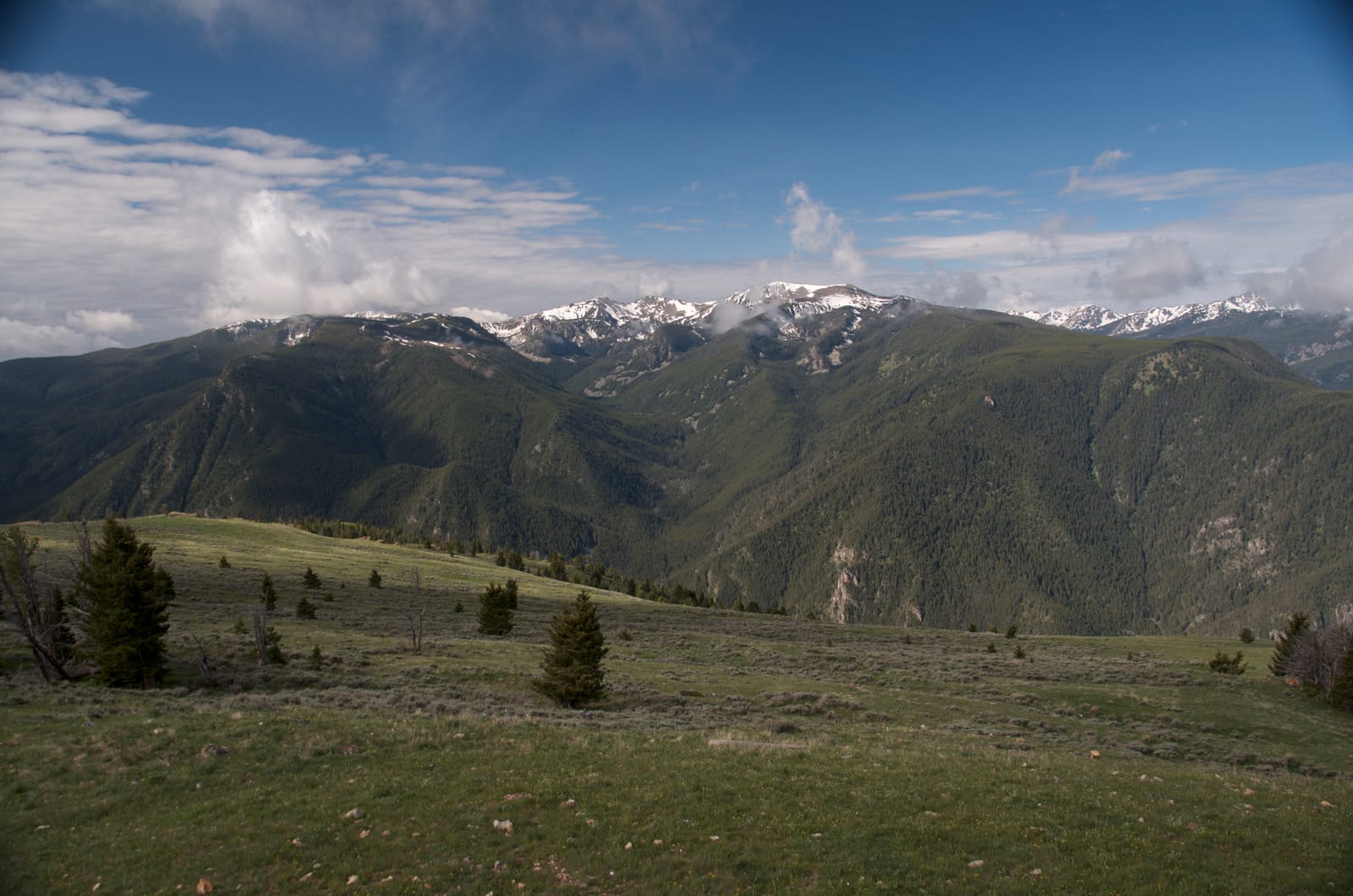
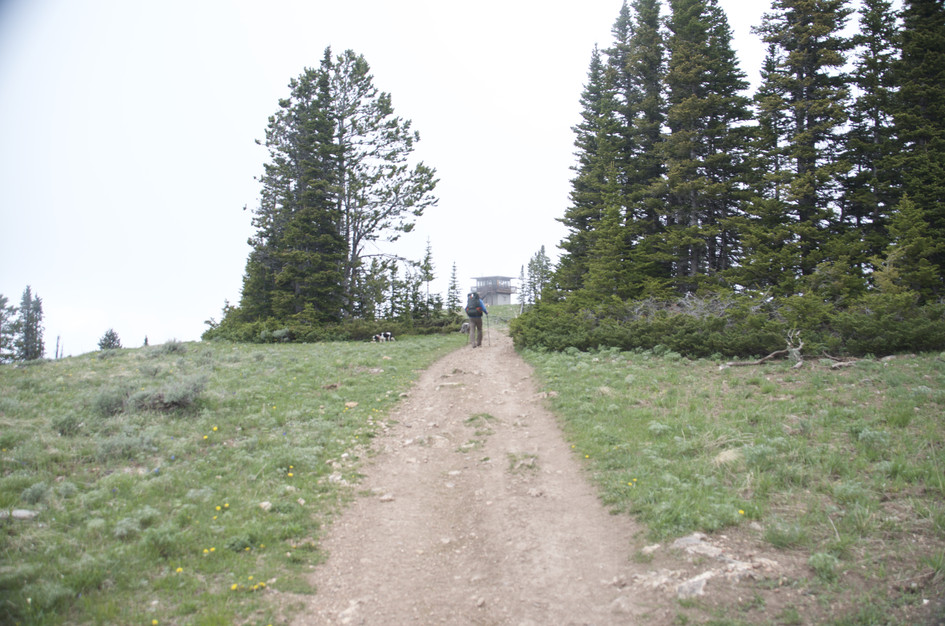
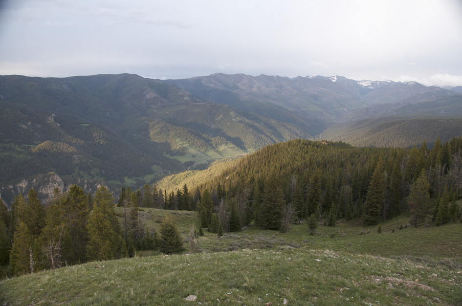
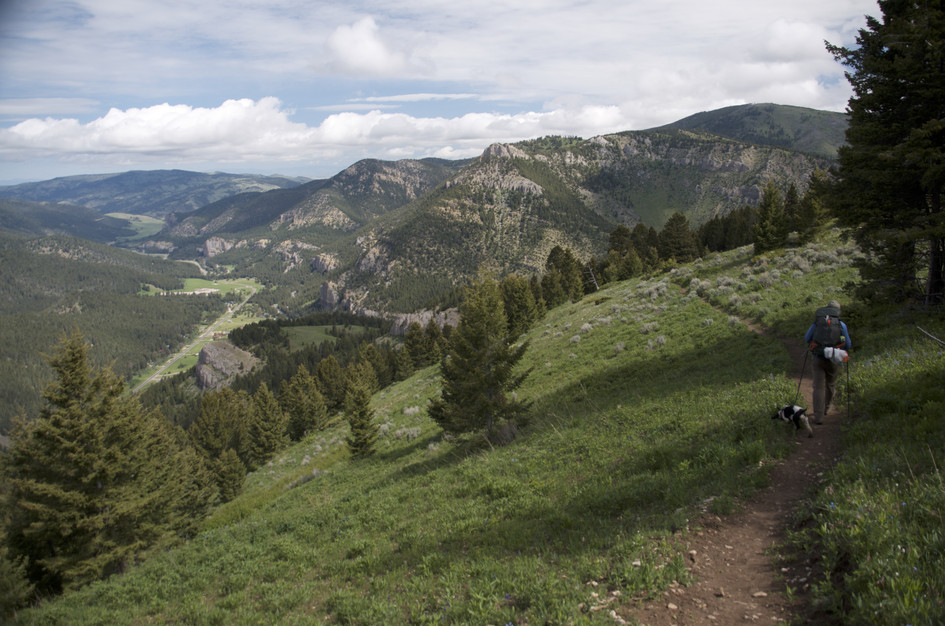
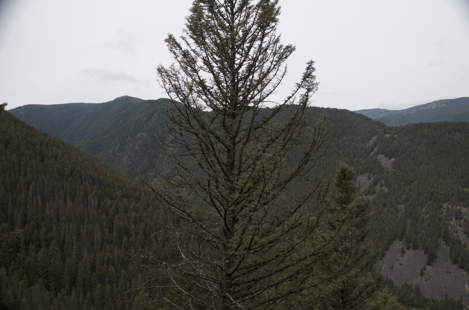
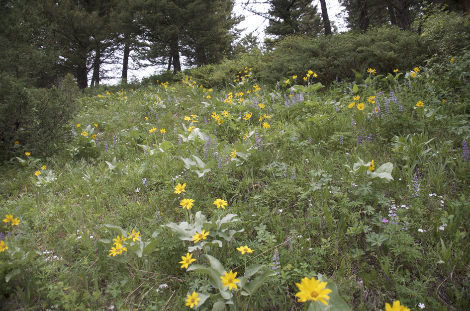
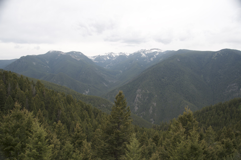
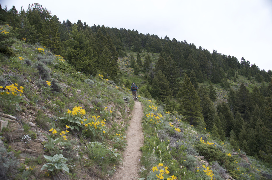
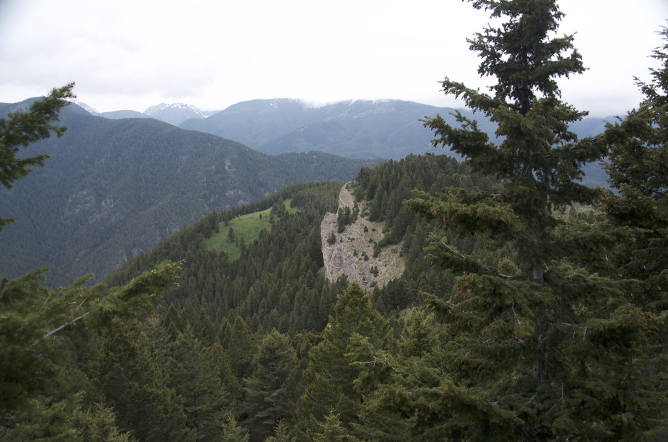

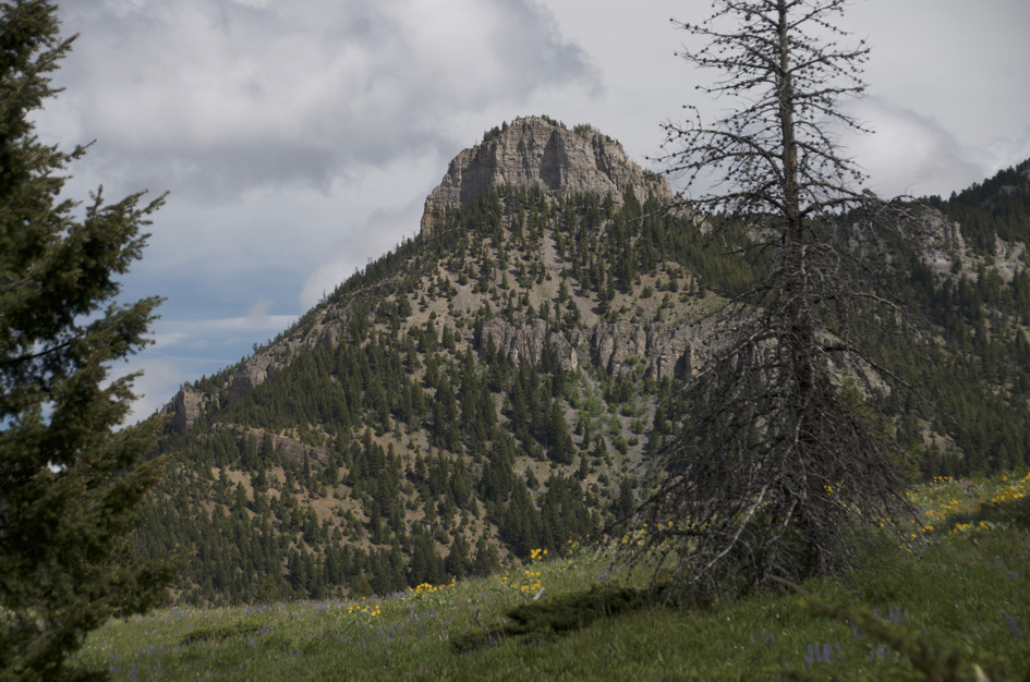
Garnet Mountain has one of the better summit destinations in the Gallatin Canyon area: a 1962 Forest Service fire lookout that still stands in good shape, surrounded by views that include the Spanish Peaks, the Hyalite Ridge, and Storm Castle below. The trail climbs 2,776 feet in 4 miles through forest with wildflowers in the lower meadows, and earns its Strenuous rating on the final mile where the grade steepens.
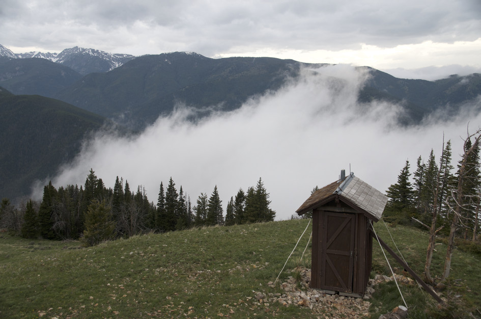
The fire lookout at the top is a real cabin with a view deck, not just a summit cairn. If you want to see it from the inside and wake up to those views, it is bookable through Recreation.gov. The trail gets less foot traffic than Storm Castle despite sharing a trailhead, which means the summit tends to be quiet even when the parking lot is full. Bring water. There is nothing between the trailhead and the lookout.
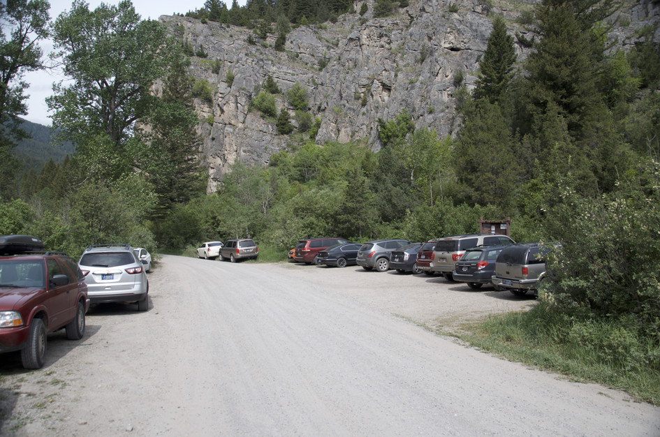
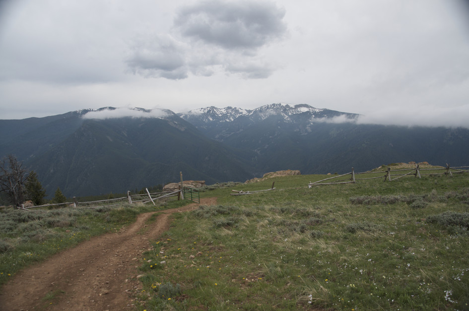
The parking lot is small and this hike shares a trailhead with the popular Storm Castle Trail. Plan on getting there early to find a spot or you'll end up parking in the bushes on the side of the road.
There are lots of popular hikes nearby. The trailhead will feel busy, but most of that traffic will be headed up Storm Castle.
Parts of Storm Castle Road are lined with unavoidable potholes. It's passable, but rough.
No service until you get to the top, then you'll get a couple of Verizon bars.
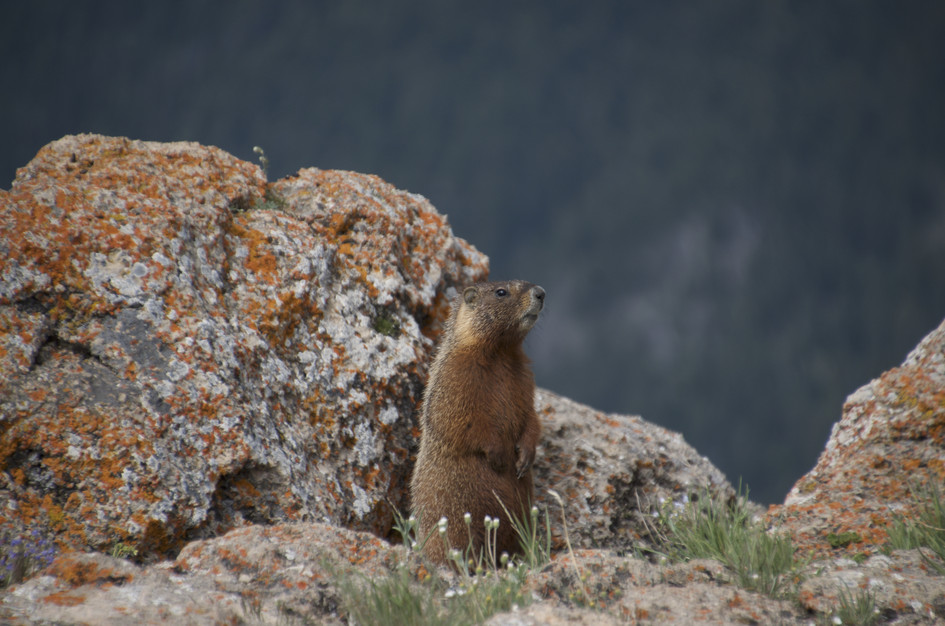
Only bring your dog if you're able to carry enough water for them.
26 Miles from Bozeman, MT. 36 Minutes
Head south on Highway 191 from Bozeman. After turning left out of Four Corners, drive 16.7 miles until you see a sign for Storm Castle Road. Take a left. If you cross the bridge near the Lava Lake trailhead, you've gone too far.
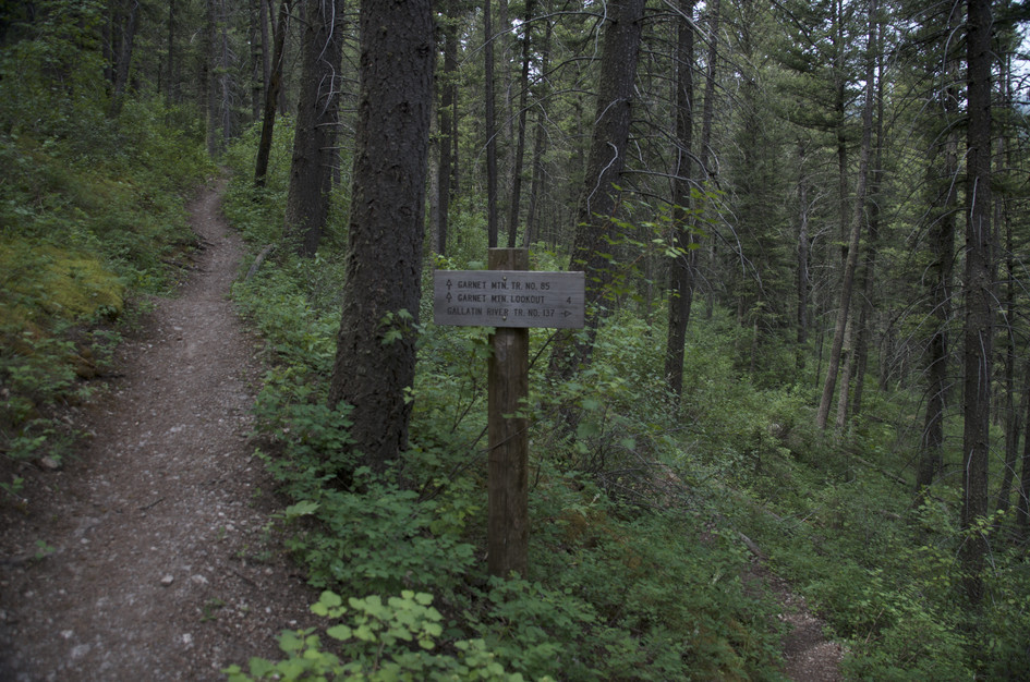
Once on Storm Castle Road, follow it to the right for almost two miles. You'll see The Storm Castle and Garnet Mountain trailhead signs.
The nearest water sources are the Pioneer Lakes which are 2.5 miles from the cabin.
Plan on carrying all of the water you'll need on this hike.
56 oz consumed per person
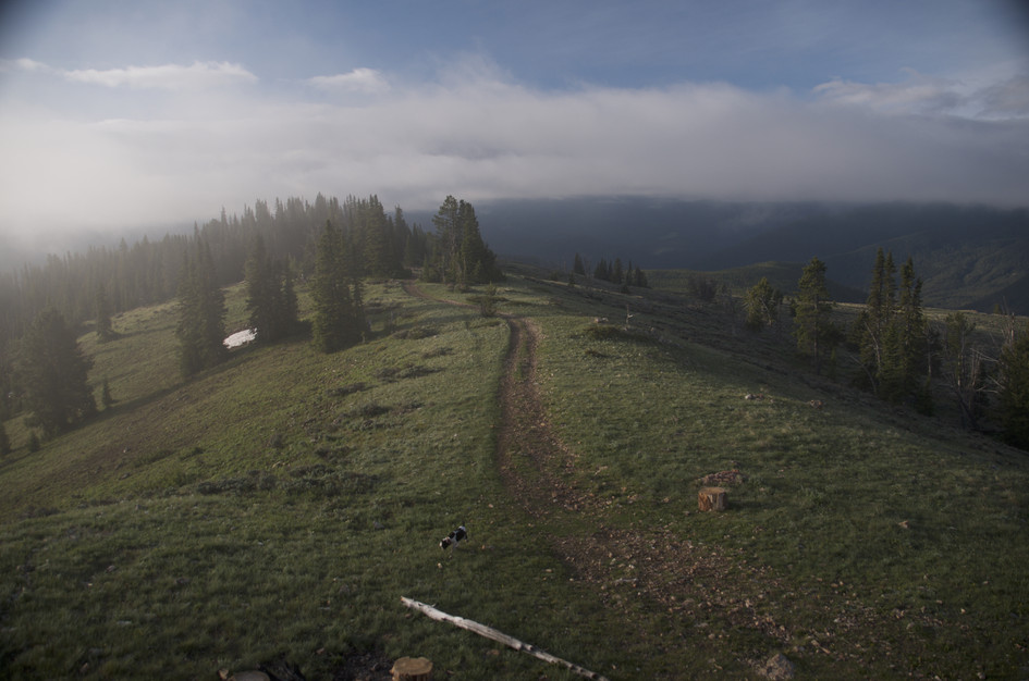
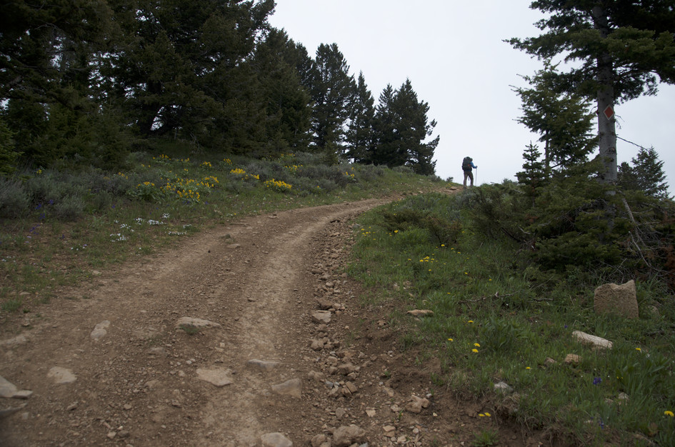
Well-maintained and easy to find trail, but narrow and lined with tall brush for much of the trail. Mostly dirt, but it transitions to gravel two miles in. Then with a 1/2 mile left, transitions to ATV with large rock.
You'll be exposed to the sun on this hike, so dress accordingly. Consider bringing layers for changing conditions at the top.
Footwear: Tennis shoes are OK on this hike
This hike is short, but you'll work up an appetite. Bring a snack.
There might be a few flies and mosquitoes buzzing around, but you'll be alright if you leave your bug spray at home.
The beginning of the hike has nice shade. Halfway through you'll encounter some open meadows, and the destination is completely exposed.
The fire lookout can be rented as a Forest Service Rental Cabin, otherwise, there's plenty of meadow tent spots off the trail.
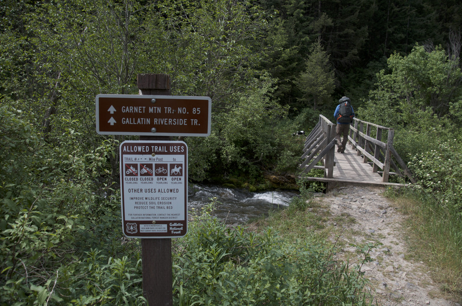
Gallatin Riverside Trail
Shortly after the Garnet trailhead, veer right to stay on the GRT. This trail offers lots of excellent access to the Gallatin River and provides great fishing opportunities.
Pioneer Lakes Trail
Roughly 1/2 mile before the lookout, take a right to head towards Pioneer Lakes and an elaborate network of trails between Storm Castle and Swan Creek.
Rat Lake
After heading on Pioneer Lakes trail for 1/4 mile, veer left to get on Rat Lake Trail.
Both of Beartooth Publishing's Big Sky Area Map and Bozeman Area Map include this entire trail.
Late May through October. The Gallatin Canyon gets snow later than lower elevations, but the Storm Castle Road access is rough enough that early spring trips add difficulty without benefit. The wildflowers in the lower meadows are best in late June and July.
July through August: trail clear, wildflowers in the lower meadows, lookout views at their best, fireweed blooming on the open slopes.
June and September: June has lingering snow possible on the upper sections, September is cool with great light for photography and no crowds.
November through April: road access becomes unreliable, the upper trail is icy, and the exposed summit is cold and windy.
Yes. The 1962 fire lookout at the summit is available to rent as a Forest Service cabin through Recreation.gov. It books up, especially for summer weekends. Check availability well in advance.
No. There is no water on the trail at all. The nearest sources are Pioneer Lakes, 2.5 miles from the lookout. Carry all the water you need from the car.
Yes. The parking area is small and both trails start from the same lot. Storm Castle gets more traffic, so on busy weekends the lot fills before 9am. Arrive early or plan to park along the road.
Strenuous, primarily due to a steep final mile, but the total distance is short at 8 miles round trip. The gain of 2,776 feet in 4 miles is demanding, but the 4-hour round trip makes it a single hard morning rather than an all-day commitment.
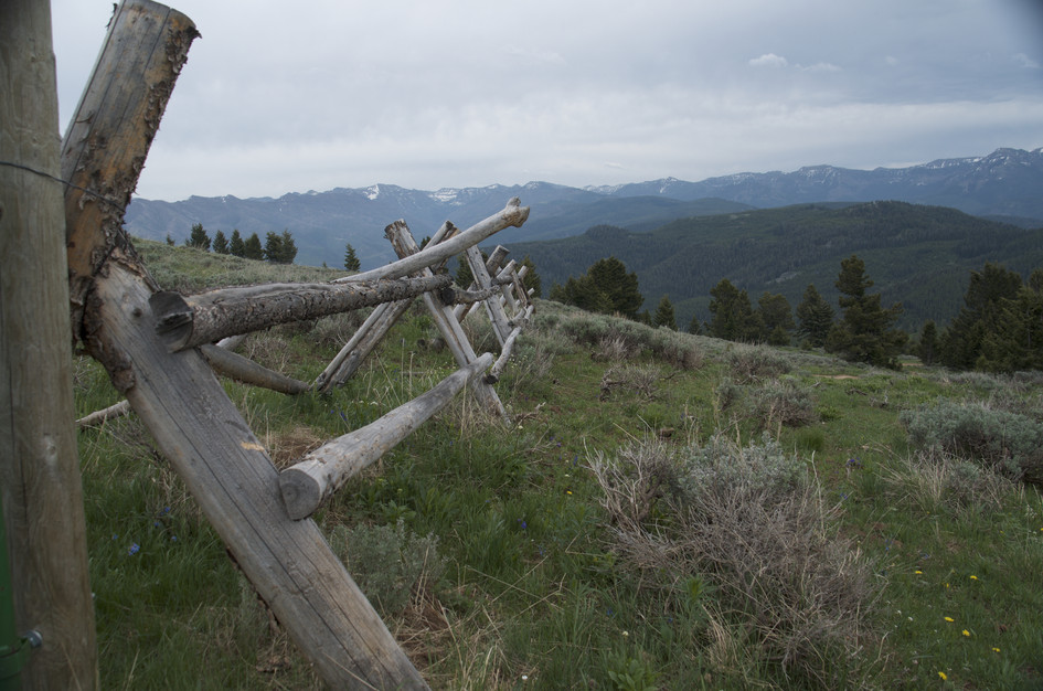
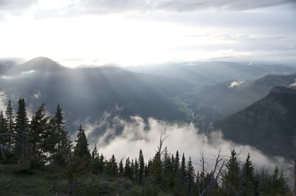
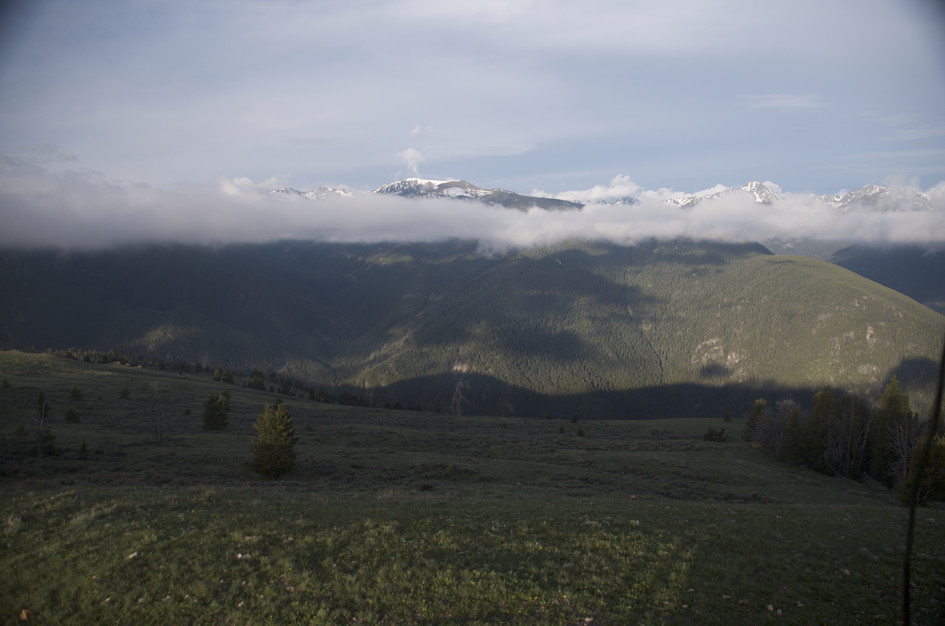
360-degree panoramic views including the Spanish Peaks, the Gallatin Range, and Hyalite Ridge. Storm Castle is visible below. On a clear day the views extend well into the Madison Range.
Plug 8 miles and 2,776 feet of elevation gain into our free hiking time calculator for a personalized estimate.