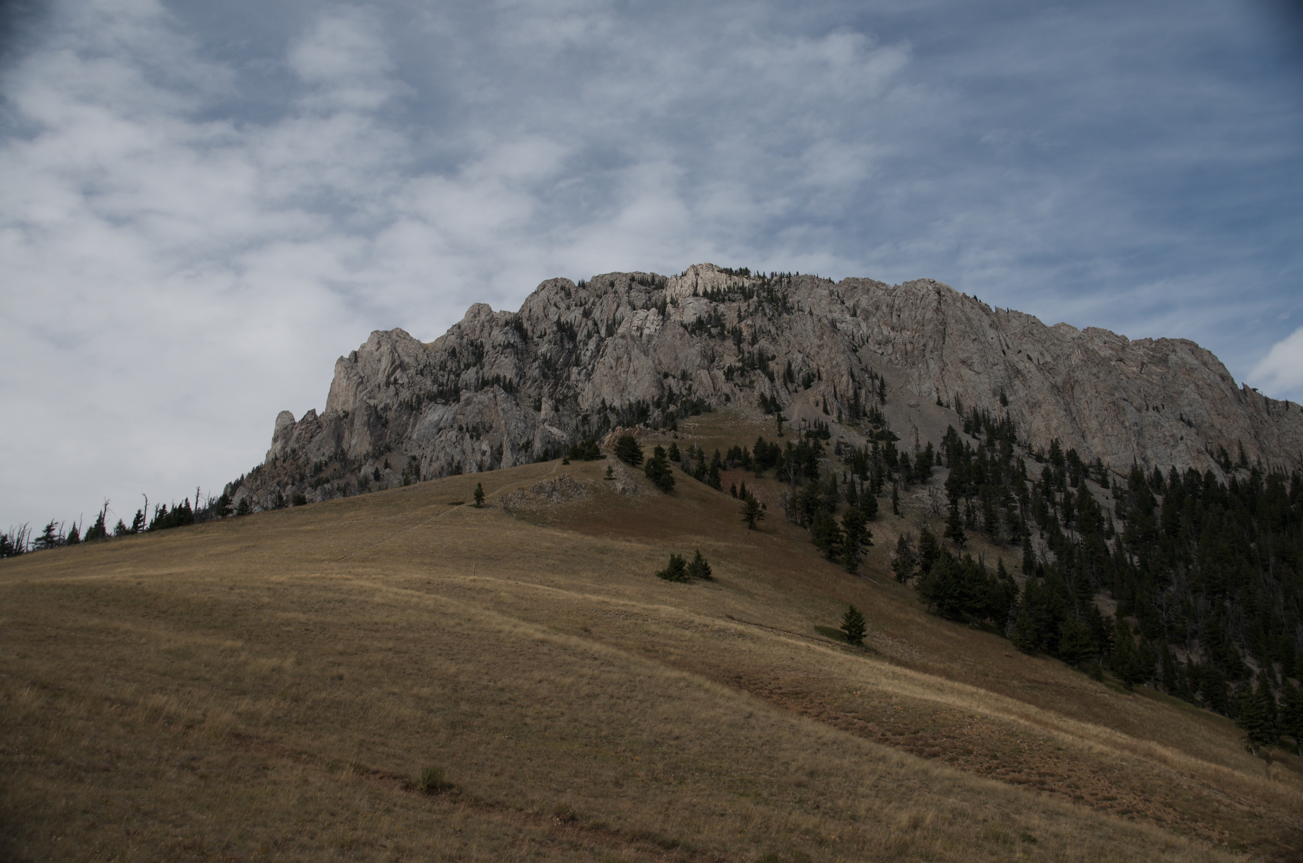
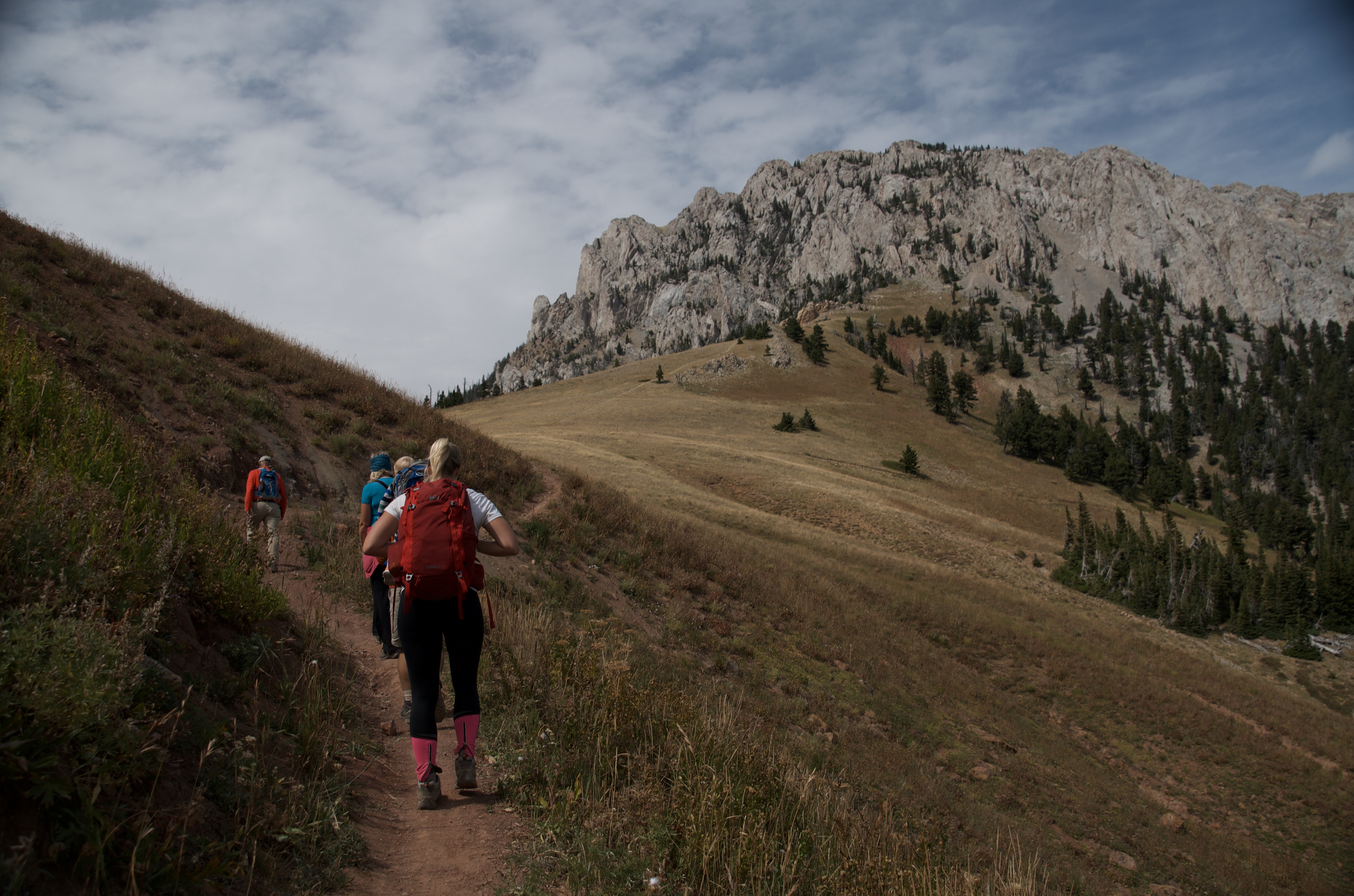
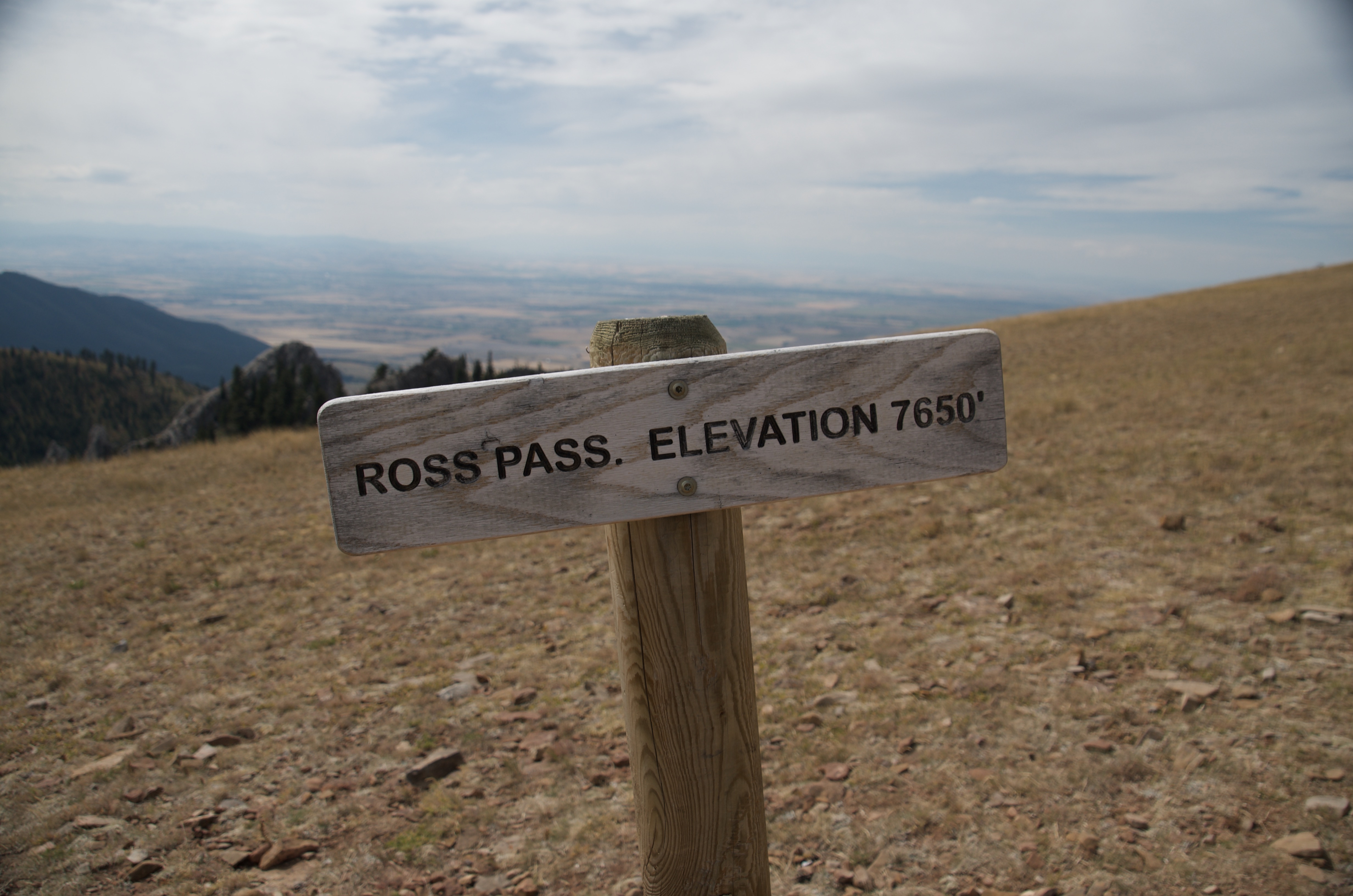
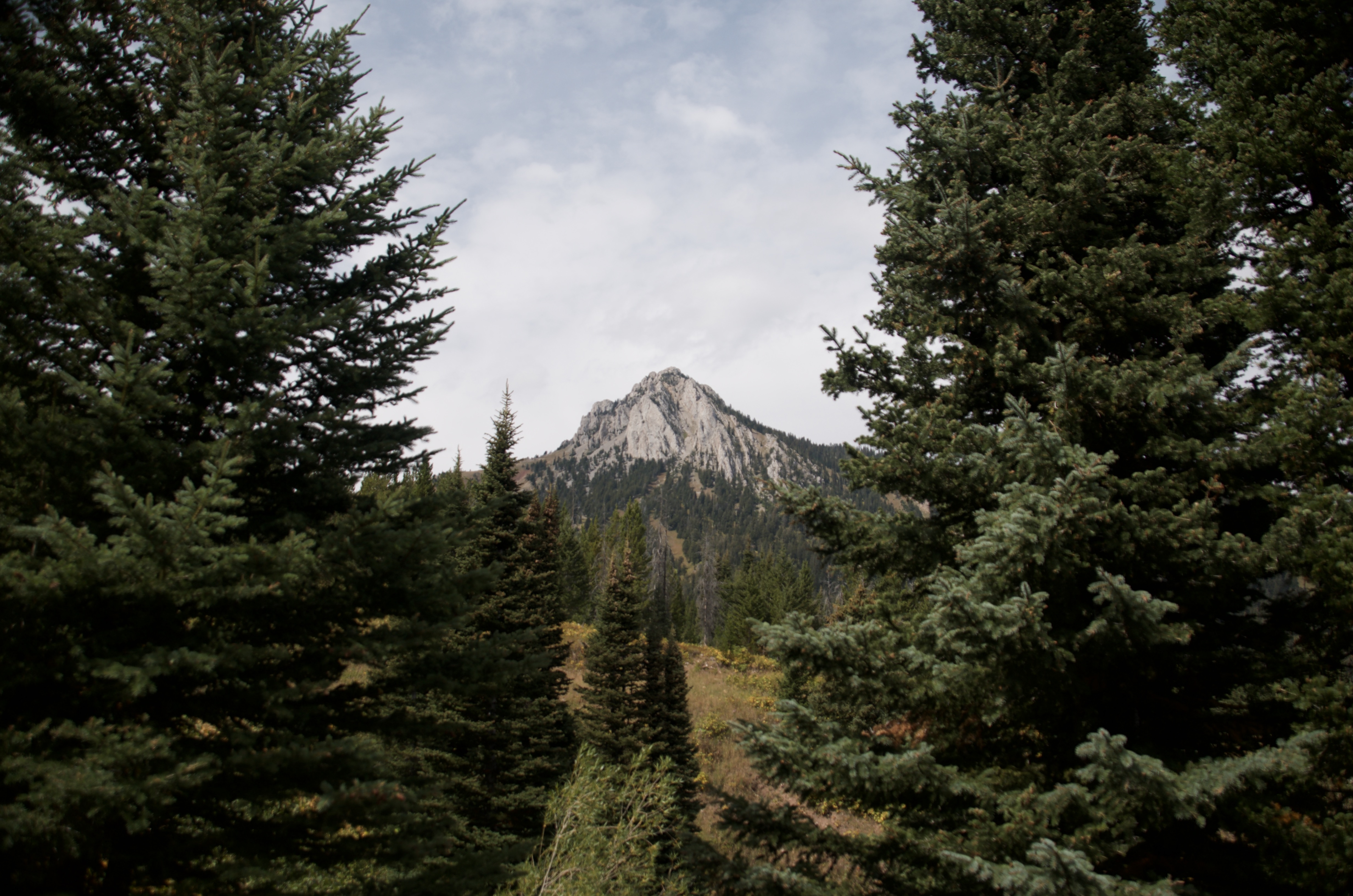
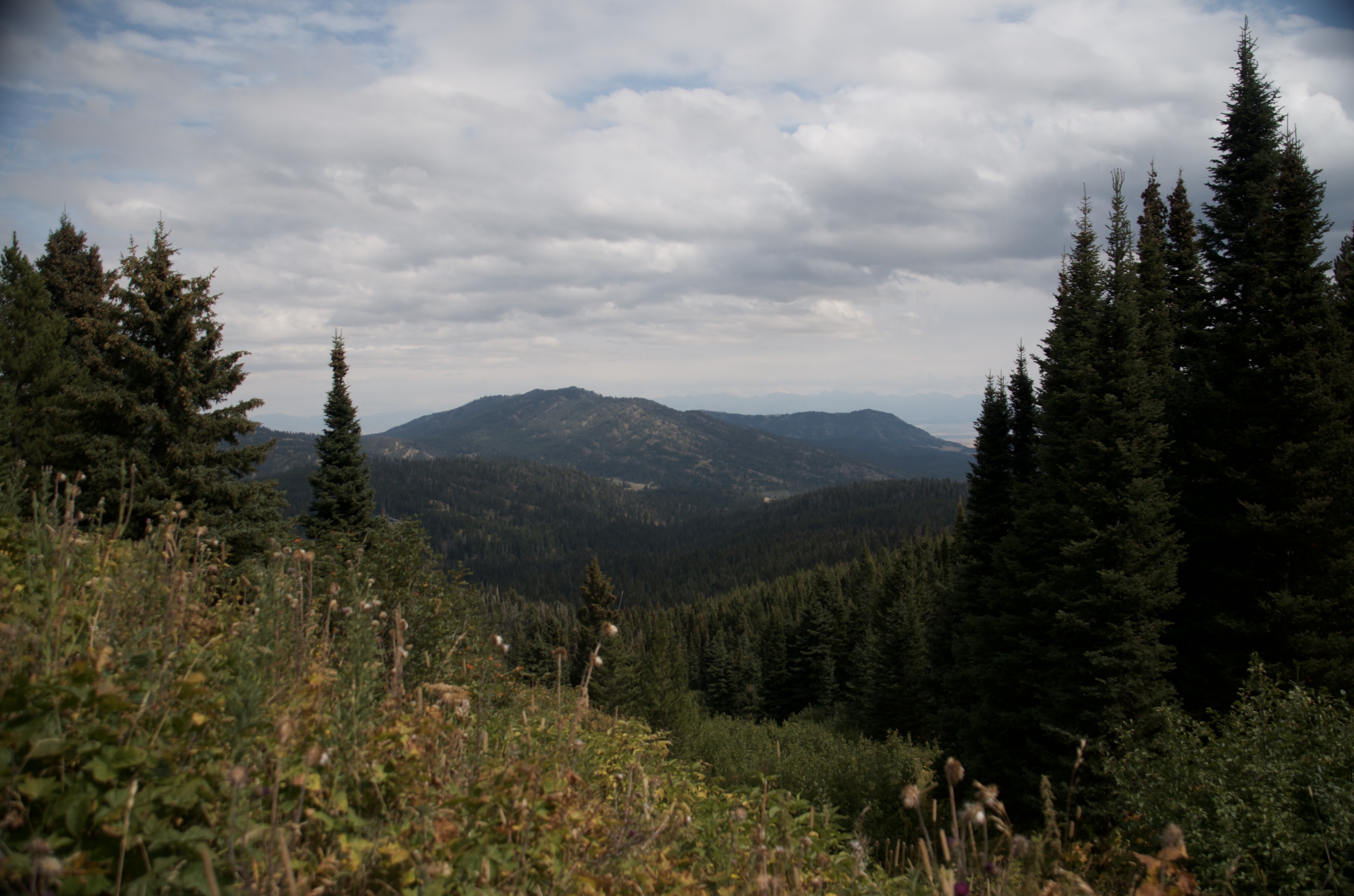
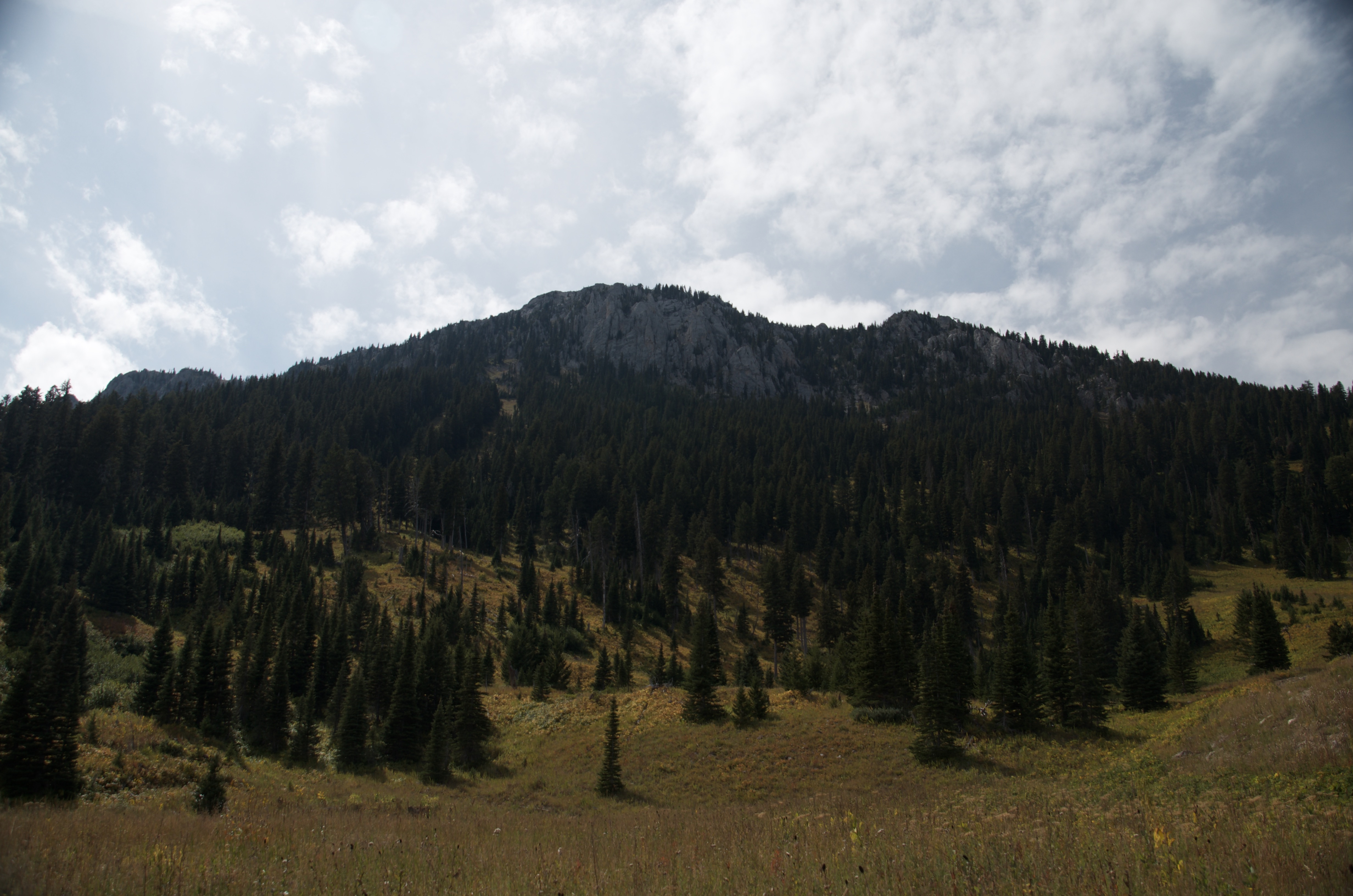
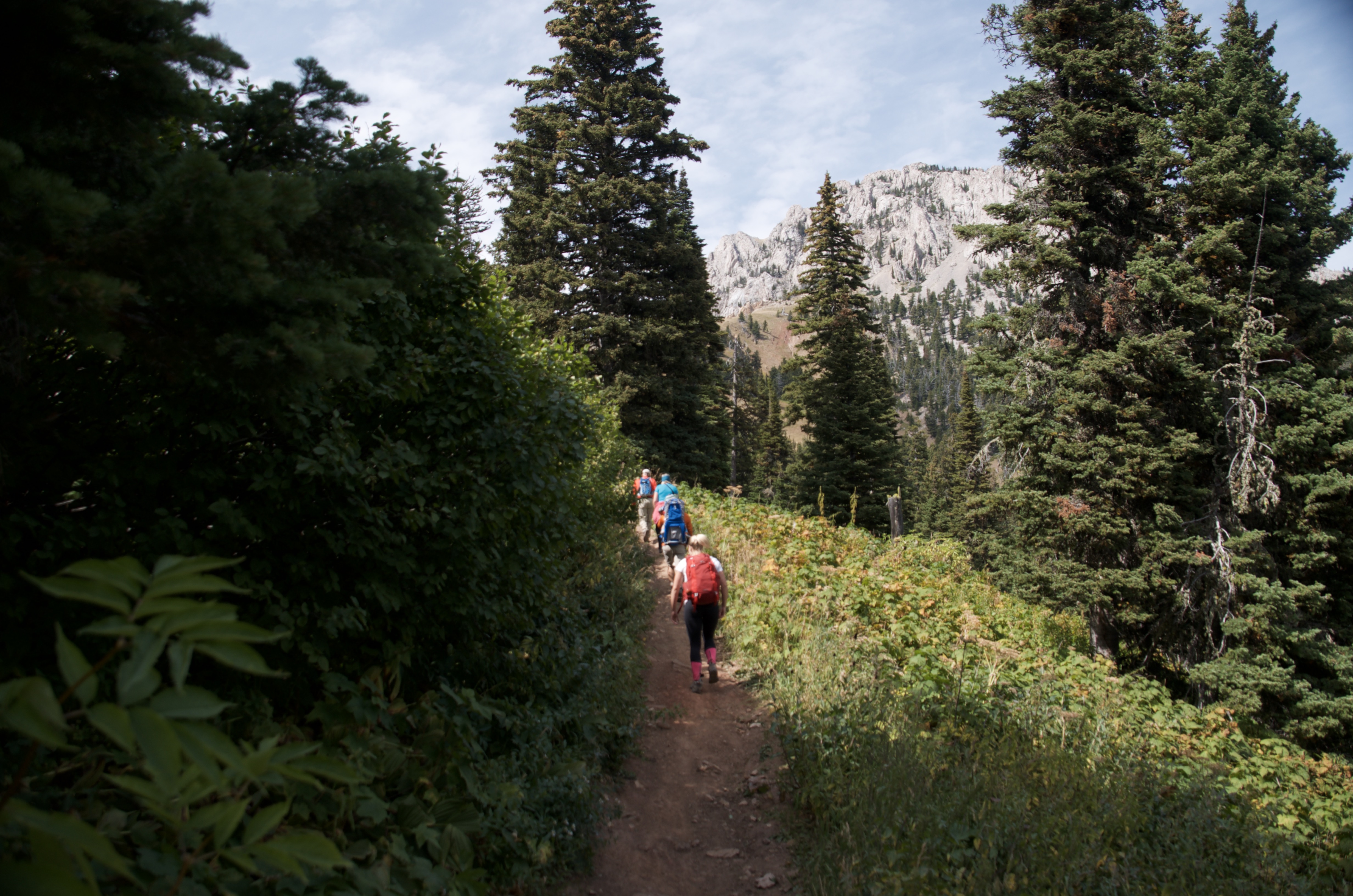
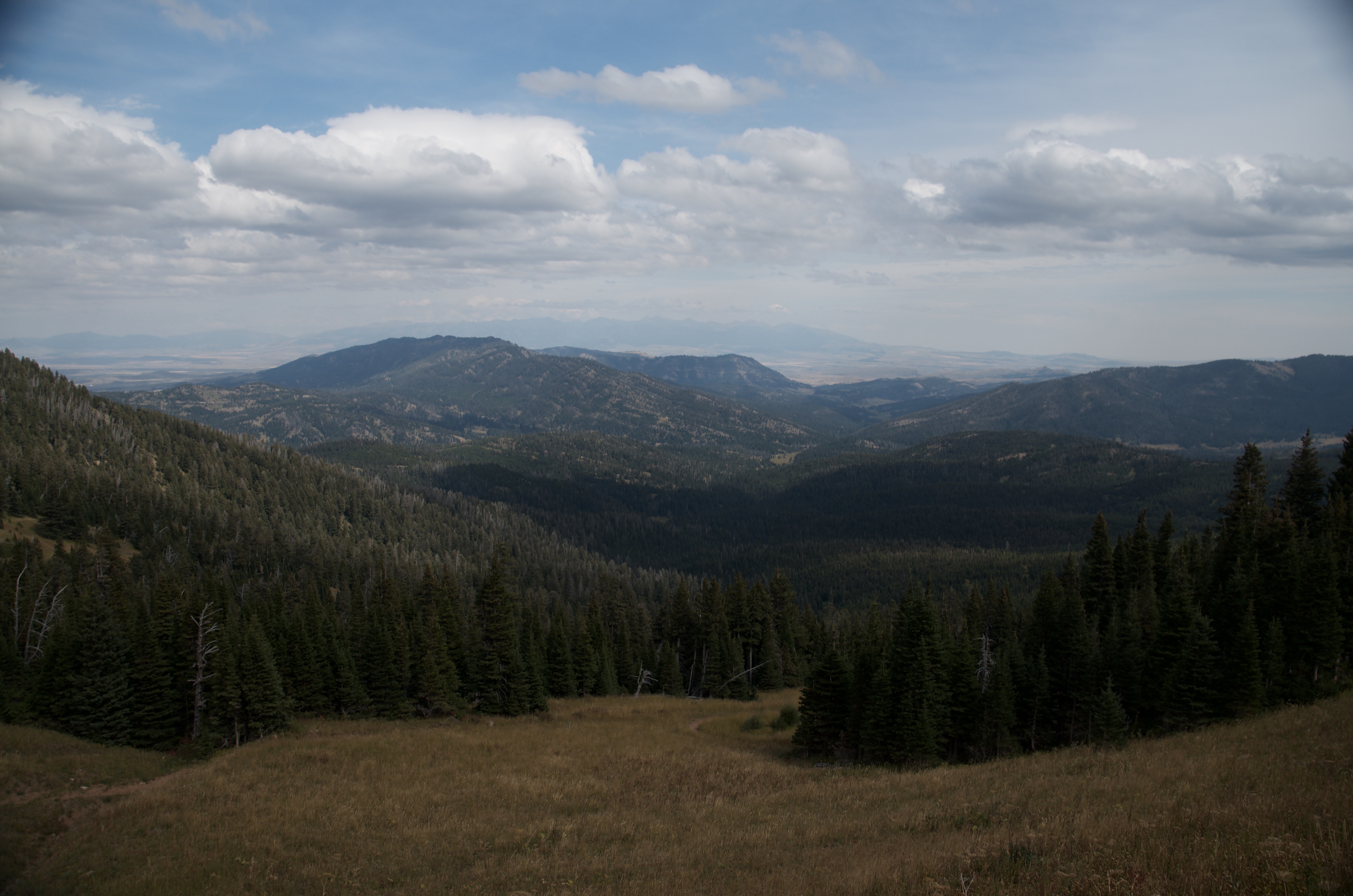
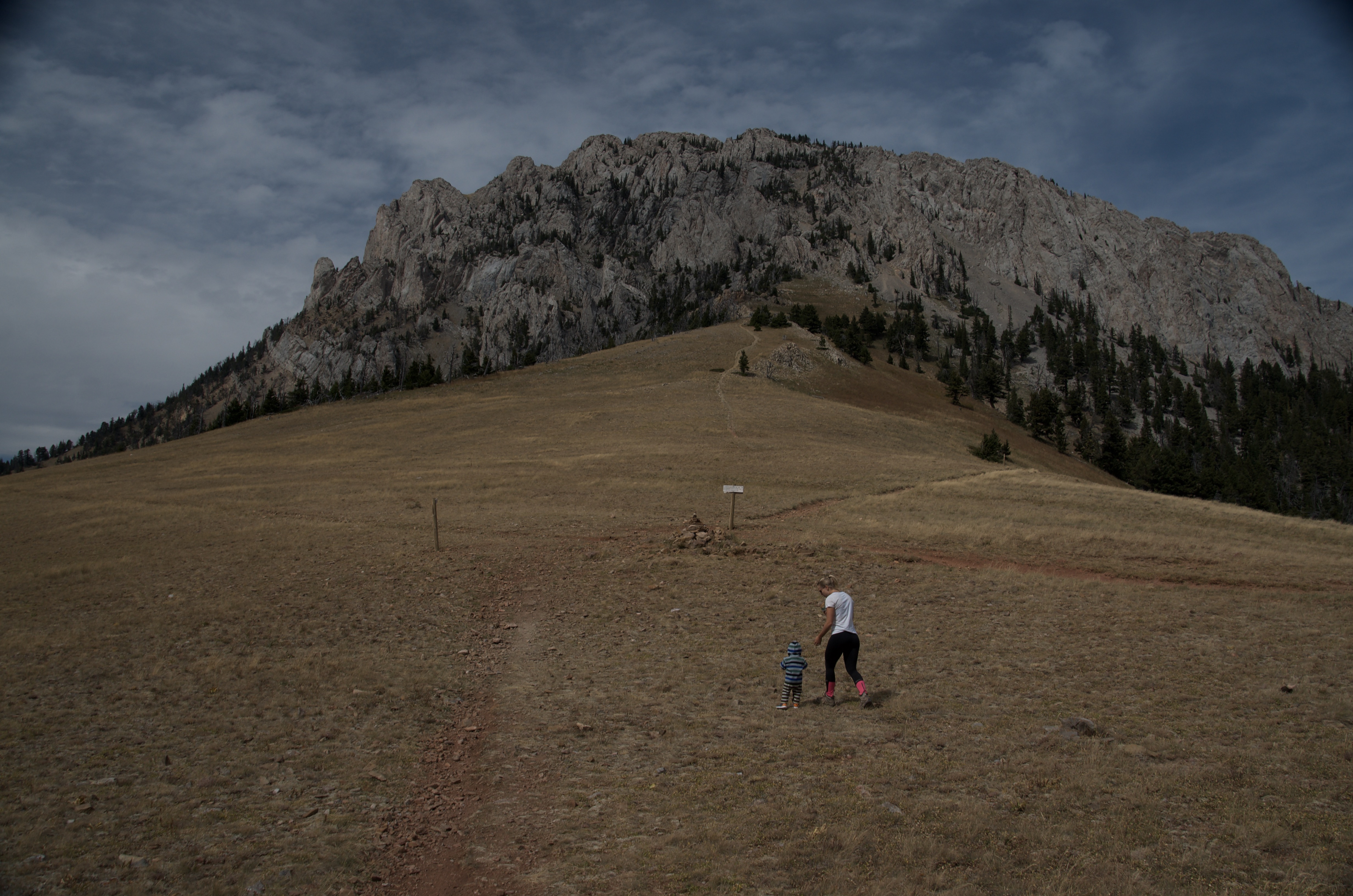
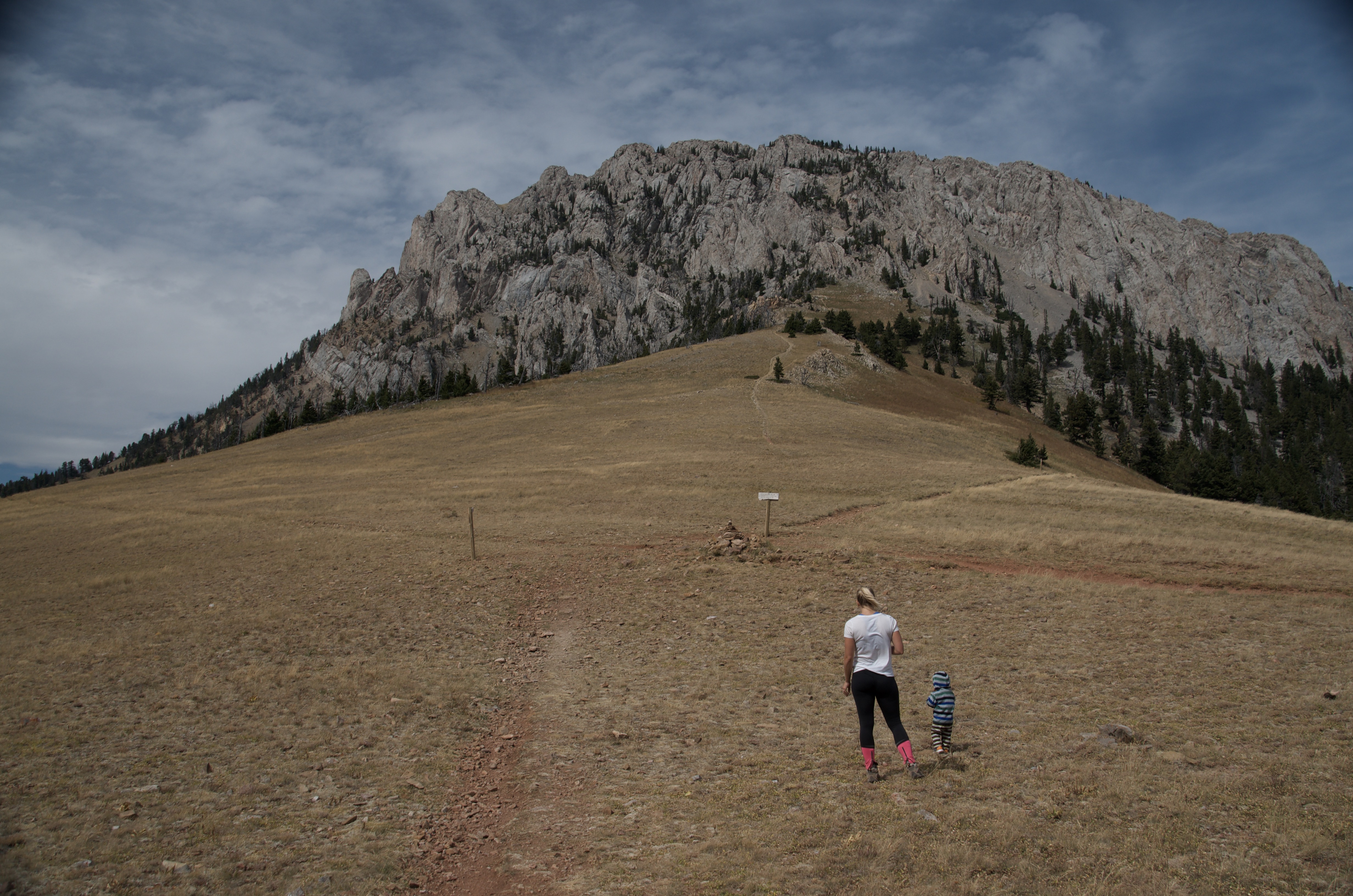
Most hikes near Bozeman give you a clear destination — a lake, a waterfall, a peak with a name. Ross Pass gives you something harder to explain. You walk out of the trees into open alpine terrain, the valley drops away behind you, and Ross Peak's limestone cliff rises overhead. It's a pass. You're between things, not at the top of something. And yet it's one of the more satisfying places you can get to in an afternoon from town.
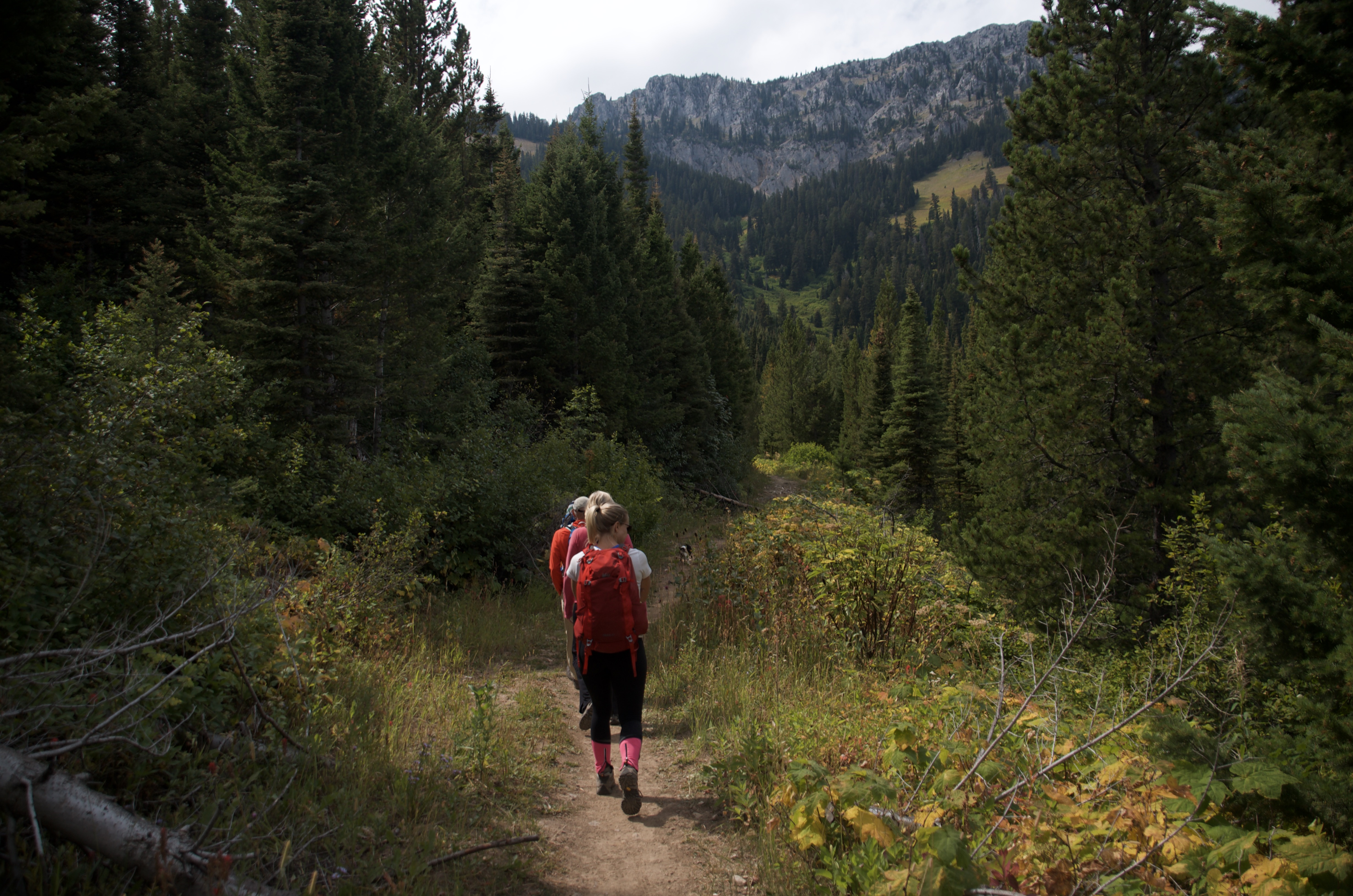
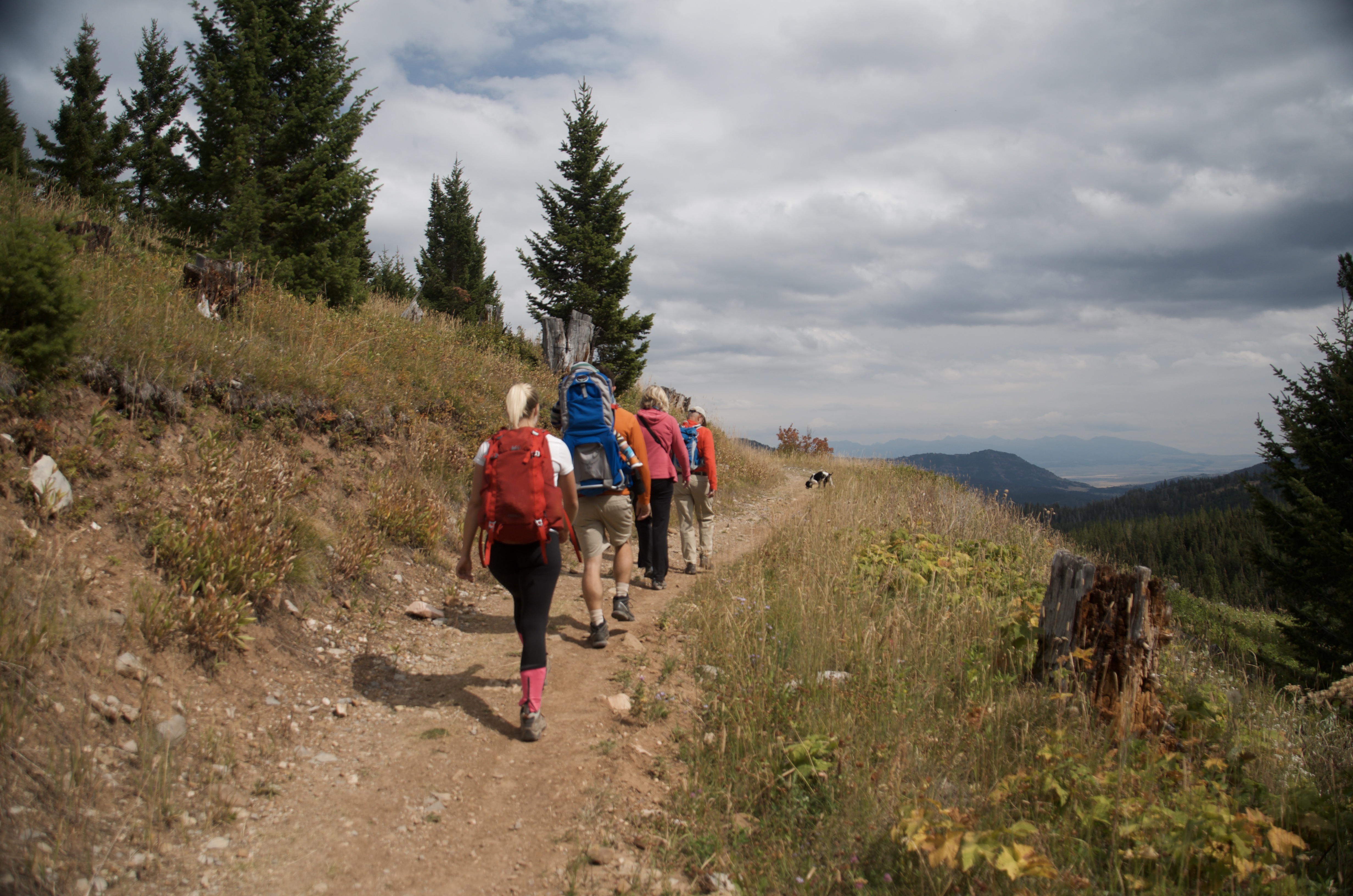
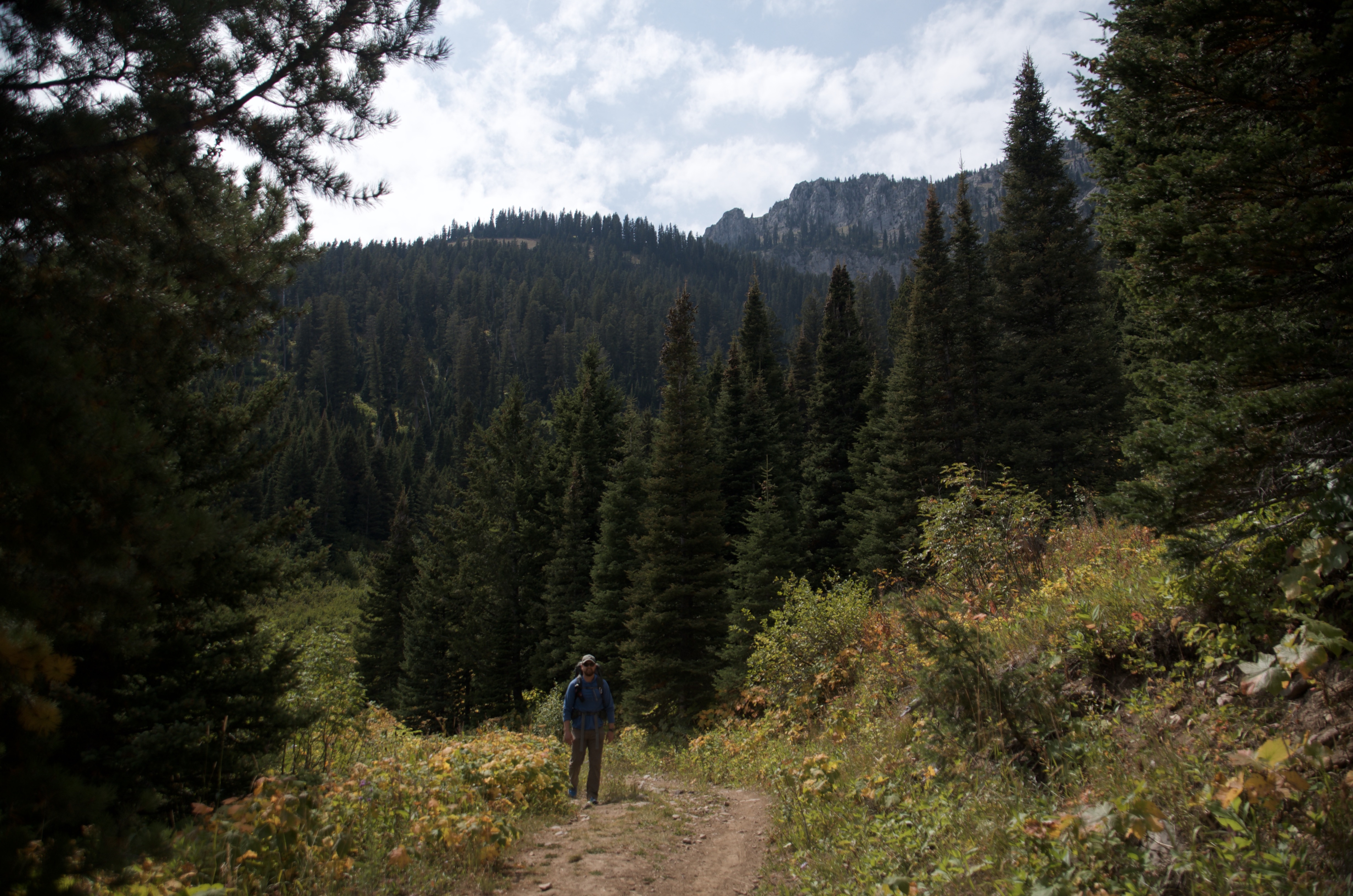
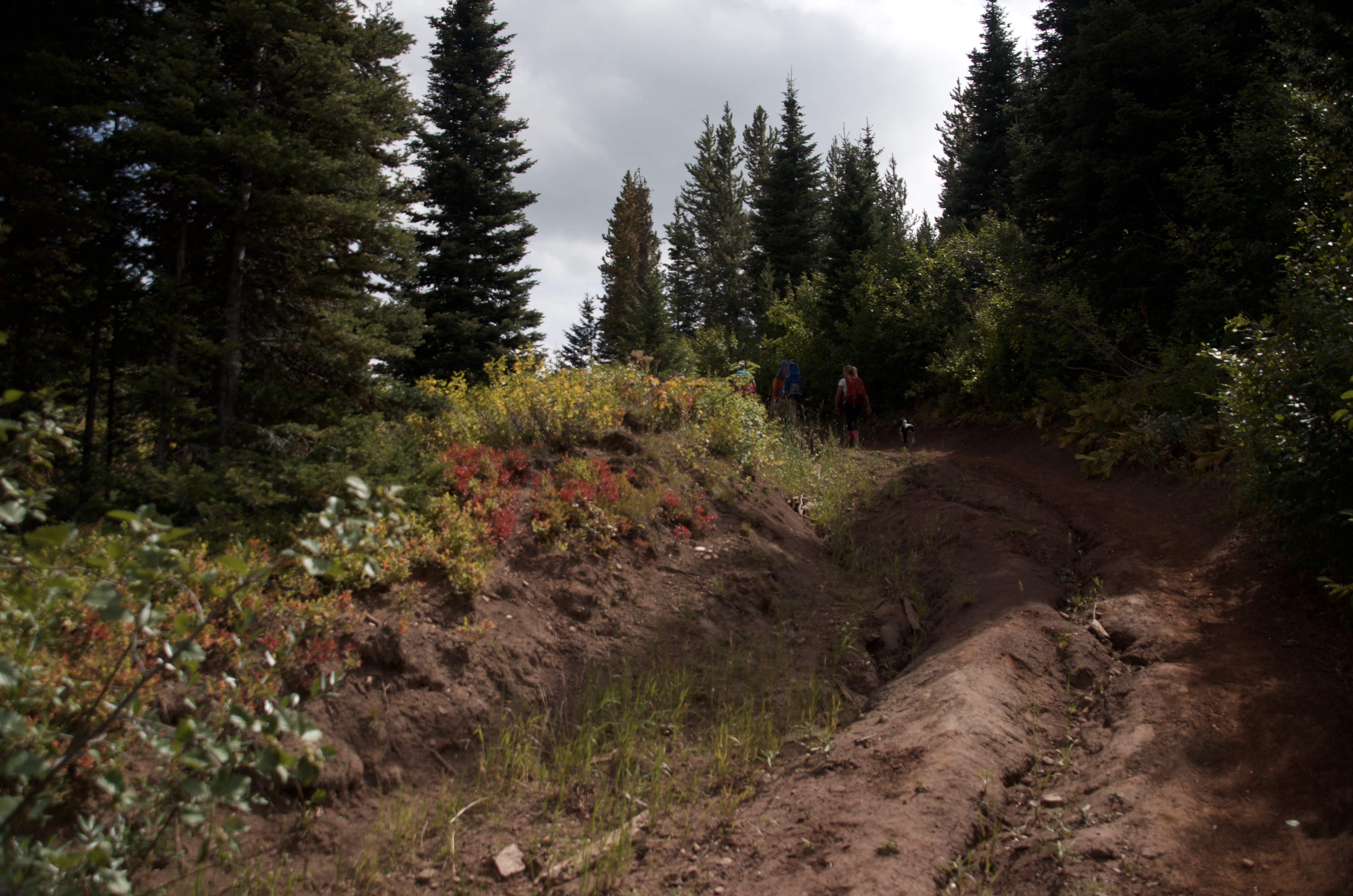
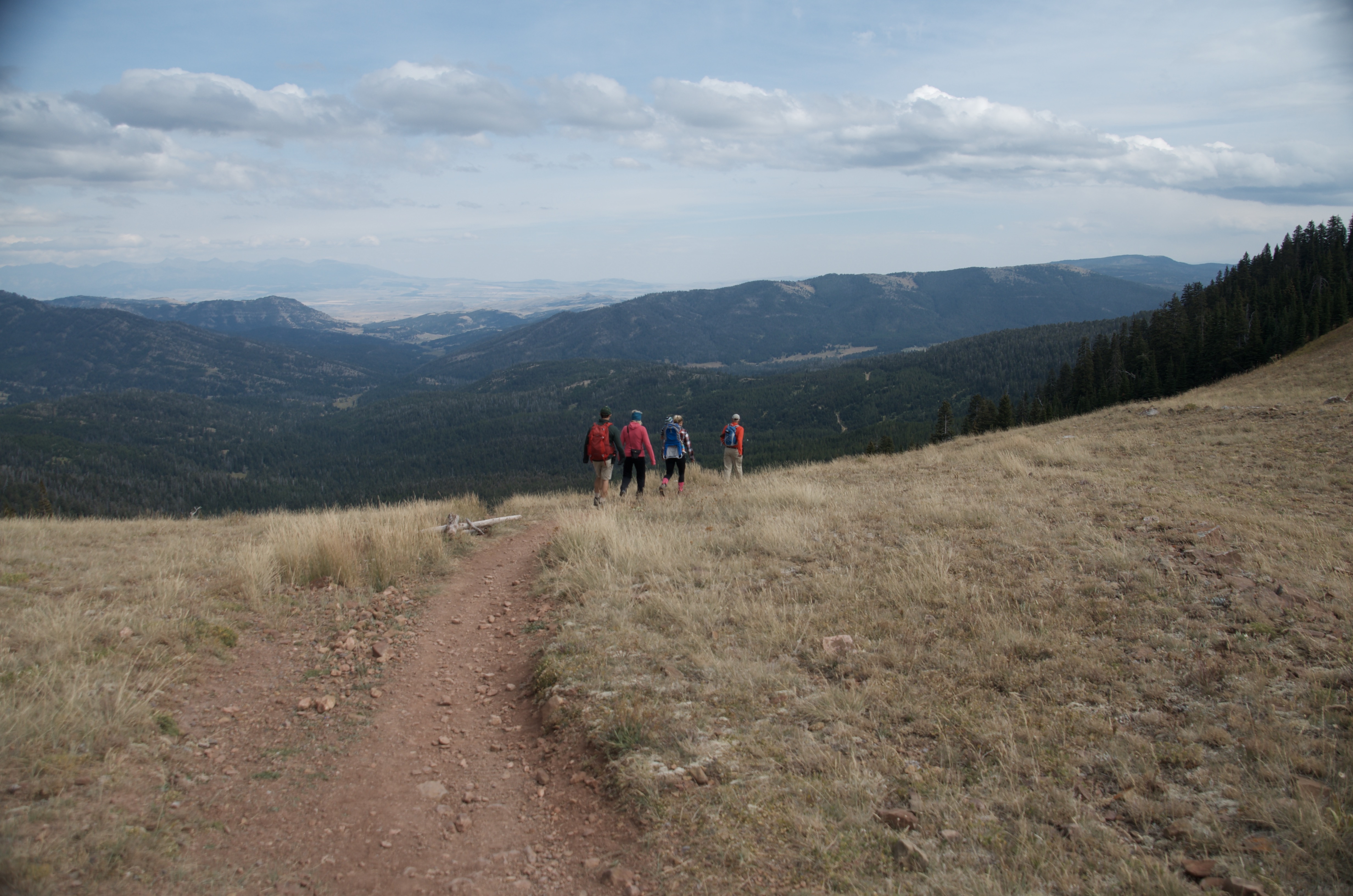
Part of what makes it work is who isn't there. The rough access road and the lack of a marquee attraction mean the trail stays quiet even when Bridger Bowl and Hyalite are packed. The trail is well-defined through the trees, then gets loose and faint as it opens up — you have to pay attention. Not a lot, but enough that it feels like you're actually navigating, not just following a crowd.
Parking is along the road near the gate, with room for a handful of cars. It fills on busy summer weekends, but this trailhead sees far less traffic than Bridger Bowl or Hyalite.
No bathroom at the trailhead. Plan ahead before you leave town.
Noticeably quieter than most Bozeman-area hikes of similar quality. The rough access road and the lack of a marquee destination keep the casual crowds away.
The road is manageable for most of the drive. The final half mile of South Brackett Creek Road is deeply rutted. Low-clearance cars should park before it gets rough and walk the rest in. High-clearance vehicles can usually make it to the gate.
Expect no service for most of the hike. Download a map before you go.
Dogs do well here. Water from Brackett Creek helps in the lower section, but carry extra for the upper half where it's dry and open.
20 Miles from Bozeman, MT. 35 Minutes
Head north from Bozeman on Highway 86 toward Bridger Bowl. Past the ski area, turn left onto South Brackett Creek Road and follow it, staying right at forks. The last half mile of road is deeply rutted. Park at or near the gate on the left side of the road.
Brackett Creek runs alongside the lower trail section. Above the creek there's nothing until you're back down. Carry enough water from the car.
48 oz consumed per person
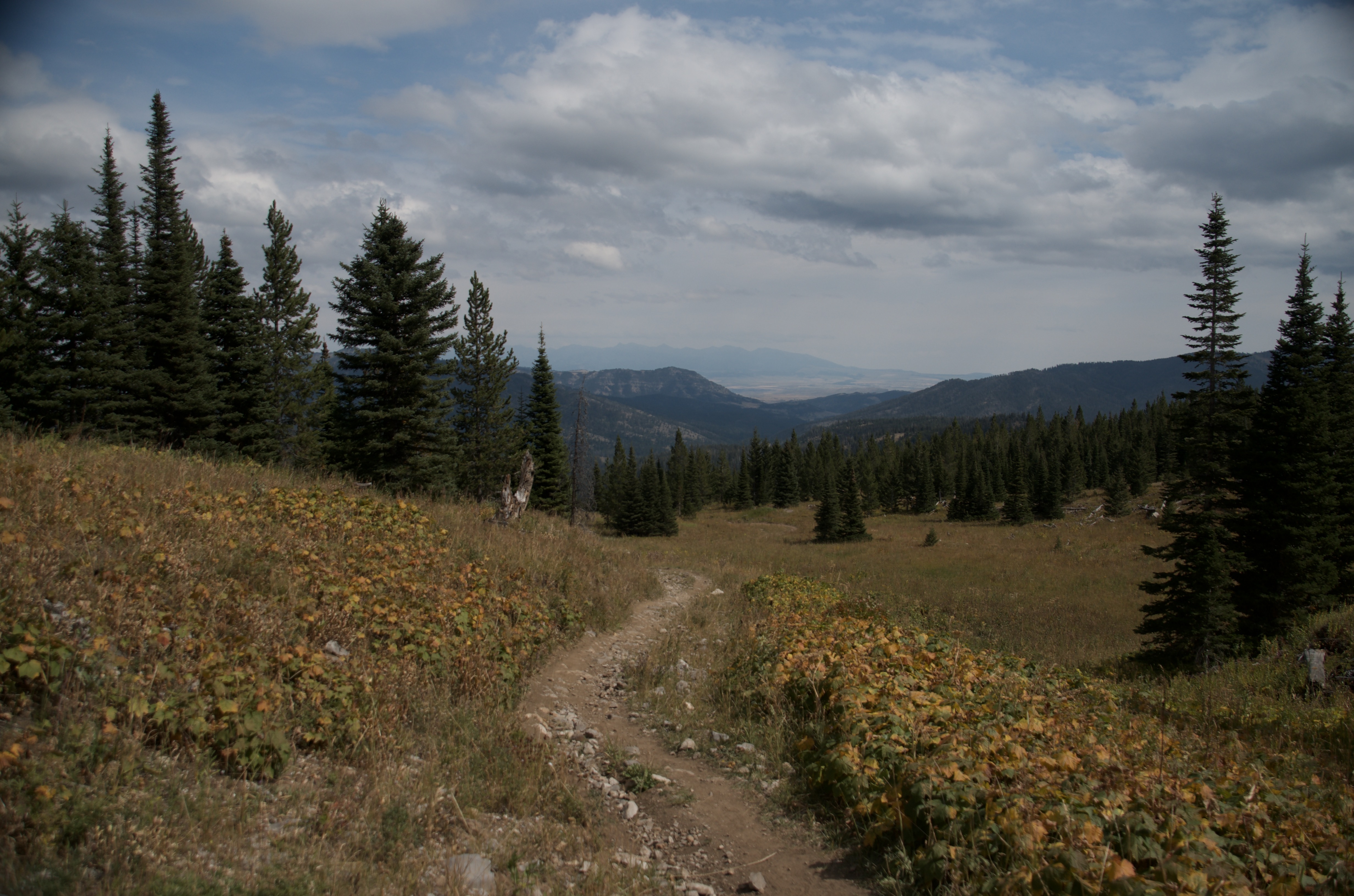
Well-defined through the forested lower section. The upper trail opens to alpine terrain where it becomes faint in places. The line of travel stays logical even when the path isn't obvious.
The lower section is sheltered by trees, but the upper half is fully exposed. Bring a wind layer. Afternoon thunderstorms develop quickly in the Bridgers, so start early and watch the sky.
Footwear: Trail Runners or Boots Recommended
A snack or light lunch is plenty. The pass is a good spot to eat before heading back.
Nothing significant. Some mosquitoes near the creek in early season, but the open upper terrain keeps them minimal.
The lower half of the trail is forested. Above treeline you're fully exposed for the final push to the pass.
Not a practical overnight destination. The pass is exposed and there aren't good camping options near the trailhead or at the top.
Ross Peak Summit
From the pass, experienced scramblers can continue to the summit of Ross Peak at 9,003 feet. It's a significant step up in difficulty with loose talus, real route-finding, and some exposure. Treat it as a separate objective from the pass hike.
Beartooth Publishing's Bridger Range map covers this trail well and is worth having in your pack.
July through September is the reliable window. The access road can be muddy and rough in spring, and snow lingers on the upper section into June most years.
July–August: trail clear, conditions dry, best valley views on clear days
Late June and September: fewer hikers, some snow possible in the upper section in June, fall color in September
Before mid-June or after mid-October: snow on the upper trail and muddy road conditions are likely
Moderate is accurate. The 1,000 feet of elevation gain over 4.8 miles is steady but not steep. The trail is clear through the forest and gets faint in the open upper section — you'll need to pay attention, but it's not technical.
No. Ross Pass is a mountain pass, not a lake destination. You get big valley views and the limestone cliffs of Ross Peak above, but no water feature at the top.
Yes, but it's a much harder day. The summit involves scrambling on loose talus with real route-finding and some exposure. Treat it as a separate objective from the pass hike.
Light compared to most Bozeman hikes. The rough access road discourages casual visitors, and the absence of a lake or waterfall keeps it off most bucket lists. You'll likely have the upper section to yourself even on summer weekends.
For most of the drive, yes. The final half mile of South Brackett Creek Road is deeply rutted and rough. High-clearance vehicles can usually reach the gate. Low-clearance cars should park before the rough section and walk in.
Yes. Dogs handle this trail well. Water is available from Brackett Creek in the lower section — carry extra for the upper half where it's dry and exposed.
The lower trail clears by late May or early June in most years. The upper section near the pass typically holds snow into June. July is the safe start for most hikers.
Plug 4.8 miles and 1,000 feet of elevation gain into our free hiking time calculator for a personalized estimate.