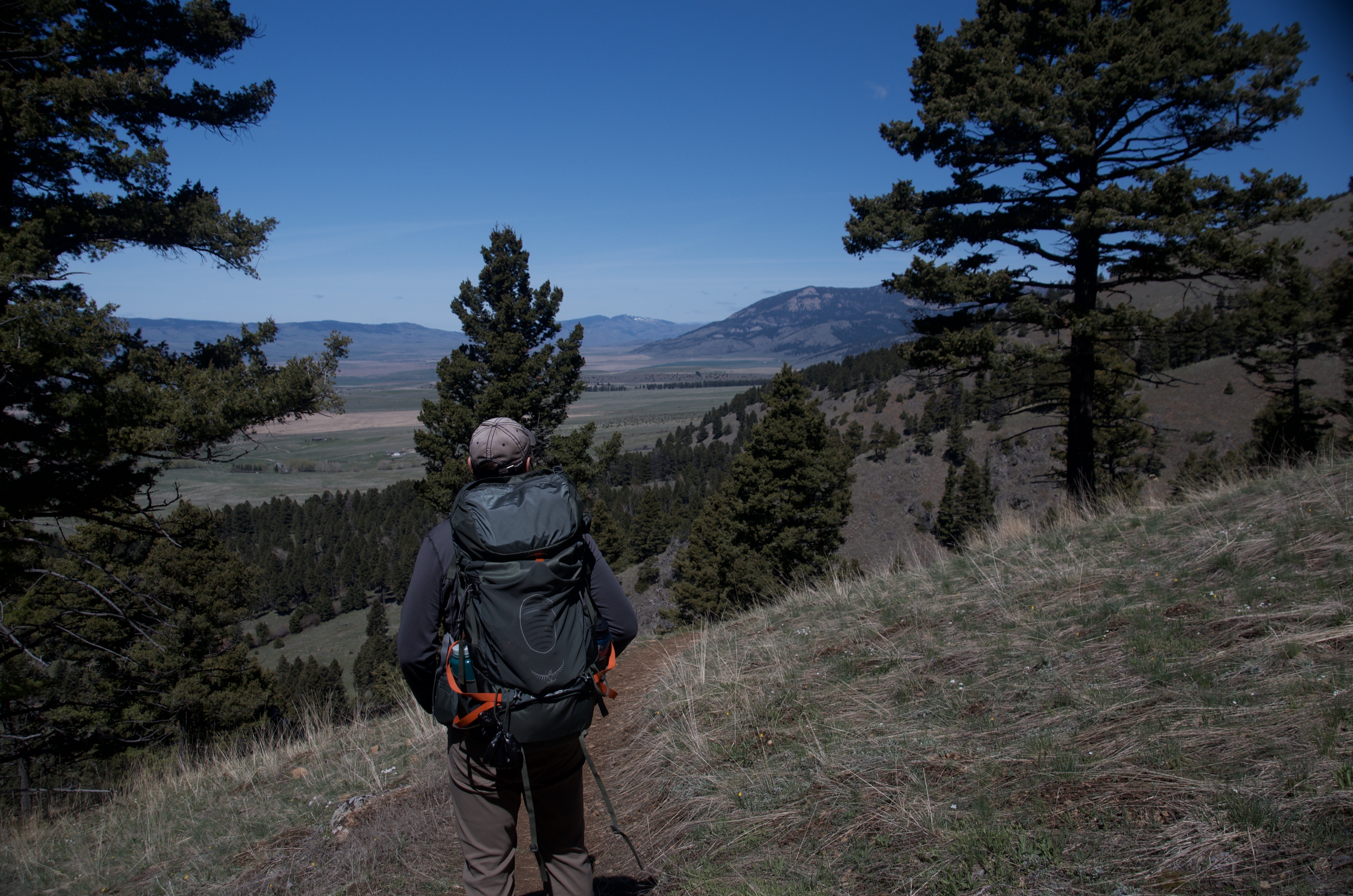
Most Bozeman trails have an obvious reason. Beehive Basin is the alpine meadow. Hyalite is the lake. Ross Pass is the cliff wall overhead. North Cottonwood doesn't have that. It's a long corridor into the mountains that keeps offering more if you want it, without ever insisting you've arrived.
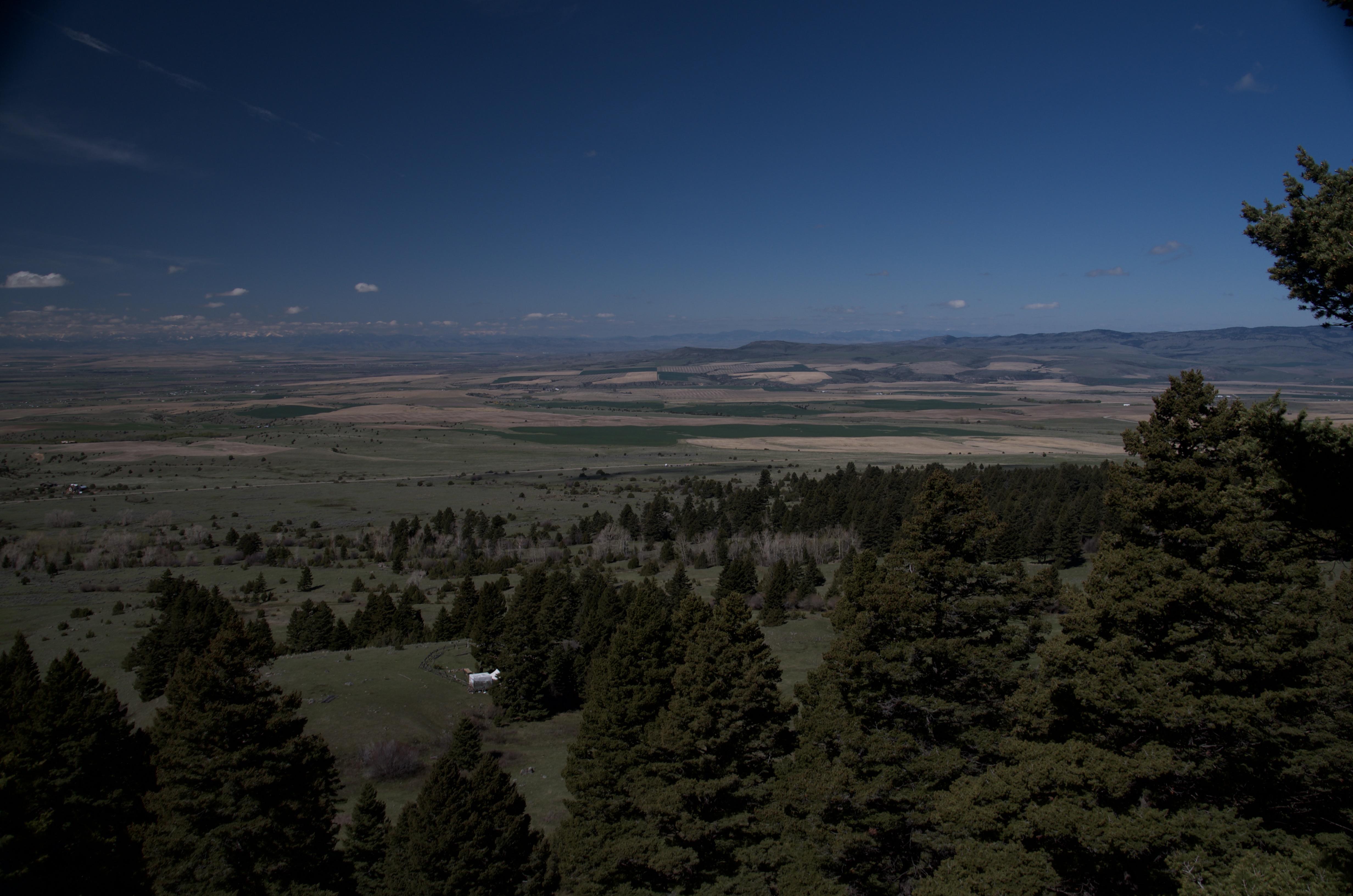
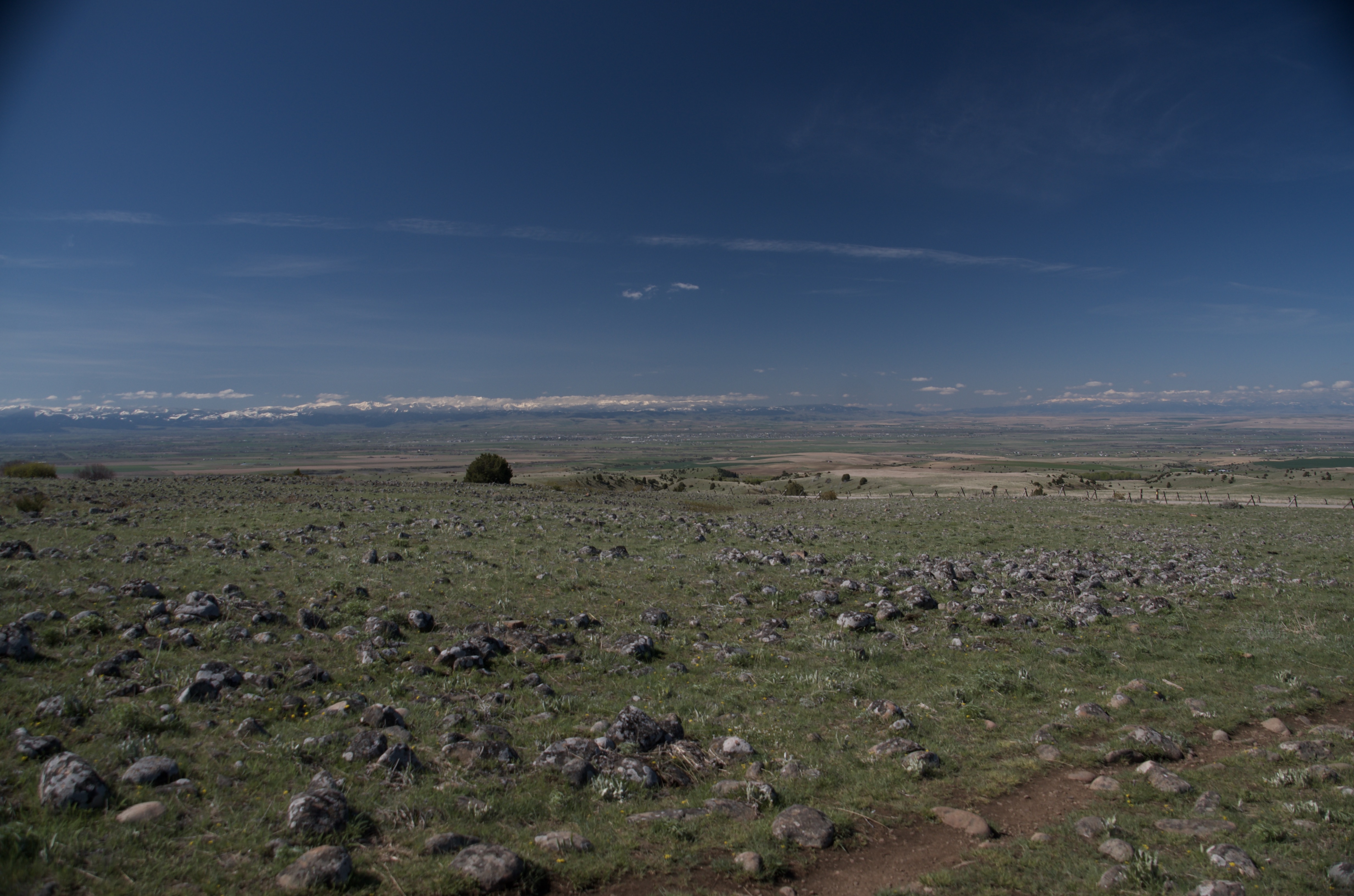
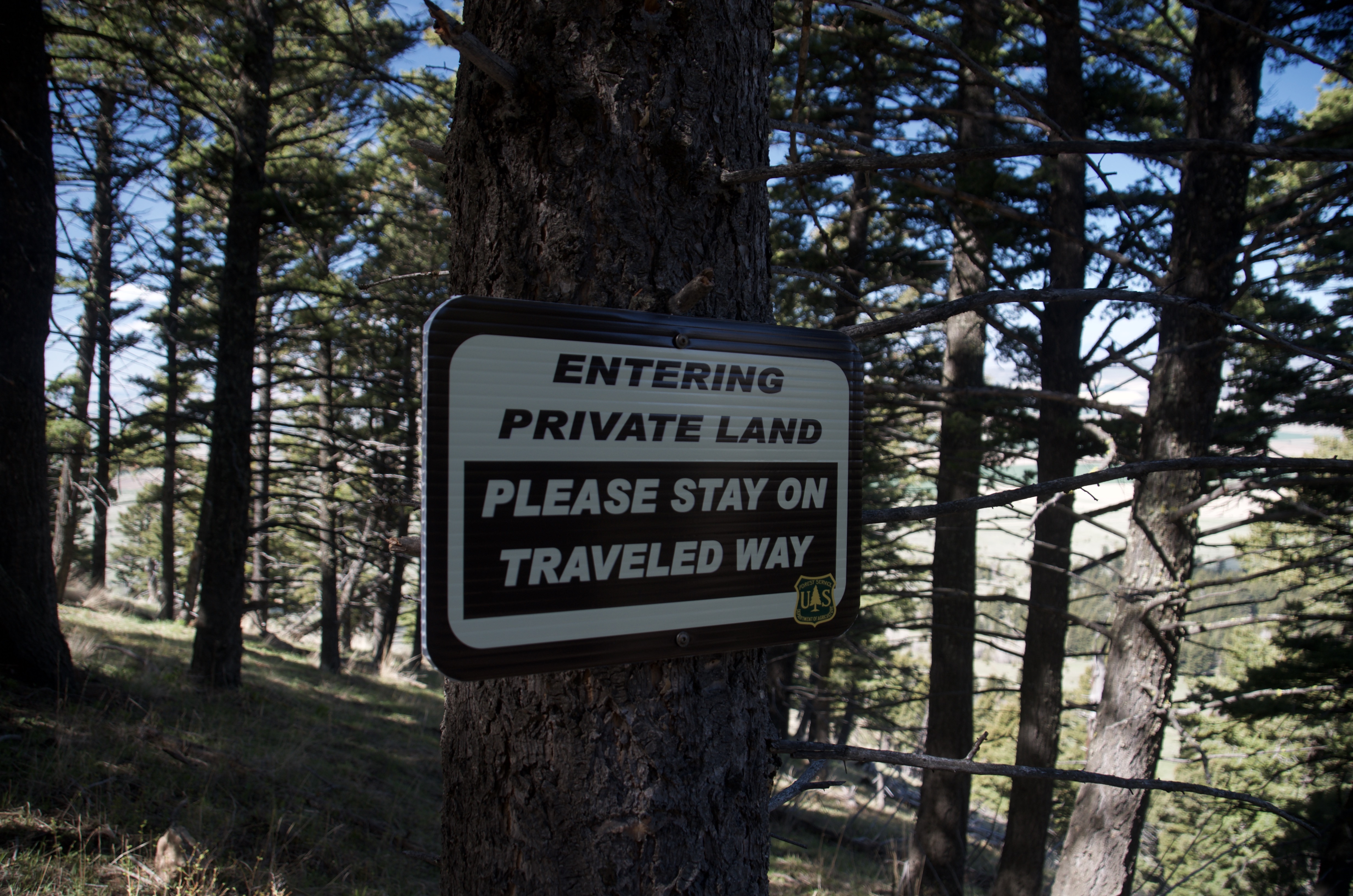
The honest reason to do this trail is mileage and quiet. The private land crossing at the start is one of the more unusual parts of any hike near town, and the creek corridor is pretty in early summer when the water is up. Above treeline the views stretch back over the valley in a way that earns the effort. But none of it is dramatic. The trail just keeps going, and that's exactly what some people need.
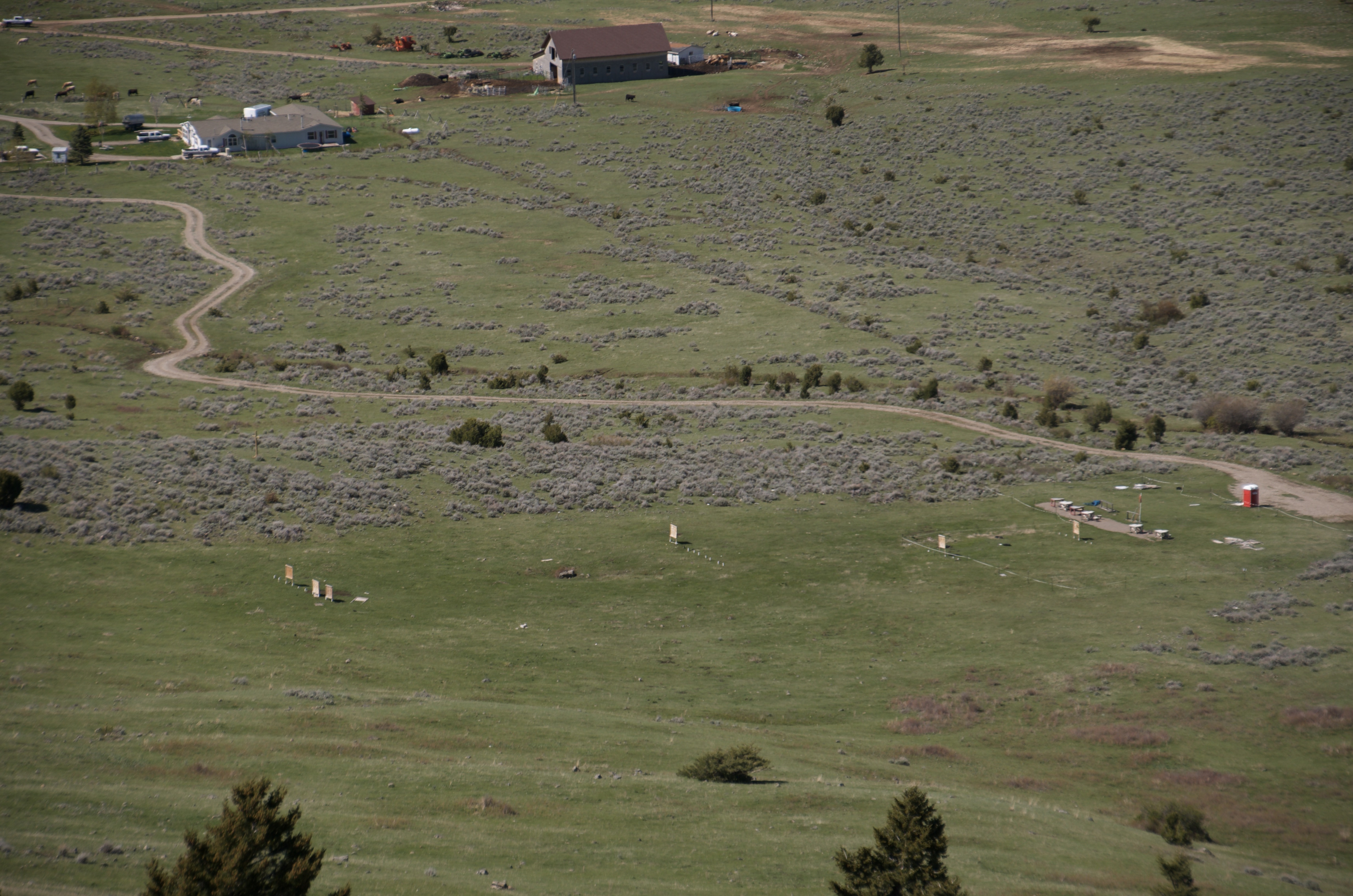
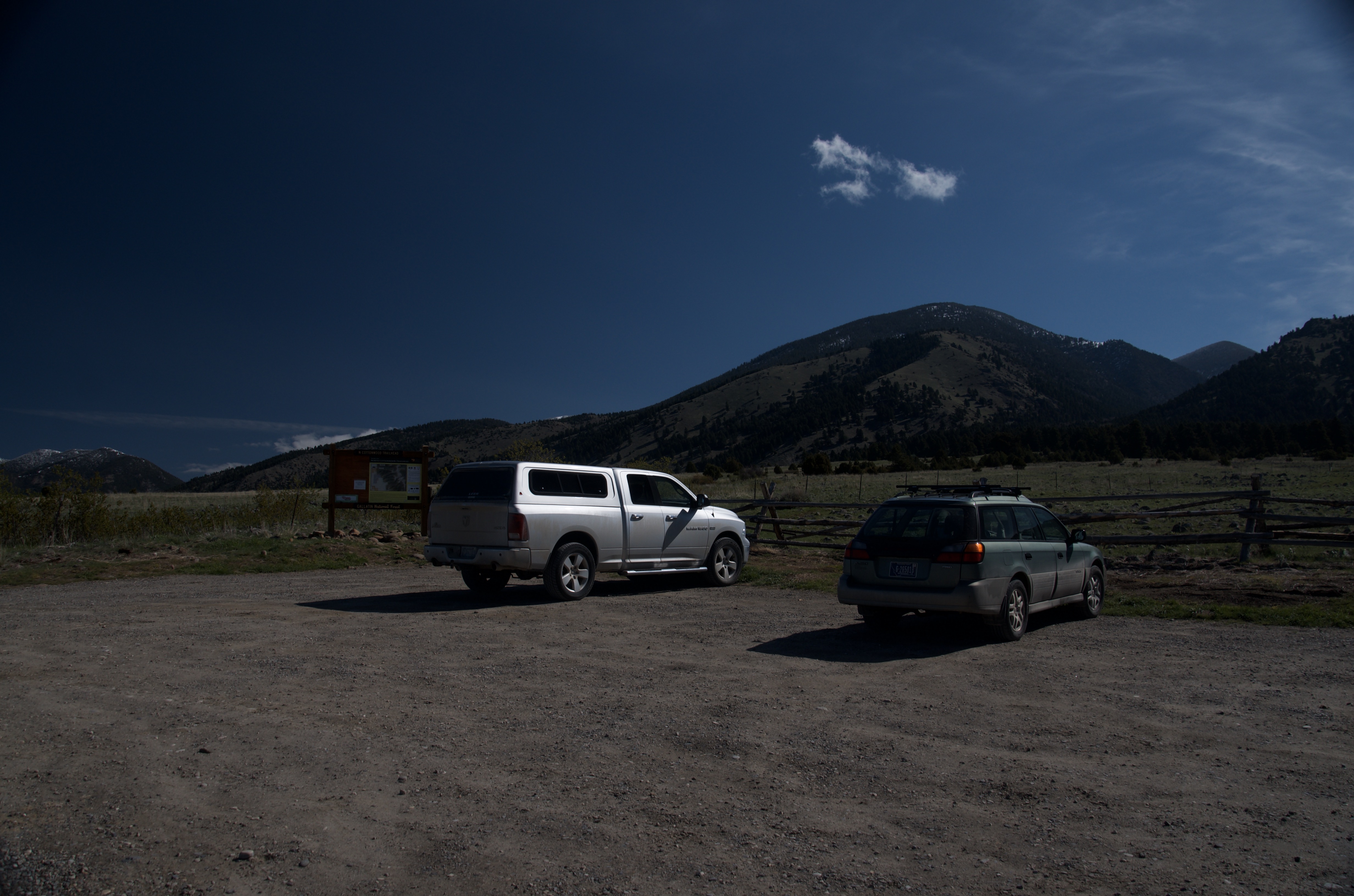
Small gravel pullout at the trailhead with room for around 6 to 8 vehicles. Fills on busy summer weekends, though this trailhead sees far less traffic than Hyalite or Bridger Bowl.
No bathroom at the trailhead. Take care of business before you leave town.
This is primarily a locals' training corridor. You will see trail runners and mountain bikers on weekday mornings. Weekend afternoons are quiet by Bozeman standards. Visitors rarely end up here.
Springhill Road is paved for the first 11 miles. Rocky Mountain Road is 4 miles of maintained gravel that most vehicles handle fine in dry conditions. No high clearance required.
Expect no service once you leave Rocky Mountain Road. Download a map before you go.
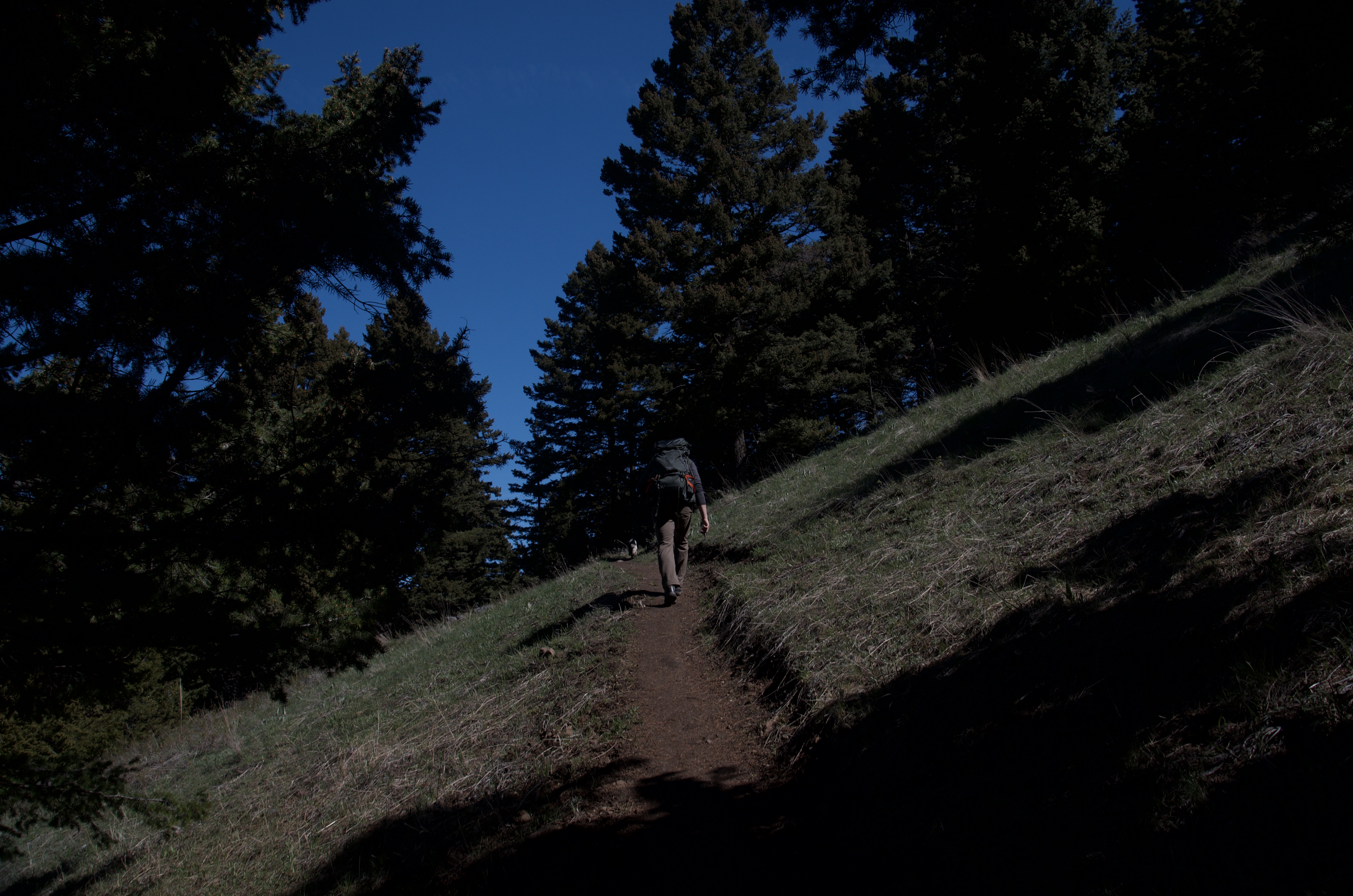
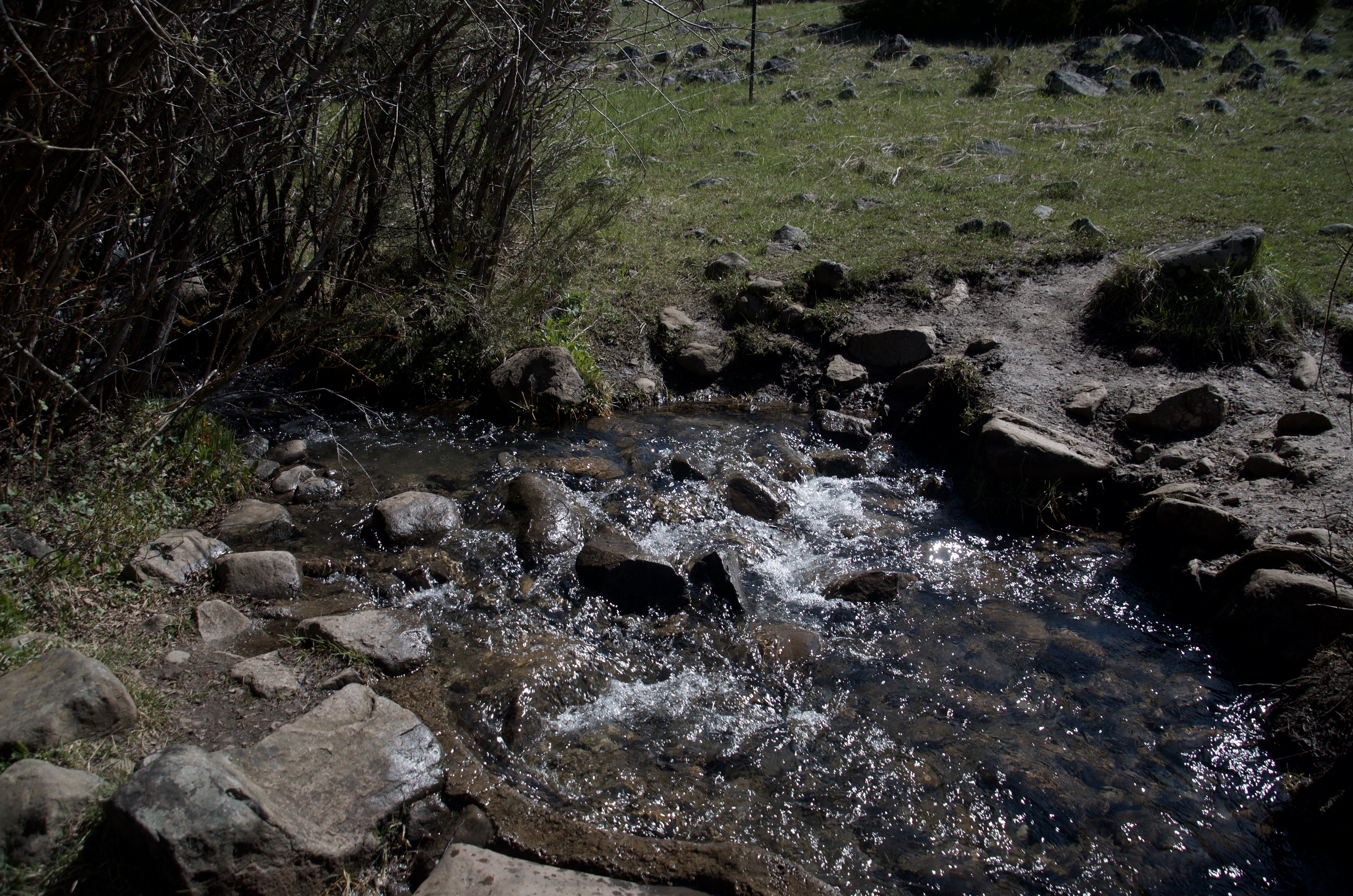
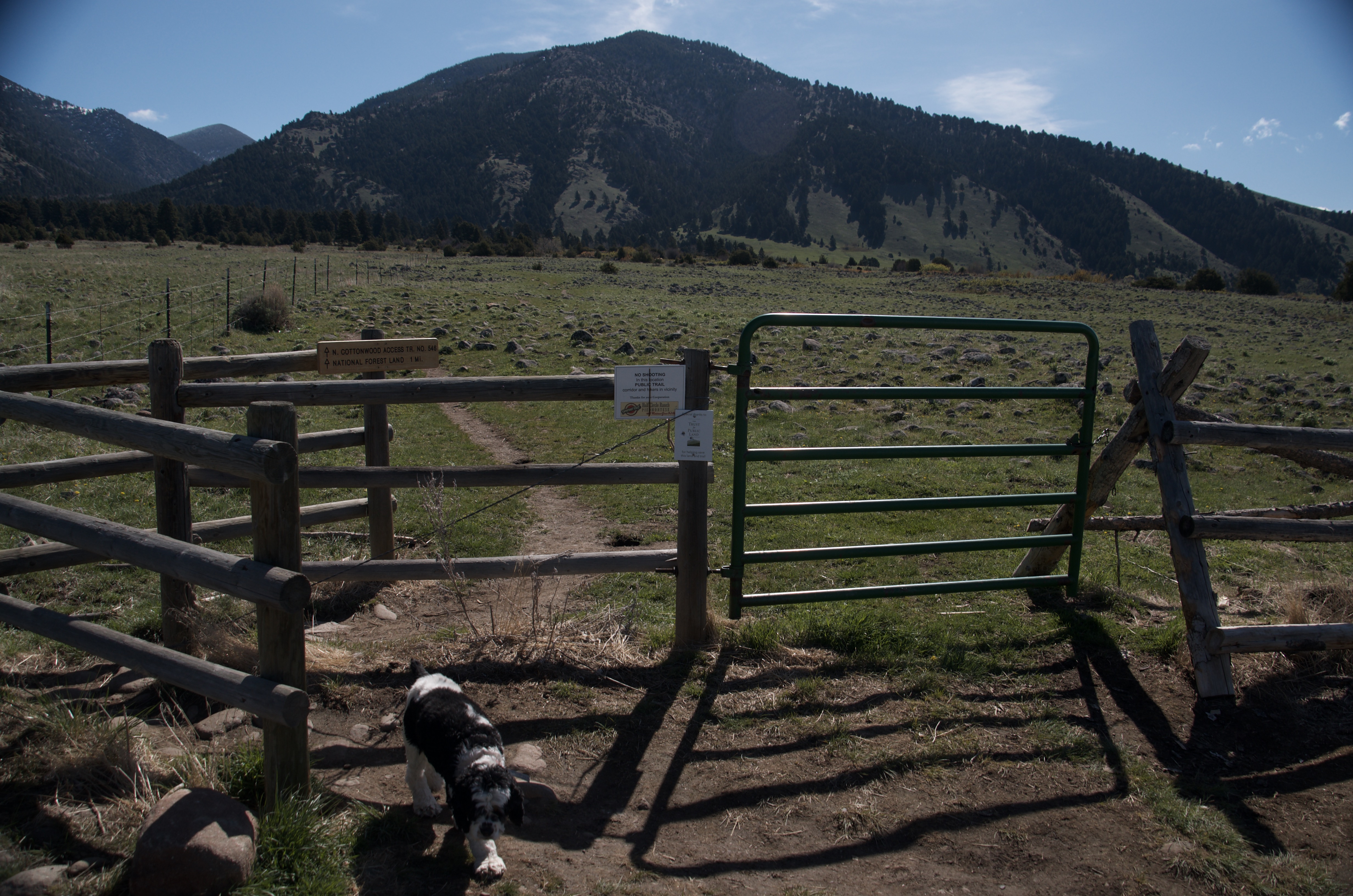
Dogs do well on this trail. Leash required through the private land easement at the start — the signs are clear about it. Once you're in the National Forest the rules relax. The creek provides water in the lower section.
15 Miles from Bozeman, MT. 20–25 Minutes
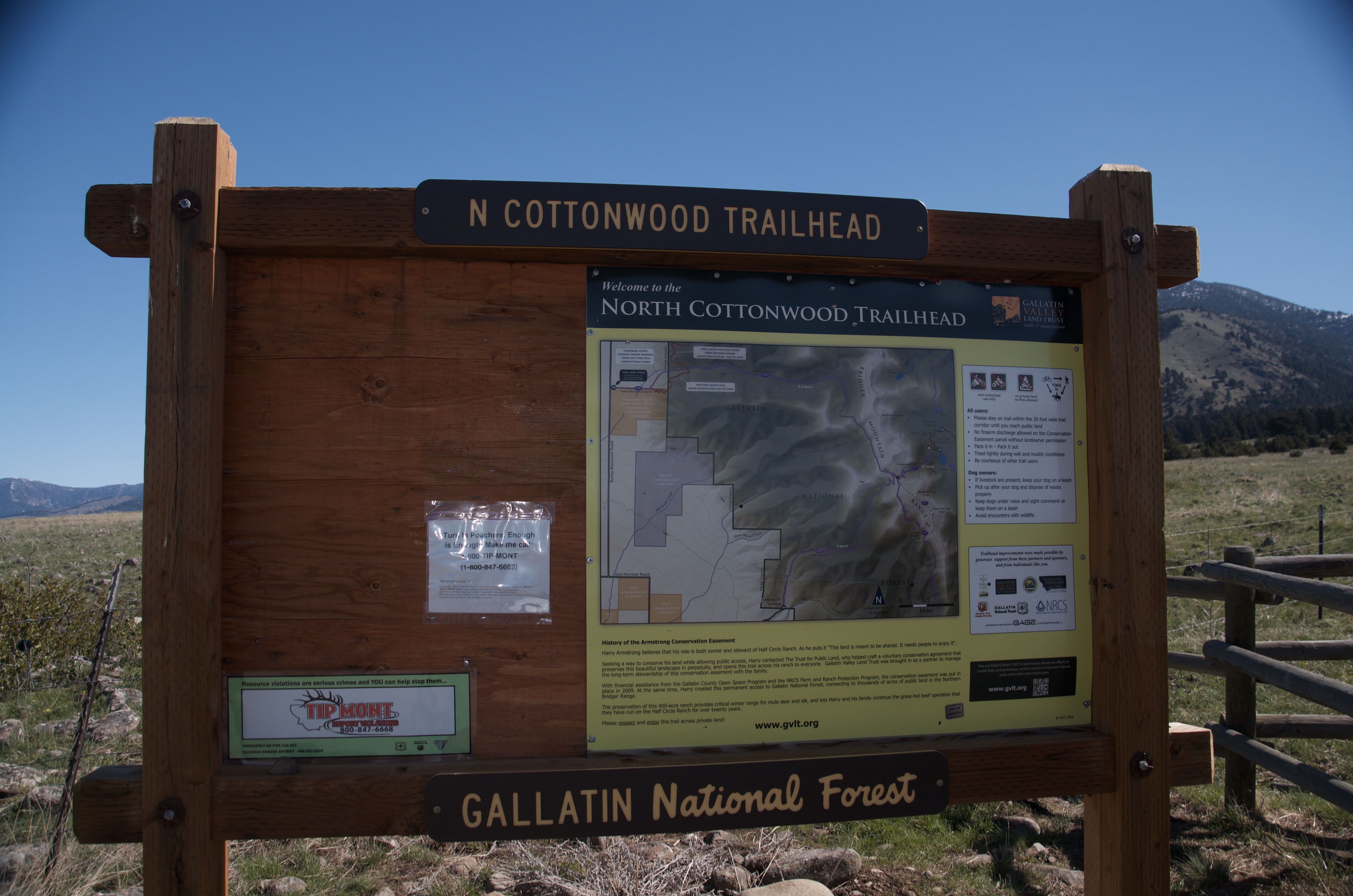
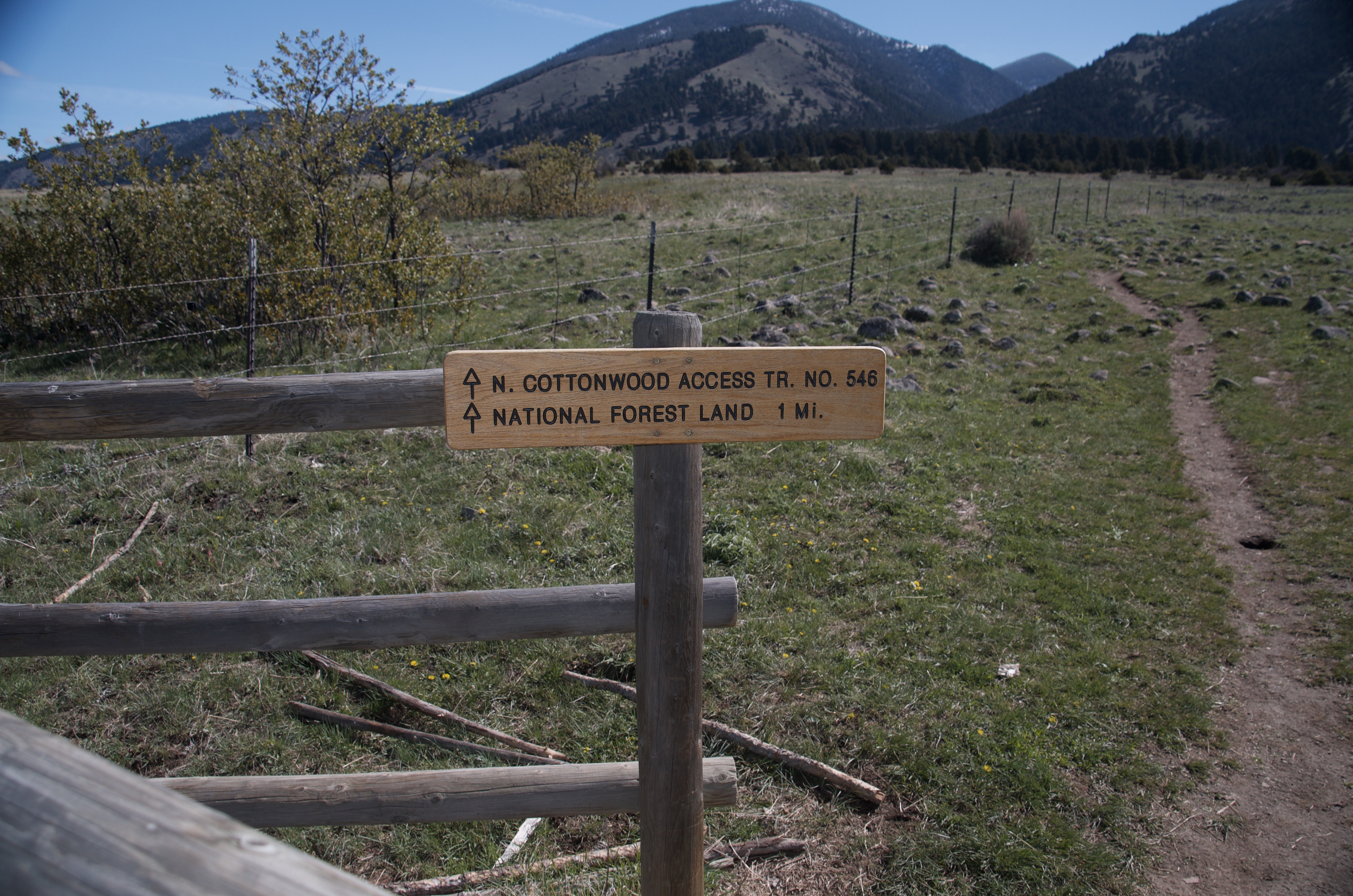
From Bozeman, head north on Springhill Road. The pavement ends around 11 miles in and the road becomes Rocky Mountain Road. Continue about 4 miles on maintained gravel to the North Cottonwood Trailhead on the right side of the road. A Gallatin National Forest kiosk marks the spot.
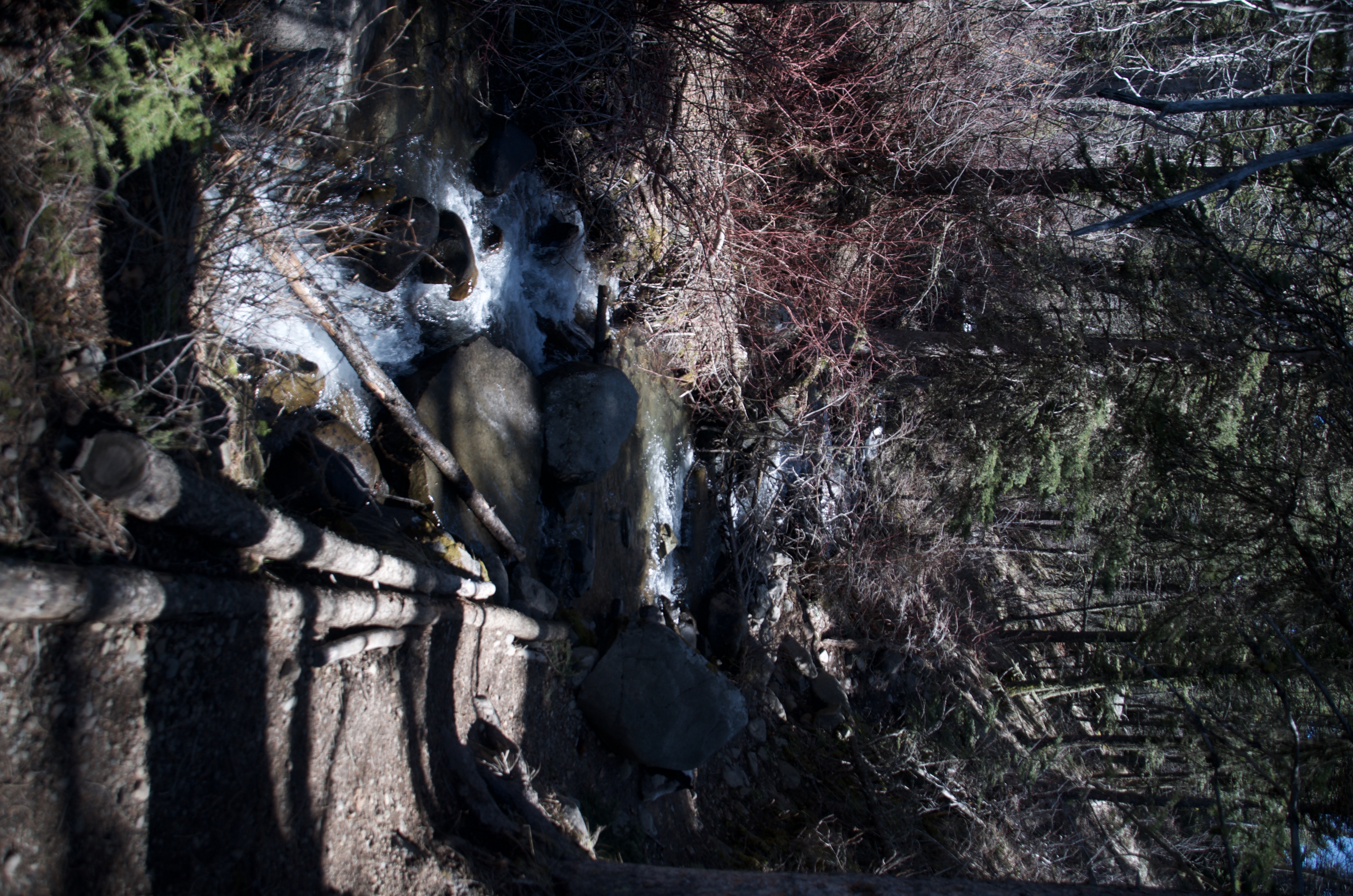
North Cottonwood Creek runs alongside the trail through most of the lower and middle sections. Carry plenty for the upper section above treeline, where water disappears.
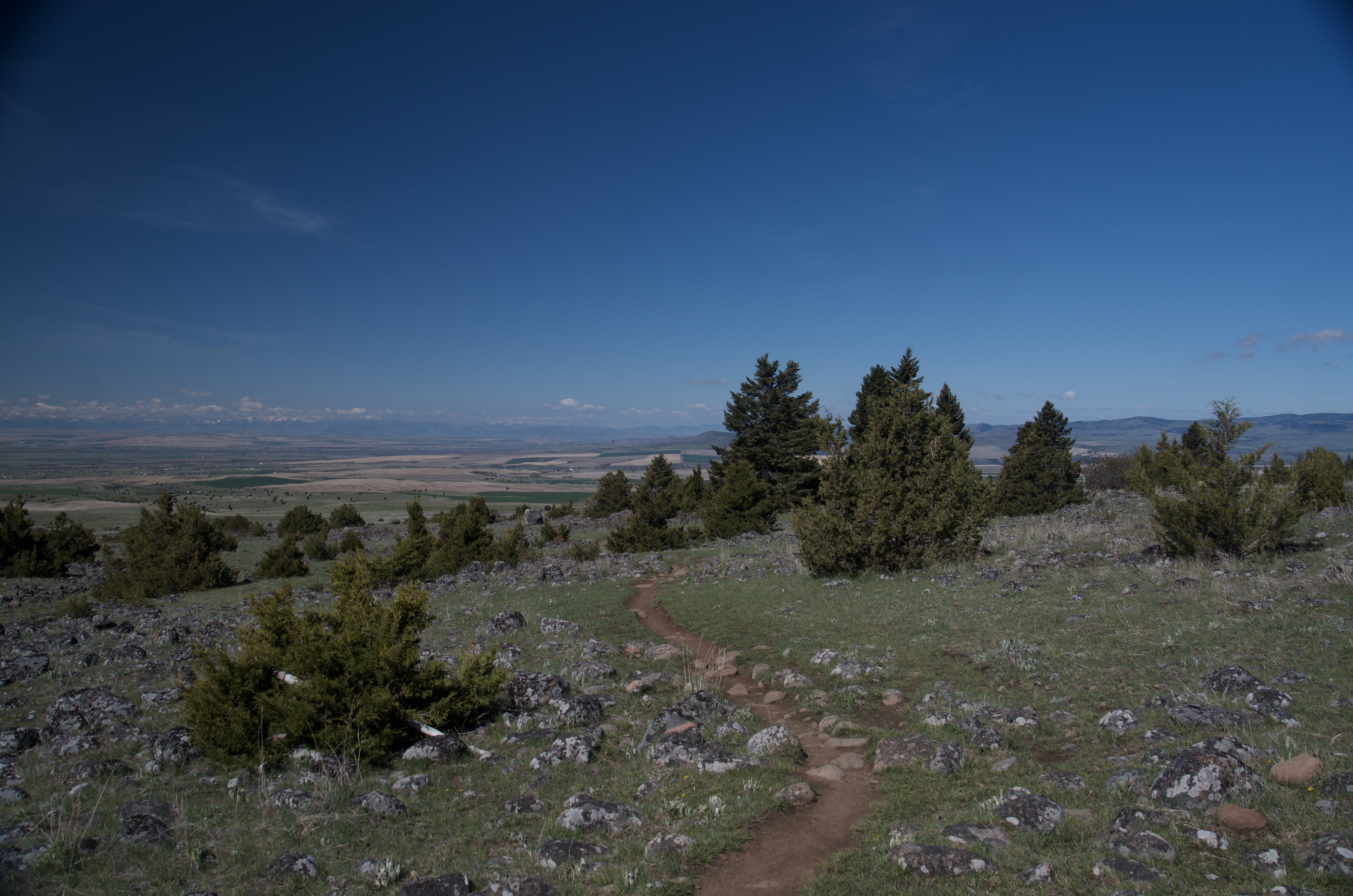
Well-defined trail throughout. The lower section can be muddy in early season after snowmelt. The upper section gets rocky above treeline. No technical obstacles.
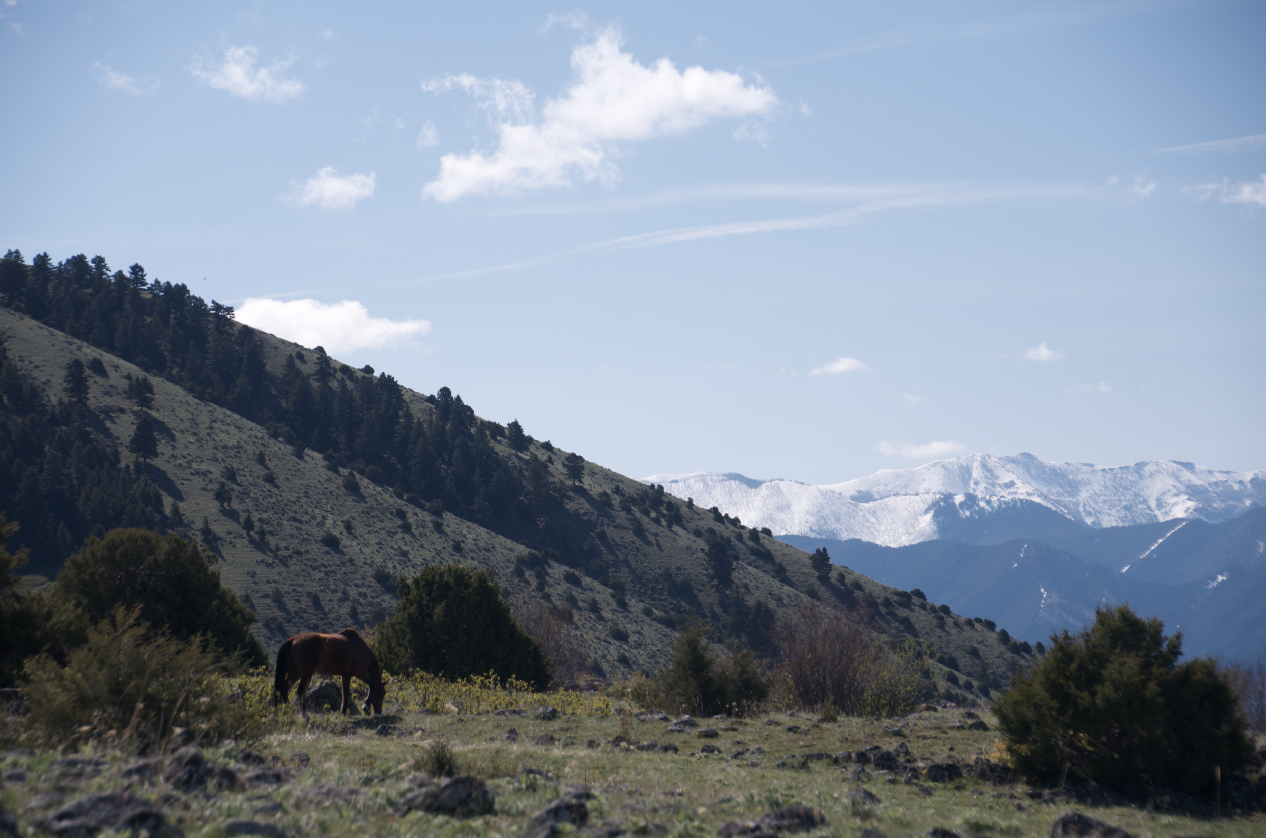
The lower forest section is shaded and stays cool. The upper section above treeline is fully exposed — bring a wind layer and sun protection. Afternoon thunderstorms build quickly in the Bridgers, so start early. Mosquito repellent is worth packing June through mid-July.
Footwear: Trail Runners or Boots
This is a longer day than it looks. Pack a real lunch and some extra snacks. The consistent grade means you're burning steadily without the natural rest breaks a steeper trail would force.
Mosquitoes along the creek corridor are legitimately bad in June and into early July. They taper off significantly after Labor Day. If bugs bother you, plan accordingly.
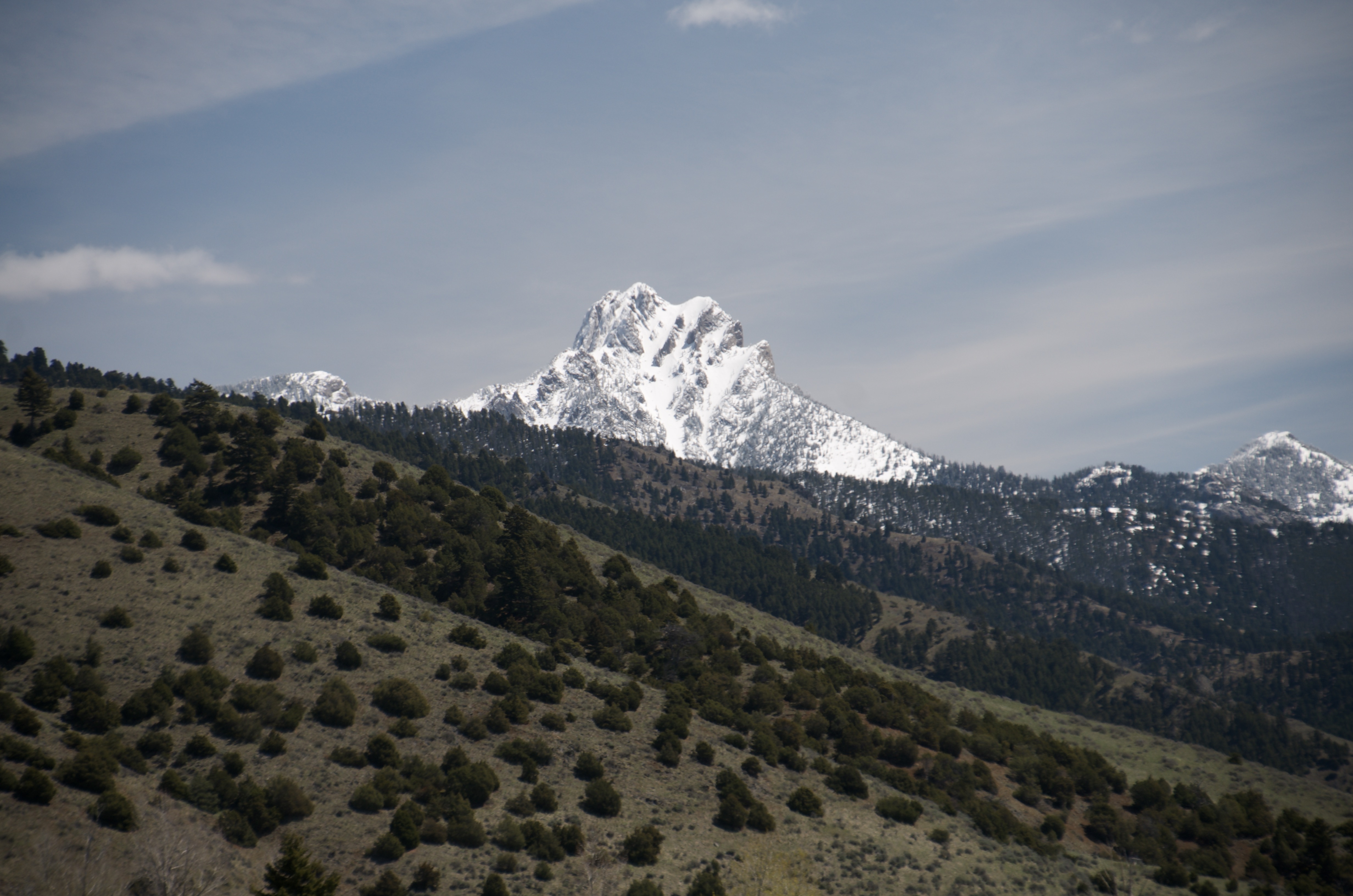
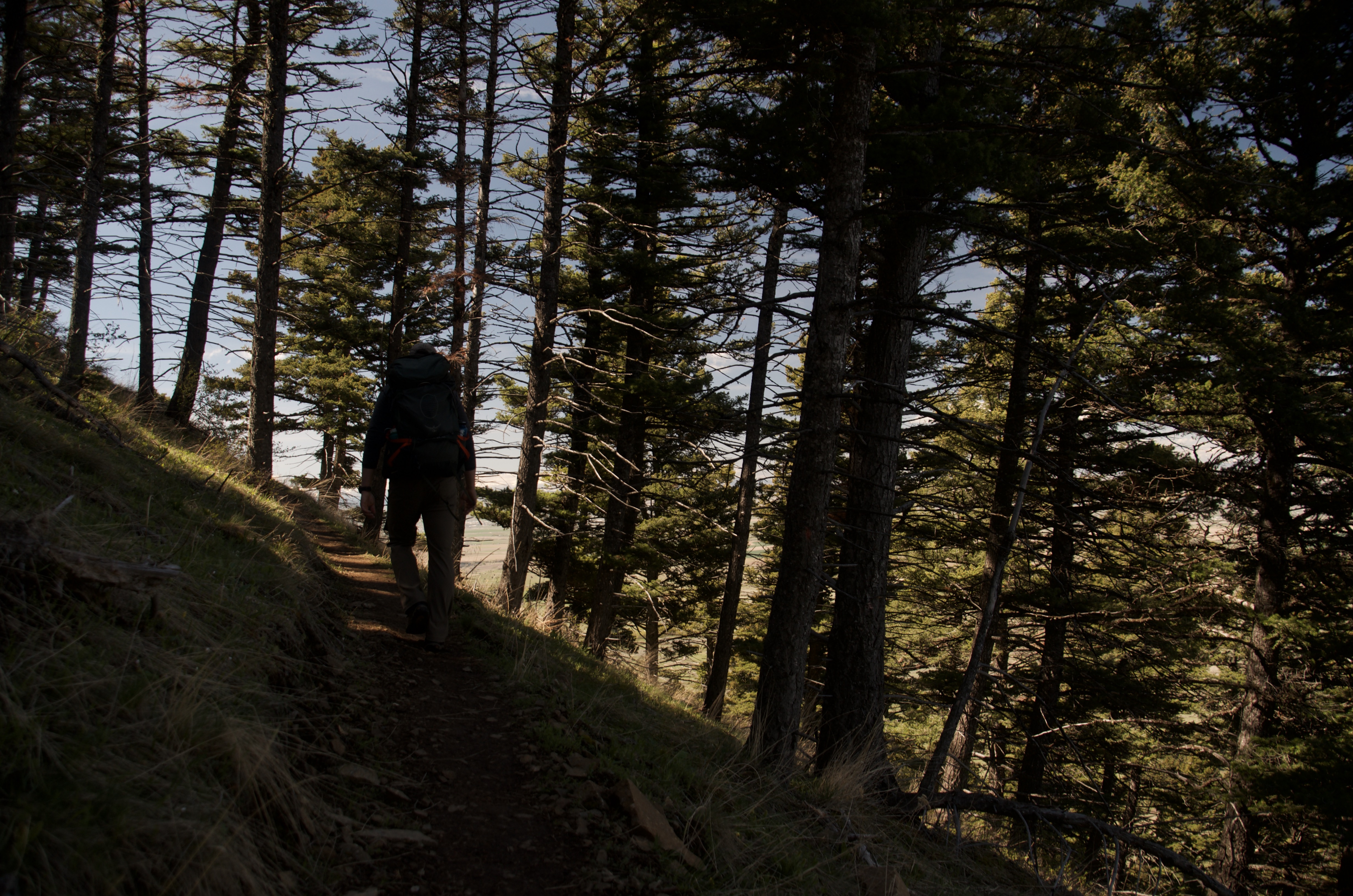
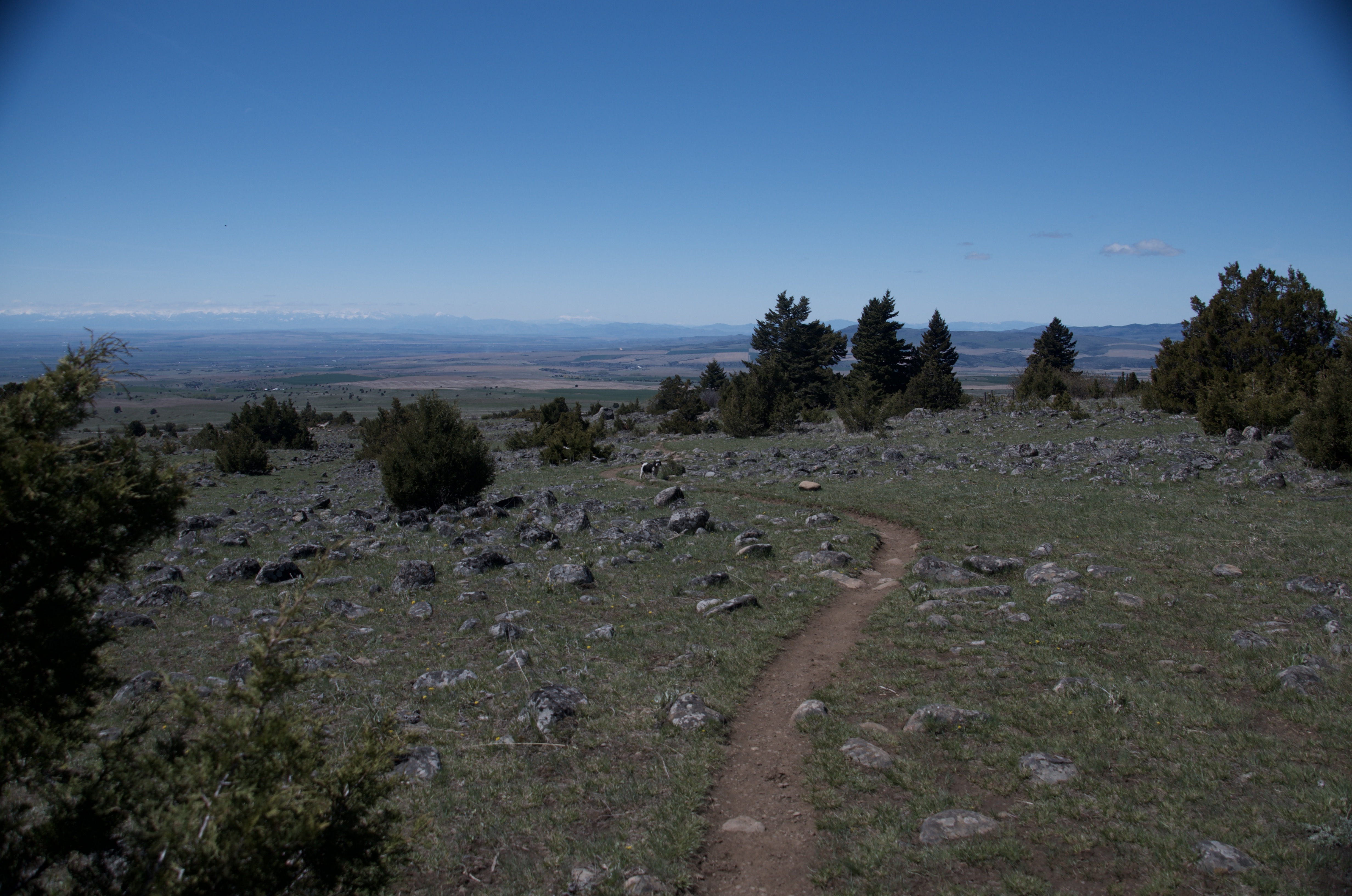
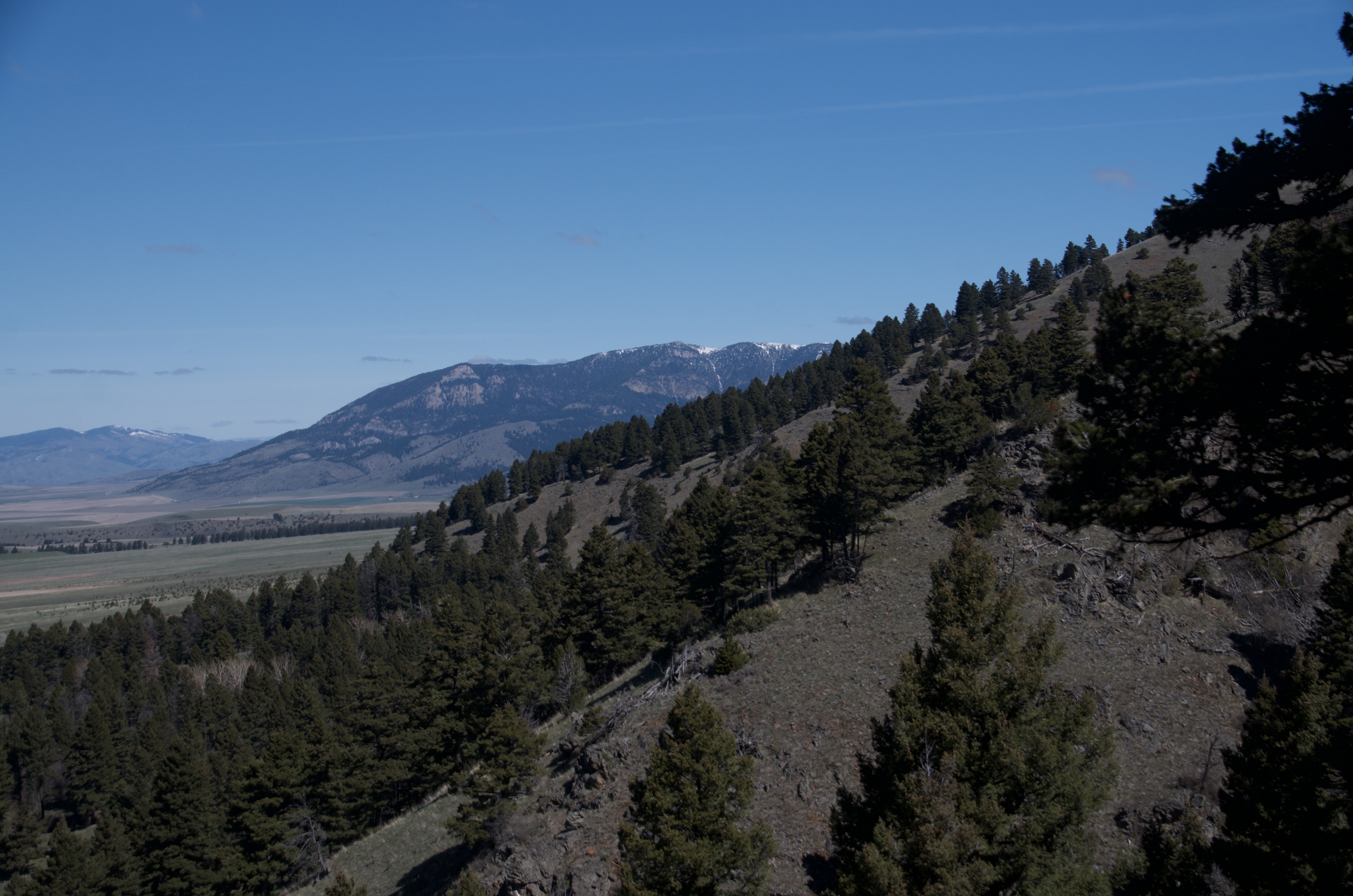
The trail is heavily forested through most of its lower and middle sections. Tree cover thins noticeably above 2.5 miles and disappears above treeline in the upper section.
Not a compelling overnight on its own, but the trail connects to Sacagawea Pass and the Bridger Ridge Traverse. People use it as an approach route for multi-day ridge objectives.
Bridger Ridge Traverse
North Cottonwood connects via Sacagawea Pass to the full Bridger Ridge Traverse — a 19.5-mile point-to-point with 5,600 feet of gain, Class 2-3 scrambling, and serious exposure. That's a different kind of day entirely.
Corbly Gulch Trail
Connects at the top of the North Cottonwood drainage and provides an alternate approach to the ridge system.
Fairy Lake
An 8-mile through-hike is possible from North Cottonwood to Fairy Lake via the ridge connection, but it requires a vehicle shuttle.
Beartooth Publishing's Bridger Range map covers this trail and is worth having. Download a map to your phone before you leave town — cell service disappears quickly.
July through September is the cleanest window. The creek road can be muddy in spring and the mosquitoes along the lower section in June are a real nuisance. Fall is underrated.
Late July–August: trail clear, mosquitoes down, best conditions across the full route
Late September and October: minimal bugs, some fall color in the lower drainage, fewest people of the year
May through mid-June: muddy road, soft trail, heavy mosquito pressure in the creek corridor
There isn't a single endpoint. The trail connects to Sacagawea Pass and the Bridger Ridge Traverse. Most day hikers turn around somewhere between 4 and 6 miles. The meadow below Hardscrabble Peak around mile 4 to 5 is a common stopping point.
Moderate. The gain is steady over 12 miles without steep pitches or technical terrain. Distance is the main challenge, not difficulty.
Yes. Leash required through the private land easement at the start of the trail. The signs are clear about where that section is.
Yes. The trail was built with multi-use in mind — consistent grade, smooth tread, good flow on the way down. Popular with local riders.
Most people find them manageable by late July. The creek corridor in June and early July is the worst of it. After Labor Day they're essentially gone.
Yes, in dry conditions. Springhill Road is paved for 11 miles, and the final 4 miles on Rocky Mountain Road is maintained gravel that most vehicles handle fine.
Plug 12.3 miles and 2,000 feet of elevation gain into our free hiking time calculator for a personalized estimate.