The stats on Triple Tree don't fully sell it. Five and a half miles and 900 feet of gain is a solid workout, but that is not the reason people drive out to Sourdough Road.
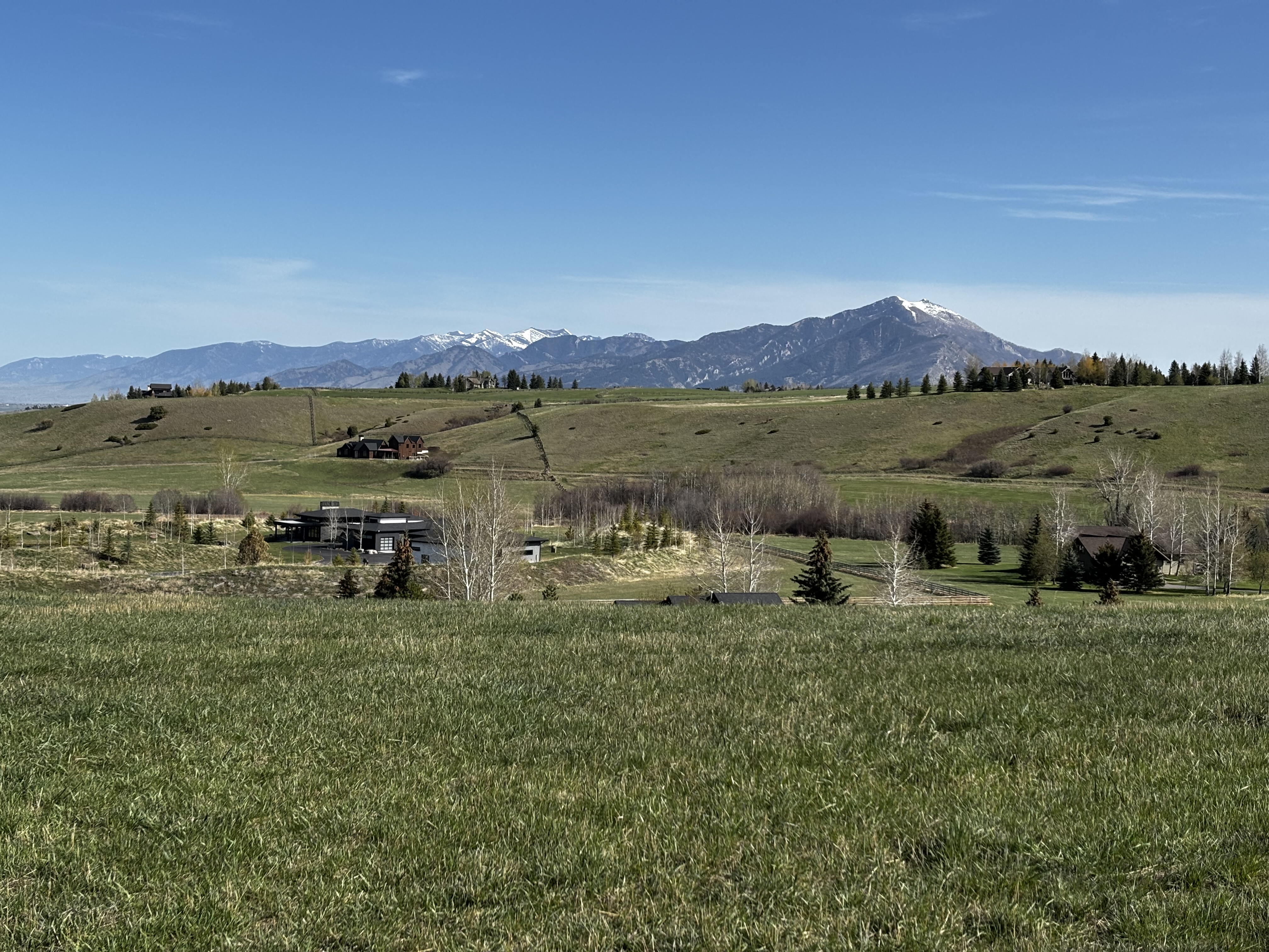
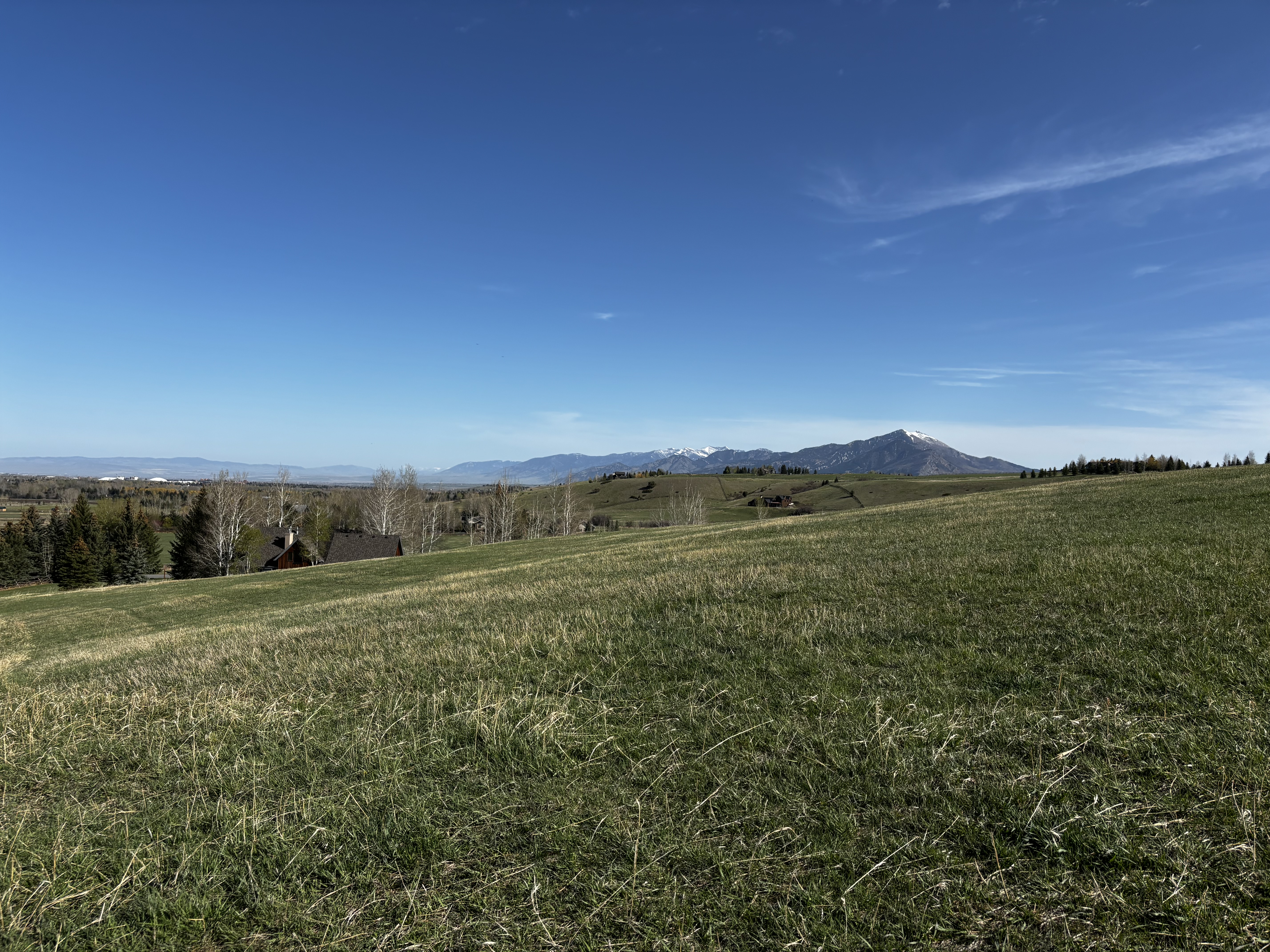
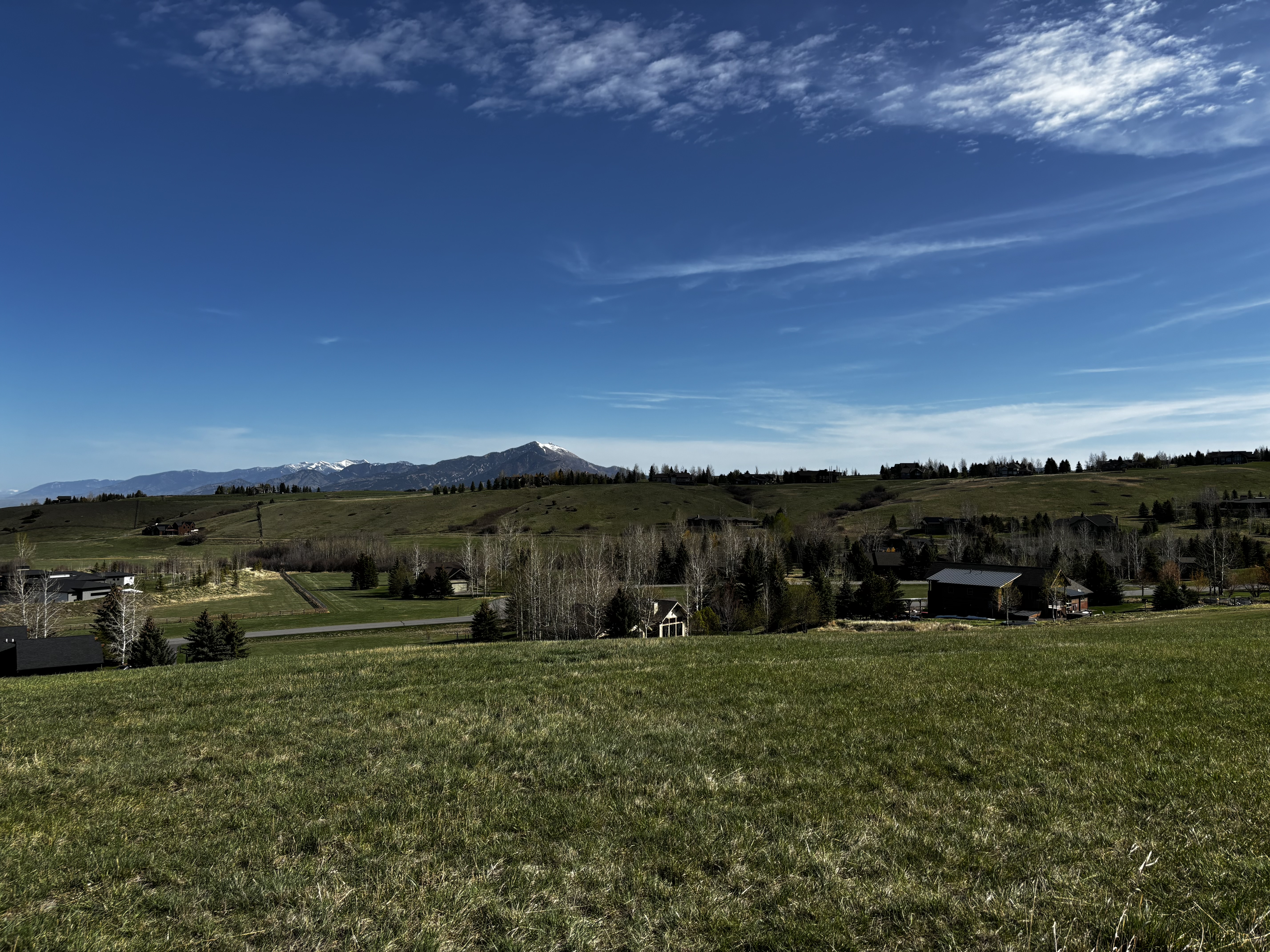
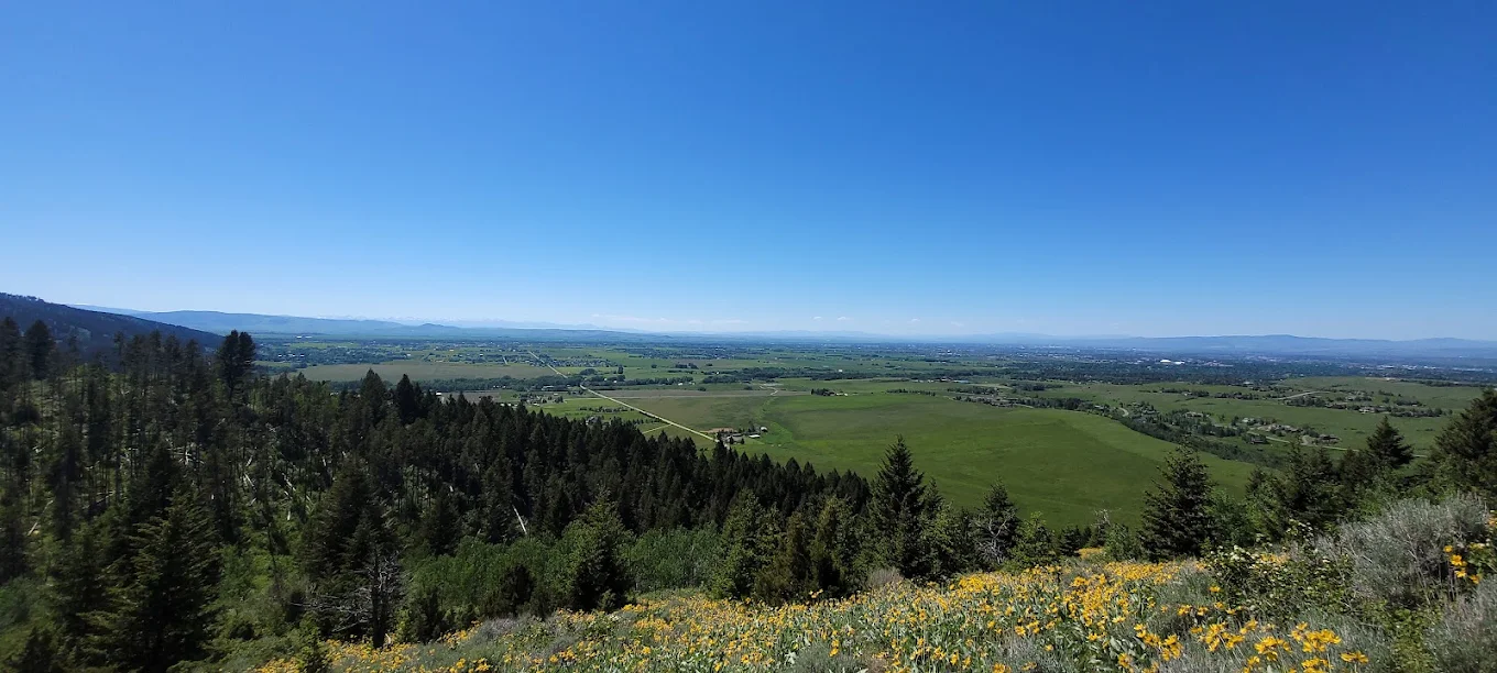
The reason is the bench at the top of the loop. It faces the entire Gallatin Valley, and the afternoon wind hits that specific spot in a way that keeps it cool even when the lower meadows are baking. On days when isolated thunderstorms are pushing across the valley floor, you can sit there and watch them move from one side to the other while staying completely dry. Reviewers describe this bench with more specificity than anything else on the trail, which tells you something about what the hike is actually for.
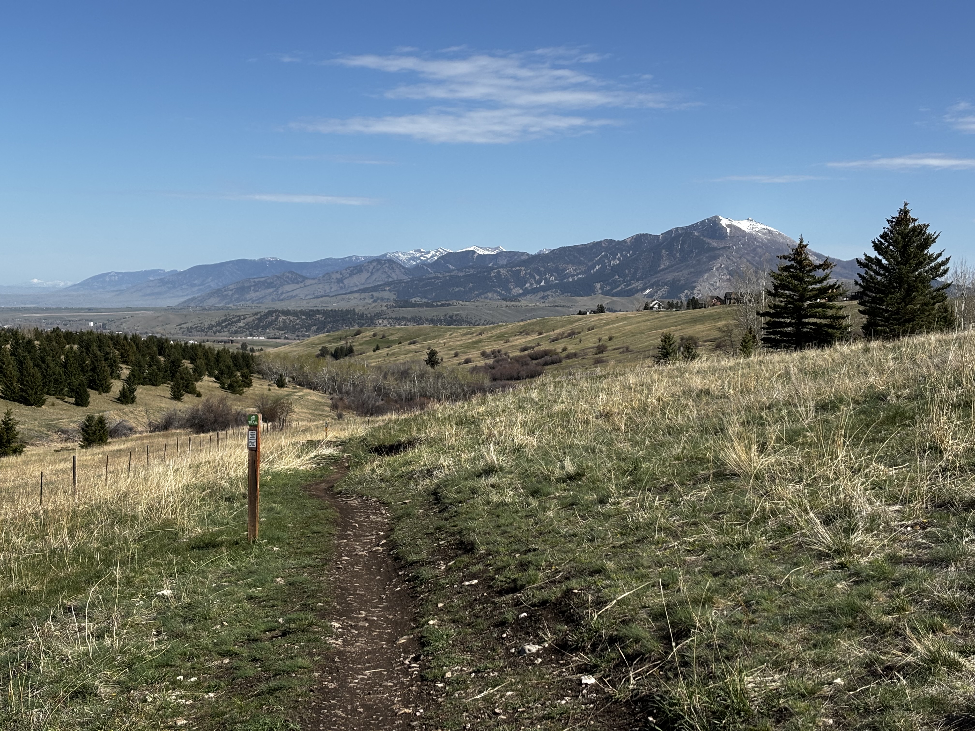
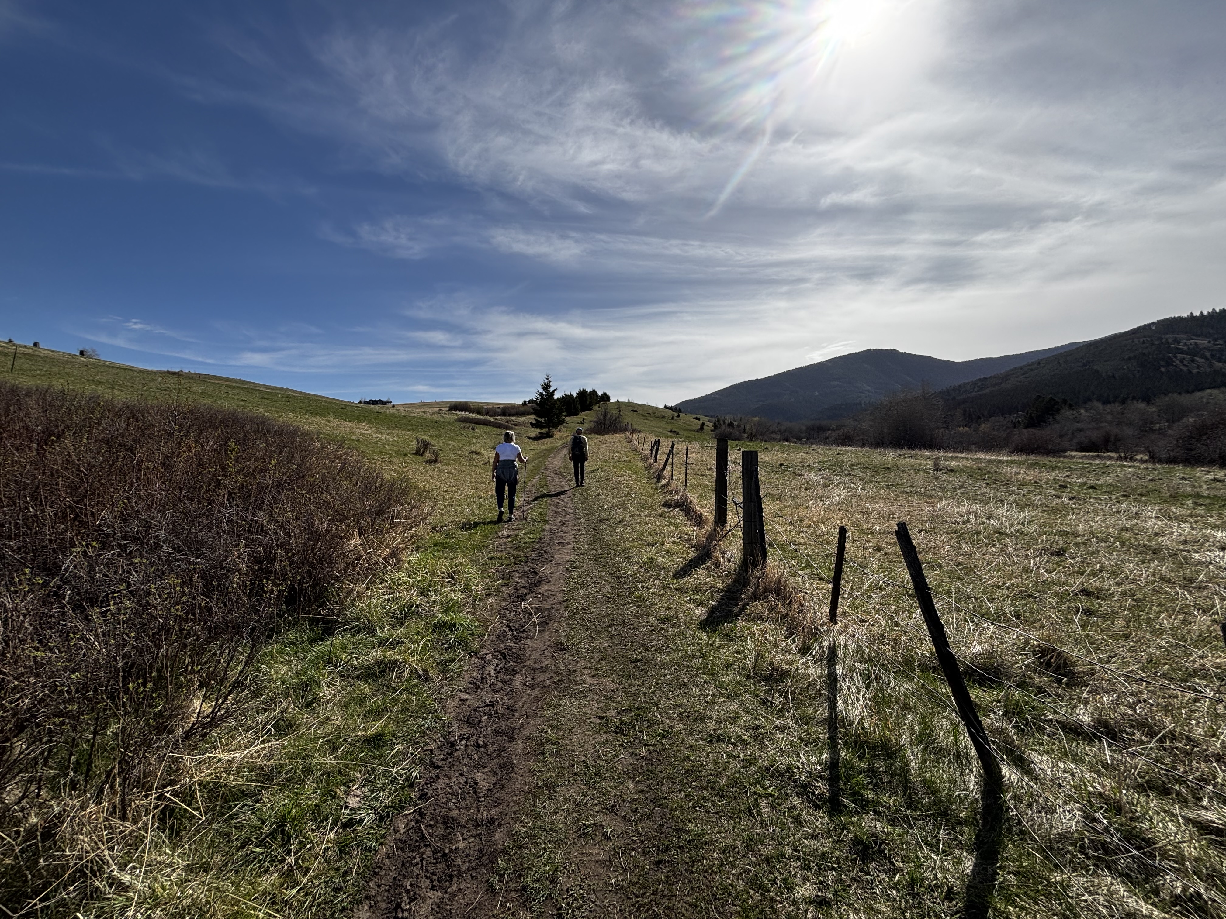
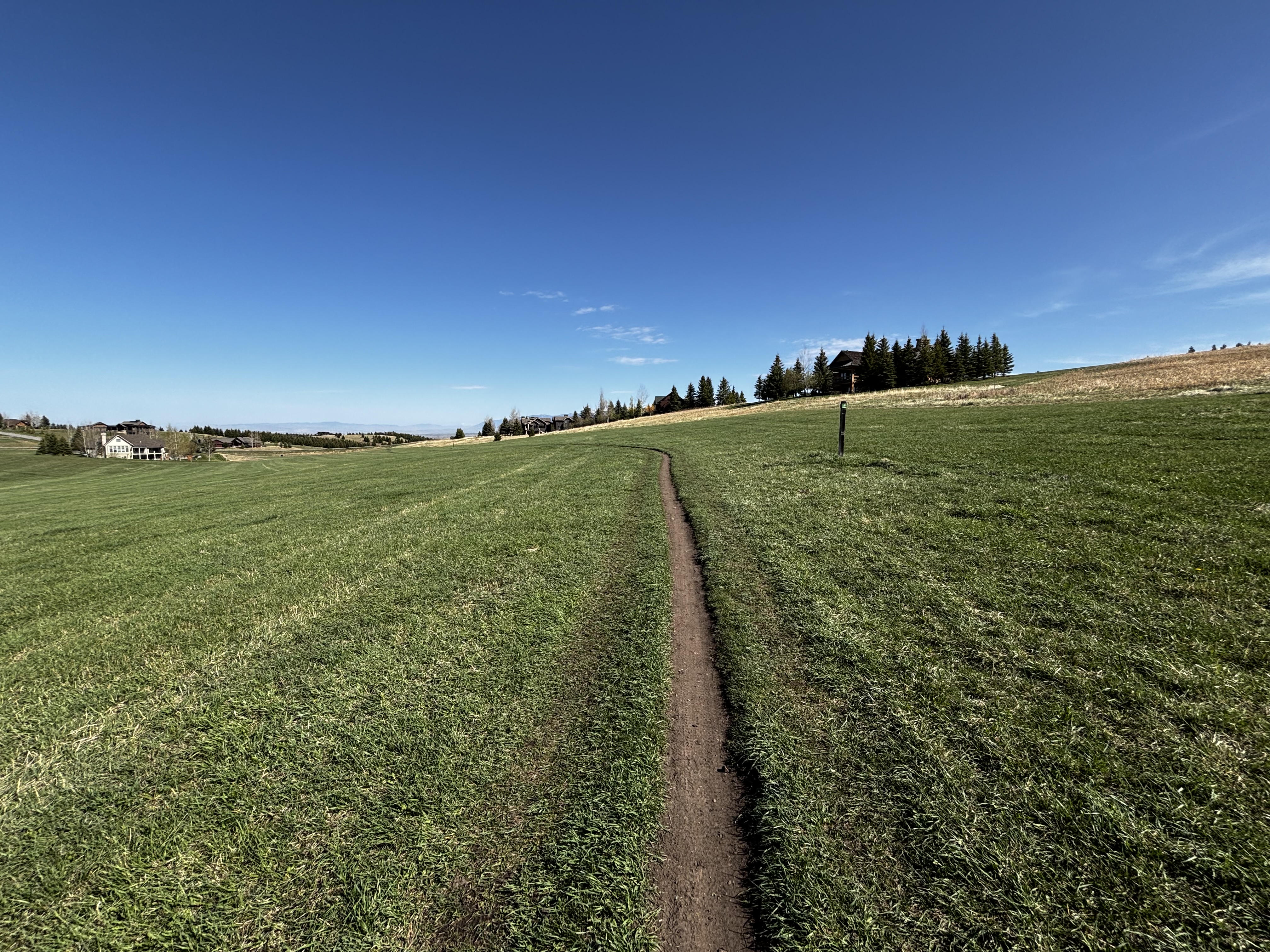
The trail earns the bench. Hiking counter-clockwise, staying left at the fork, gives you a gradual climb through shaded switchbacks before the ridge opens up. The full descent is then down the open slope with the valley in front of you the whole way. Go clockwise and you get the steep unshaded push on the climb and the views at your back on the way home. That is one of those things generic trail apps don't bother to mention, and it makes a real difference.
The gravel lot on Sourdough Road holds about 15 to 20 cars and fills quickly on weekends and sunny weekday afternoons. If it is full, there is limited roadside parking on Sourdough Road. Don't park in the Triple Tree Ranch subdivision — signs at the entrance ask you to use the Sourdough Road lot.
No bathroom at the trailhead. Take care of business before you leave Bozeman.
One of the most trafficked trails near Bozeman for a hike of this length. Expect trail runners, families, dog walkers, and mountain bikers sharing the trail. Weekday mornings are the quietest window. Dog traffic is heavy, and leash compliance is inconsistent despite the posted signs.
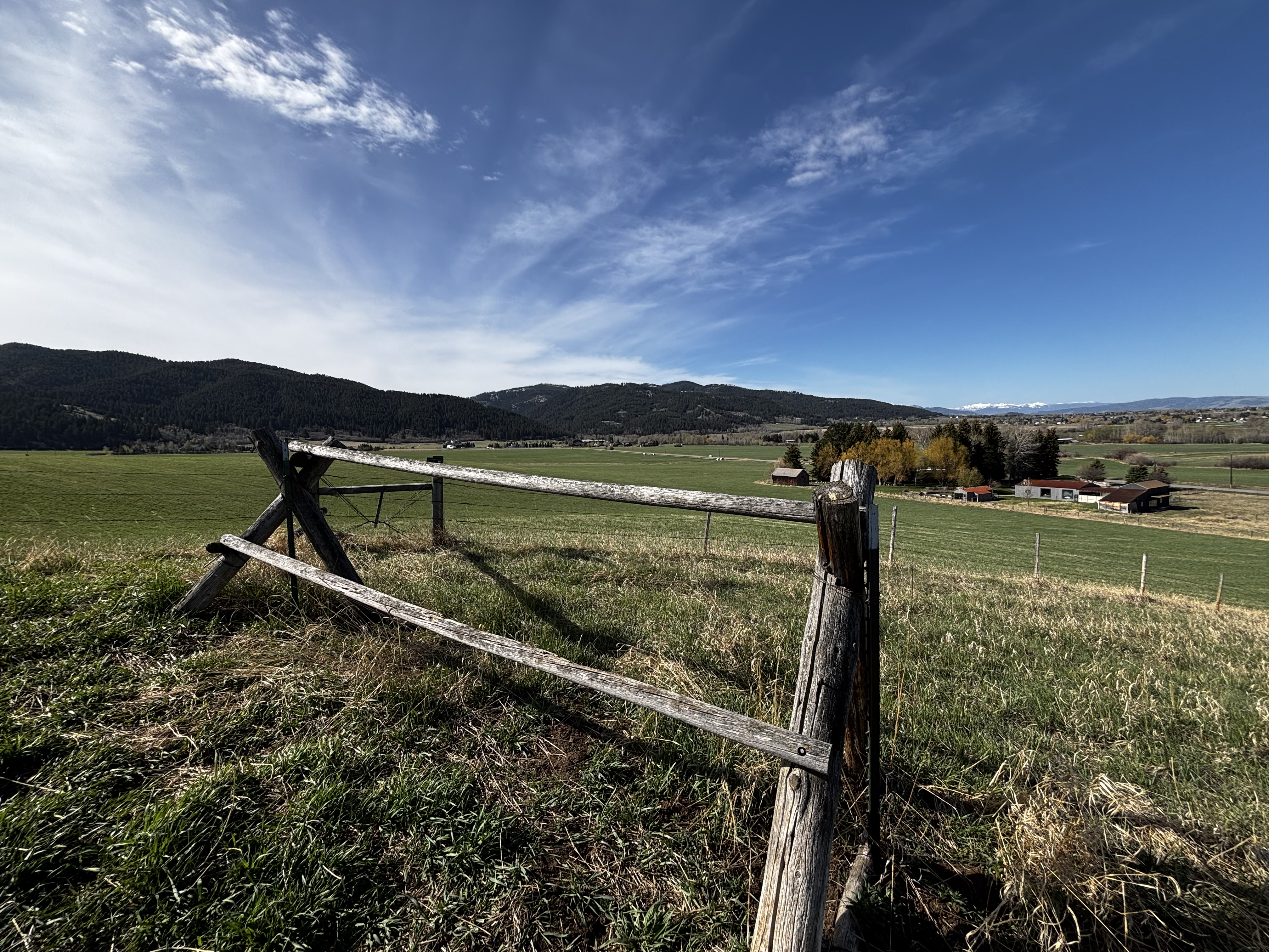
Paved road the entire way. Sourdough Road is in good shape year-round.
Strong service throughout most of the hike. You may lose a bar in the dense timber section but will have full signal at the summit.
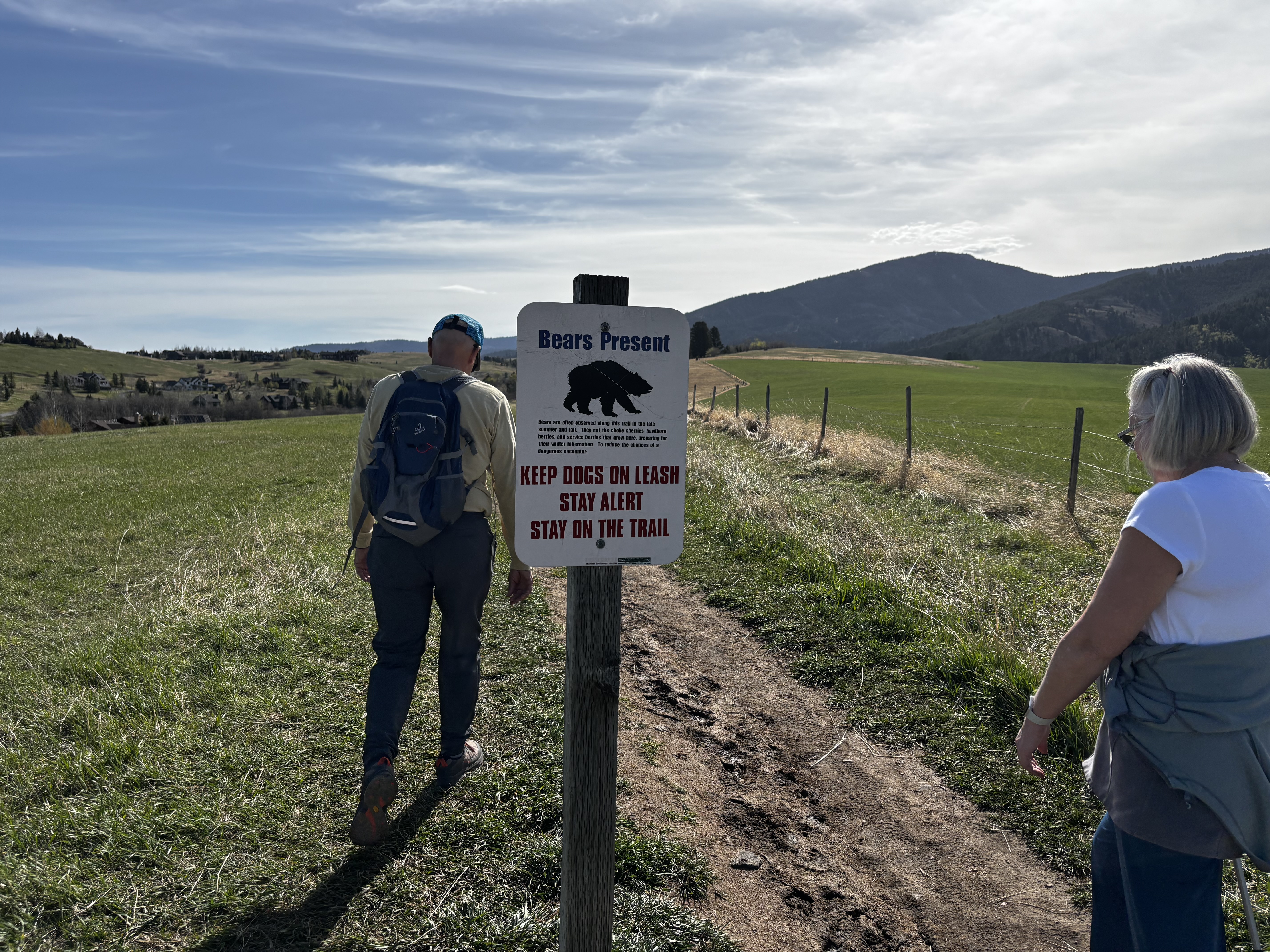
Dogs are allowed but leashes are required. There are active bear signs at the trailhead and the leash rule is serious here. The trail is also heavily used by mountain bikers, and the lower Limestone Creek section has fast blind corners where a loose dog is a real problem. Bring a leash and use it.
Sourdough Road. 5 miles from downtown Bozeman. About 12 minutes.
From downtown Bozeman, head south on South Church Avenue, which becomes Sourdough Road once you cross Main Street. Continue south past Kagy Boulevard and keep going another 3 miles. The gravel parking lot is on the left, just past the Triple Tree Ranch subdivision entrance. There is a clear kiosk and gate at the trailhead — you can't miss it. Don't park in the subdivision. Signs at the neighborhood entrance ask you to use the Sourdough Road lot.
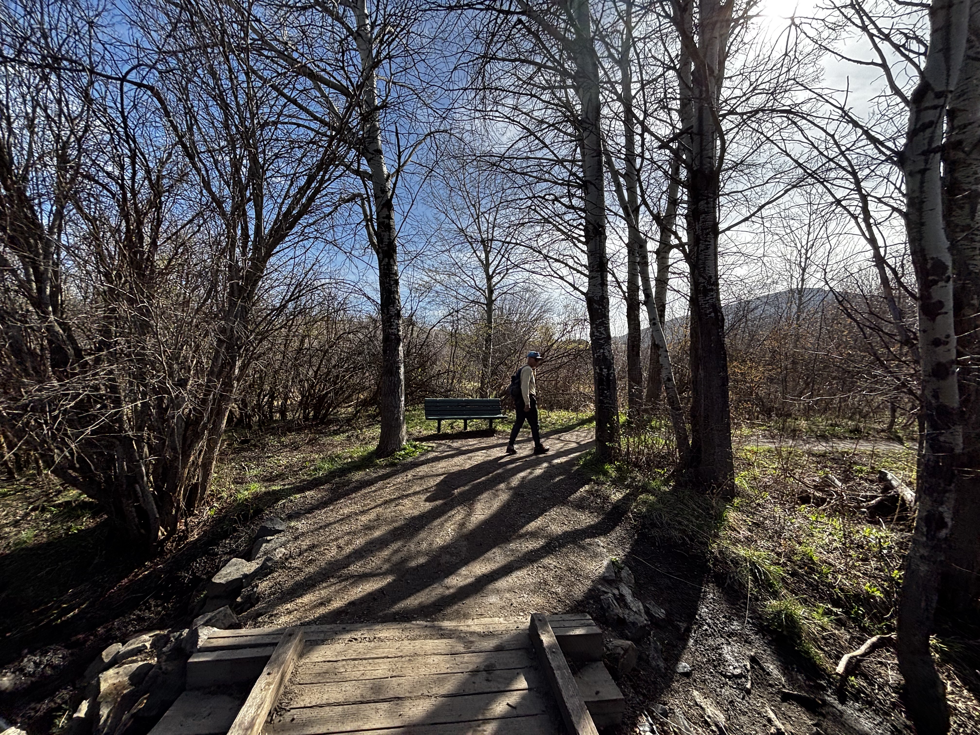
Limestone Creek runs through the lower section near the boardwalk crossing. Don't count on it being drinkable without treatment. The upper ridge has no water. Bring at least 32 oz for a warm-weather hike.
32 oz consumed per person
Well-maintained and easy to follow in dry conditions. The lower section near Limestone Creek gets churned up badly after spring snowmelt, typically mid-March through mid-May. Skip it until things dry out. The upper forested switchbacks hold hard-packed ice for weeks after the lower trail looks clear, so pack microspikes in your bag during shoulder season even if you are sweating at the trailhead.
The lower meadow section is fully exposed and bakes in summer, so pack sun protection. In the shoulder seasons, April through May and October, the temperature in the upper timber section runs 10 to 15 degrees cooler than the trailhead. Pack a light layer even if you are warm when you start.
Footwear: Trail Runners
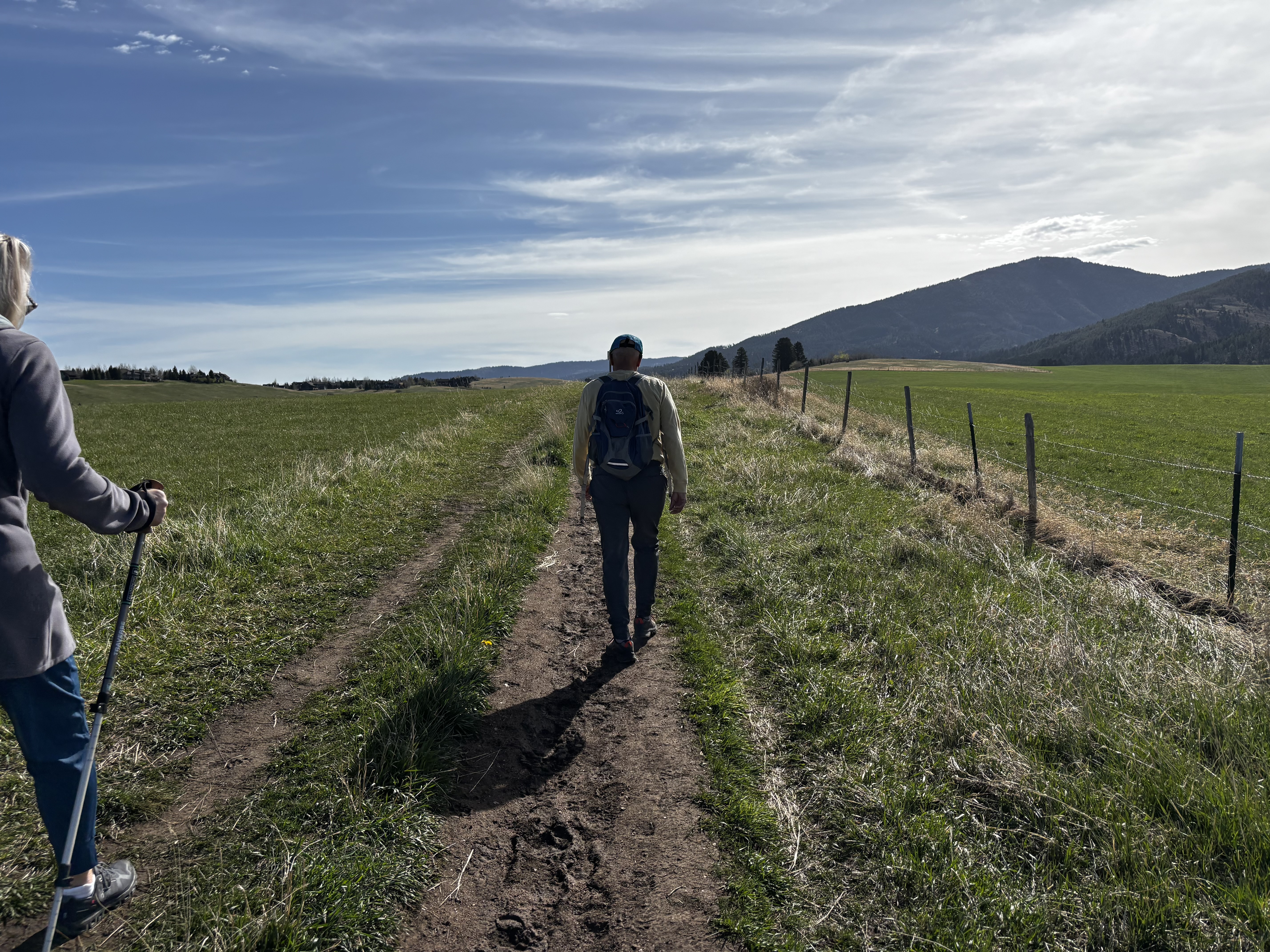
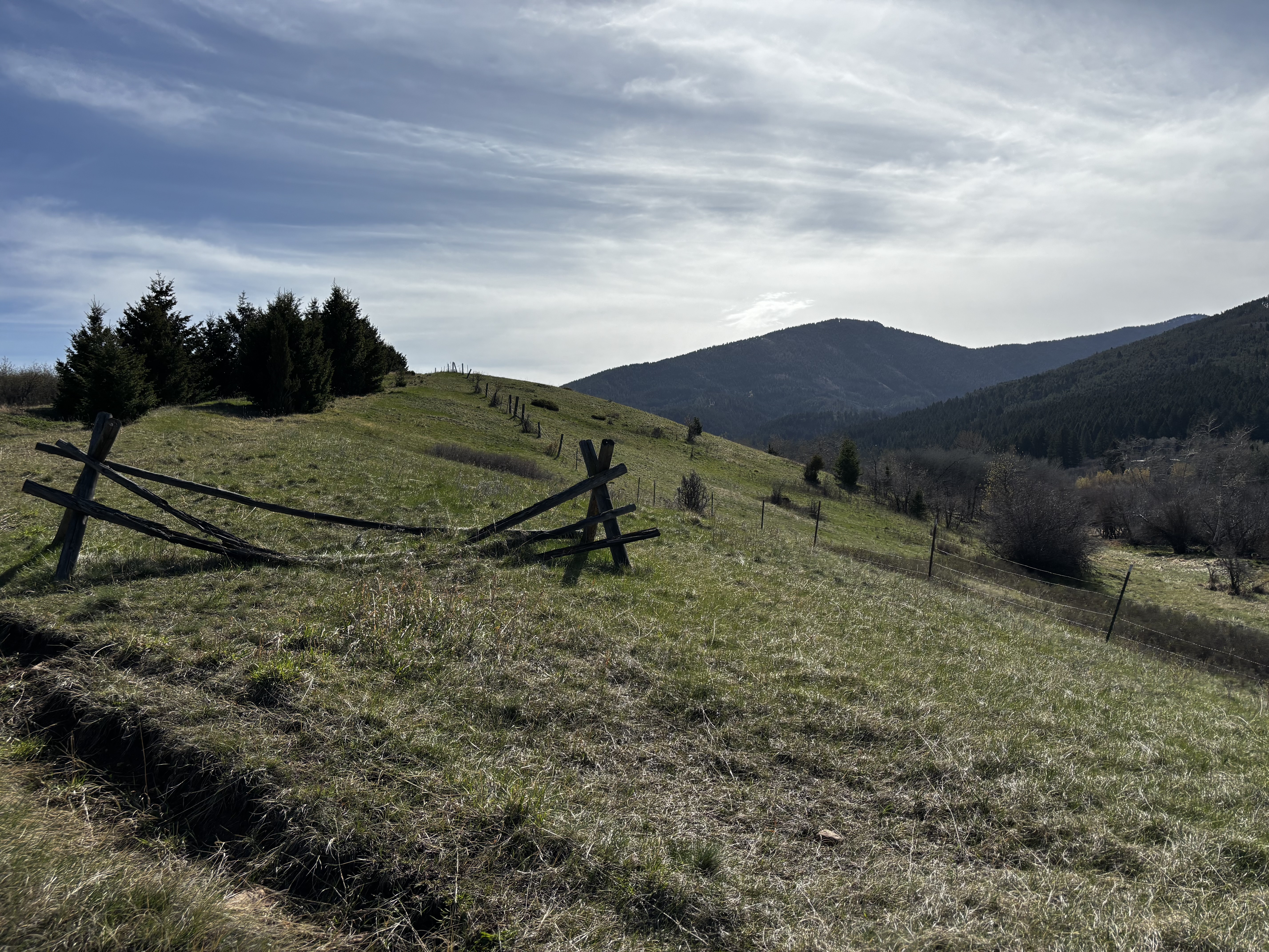
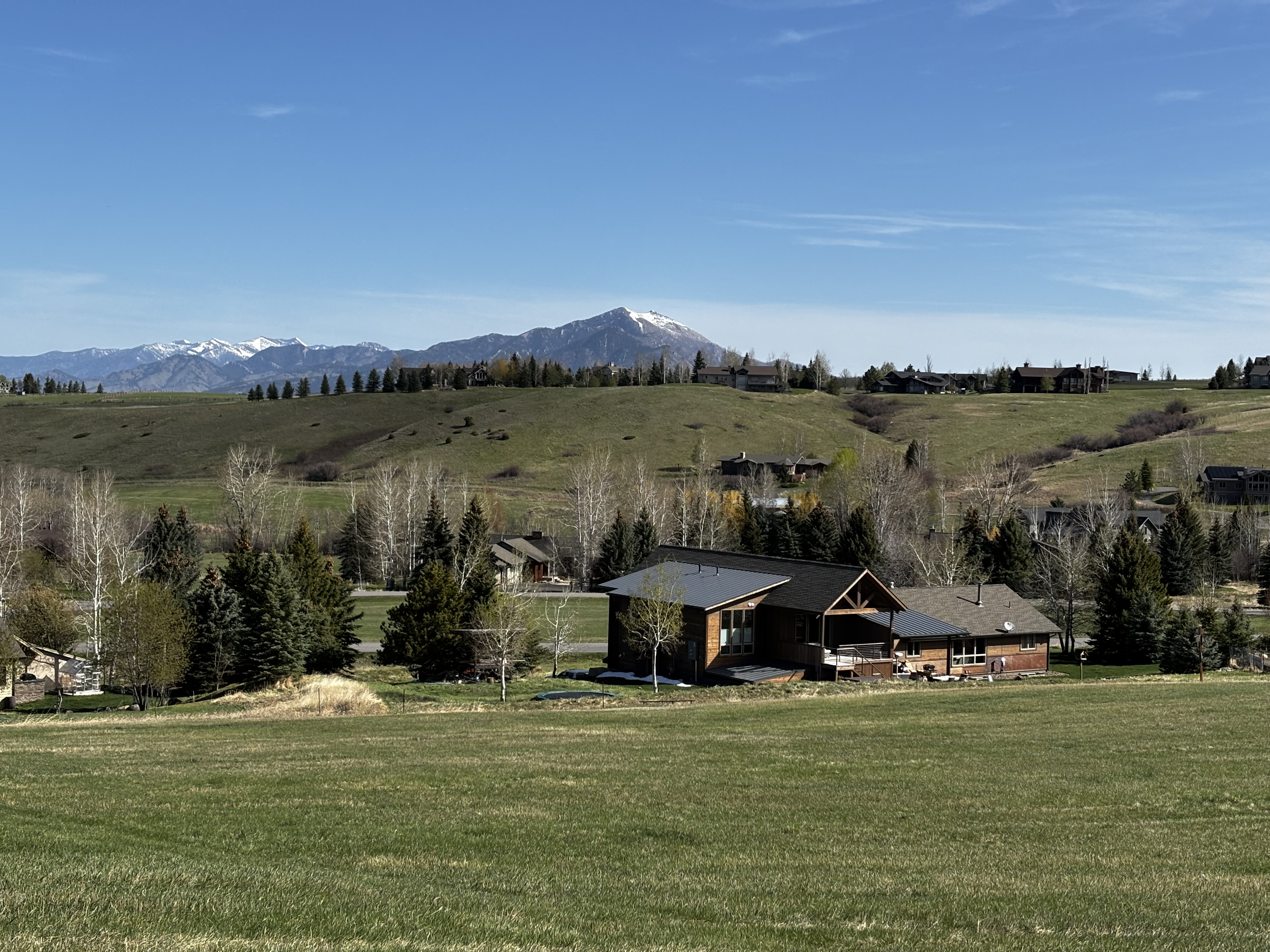
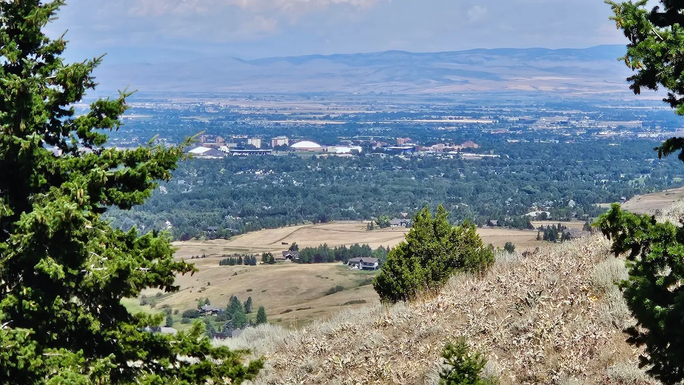
The bench at the summit is the obvious lunch spot. On a clear day you are looking at the full Gallatin Valley with the Tobacco Root Mountains in the distance. Plan to spend time there.
The Limestone Creek corridor can have mosquitoes from late June through August. Bring bug spray if you are hiking in the morning or planning to linger near the creek.
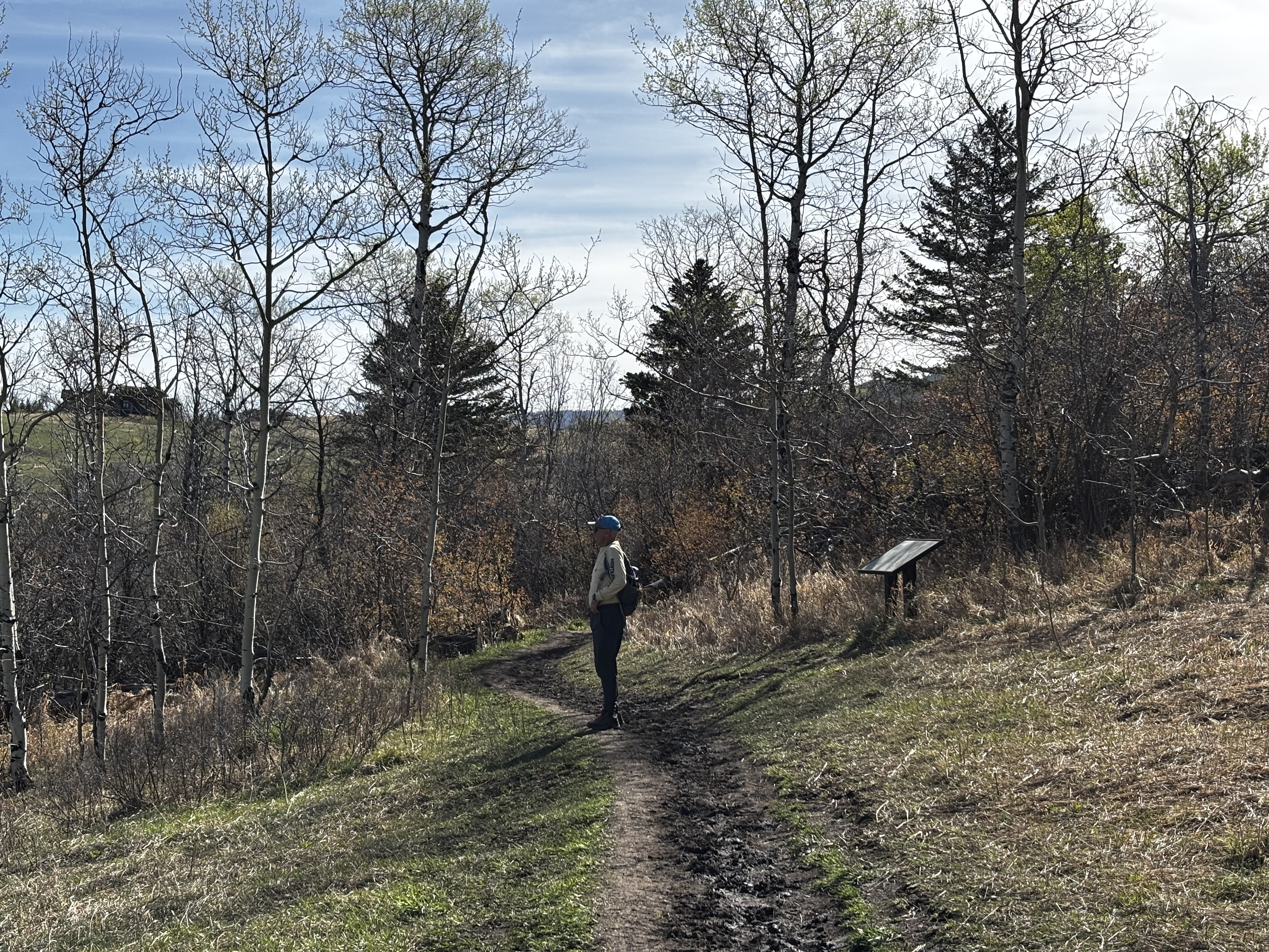
The lower meadows and the open ridge have no shade. The upper switchback section runs through dense north-facing timber and is noticeably cooler, which is a meaningful difference in what you need to pack for shoulder-season hikes.
No overnight camping. The trailhead has explicit no overnight parking and no camping signs posted.
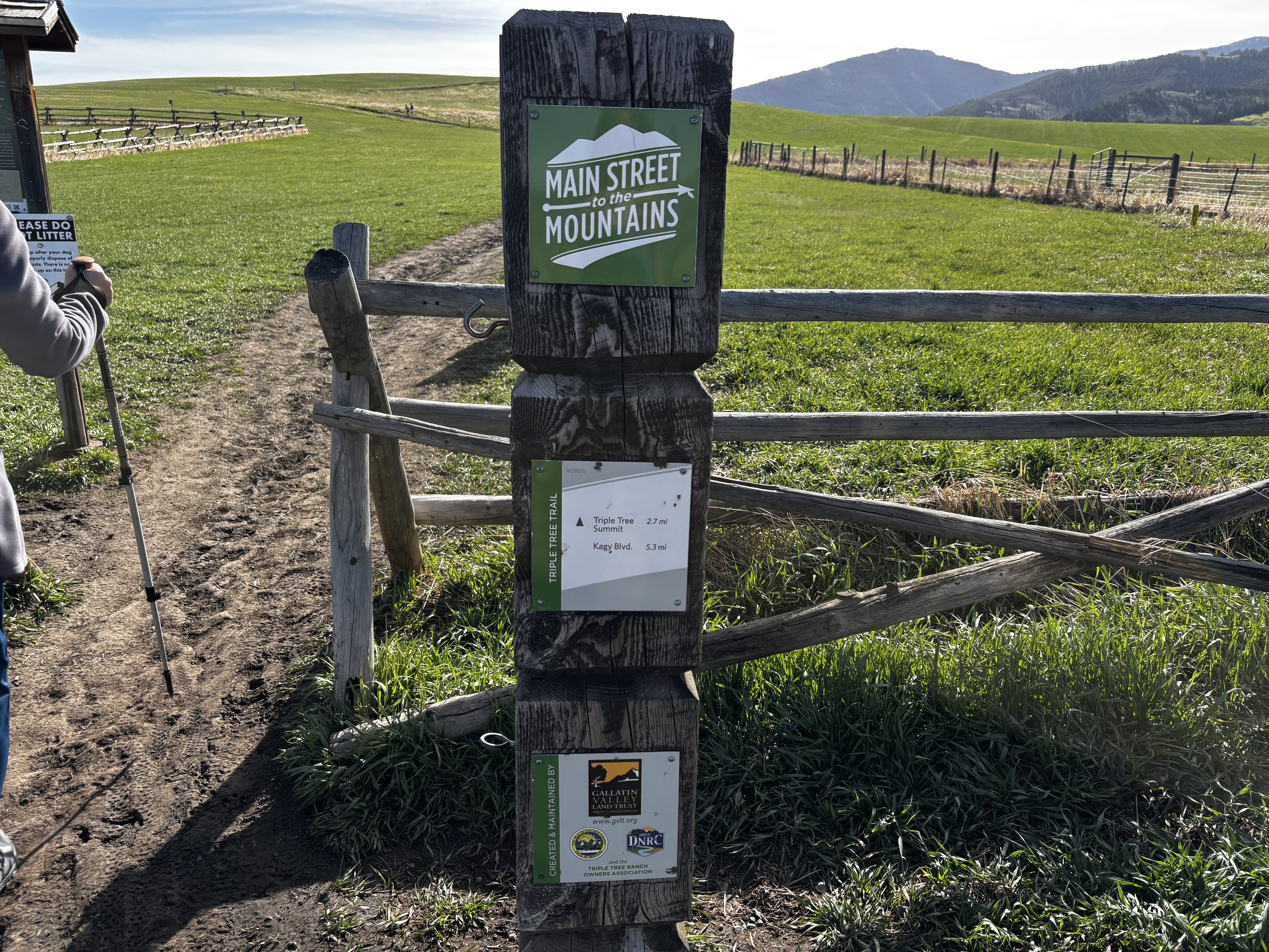
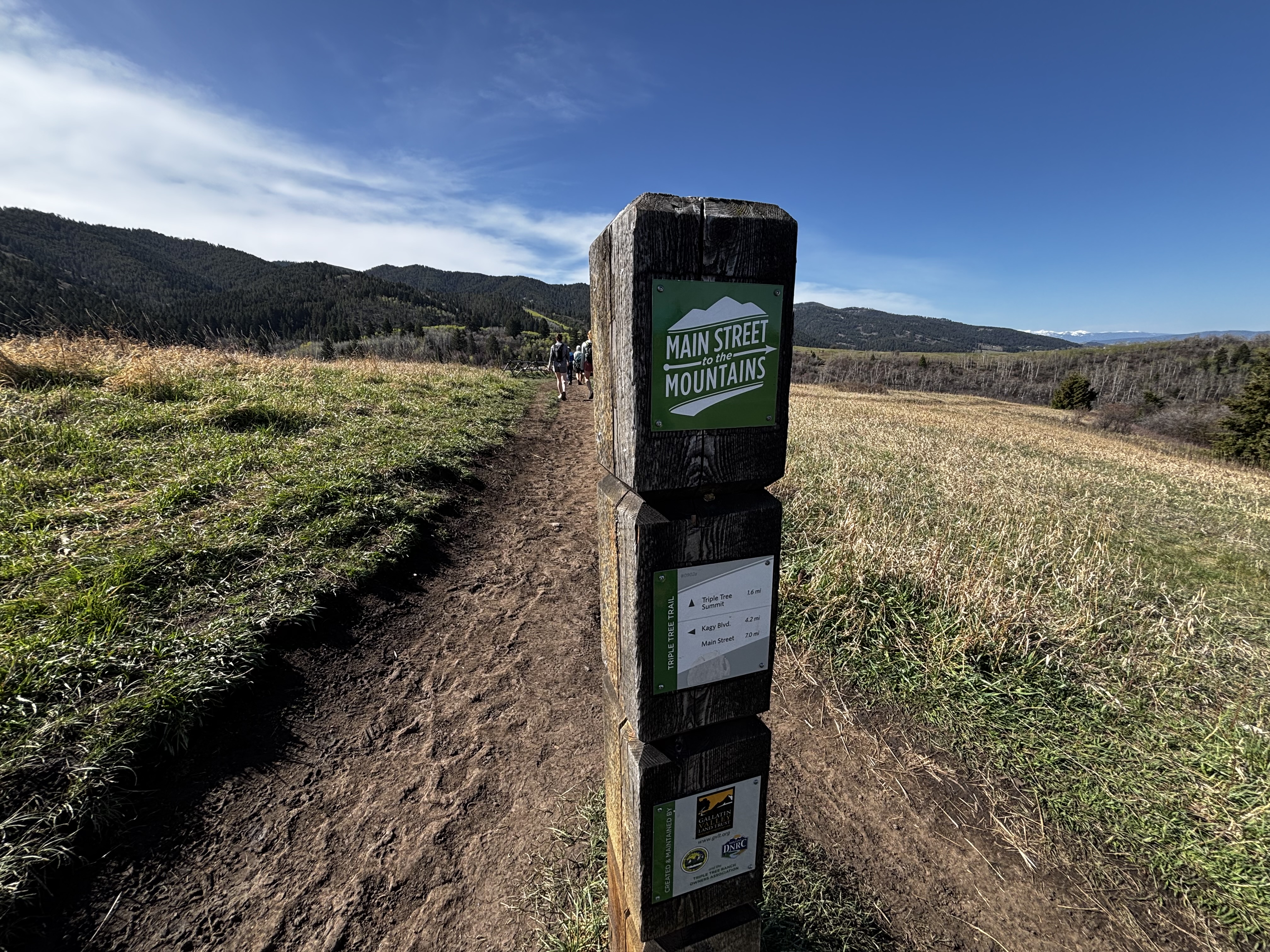
Main Street to Mountains Network
Triple Tree connects to the Painted Hills trail and Highland Glen for a 15-mile loop that links back to downtown without a car. Trail runners use this connection regularly. The Painted Hills trailhead is the nearest connection point heading toward town.
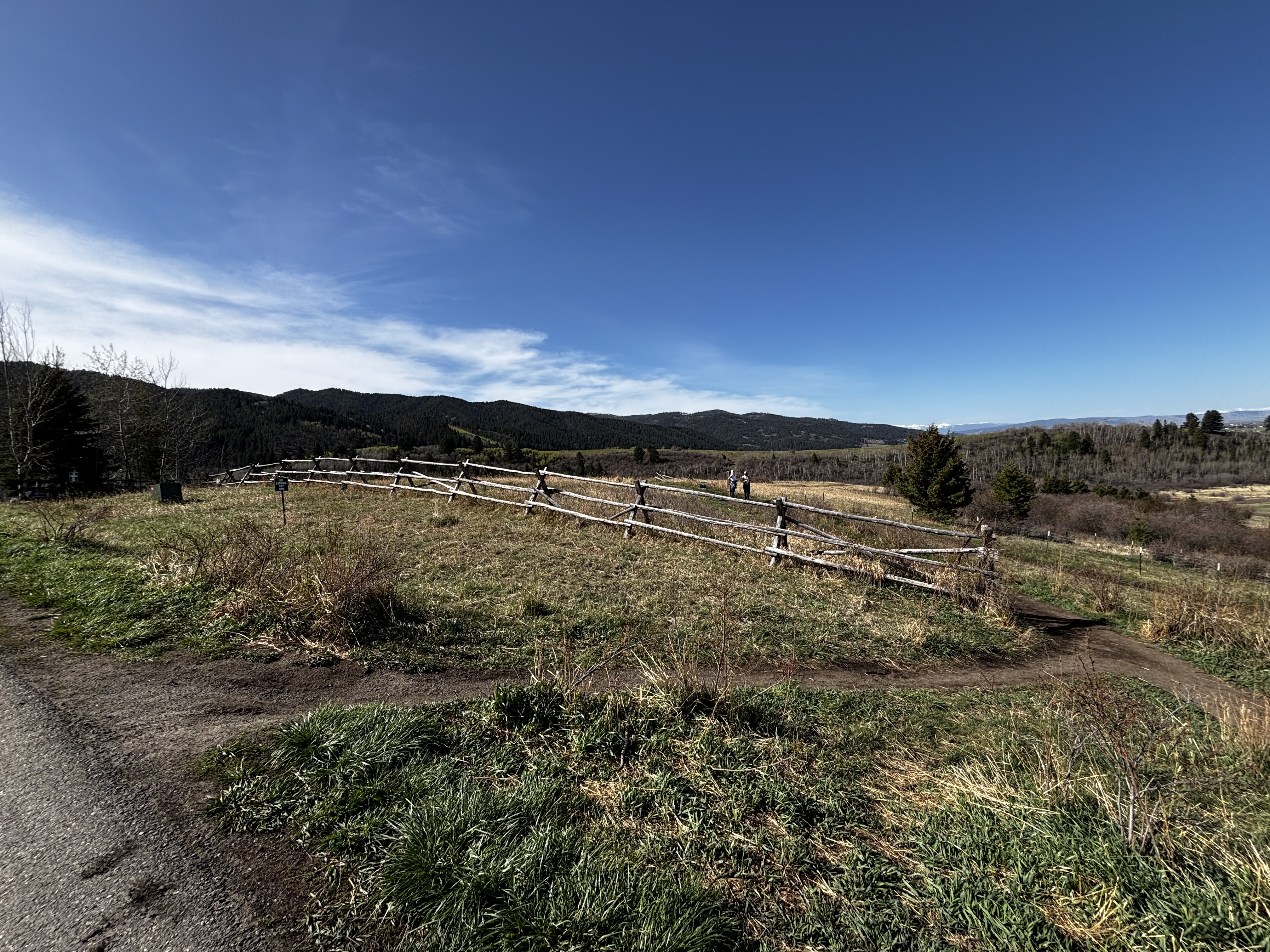
The trail is well-marked with wooden TRAIL posts and the lollipop design keeps navigation simple. There is a full trail map posted at the kiosk at the Sourdough Road trailhead.
Triple Tree hikes best from late May through October. Spring snowmelt turns the Limestone Creek section into a mess that is miserable without rubber boots.
June through September: dry trail, wildflowers on the upper slopes, full valley views. Go early on summer mornings since the lower meadow section has no shade and gets hot by midday.
Late May and October: lighter crowds, cooler temperatures. Pack a layer and microspikes for the upper timber section, which runs 10 to 15 degrees cooler than the trailhead and holds ice well into spring.
Mid-March through mid-May: the Limestone Creek section picks up snowmelt from the surrounding slopes and turns into churned-up mud. Hike Drinking Horse's south-facing fork instead until Triple Tree dries out.
Dogs are allowed but leashes are required. There are active bear signs at the trailhead and the leash rule is posted throughout. The trail is also heavily used by mountain bikers, so a loose dog in the lower blind-corner section is a real safety problem. Bring a leash and use it.
Counter-clockwise, staying left at the fork when the trail splits into the lollipop. This gives you a gradual shaded climb through the switchbacks and your entire descent faces the Gallatin Valley. Clockwise puts the steep unshaded section on the climb and the views behind you on the way home.
Mid-March through mid-May is rough. The lower section near Limestone Creek picks up snowmelt and turns into a churned-up mess. Wait until late May, or hike Drinking Horse's south-facing fork in the meantime.
Yes, longer than you would expect. The north-facing timber section holds hard-packed ice for weeks after the lower meadows dry out. Bring microspikes in your bag during shoulder seasons even if the lower trail looks clear.
There is a gravel lot on Sourdough Road that holds about 15 to 20 cars. It fills quickly on weekends. Don't park in the Triple Tree Ranch subdivision — signage at the entrance asks you to use the Sourdough Road lot.
Yes. Triple Tree is an official shared-use trail. Expect bikers on the lower section especially, coming downhill fast through the creek corridor. Blind corners in the brushy section are a real hazard for hikers with headphones in.
Plug 5.4 miles and 900 feet of elevation gain into our free hiking time calculator for a personalized estimate.