Plan a Bridger Range hike near Bozeman by comparing local trail guides, from short foothill routes to longer ridge and summit outings.
For a broader local planning guide, start with Hiking in Bozeman.
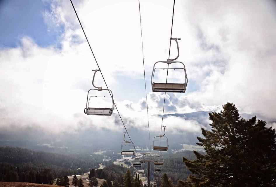
Bridger Bowl To The Ridge
5 miStrenuous
This hike winds below the chairlifts of the Bridger Bowl Ski Area in one of the quickest routes to the ridge of the Bridger Mountains. Without wasting too much time, the trail begins a steep ascent...
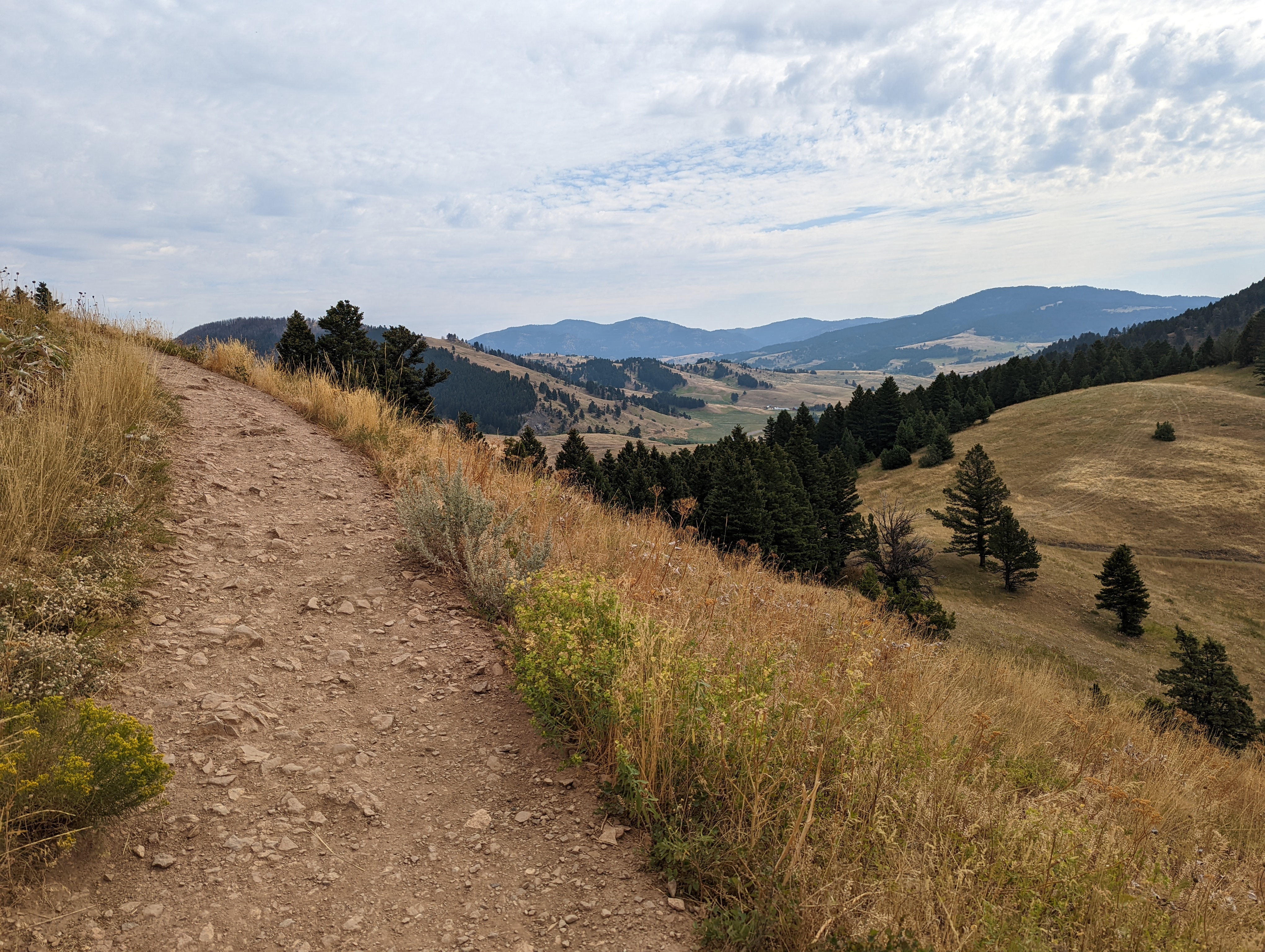
Drinking Horse Mountain
2.3 miModerate
Drinking Horse Mountain is a 2.3-mile loop located just across the road from the M trailhead. If you've ever shown up to hike the M and found the parking lot overflowing, Drinking Horse is your...
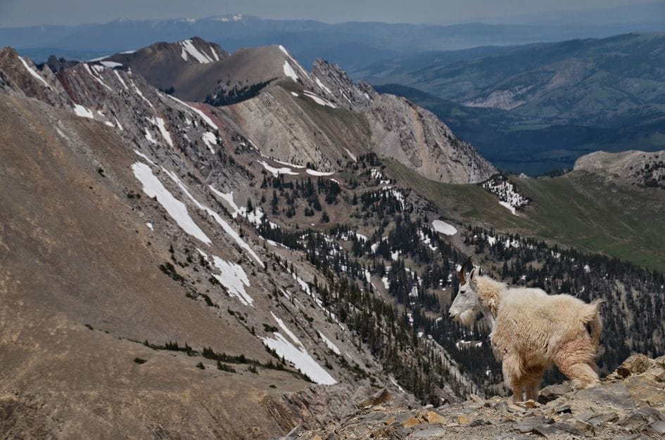
Fairy Lake To Sacagawea Peak
4.5 miStrenuous
Sacagawea Peak is located in the Gallatin National Forest and is the highest point in the Bridger Mountain Range sitting at 9,665 feet. You can reach the peak from several different trails, but the...
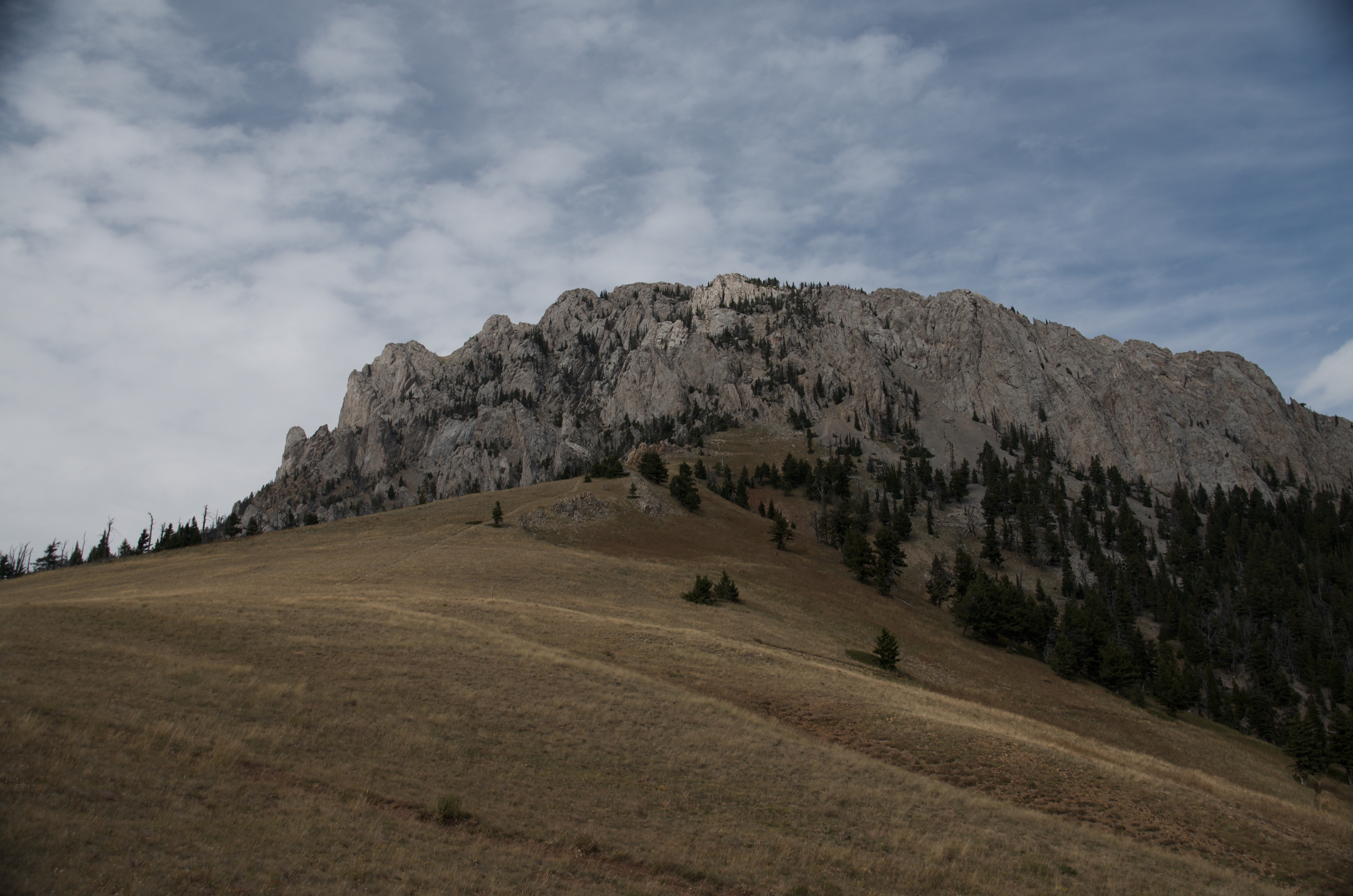
Ross Pass
4.8 miModerate
Ross Pass sits at the edge of what most Bozeman hikes are willing to give you. The trail starts along Brackett Creek, climbs through a mix of forest and open hillside, and deposits you at a signed...
Sypes Canyon
6.4 miModerate
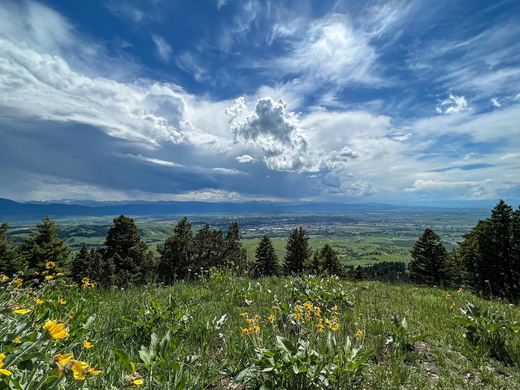
Sypes Canyon is one of the better close-to-Bozeman hikes when you want the Bridger foothills without committing to the full ridge. The first part starts from a small neighborhood trailhead, crosses...
The "M"
3 miModerate
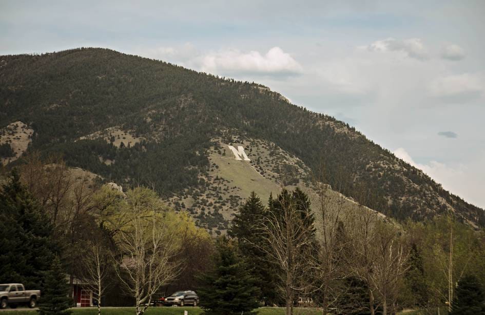
From just about any location in Bozeman & Belgrade you can spot the giant, white, collegiate-style "M" posted on the south side of Baldy Mountain in the Bridger Range. The "M", constructed entirely...
The Bridger Ridge Trail
18.7 miExpert
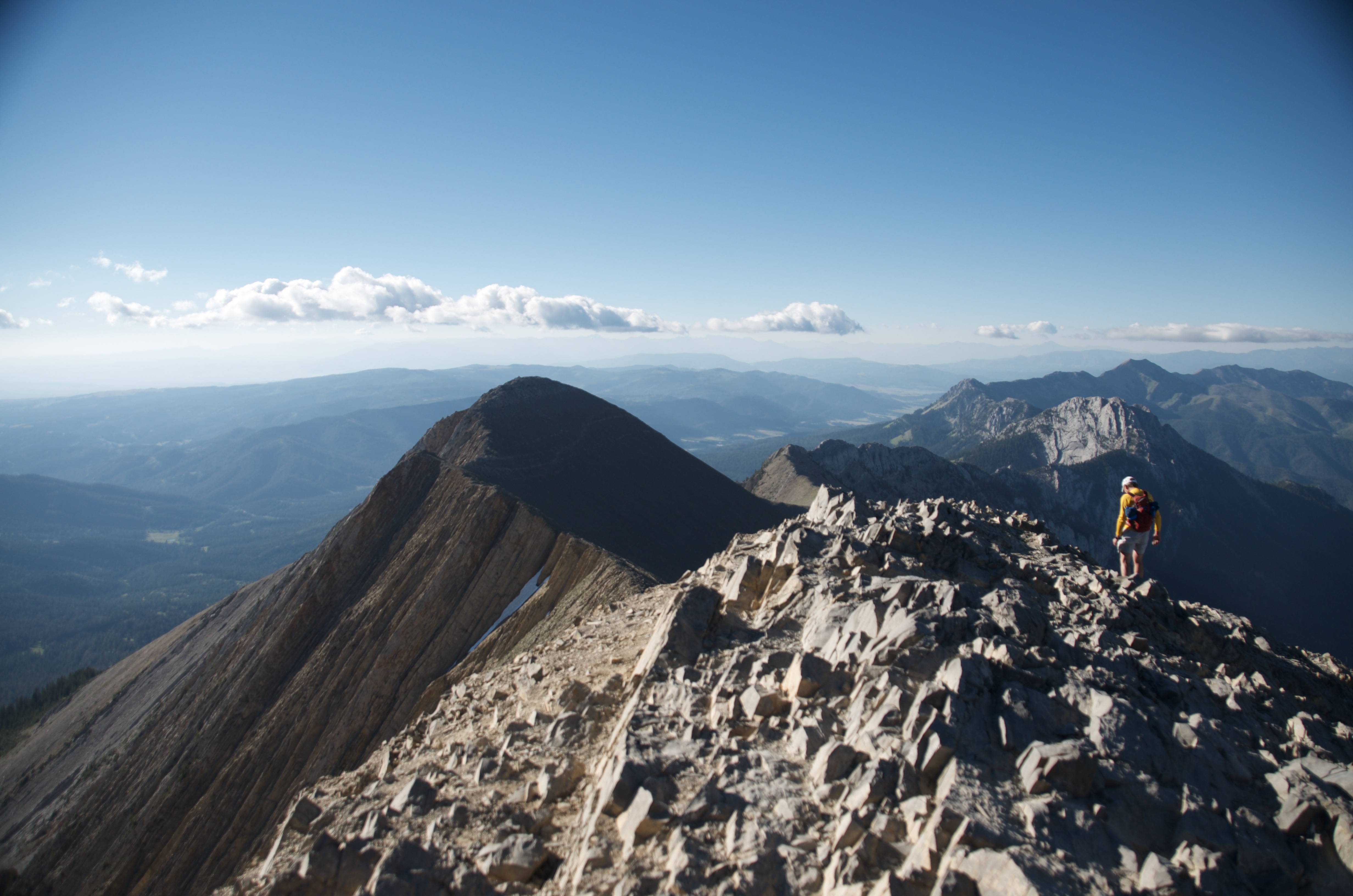
Most hikes near Bozeman take you to something: a lake, a waterfall, a summit. The Bridger Ridge Trail is different. For 18.7 miles you walk the spine of the Bridger Mountains, above treeline for most...